


By:
Submission
Panthertown Valley is a rugged and wild 6,311-acre backcountry area located on Nantahala National Forest in western North Carolina, on the eastern continental divide, between the Great Smoky Mountains and the Blue Ridge Mountains.
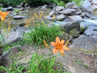
Panthertown features a diversity of native flora and fauna, pristine headwaters of the Tuckasegee River, a rare high-elevation southern Appalachian mountain bog, dozens of waterfalls, granite cliffs and domes, and is part of Blue Ridge National Heritage Area, and Bonas Defeat-Panthertown American Black Bear Sanctuary.
Friends of Panthertown works in partnership with the U.S. Forest Service to conserve this outstanding natural resource while improving the quality and experience of recreational opportunities in Panthertown.
Panthertown is a wonderful place to explore, however there are a few things you should be aware of before visiting for your first time. We hope this list of suggestions (and cautions) will make your experience in Panthertown Valley more enjoyable:
* Your safety is your responsibility. Plan ahead and come prepared.
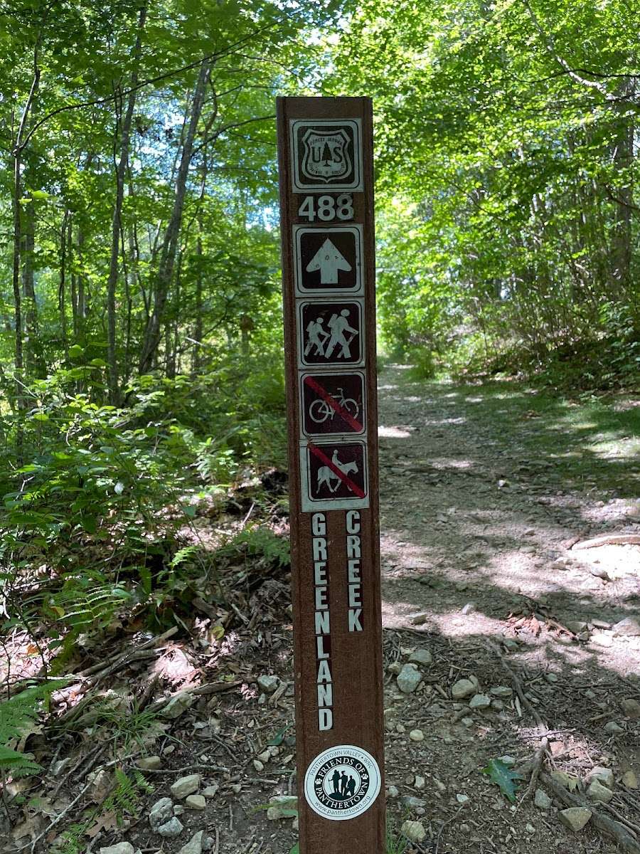
* This is a wild, rugged place with more than 30 miles of public trails spread out over 6,311 acres deep in the Nantahala National Forest. **It’s easy to get lost.** We recommend you bring a good map and compass, and know how to use them.
* Panthertown is NOT a National Park or State Park. It’s common to not see any other people when visiting. Cell phone service here can be spotty or unreachable. Use the trails with caution and at your own risk.
* **Bring plenty of water** to drink, or a filtration system to keep you hydrated. There are no water fountains, trash cans, or restrooms here.
* Please **carry out your trash** and practice Leave No Trace principles of outdoor ethics when visiting.
* Hiking in the forest can be dangerous, especially for inexperienced hikers. Know before you go, plan ahead, and come prepared for a fun backcountry experience.
* You may get hot, cold, wet, muddy, scratched up, and dirty just from hiking and exploring in Panthertown, so dress appropriately and in layers.
* Expect to hike several miles on uneven surfaces to reach the most popular points of interest, including waterfalls and overlooks.
* The hike out of the valley is uphill and can be difficult. Some hiking experience is recommended. Make sure you save some energy and water for your walk back to the parking area. That’s all part of the Panthertown experience!
* American **black bears live here** and are protected as part of the Bonas Defeat-Panthertown Bear Sanctuary. Panthertown hosts a diversity of wildlife, please do not feed the animals!
* Common natural hazards to watch out for include venomous snakes and yellow jacket nests.
* Friends of Panthertown volunteers only maintain the official trail system in Panthertown. There are hundreds of miles of user created footpaths that crisscross the valley. For your safety, and to protect the ecology, we recommend you stay on the marked trails and avoid short cuts through the woods. Remember, it’s easy to get lost here, and we want you to enjoy your backcountry experience.
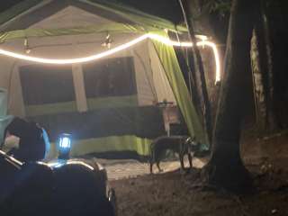
**CAMPING**
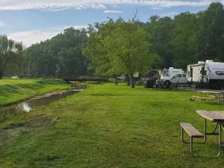
* **Dispersed camping is primitive and no amenities are provided. F**orest Service rules limit camp sites to no more than 12 people, and not within 50 feet of water sources. No permits are required for non-commercial groups.
* Please **use existing fire rings and never leave a fire unattended**. Make sure to properly extinguish and drown your fire and coals before leaving your camp site!
* Follow these recommendations to avoid any close encounters with bears: [https://panthertown.org/bears/](https://panthertown.org/bears/)
**PARKING**
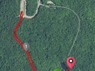
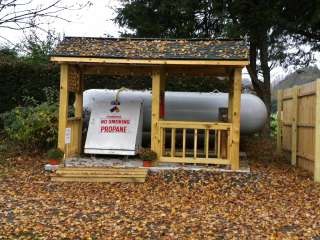
* There is limited parking at three entrances (Salt Rock Gap, Cold Mountain Gap, and Flat Creek), low-clearance gravel Forest Service roads, and heavy use on weekends. https://panthertown.org/directions
* Drive slowly and use caution to not damage your vehicle or the road.
* Equestrians please note: there are no horse trails at the Cold Mountain Gap trailheads. Horse trailer parking is prohibited there. The Salt Rock Gap entrance offers limited parking and can be difficult to turn a horse trailer around. If you use this entrance, we suggest that you park and unload your trailer on the pavement at the end of state maintained Breedlove Road.
* The Flat Creek parking area off Rock Bridge Road north of Lake Toxaway on NC 281 is the largest and offers a wide horse trailer turn around with easy access to the Panthertown Valley Trail System.
**LEAVE NO TRACE**
Always practice Leave No Trace principles of outdoor ethics when visiting.
The Seven Principles of Leave No Trace:
* Plan Ahead and Prepare
* Travel and Camp on Durable Surfaces
* Dispose of Waste Properly
* Leave What You Find
* Minimize Campfire Impacts
* Respect Wildlife
* Be Considerate of Other Visitors
Reprinted with permission ©Leave No Trace


My son and I wanted to try Panthertown out and had a great hike to one of the falls, next thing we knew...our short hike turned into a great 5 hour adventure. We went to several falls and some great overlooks. There are some pretty good places to camp and the place is HUGE! We had a very detailed map and used it constantly. We will definitely come back again to try more of the trails.

Love this place. I’ve been a few times and it’s just amazing. It’s definitely a high effort camp area with frequent rain and tons of natural moisture, but it’s just beautiful. Parking is easy. The hike down is about a half mile in so be ready for that, and don’t forget to take a picture of the map. It’s pretty hard to figure out where you’re going once you’re inside, as the trails don’t necessarily point you to the waterfall or landmark you’re trying to reach.

Overall this is a great place to experience both woods hiking and Mountain Views, if there were rains before the day you’re hiking, please get prepared for a lot of creek crossing. Be sure to bring a map or take pictures for the trails system at the parking lot. This position tagged on map is not the start of trail #474, it begins from the parking lot tagged on the map besides this one named as “West end parking nantahala forest”.
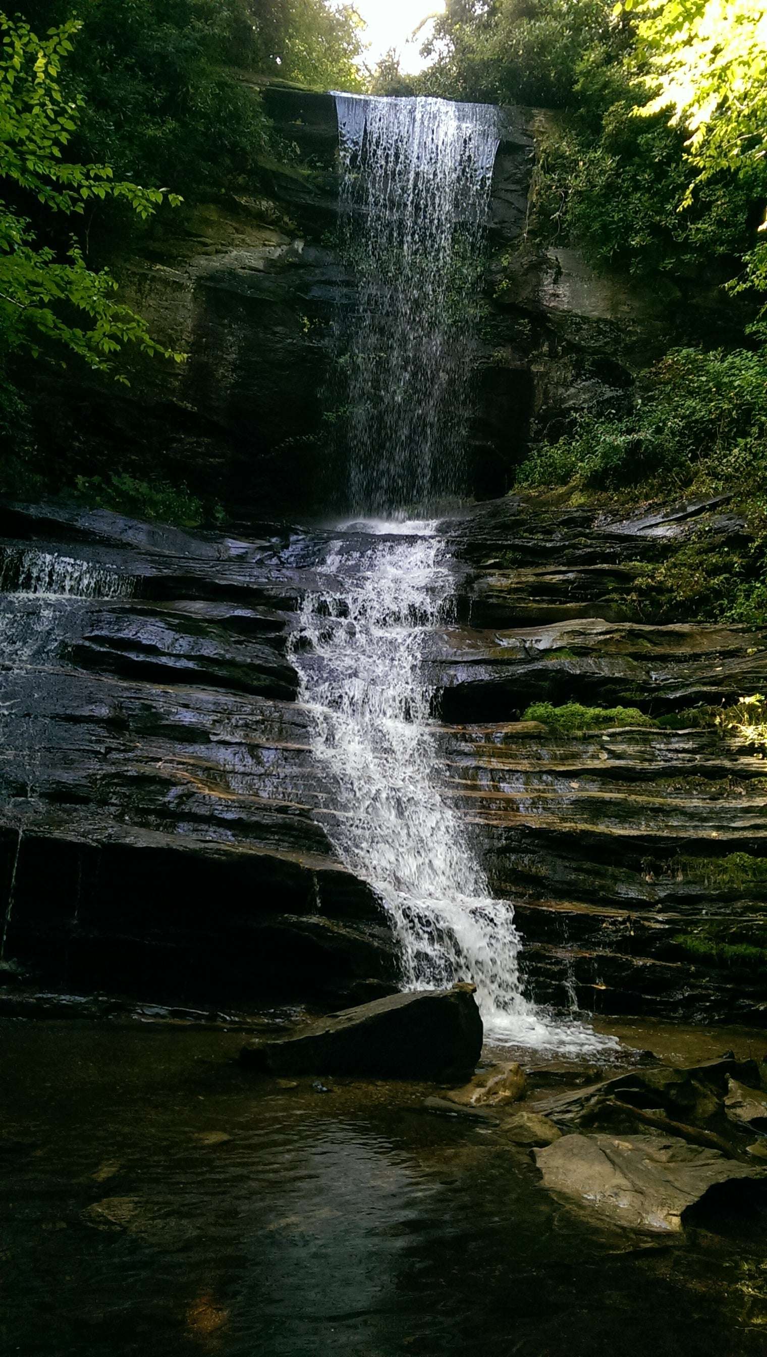
Keeps on #474 will see many small water fall and a small white sand beach. Shcoolhouse fall is a bigger one compare with those small ones.
Take the route that fit your needs since the trails system has a lot of intersections with different choices.

Great place to hike to several waterfalls, but wear waterproof shoes , pack water, snacks & hiking stick. Took a map and still got turned around. Wish trails were easier to understand. But we had a blast .Cause our adventures never turn out as planned, we just don't get discouraged. We set out for fun hikes and that's what usually happens.

What an amazing place! You can tell these are well-kept trails; massive thanks to those that do! We started on the PTV trail to sandbar beach, and then backtracked down to see Granny Burrel falls, Frolictown falls, and finally Wilderness falls. Almost exactly 5.5 miles. It was a bit muddy after the rain, but not really a problem. Elevation gain was minimal on our route - we'll call it "easy". That said, it was a little technical getting down to Wilderness falls and to get good pics at Frolictown falls.