By:
Submission
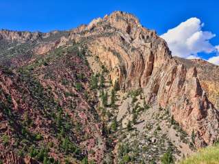
A geologic curiosity - rare in Utah - the "Woodpile" is a cluster of lava logs formed about 30 million years ago during the Eocene Period. The "logs" were formed when a lava flow cooled into orderly columnar joints having 3 to 6 sides. The columns measure about a foot in diameter and up to 15 feet in length. This formation was on the rim of the caldera that collapsed due to a void left when lava flowed out from under the caldera. Basin and range faulting caused the formation to tilt onto its side. Erosion has exposed the formation we now see.
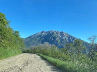
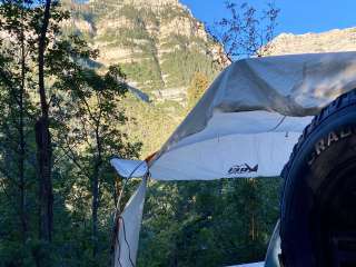
Paul Bunyan's Woodpile is located just east of Hwy 6, near Jericho Junction (the access road to Little Sahara Recreation Area). From Eureka, drive south on Hwy 6 for about 15 miles until you come to a good dirt road bearing east into the foothills. From Jericho Junction, drive north for about 3 miles to find the dirt road. At this writing, there are no signs on Hwy 6 marking the turnoff. There have been signs in the past and the turnoff will probably be signed again in the future. Paul Bunyan's Woodpile Follow the dirt road east for about 3.5 miles to the trailhead. There are signs along the dirt road showing the way and marking the trailhead. From the trailhead, follow the trail up the draw for about 1 mile, until you recognize the distinctive fins shown in the photo at right. The fins are located on top of the ridge to the left as you hike up canyon. The fins are composed of lava "logs" that look as if they were neatly stacked. Other logs are strewn haphazardly around the ridge top. When you can see the fins clearly, look for a trail that leaves the draw and switchbacks up the side of the ridge to the woodpile. If you continue up the draw you will swing around behind the woodpile and gain a view of the arch shown here. You can climb up to the woodpile from the backside but that rout is longer and much steeper.


Good hike. We went early in the spring so the road to get there was quite muddy. The hike isn't difficult except for the last 1/4 mile going up to the wood pile. Excellent view from the top.
There's also a few geocaches along the way which made it fun.

A really cool geological formation with just a short 2 mile hike in. You go about 2 miles on dirt road so be careful after the rain or in the spring as it can be muddy and slippery.

Very interesting. First 1./2 of hike very easy. 2nd half is moderate both steep up and slick down. Road in wad snow packed and muddy. Be prepared for these conditions. No restrooms, no water. Fun time!!😆😷

An amazing place. Short hike, no facilities, will be messy after a rainstorm. Come with water, hiking equipment, and have a great time! Little kids will enjoy.

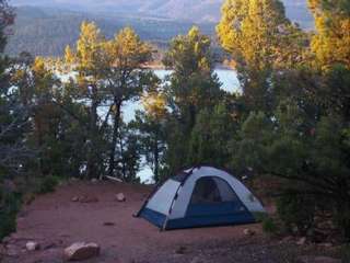
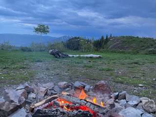
This was a fun little hike. The hike is approximately a mile from the parking area to the site. At the parking location you'll find a fire pit and pic nick table. The trail gets steep toward the last quarter Mile or so, but don't give up, it's beautiful at the summit. We found it well the time and effort.