
By:
Submission
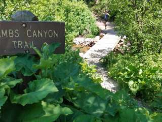
Salamander Flat trail connects the Timpooneke trail head with the Salamander Flat dispersed camping area and the Pine hollow trail. The trail starts by crossing a stream, then travels through large stands of fir trees, and crosses the road approximately 1 mile from the trailhead. The Salamander Flat dispersed camping sites and Junction with the Willow Hollow trail is .5 miles farther up the trail. From the dispersed sites, it is another .6 miles to the junction with the Pine Hollow trail #047.
Trail users should be aware of the high level of use that this trail receives, and should expect to see each type of user group on any given day. This trail is subject to a wet trail closure order during the spring and early summer. These closures help to protect and sustain the trail during wet periods. The trail will be signed as closed to all uses except hiking when these closures are in effect.
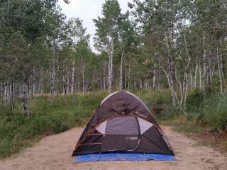
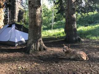
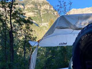
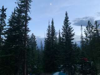
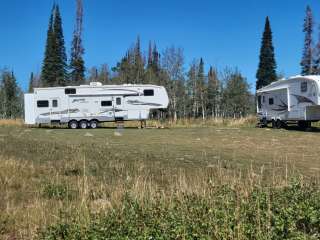
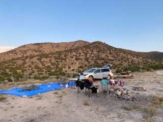
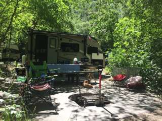
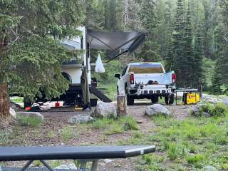
Many people enjoy the solitude and primitive experience of camping away from developed campgrounds and other campers. Dispersed camping is the term used for camping anywhere in the National Forest outside of a designated campground. Dispersed camping means no toilets, no treated water, and no fire grates are provided.
Camping in dispersed areas on the Forest is allowed for fourteen (14) days in any thirty (30) day consecutive period. Campers must move off Forest after reaching the 14-day limit. The stay limit also applies to all camping equipment (tents, chairs, ATVs, ATV trailers, etc.), even if used by a different person or group. Camping equipment must be removed by the end of the fourteen (14) day stay limit or the equipment may be impounded. Stay limits are implemented to reduce impacts to vegetation and wildlife habitat, as well as provide access to popular campsite areas for other visitors.
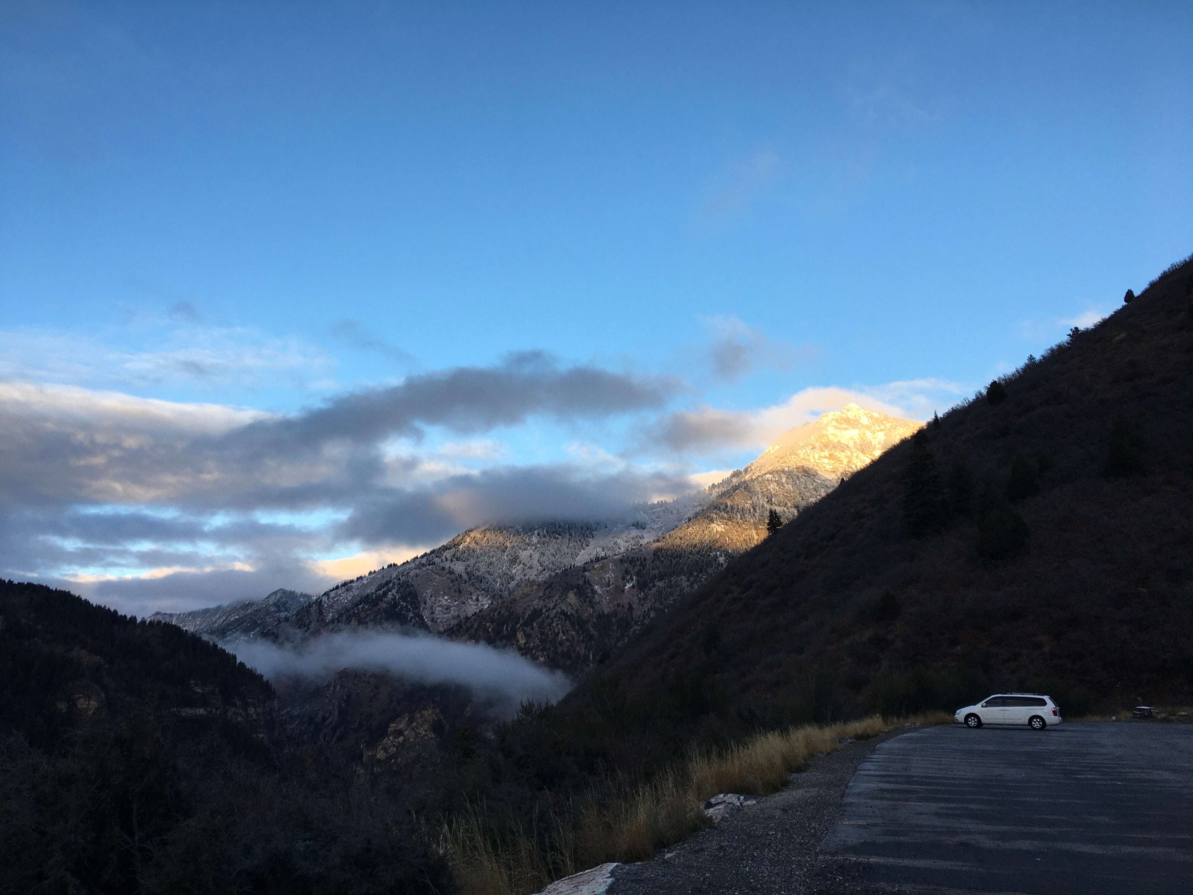
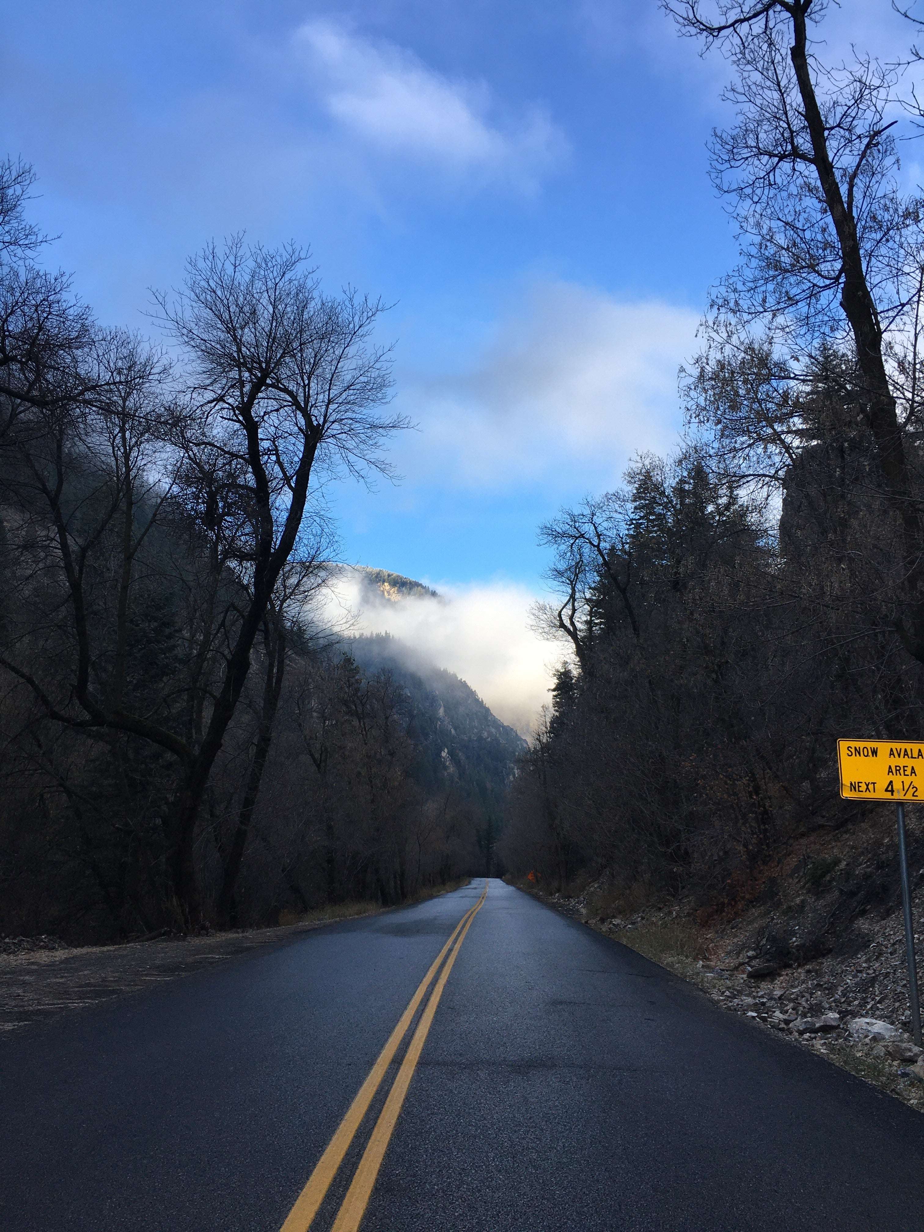
Beginning at the Information Station located on the American Fork side of SR-92, travel 8.1 miles to Timpooneke Road. Turn right, and continue approximately ¼ mile to the Timpooneke parking lot. Please park in designated spaces.
GPS Coordinates:
Beginning of trail: N 40° 25’50.1 W 111° 38' 20.27"
Junction with SR-92: N 40° 26’6.26 W 111° 37' 49.31"
Junction with Willow Hollow #159: N 40° 26’28.66 W 111° 37' 38.32"
End of Trail (junction with Pine Hollow Trail #047): N 40° 26’44.11 W 111° 37' 37.78"