By:
Submission
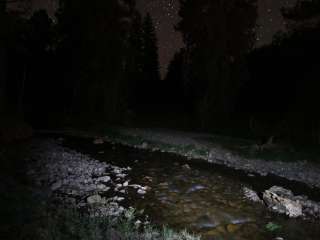
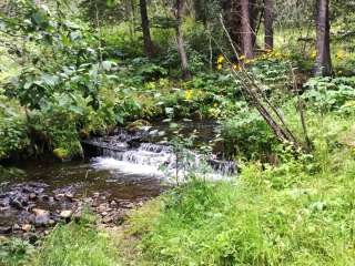
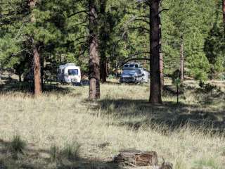
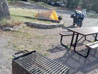
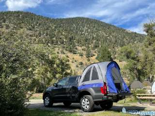
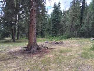
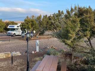
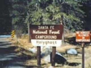
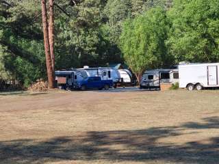
All recreation areas and trailheads south of Interstate 40 within the Sandia Ranger District. Please refer to the Manzanita Mountains Trail System map to plan your course. Cell phone coverage is not guaranteed It is the recreationist’s responsibility to know which trails are designated for motorized vehicles and to follow the guidelines. This is a multi-use area. Trail(s) open for the following uses: Hiking, Mountain Biking, Horseback Riding and OHV use. Area Trailheads: Lower Pine Trailhead Chamisoso Trailhead Coyote Trailhead Tunnel Canyon Trailhead Otero Canyon Trailhead Pine Flat Trailhead Cedro Trailhead Oak Flat Trailhead Area Picnicking: Pine Flat Group Picnic Area Oak, Yucca and Locust Picnic Group Areas Area Camping: Cedro Peak Camping Area
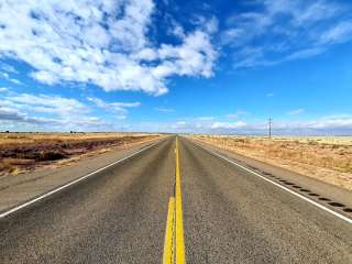
From the west (Albuquerque), drive East on I-40 and exit at Exit 175. At the bottom of the ramp there is a traffic light. Continue straight through the light on NM 337. The Manzanita Trail System is along this corridor.


Lots of tree cover for hot days, beautifully maintained trails and signage. So many trail options!

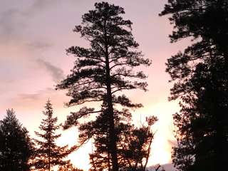
The Manzanitas are great for a variety of activities. There are trails for hiking, horseback and motorcycle riding, and four-wheeling. There are meadows and rocky crags. Bring water and enjoy some amazing views. You won't regret the effort it takes to find this wonderful place.