By:
Submission
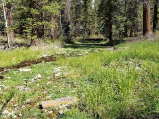
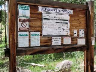
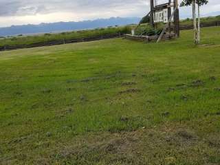
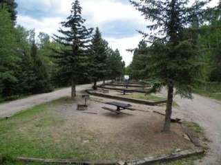
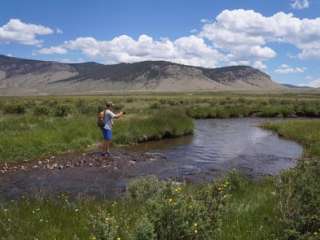
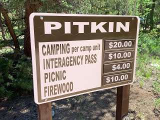
Fishing in area streams, mountain biking on forest roads. 4 WD Forest Roads 685 and 684 are nearby. The picnic area is situated at the base of Storm King Mountain (elevation 10,849). It lies in an Aspen glen amidst rolling and rocky hills on the Middle Fork of Carnero Creek. No drinking water or refuse receptacles are provided; however, 2 single picnic sites w/picnic tables, restrooms and fire grates are available.
Directions from Saguache, Colorado: Take CO Highway 114 for 14.5 miles west to County Road 41G, follow Forest Road 690 (CR 41G) over Carnero Pass. The campground is 14 miles from Highway 114 by this route. The picnic area is adjacent to the campground. Directions from Monte Vista, Colorado: From U.S. Highway 285, take the La Garita turnoff (County Road G) and follow the paved road 6.0 miles west. Where the road forks, take the graveled Carnero Creek Road (FR 690/CR 41G) 14.5 miles northwest to the campground. The picnic area is adjacent to the campground.


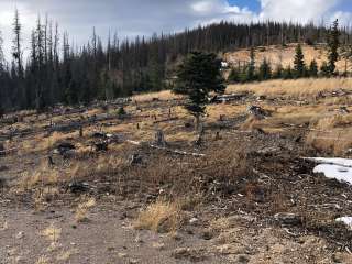
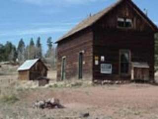
A place to remember the 14 smokejumpers who lost their lives in the line of duty, a sad moment to remember.


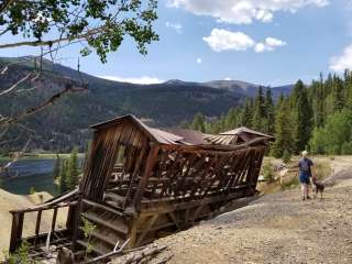
Trail With a nice clear path. With parking lot. A fire from years ago and you can still see the after effects.