
By:
Submission
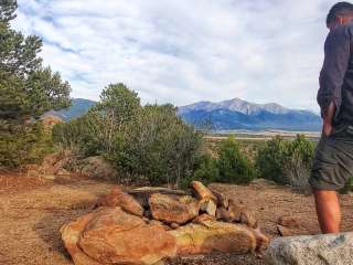
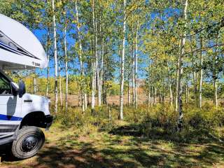
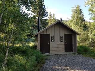
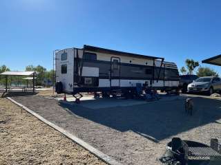
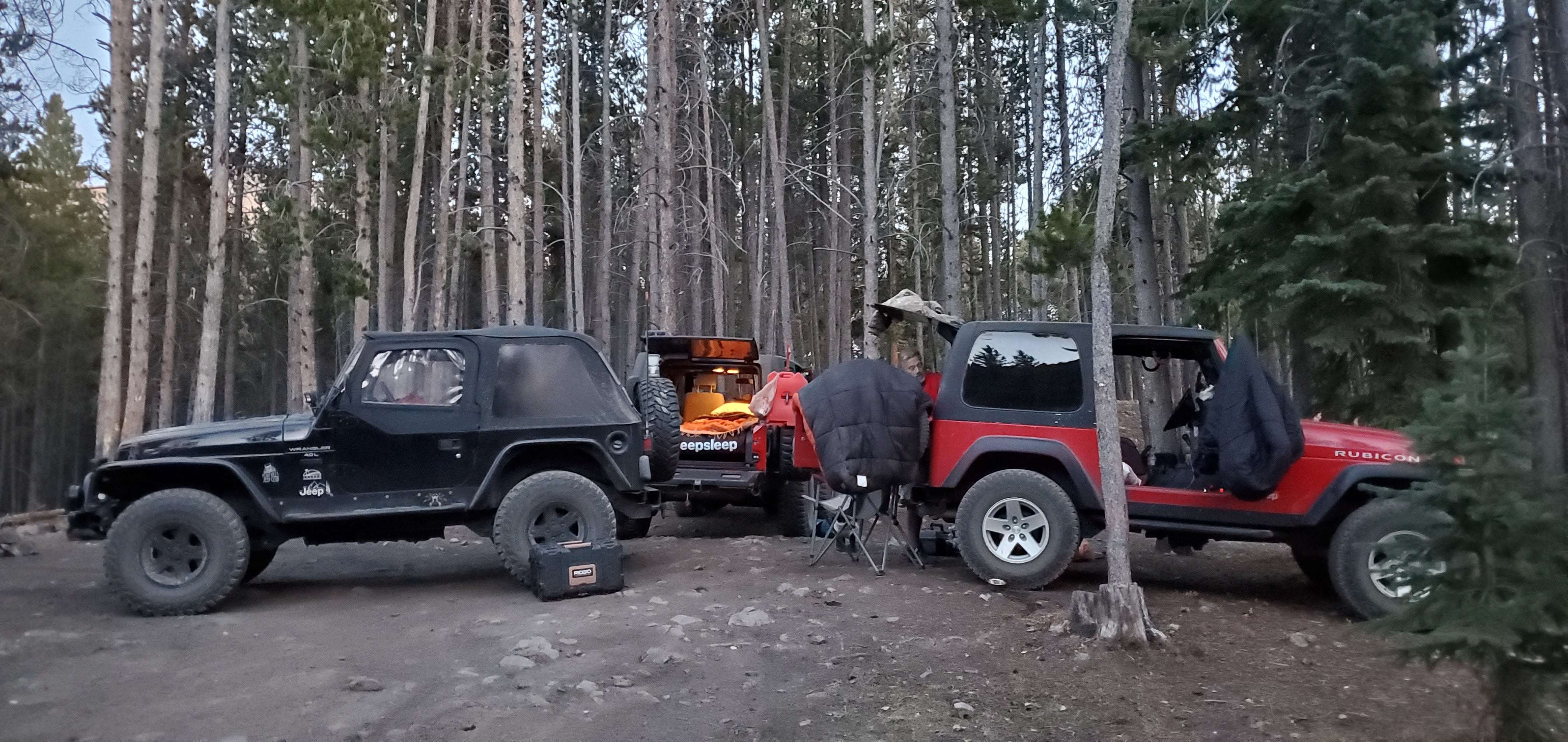
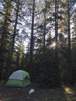
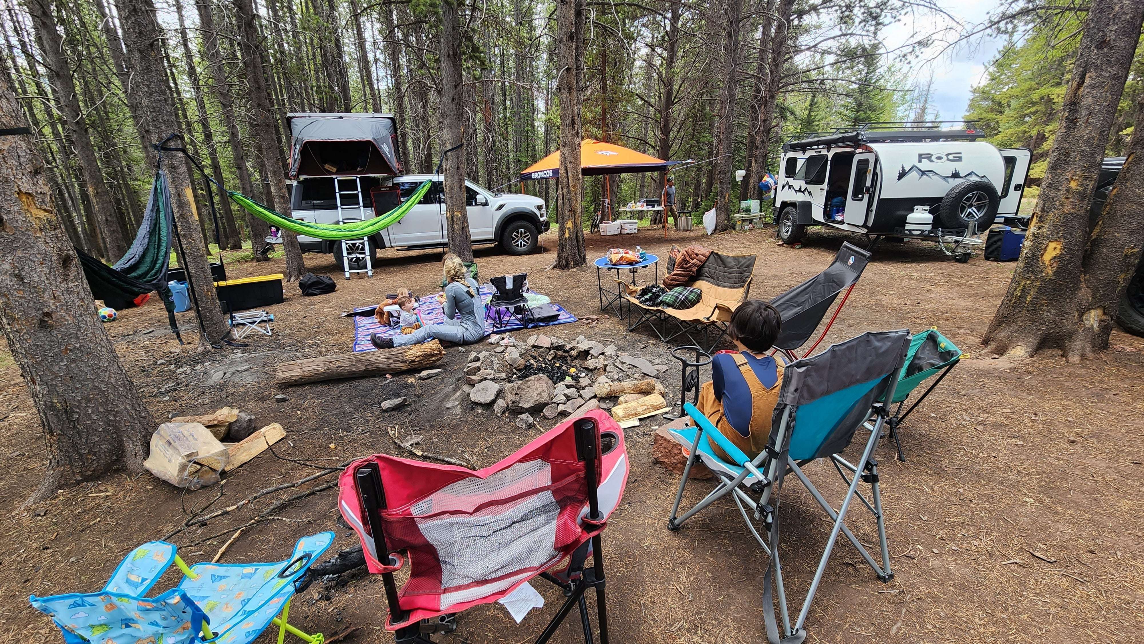
This designated dispersed camping area along County Road 10 has 23 sites.
**Please note: Camping is ONLY allowed in areas designated by a sign. ** Camping in undesignated spots could result in a citation from the U.S. Forest Service. Not adhering to camping duration maximums or using U.S. Forest land for residential purposes could result in a citation from the U.S. Forest Service.
Please refer to special orders and contact the USFS Offices with questions: https://www.fs.usda.gov/Internet/FSE_DOCUMENTS/fseprd842796.pdf
Regulations pertaining to designated dispersed camping are as follows:
Camp only in designated sites.
No camping at trailheads.
Food and garbage must be properly secured in bear-resistant containers or inside vehicles in sealed containers.
Pack out all waste: human, garbage, paper, organics, etc.
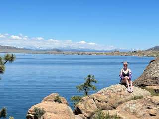
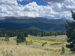
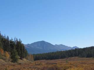
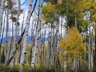
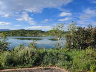
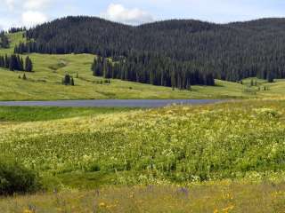
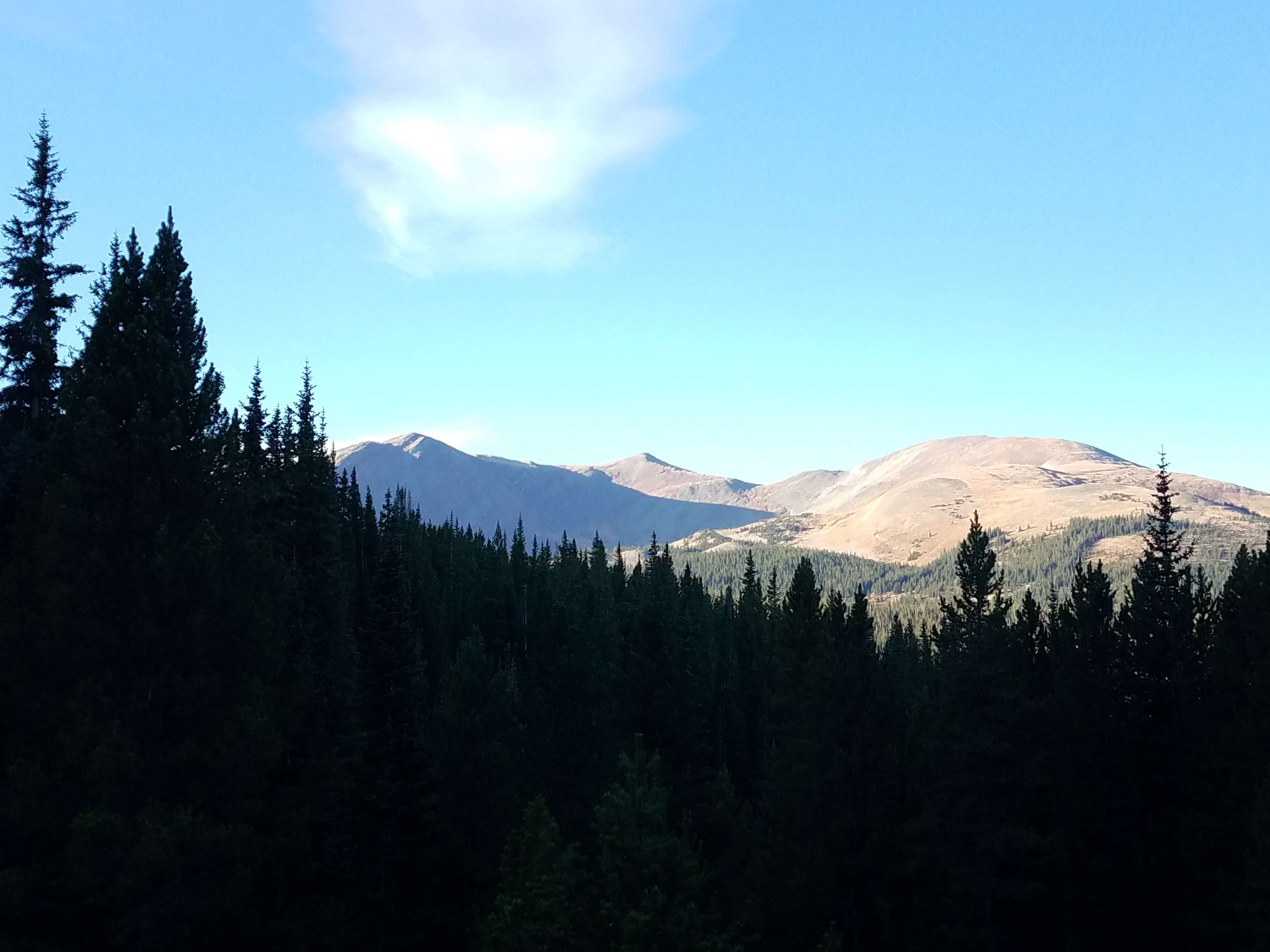
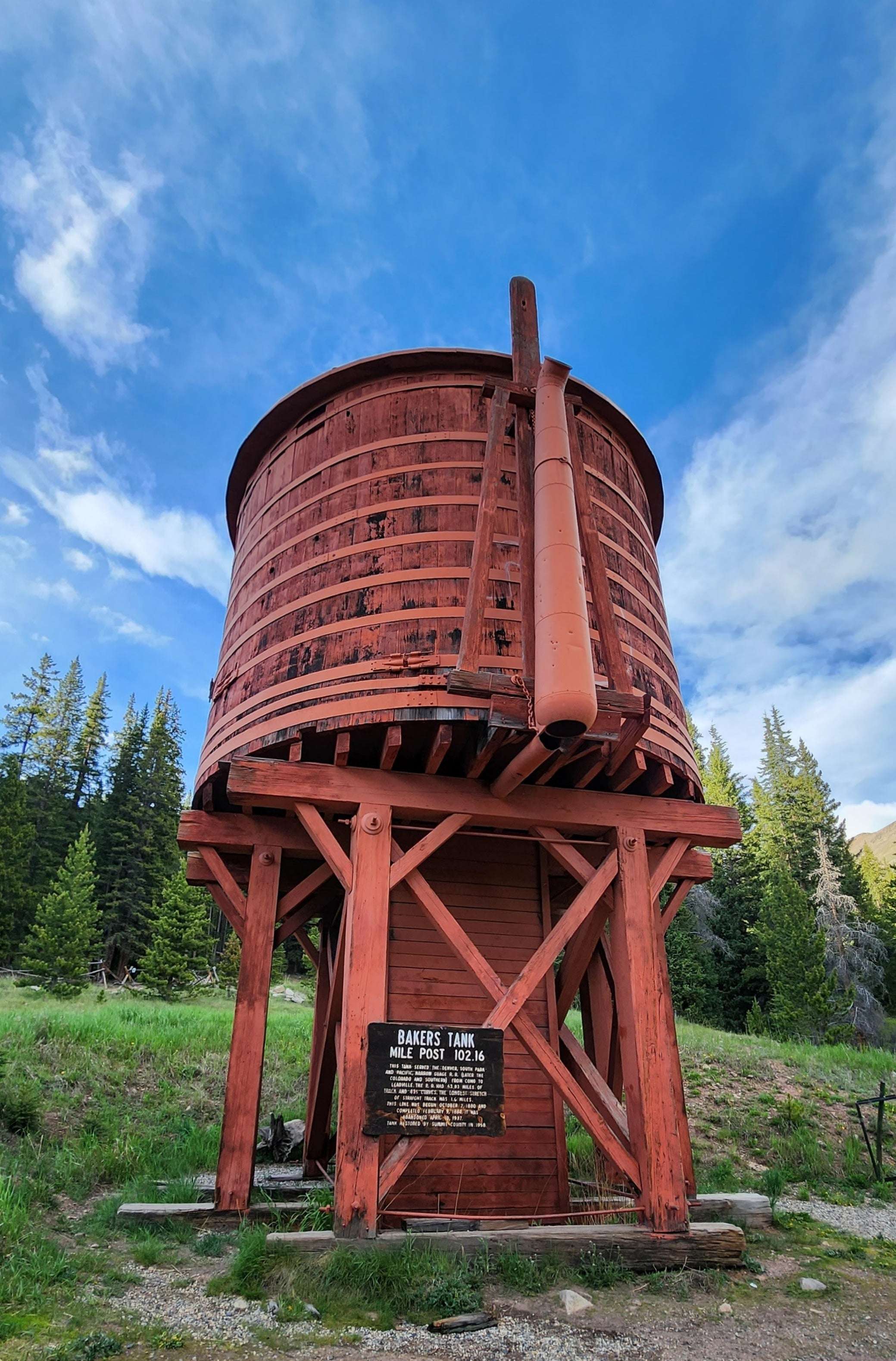
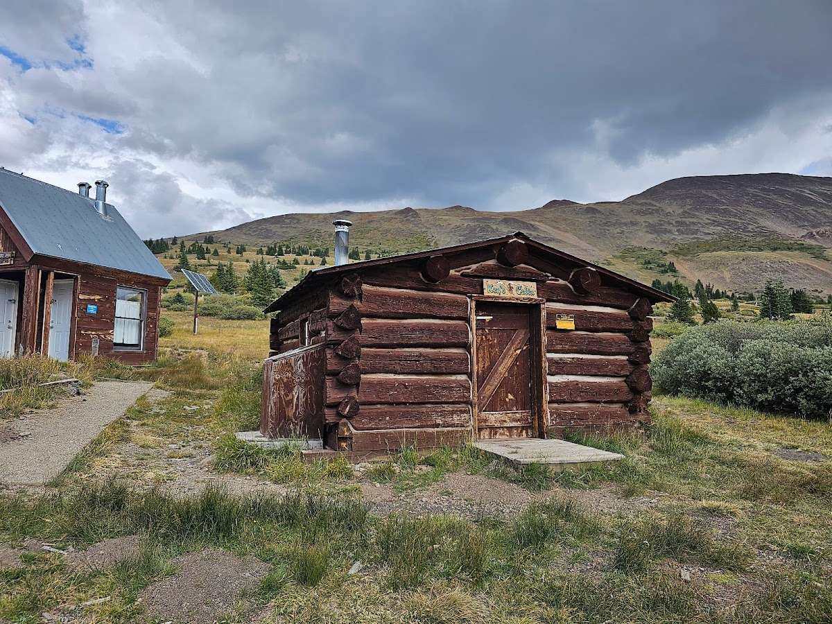
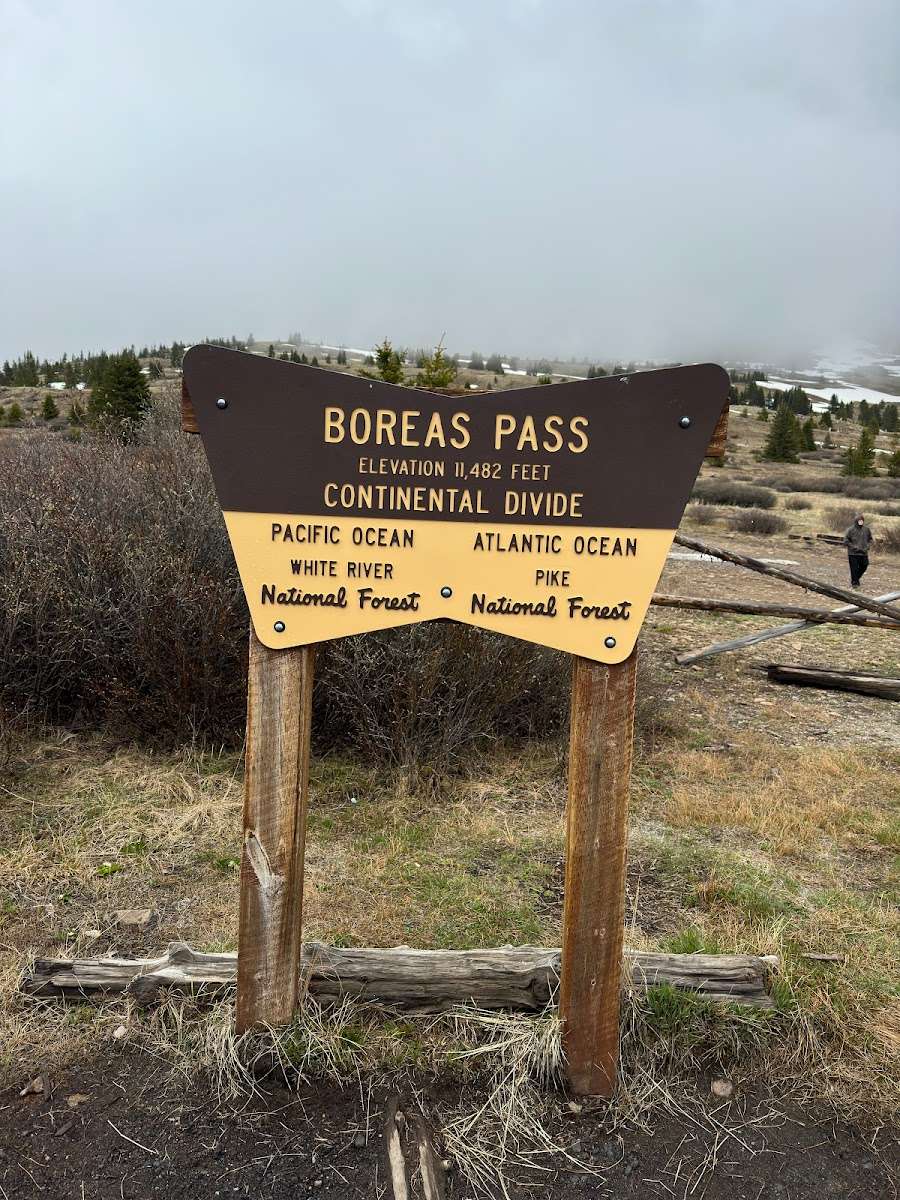
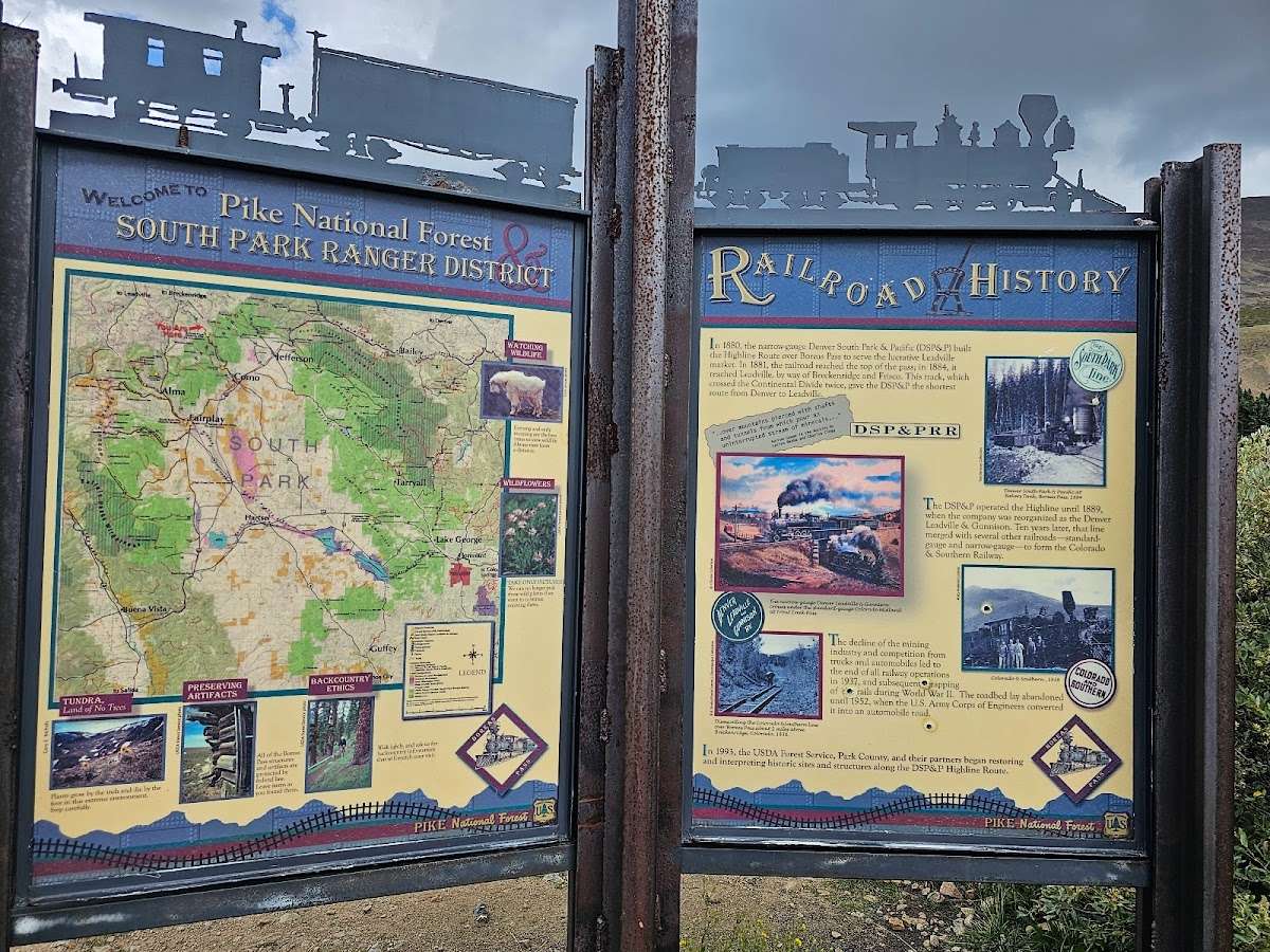
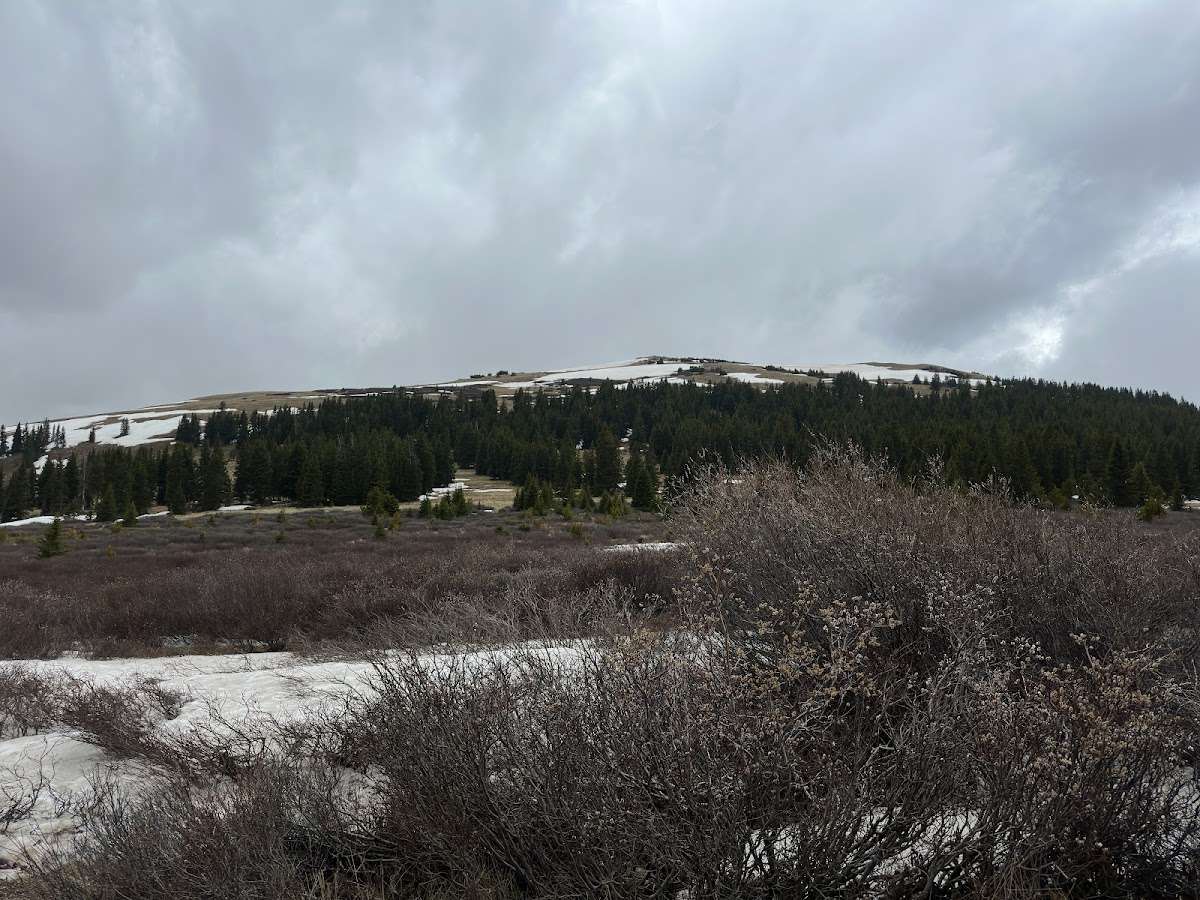
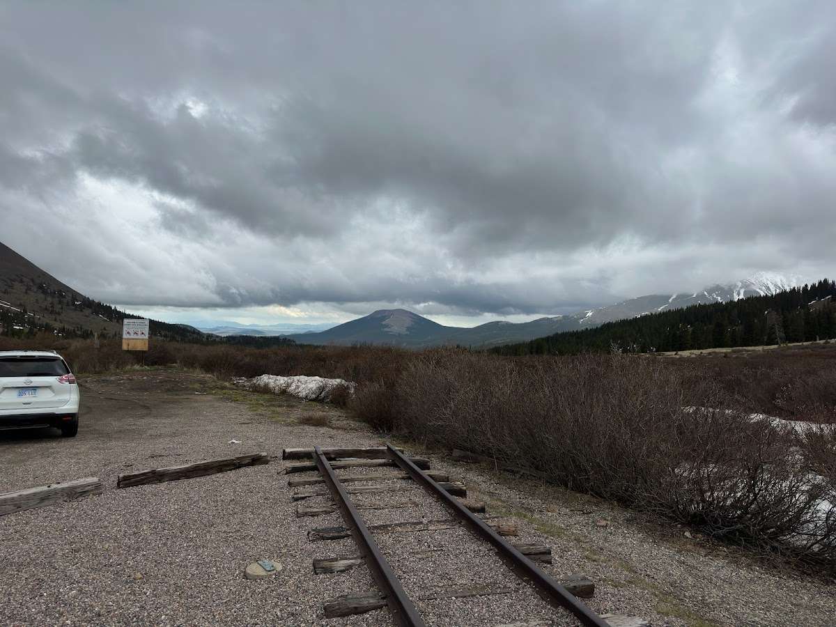
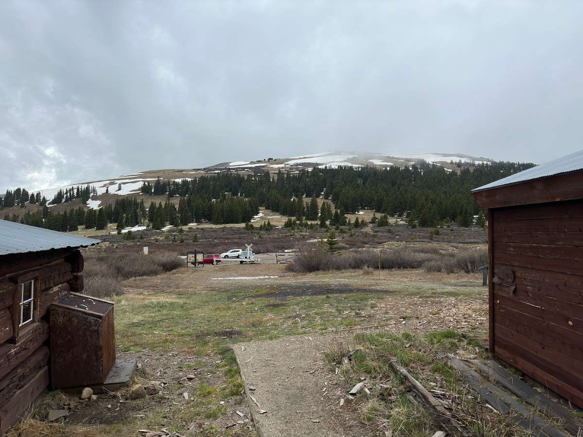
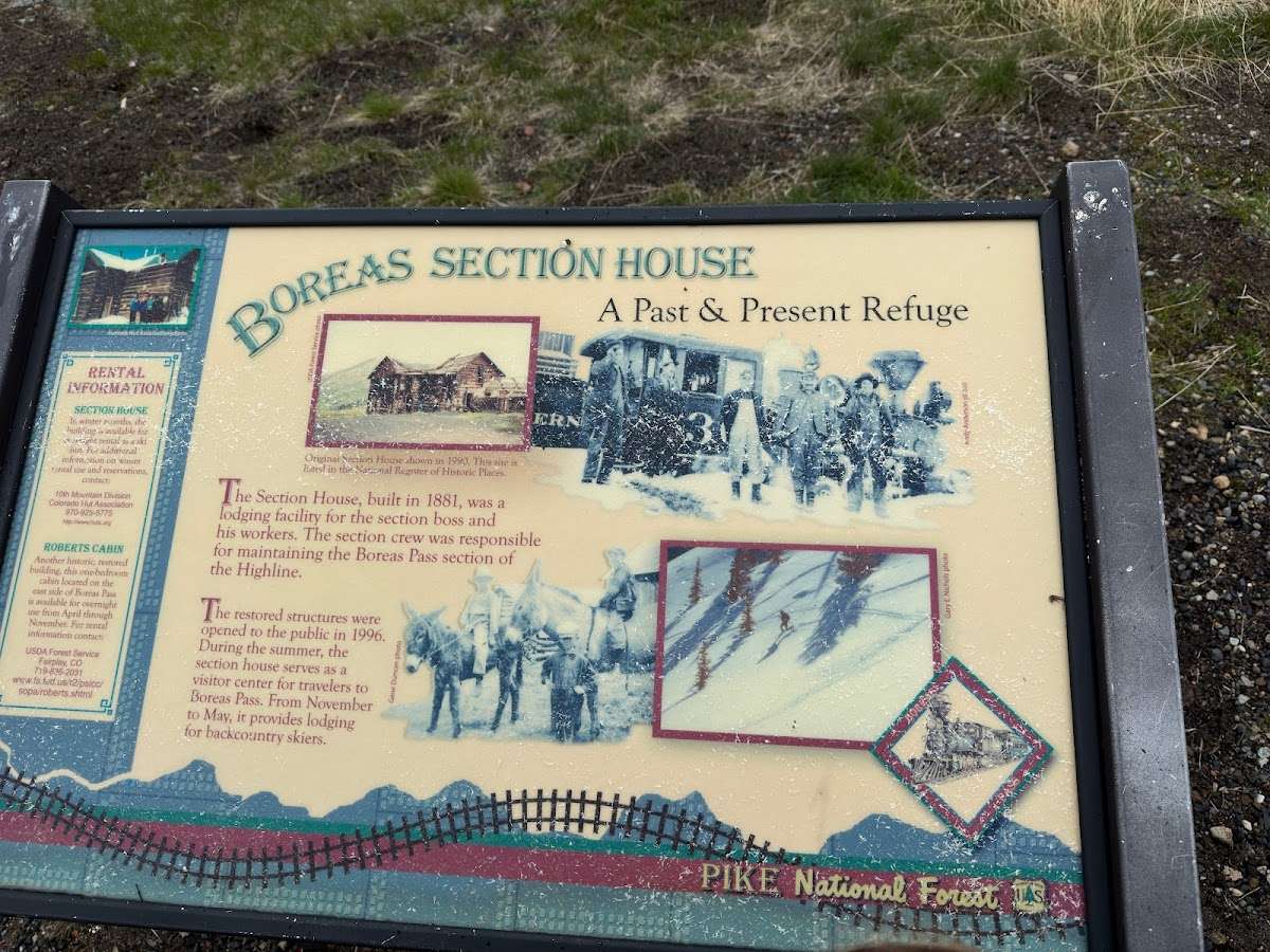
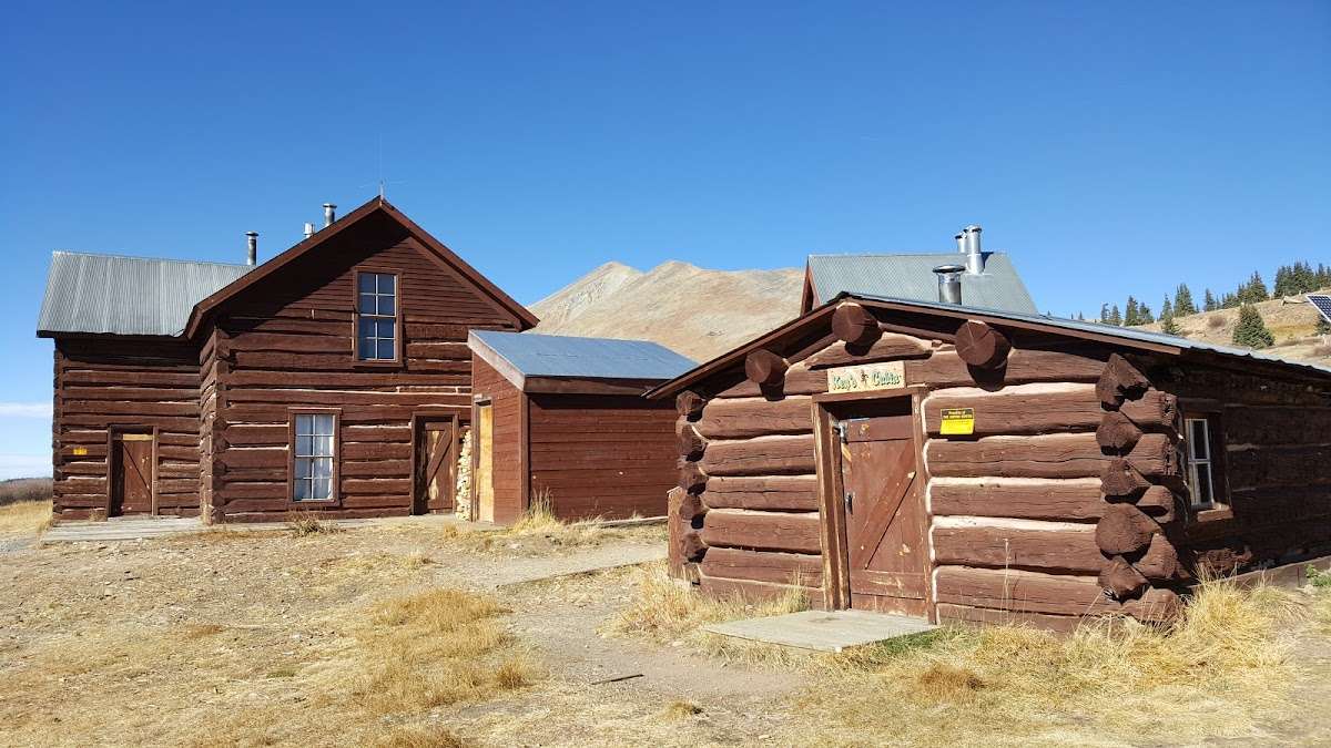
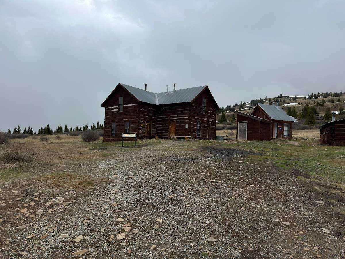
There are many dispersed camping opportunities in the forest ranging from backpacking to car-camping along designated Forest Roads. Visitors are encouraged to minimize resource impacts by utilizing established sites rather than creating new ones. Dispersed camping sites along Forest Roads are shown on Motor Vehicle Use Maps, which are available free of charge at ranger district offices.At the start of the tour you immediately have spectacular views of the Blue River Valley and the majestic Tenmile Range. The road, managed by Summit County, follows the old South Park and Pacific Railroad bed, climbing on a gradual 3% grade. The road climbs past Bakers Tank to the summit of Boreas Pass at the Continental Divide. The road then continues down the other side of Boreas Pass for another 10.4 miles to the town of Como in Park County. From 1872 to 1938 the road was used as a narrow-gauge railroad and gained fame as the nation’s highest narrow-gauge railroad, running from Como to Breckenridge. This is a great road to view Fall colors. This road is open to highway legal vehicles only during May-October, and closed to motorized vehicle access seasonally at Summit County discretion, generally October to May.
From I-70 take Exit 203, Frisco / Breckenridge, and travel south on HWY 9 through Frisco toward Breckenridge. At the southern town limits of Breckenridge turn left on Boreas Pass Road (County Road 10). Follow Boreas Pass Road approximately 3.5 miles to the Bakers Tank trailhead and parking lot on your left. The Bakers Tank Trailhead is the parking area for non-motorized road users.
This road is closed to motorized vehicle access seasonally at Summit County discretion, generally October to May.


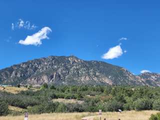
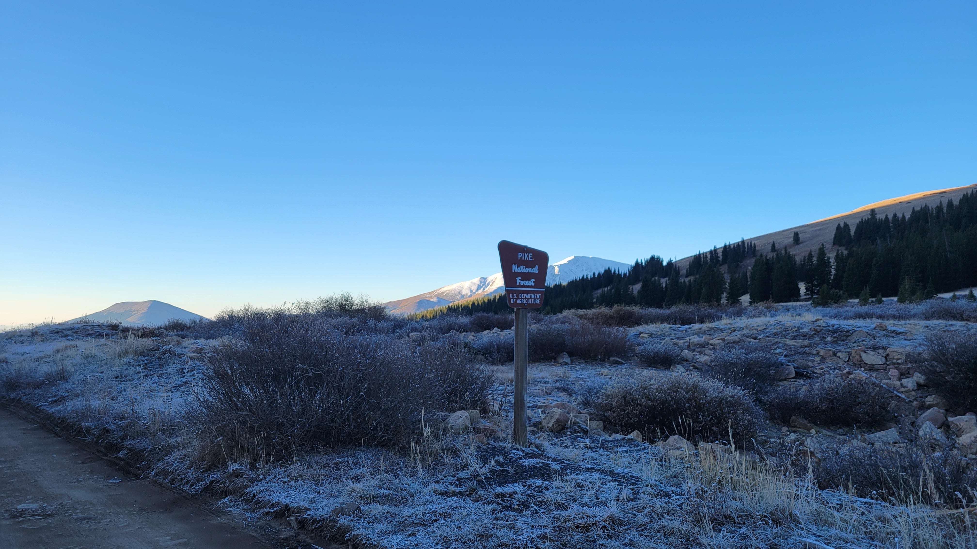
Trailhead to climb Bald Mountain. I’m a bit older and it took me 3 and 1/2 hours to summit.