By:
Submission
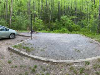
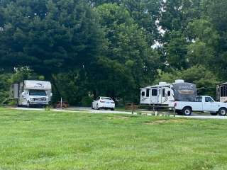
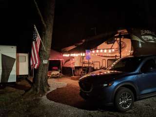
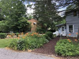
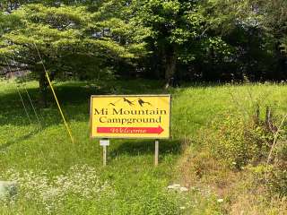
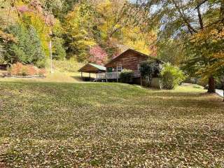
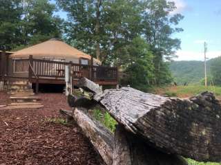
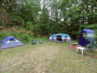
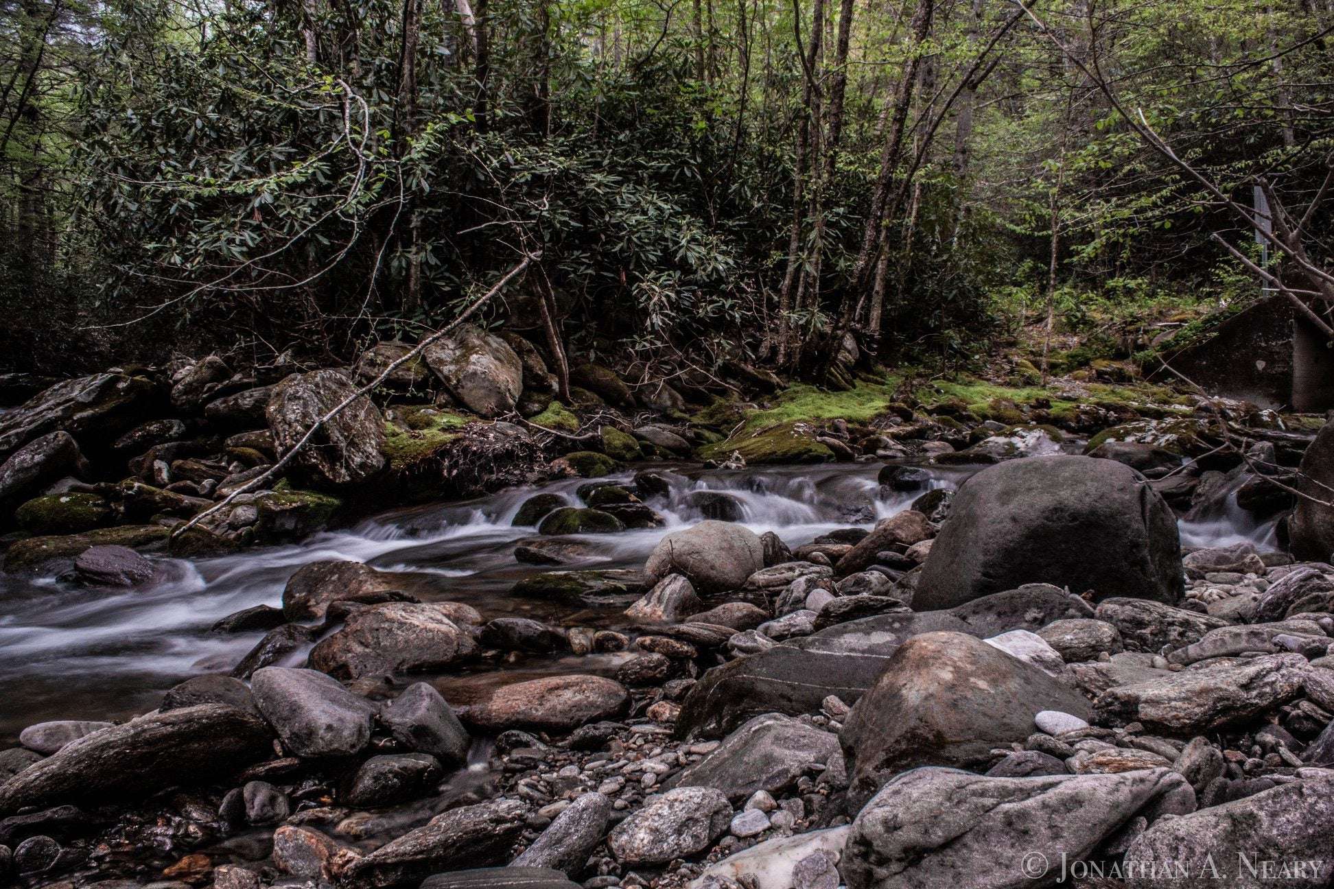
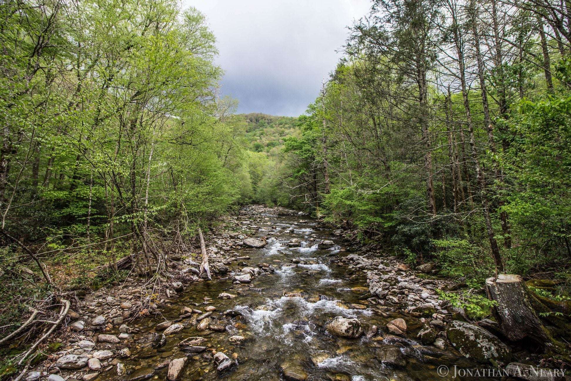
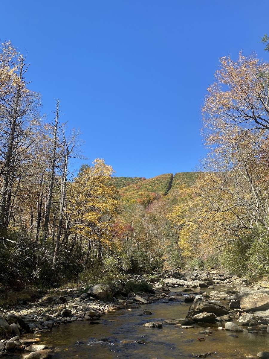
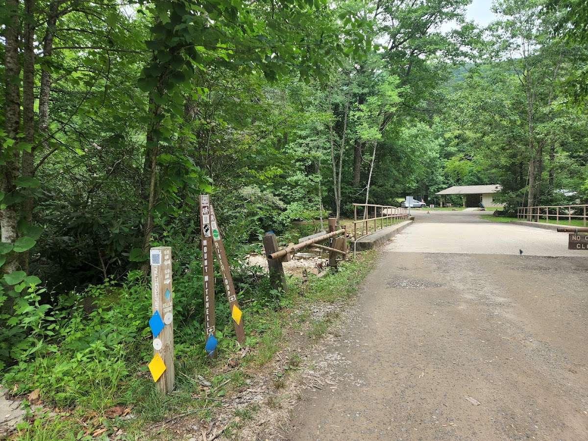
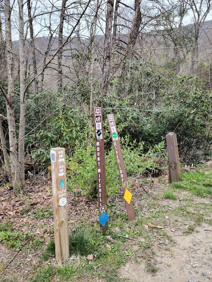
The South Toe River area is on the Appalachian Ranger District near Burnsville, NC. This area includes the Black Mountains, the Blue Ridge, and the headwaters of the South Toe River. The Black Mountains, capped with a forest of red spruce and Fraser fir, are named for the resulting dark color. Along the South Toe River, you can camp, picnic, fish, swim, tube, bike, and horseback ride.


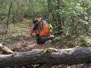
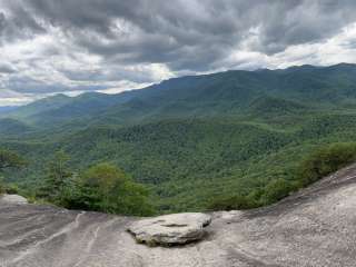
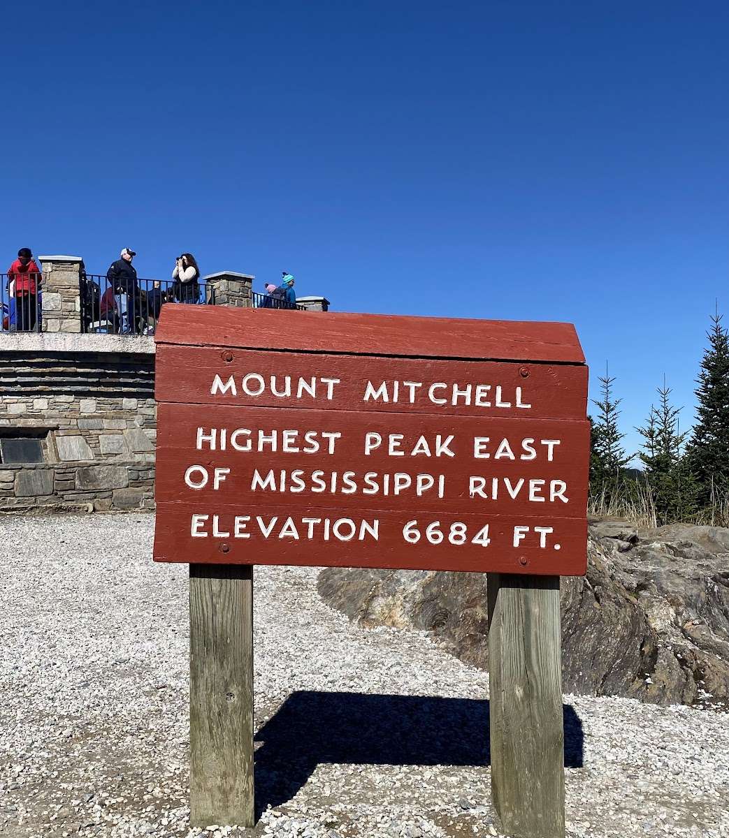
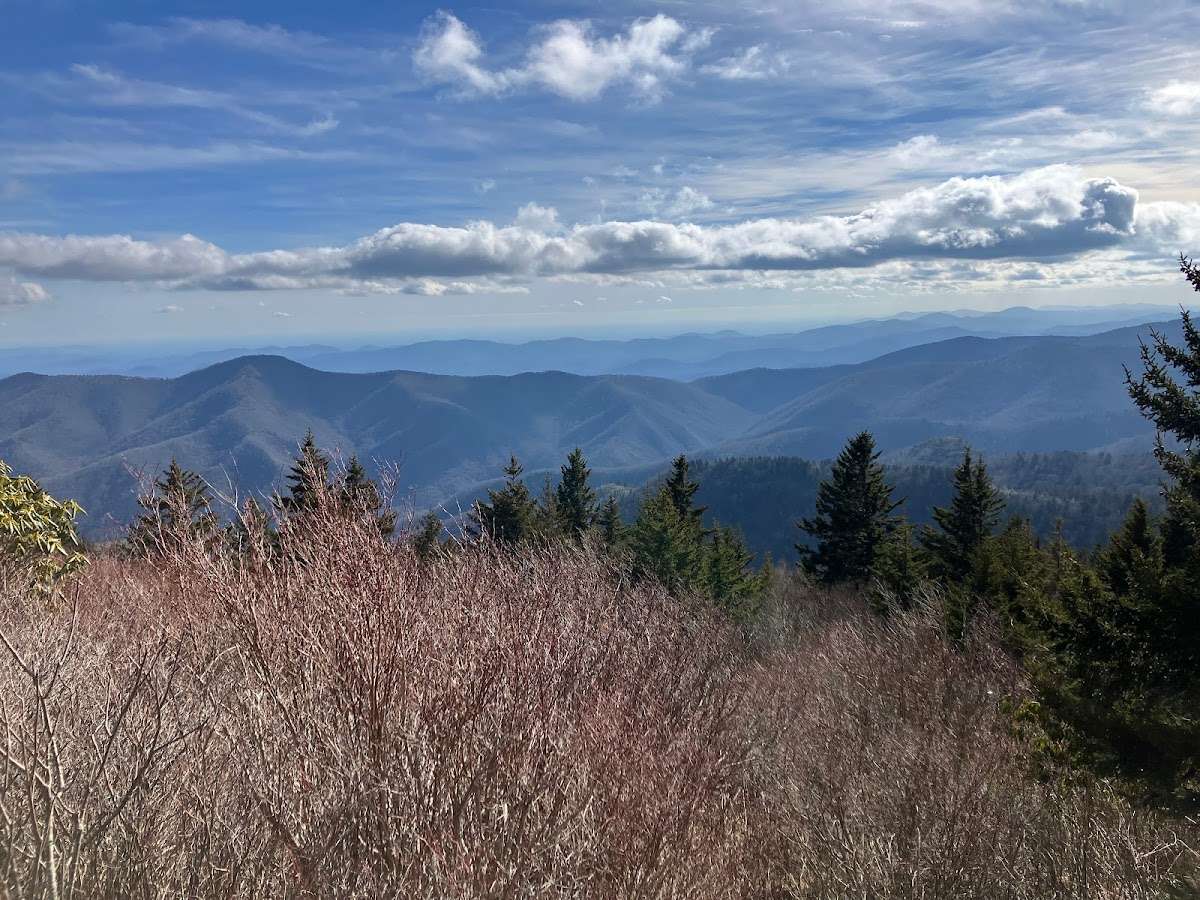
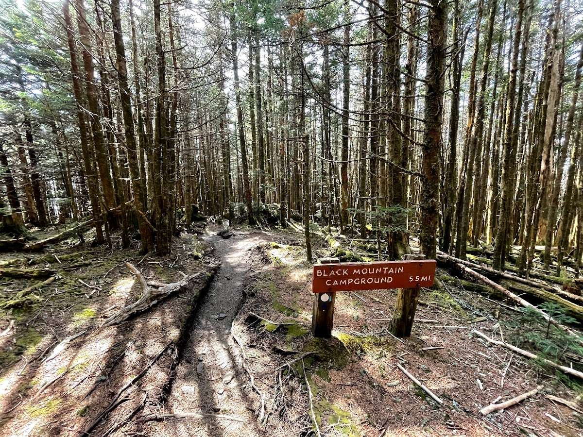
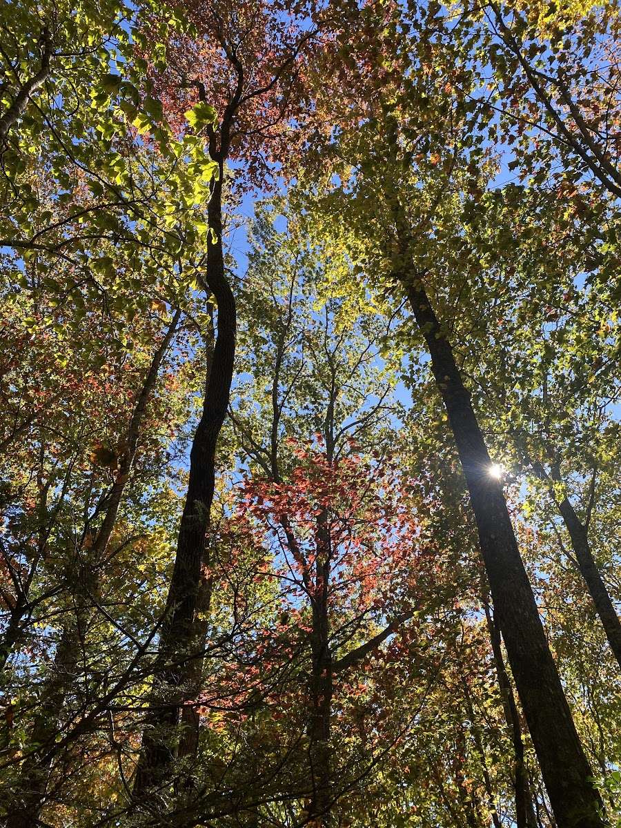
Mt. Mitchell Trailhead the top is an awesome hike. 6 mile with ~4000ft elevation gain. 12 mile round trip (unless you have someone meet you at the top). Late March we had continous great views since most trees didn't have leaves. Once there are leaves you will have limited views but still a great hike! Highly recommended hike. I would not recommend for beginners, kids or people with bad knees. Keep in mind it is typically 10-20 degrees colder at the top than at the bottom.

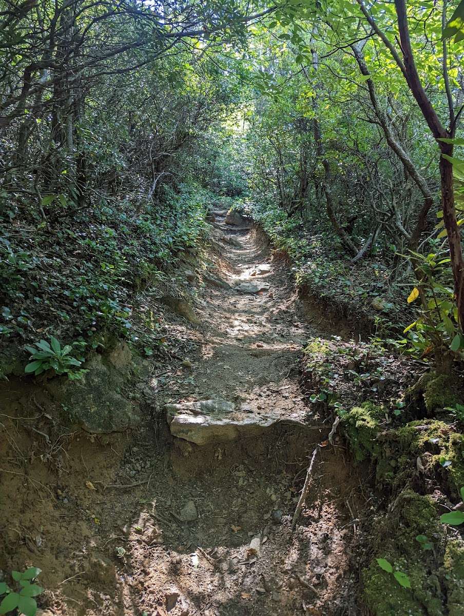
Took me about 9 hours for the out and back. I'm 59, in moderate shape. 12 miles, buggy, muddy, rocky, and rooty. The summit was fogged in. The best views are on the way up, around the 4 mile point, thanks to the power lines. In short it was a long brutal hike with little reward.

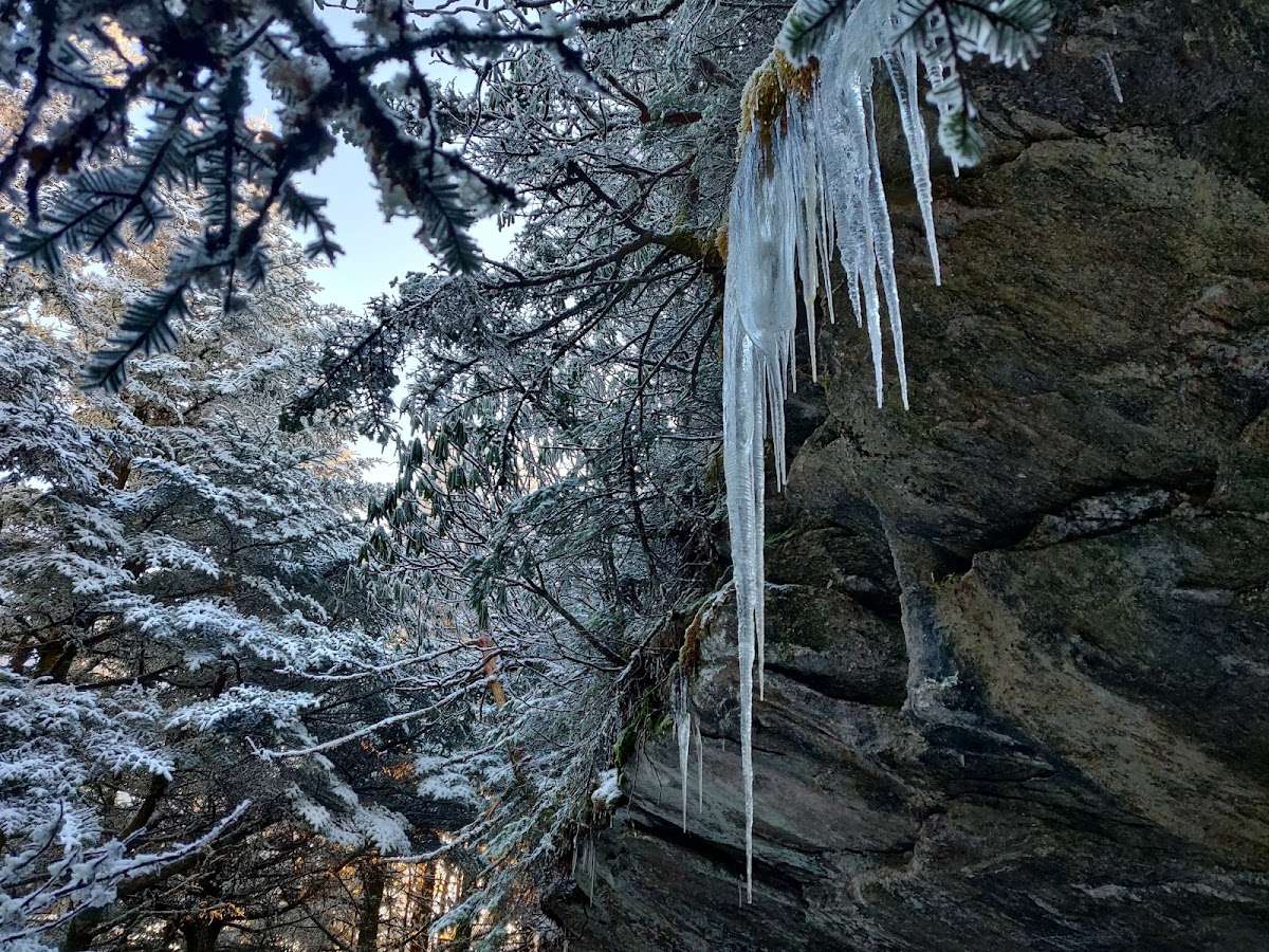
This is a difficult 6 miles almost uphill hike. The path is rough at times with lots of tree roots. There were warning signs for bears and wasps. The trail is marked by blue markers.

A proper hike. One of the few hikes on the east coast that actually slaps. Wonderfully technical.
This trail is better maintained than most national parks. Bravo.

Semi difficult hike, mainly due to terrain (uneven roots and rocks the whole way), roughly 7 miles up. Kind of a bummer that people can drive to the top, ruining the viewpoint at the end. Hike is worth it, various beautiful spots along the way and is an accomplishment (highest peak on the east coast). Three or so different types of environments as you hike from the base. Took us several hours to go up and back, with some time at the top.