


By:
Submission
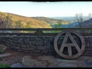
Located 6 miles north of Suches, Georgia on GA Hwy 60 and a short two-hour drive from Atlanta. From the Atlanta area - take GA 400 until it intersects Hwy 60. Turn left onto GA Hwy 60 and drive for about 25 miles until you arrive at the intersection of Hwy 60 and Grizzle Creek From the Blue Ridge area - take Hwy 60 south for about 25 miles until you come to the intersection of Hwy 60 and Grizzle Creek Road.


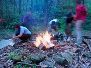
We did the Tabacco Trail, and we went using all trails as Wildcat Creek Loop Trail, it was Memorial weekend a lot of camper (very friendly) and a few dogs. We spend 4hrs through the forest, hiking and enjoying the view and waterfall.
The road to get to the camp area is rusty.

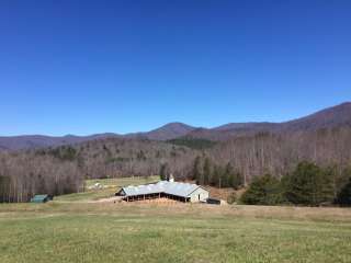
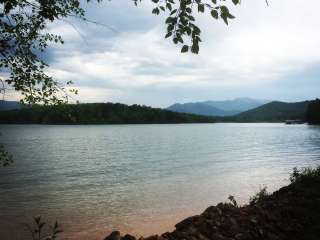
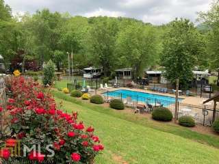
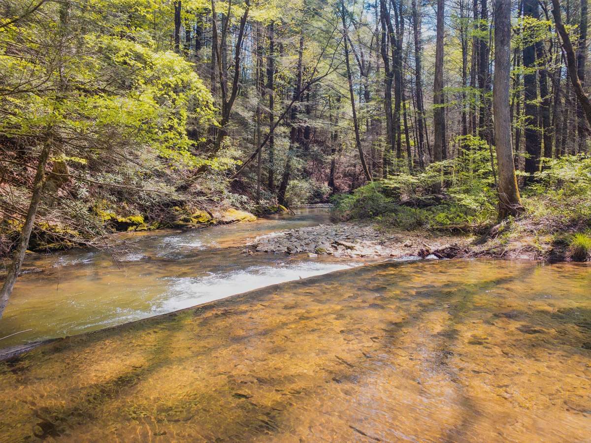
Great spot for hiking or camping. Parts of the trail run beside amicalola and wildcat Creeks. In the past I could navigate the road in my sedan, but not now. Several rough spots would be very difficult without a high clearance vehicle, 4 wheel drive preferable. This is a fee area so you need either a hunting license fishing license or a Georgia Lands pass.

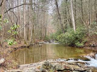
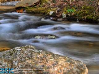
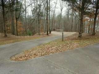
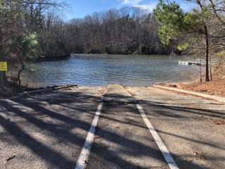
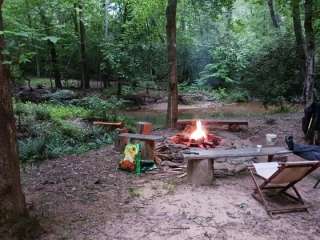
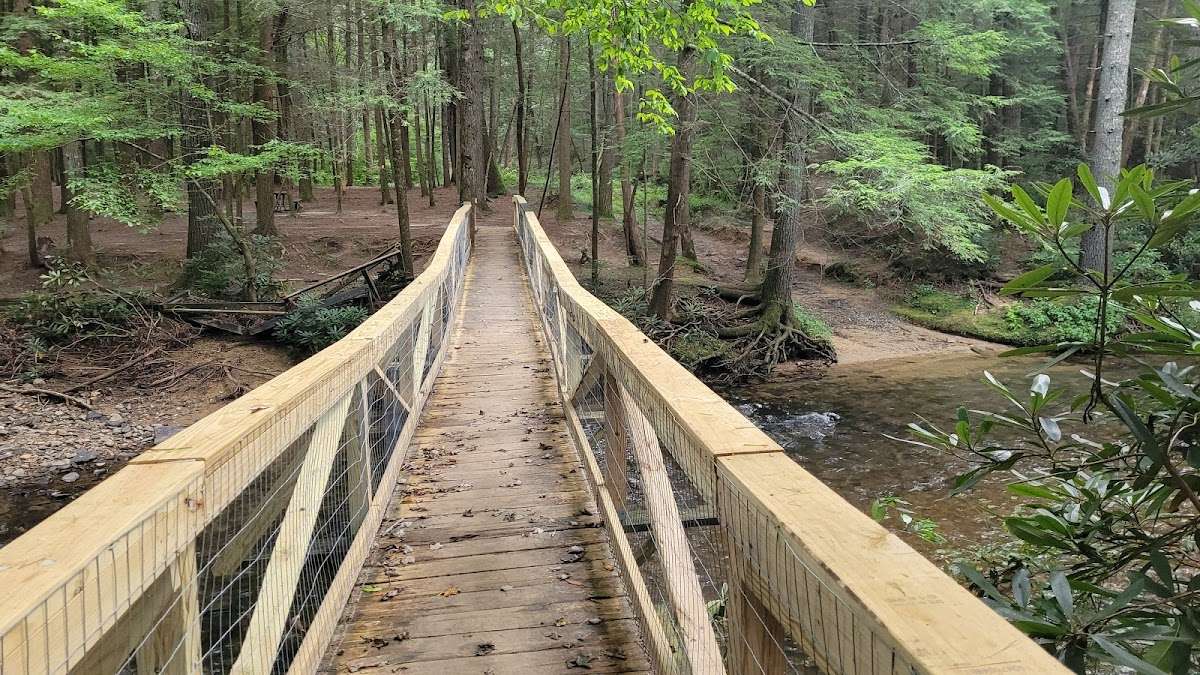
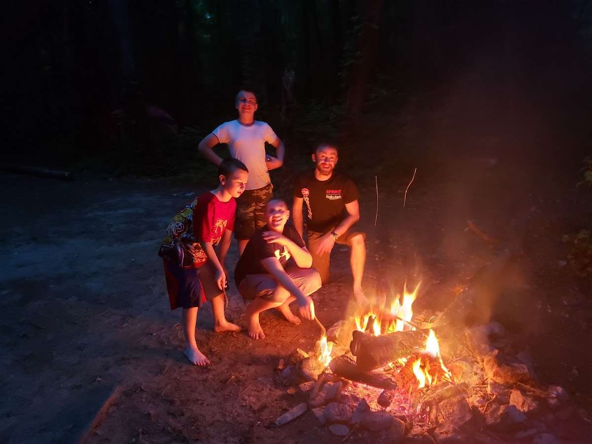
A spooky place to camp. There are many waterfalls in the area to see. The camping area is next to a creek and at the bottom of a hill. You can park at most of the sites and they have tables. Some of the camping sites are across a bridge. A long way away, uphill, is the monument road parking area. If ya want to hike to see the waterfalls it's best to start at the campground and then head uphill versus starting at monument road parking and going downhill. (Actually, it's shorter to go from Monument Road. I was just considering the time I hiked from wildcat campground all the way to monument road and back.) There are 3 or 4 waterfalls in the area, 3 along the road and one out this side trail. You will need a lands pass, fishing license or hunting license to be out here. The DNR website can sell you the license or go by a sporting goods store and buy one of them. It's easier to use online website for purchase. There is no kiosk to buy license at campground. Good place to go for a long hike. At the bottom of the hill is a footbridge that crosses the creek, this can be followed to a loop trail. Take a right at the next footbridge to return to parking area. Another footbridge is located passed the last camping site out in the woods. I don't remember if a sign is out there, just follow the path until ya see it. It will lead to an old road that goes by the waterfalls. A sign before the creek crossing with the ropes points to Falls Branch falls but when you follow it you come to a split in the trail, no signage to help out, right goes to Buice Falls, left to Falls Branch falls and beyond to the other falls. The DNR has still not fixed the road. Don't take your low-clearance car, park it and walk in the rest of the way. You can drive in most of the way but the last part is a roller coaster. Or, borrow your mean neighbor's car and go for it. So I went back out there in August 2023. I started at Monument Road and hiked south to the falls, it is shorter to get to Falls Branch Falls this way. I'd suggest getting a map. There is a blue trail that goes straight up or straight down depending on route. The signage out there is lacking but you will find your way. From monument road parking go down hill, take first left down hill, if you go straight that's the blue trail(notice double blue marks on tree), the red trail is off the blue trail. There is another sign at the bottom of the hill with the white trail mark and an arrow. Don't cross creek on old road, it just makes a circle in the woods. I guess it is about an hour and a half to the big falls from the parking area. You will hear them, then the trail takes a left downhill, then a little further another trail on right with no sign takes you there. The last picture is Falls Branch falls, the other is Buice Falls.

I purchased a fishing license so I could hike, but the signs stating the trail was closed (1 mile in) deterred me from completing the hike. The notice posted on the board said the trail is closed starting Nov 30, a few days from now, but the big red signs clearly state the trail is closed. I errored on the side of caution.