


By:
Submission
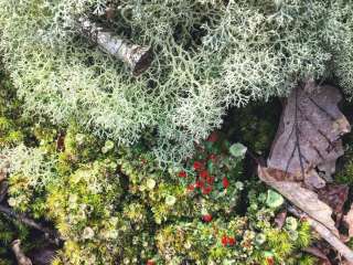
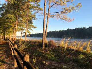
Trail 206 snakes through a variety of terrain and passes by two of the Wilderness' better natural attractions – the rock formations known as Eye of the Needle and Ship Rock. Wildflowers adorn the creek-side portions of the trail during the spring. The low-lying sections along Thompson Creek and adjoining Whiteoak Hollow are popular camping areas.


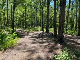
Great little walk in the woods. Mostly level walking that follows the creek half the time. Not for strollers. No cell service so go prepared. 3miles out..3miles back. Total 6mile walk. Take plenty of water and some snacks or lunch. Park before the steel bridge and trail 206 is to the right after you cross the bridge. Stay right and follow the trail along the creek. You will cross a small stream maybe 10ft wide to stay on trail to the right. So wear some shoes/boots you don't mind getting a little wet. Its not deep, maybe a few inches. Might be dryer in the summer time. Someone cut a small tree and we shuttled across it. When you come to the horseshoe shaped bend in the creek go left up to the small waterfall. It makes a circle back down to the bend. You can continue the trail to the left which takes you to 209 or head back.

Excellent hiking conditions 2/09/20. After a heavy rain is the best time to hit some trails in Sipsey. 206 & 209 were a little muddy in spots, but not horrible. All the muddy spots and creek crossings were easy to negotiate. I made it from Thompson Creek to Bee Branch and back without my feet getting wet

This is specifically for the Thompson creek trailhead. Other trailheads may be different at different times. First, do NOT take your BMW sedan to this trailhead. I made it in and out but could easily have damaged things. You don't need a lot of ground clearance but I did not have enough at times. I expected 1/2 mile...maybe one mile of dirt roads. Coming from the north (mt. Hope), it turned into a single lane dirt road 10 miles from the trailhead. Most of the road is good but there are deep holes and ruts in spots. It's not a negative... Just something to be aware of. Parking was plentiful for the three cars that were there.
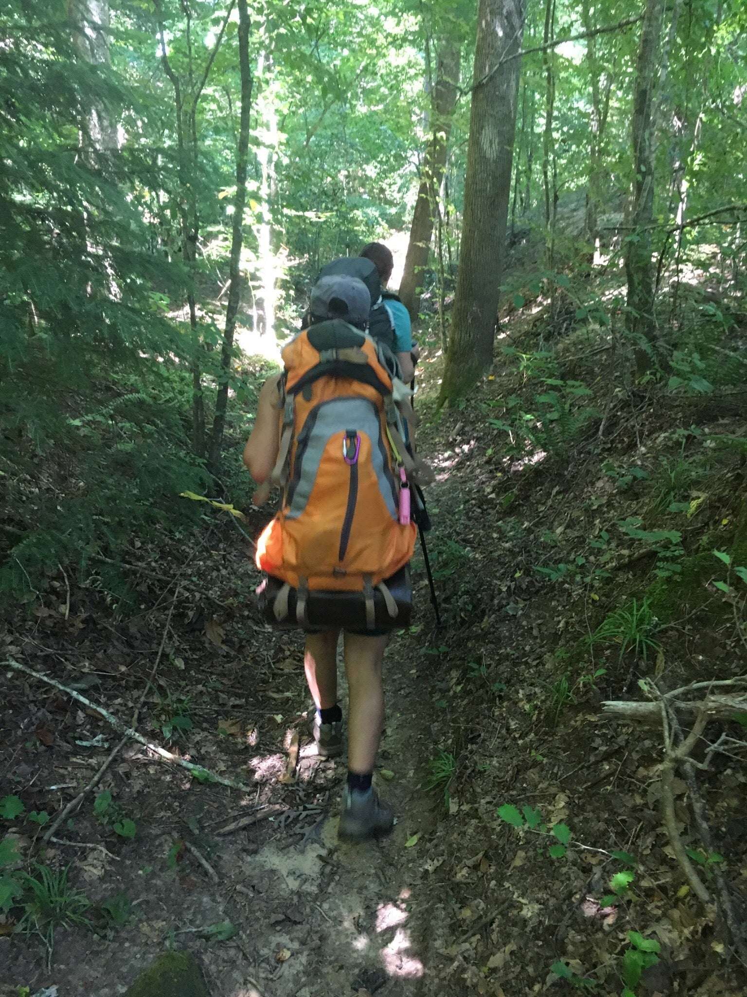
Our plan was to take 206 south to 209 and head east. At bee branch canyon, we would head north on 204a and pick up the horse trails back to the trailhead. Roughly a 10 mile day hike. Ship rock and the big tree were the planned things to see. Trails were worn well but only sparsely marked. We ended up on some alternate paths but stayed mainly on course with my downloaded maps and gps. 204a appeared to lead us into a box canyon at the big tree. There were a couple potential paths out but none feasible with a large dog. 204 seems to be a better bet if you want a loop but we had no regrets with the path we took. With no apparent path out, diminishing light and thunder rumbling though the canyon, we opted to retrace our steps back to the trailhead. Total time for the 11-12 miles was 5.5 hours. This included several stops. Some areas are difficult with short steep climbs or logs to hurdle over/duck under. You need to be in reasonable shape.
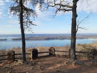
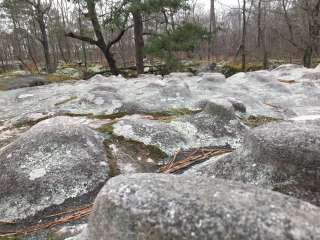
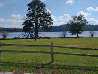
The scenery is beautiful. No doubt, this is one of the hidden jewels of Alabama. Ship rock/eye of the needle wasn't terribly impressive and we weren't sure why it was marked on Google maps. The canyon is littered with more massive and interesting boulders. We found one with a large tree growing through it and one that looked like a dragon head (see pictures). The big tree was impressive as well as that whole general area.
Things to know:
Dirt road in takes a little longer.
Bring lots of water/food.
No cell service... It's wilderness. Tell someone where you are going and when you expect to be back.
Enjoy the scenery... It is amazing.

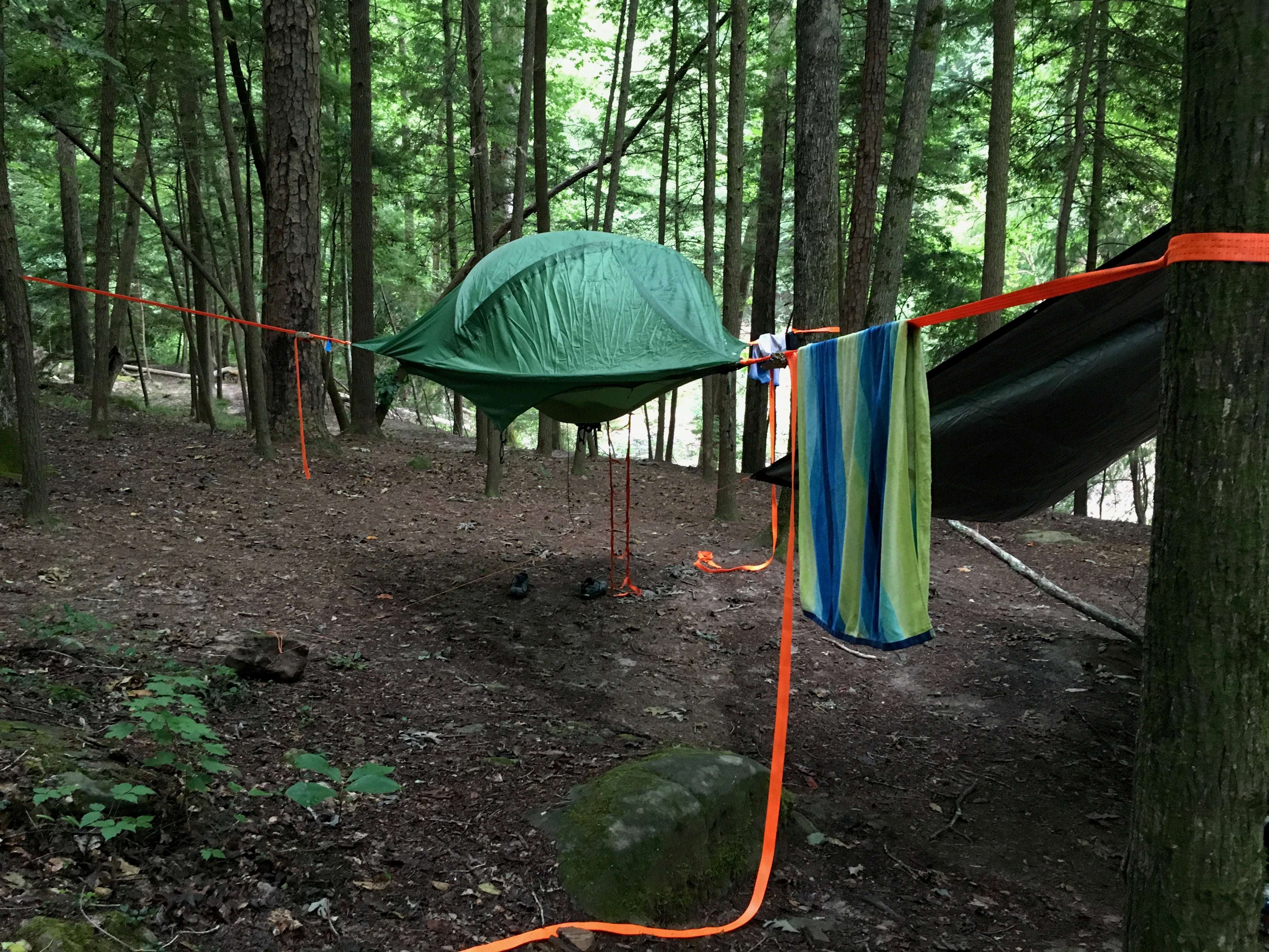
This place is beautiful, we did a 5 day four night backpacking trip. I suggest you be in shape and have someone who knows the area. I ordered a map from USGS just to be safe. We got rain for a day and a half but we were well prepared. No phone signal for miles. Be prepared

There has been a strong storm several months ago in this area and many of the trails have huge tree falls blocking them. If you want to hike here be prepared to crawl over some serious blockage. We decided not to hike any of the trails at this time.