By:
Submission
Summersville Lake Shelters are conveniently located just south of Summersville, West Virginia, on the shores of the largest lake in the state.
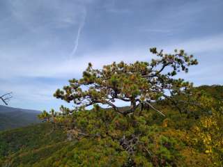
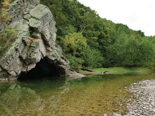
Superb water quality and sheer sandstone cliffs make Summersville Lake a popular destination for outdoor enthusiasts.
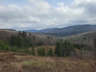
Scenic Summersville Lake is known for its striking cliffs and quiet coves along 60 beautiful miles of shoreline. Dense forests of maple, oak, hickory, beech and birch trees cover the region.
Wildlife, including black bear, deer, grouse and turkey, is abundant in the area.
The 2700-acre lake provides excellent boating, water skiing, swimming and scuba diving.
Anglers will find large and smallmouth bass, walleye, panfish, and catfish. Trout are stocked below the dam in spring and fall.
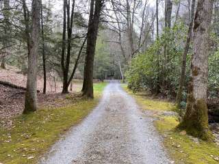
Visitors also enjoy the great hiking, biking, hunting and picnicking opportunities on the lands surrounding the lake.
Whitewater rafting is available year-round on the world class Gauley River. The Summersville Lake area also offers technical rock climbing.
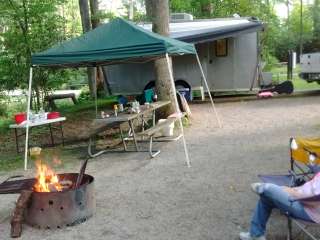
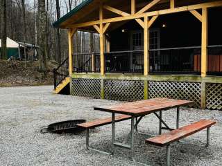
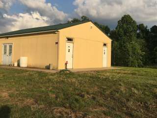
This day-use area has four large group picnic shelters, offering an ideal retreat for parties or family functions. Amenities include flush toilets and drinking water.
The historic Carnifex Ferry Battlefield State Park is a 10-minute drive from the campground. The park offers a museum, three Gauley River overlooks and hiking trails.
Summersville Lake Marina and Sarges Dive Shop are 11 miles away, offering kayak and pontoon boat rentals. The town of Summersville, another five miles north, has several grocery stores, restaurants and service stations.
From Summersville. West Virginia, take Highway 19 south for 5 miles to the campground.


Great swing on site with a selfie stand in front. Take a swing and sing a song.

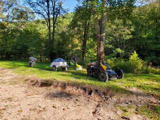
Map location on Google is wrong and I’ll submit a correction. We guessed that it would be located up the road to the right (south)that leads to Pirate Cove and we were right. The “Almost Heaven” swing is at the top of a cleared area and 12 picnic tables up there off to the side in shade, just above the parking area. Much work going on bulldozing what looks like more parking and trails. You can follow a new gravel trail down to the older trail that leads down to the rock climbing area in Pirate Cove (follow the light blue blazes then the navy trail flags) or take the right fork and go up to the bluff overlooking the cove. It’s looking great and will be getting better soon…they are working on it! (No toilets yet)