
By:
Submission
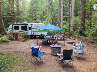
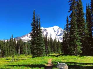
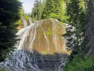
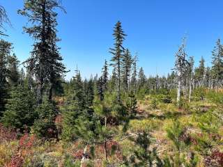
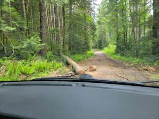
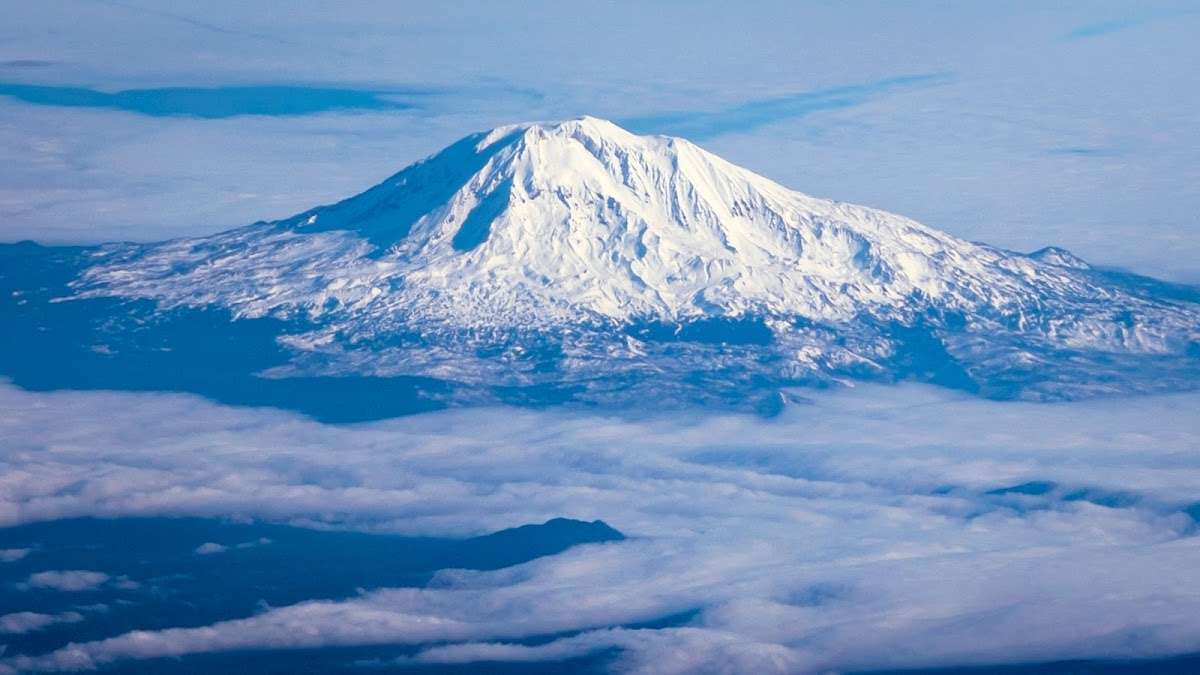
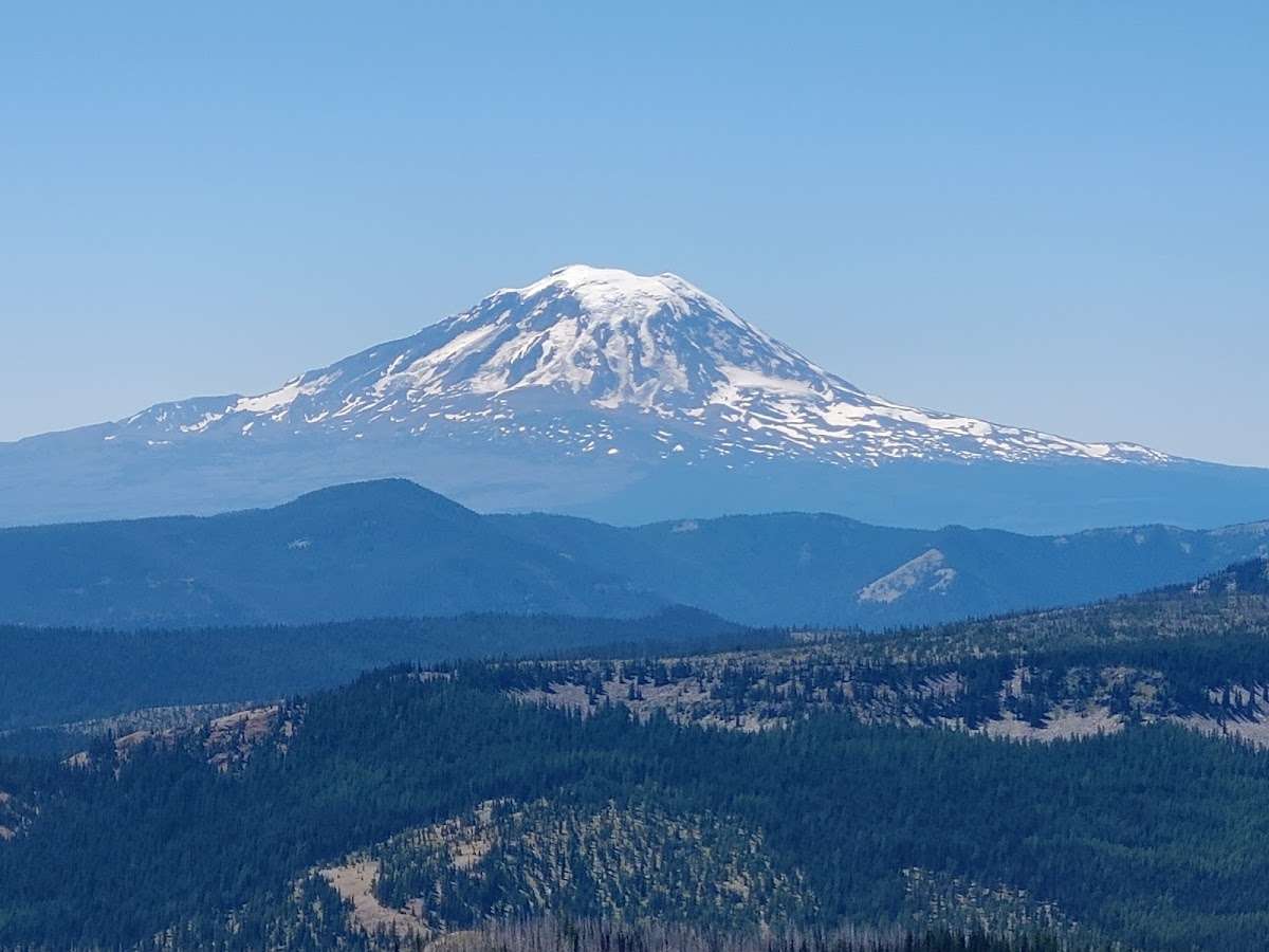
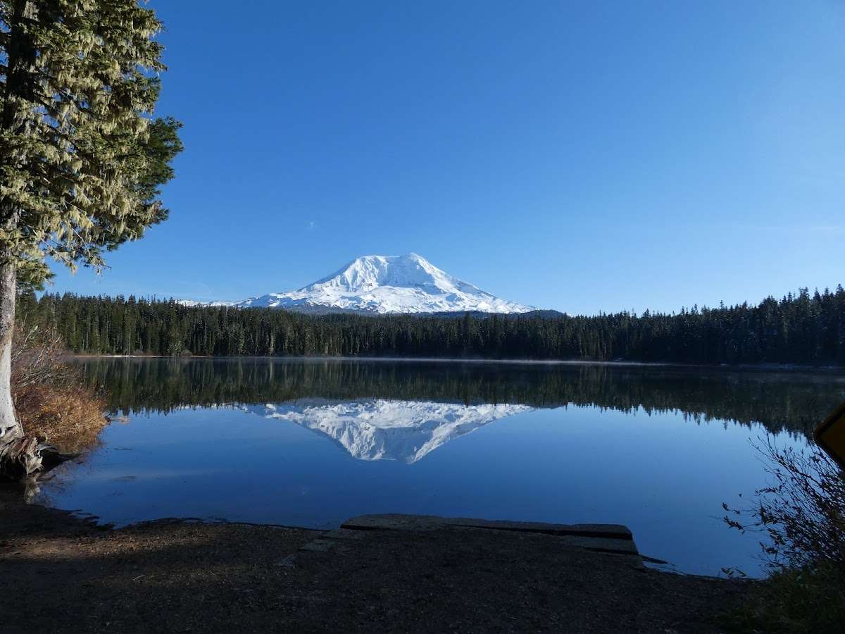
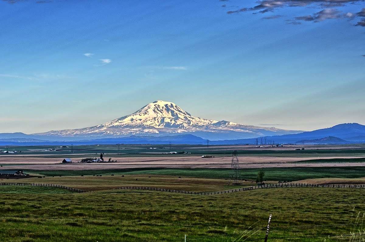
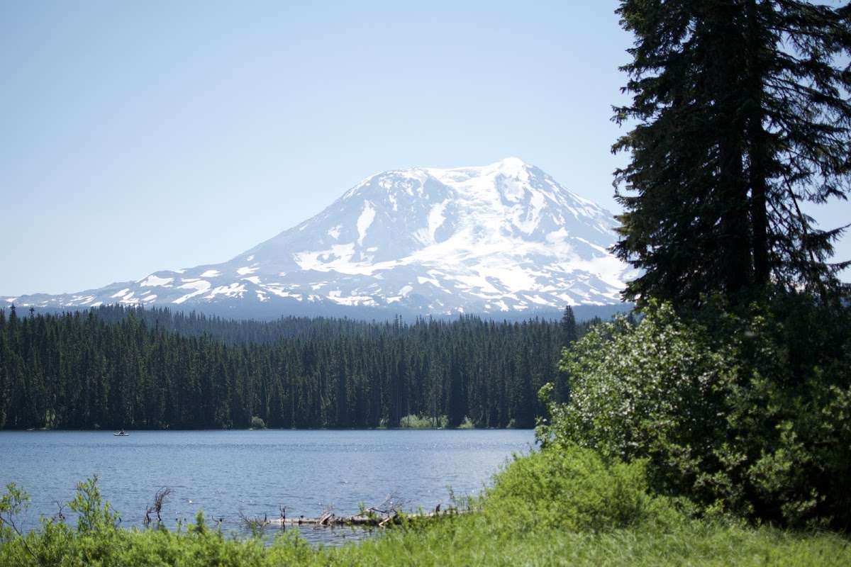
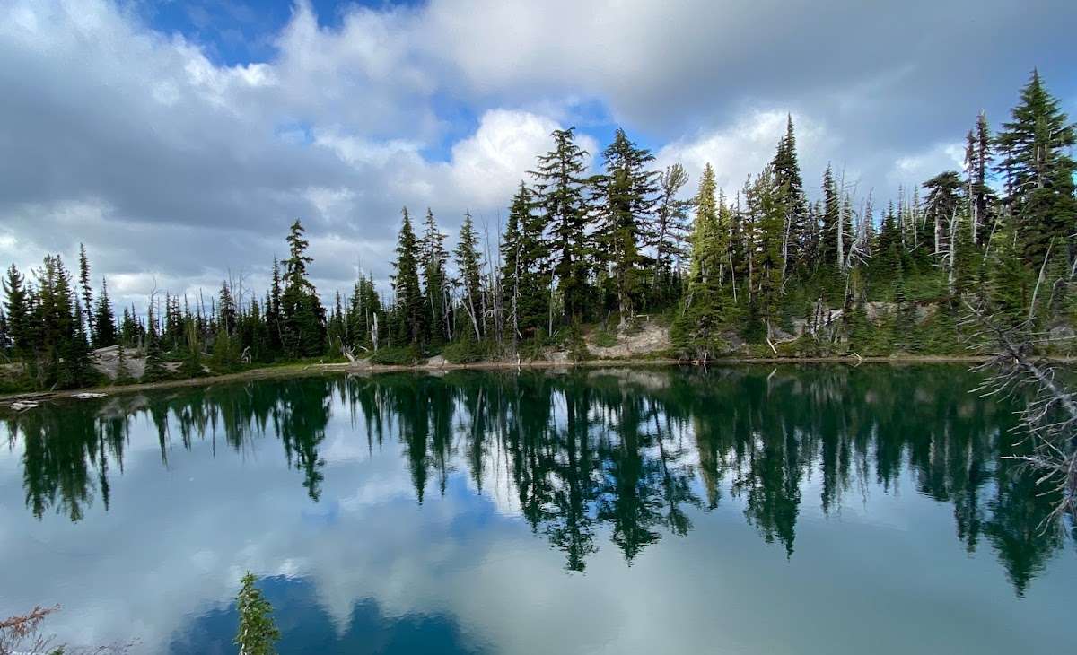
The Mt. Adams area is administrered by the Mt Adams Ranger District. This area is located in the eastern portions of Gifford Pinchot National Forest in southwest Washington, and comprises 367,000 acres. This area includes Mt. Adams Wilderness, Indian Heaven Wilderness and Trapper Creek Wilderness. Mt. Adams is a prominent landmark in the area. Elevations here range between 1200 feet at the Wind River Work Center, 12 miles north of Carson, WA., and 12,276 feet at the summit of Mt. Adams. Precipitation varies from 70.7 inches of rain and 65.1 inches of snow at the Wind River Work Center and 44.1 inches of rain and 95.7 inches of snow at the Mt. Adams Ranger District office in Trout Lake, WA. The area features a great diversity of habitats and features, from old growth to second growth forest, wetland areas, low and high elevation meadows, glaciers, and low and high elevation lakes. Locations on and off the forest to explore Forest Vicinity Map Mount Adams Climbing Conditions Report Recreation Conditions Report
Mt Adams Ranger Station: 2455 Hwy 141 Trout Lake, WA 98650 District Ranger: Emily Platt Phone: (509) 395 3402 Directions: At Bingen, WA., take Hwy 141 north 25 miles to Trout Lake, WA. Continue on Hwy 141 through Trout Lake, one mile , and you will see the sign for the Mt. Adams Ranger District.


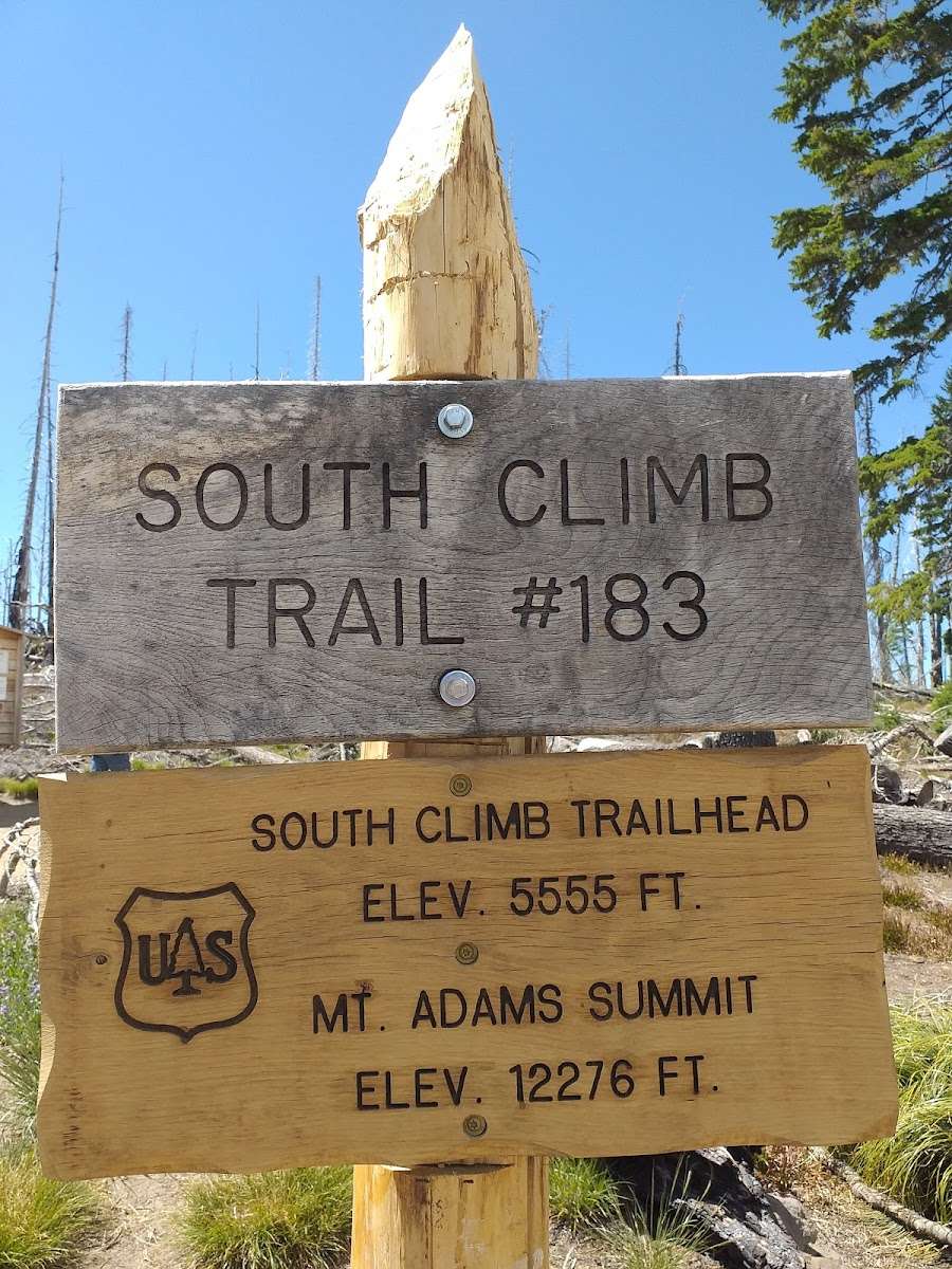
12 miles round trip, 6700 feet of elevation gain with the South climb trail. Out of all the mountains I have done, this was one of the hardest. I did the hike in July and the last mile was sheer torture due to the extreme steepness of the climb. The snow didn't help as I had no snow equipment and I was wearing shorts, however with a lot of breaks, I made it to the top. Of course, with the snow covering the paths, we weren't following switchbacks if there were any, we were basically climbing the slope. At the top though, after having finally recovered, the views were fantastic. The way down was much more fun sliding.....

This was the first time that I’ve ever climbed a mountain that size and on the first try I was able to make it all the way to the top. The view was awesome but I think it depends on the weather (we had really good weather). Also there are no real trails and if you want to climb all the way to the top make sure that you have good shoes because you have to walk on stones which was kind of a problem for me.

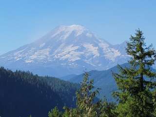
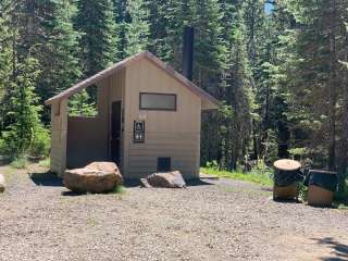
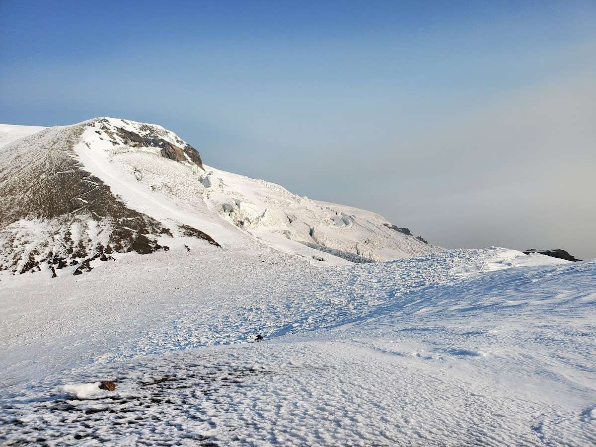
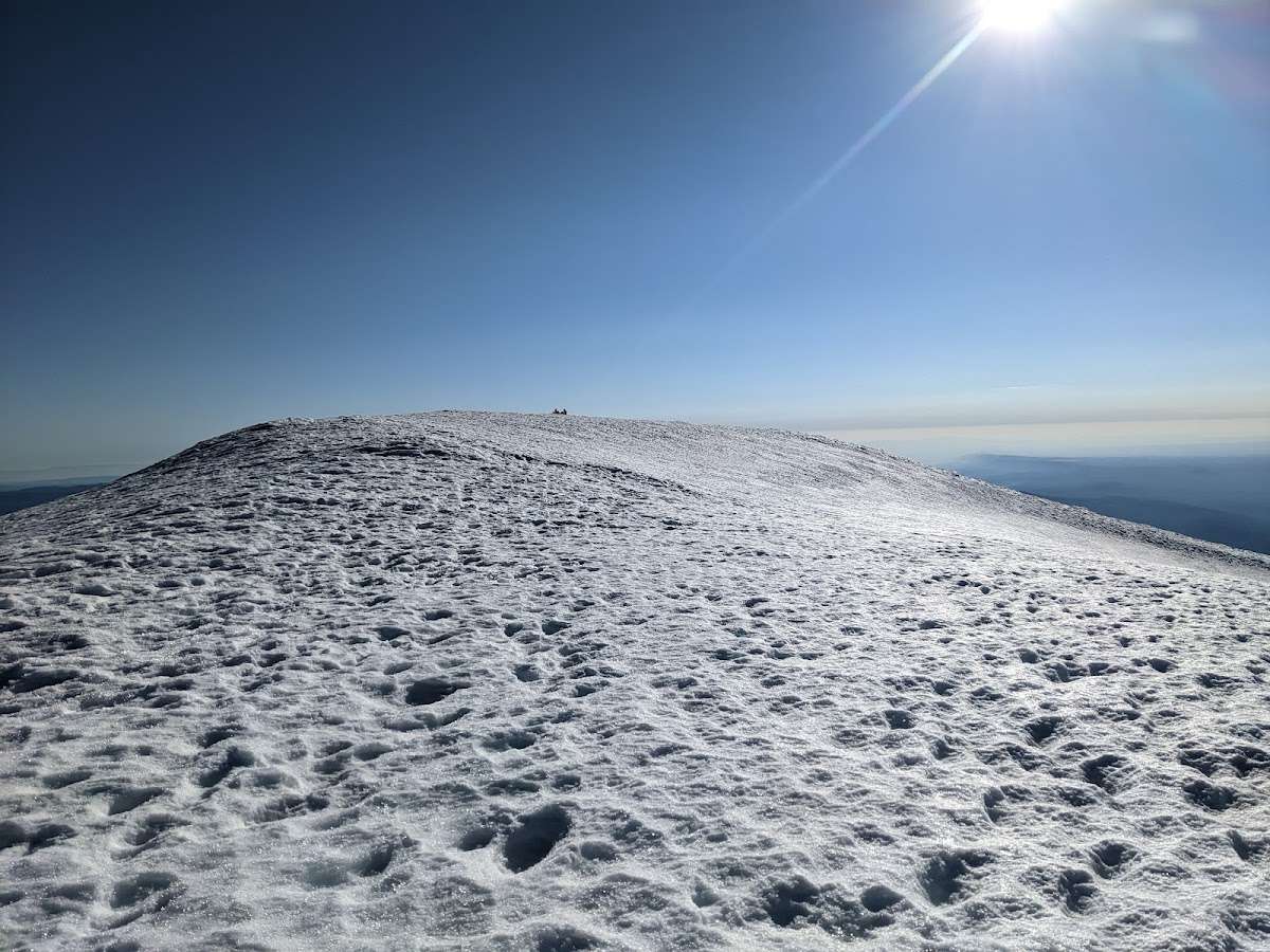
Depending on how much snow on the peak, in early season with all the snow, the summit cabin is all buried in the snow. At late season, you can see partial structure. This is the icon of Mt. Adams summit. Mt. Adams is a vocano, that means the summit is a big field of flat crater. You can see Mt. Rainier, Mt. St. Helens, Mt, Hood, and Mt. Jefferson. Great summit view.

For a day hike, Suksdorf Ridge on the south side is the best option. Use proper gear and be physically fit before attempting it. If you want a breathtaking view of the town lights and the Milky Way, climbing at night provides the experience. Don't forget to obtain your summit permit in advance.

Mount Adams, known by some Native American tribes as Pahto or Klickitat, is the second tallest peak in Washington, standing at 12,281ft.
I started the expedition to the summit on Friday May 19 at 7PM and finished on Saturday May 20 at 4PM. The trip took about 21 hours total. At this time, the access road was still snow-packed, so I had to park several miles from the South Climb trailhead at around 4,500 ft. With that said, the sun seemed to be actively melting the snow during the day.
I left the parking lot at 7PM and walked about 10 miles up to 7,900 ft. At around 2 AM, I noticed a significant lighting storm + some potential UFO activity higher up on the mountain and decided to rest on some lava rocks until 4 AM. I resumed my journey and arrived at the "lunch counter" area around 6 AM, as the sun was rising. The "lunch counter" is a lava rock field at approximately 9,500 ft, which is a good spot to rest and have a snack.
From there, I continued up the mountain to Pikers Peak around 11,600 ft. This was another good spot to take a break before ascending to the true summit at 12,381 ft. I spent roughly 15 minutes at the summit before descending down the mountain. The weather made for some good glissading conditions. There were nice opportunities to glissade from the true summit and from Pikers Peak.
Although I ended up glissading a bit too far down the western face of the mountain, this made for an awesome and exhausting experience. I had to hike through some wilderness and do some rogue climbing to get back on to the path around the South Climb trailhead and access road.
On Saturday, I clocked about 22 miles of hiking, and according to my Apple Health data, the total distance of the hike was roughly 32 miles over the course of two days.
Even with the challenging weather conditions and the long distance of the hike, climbing Mount Adams was an amazing experience!