Wing Mountain Dispersed Camping

  • $0.00 /night
  • (4.0)5 reviews

Contact Info

Camping Style

Backpacker
Cabin
Other Camping
RV Camping
Tent Camping
Trailer Camping

About Campground

Looking for a camping spot in the woods with easy access to some of the Flagstaff area's fantastic trails and recreation opportunities along US 180? The Wing Mountain area southwest of the San Francisco Peaks offers fantastic dispersed camping along Forest Roads (FRs) 222 and 171, suitable for tents, campers, and recreational vehicles. Wing Mountain is a prominent cinder cone volcano located approximately six miles southwest of the San Francisco Peaks, rising to an elevation of 8,560 feet. The mountain is surrounded by ponderosa pine forest on fairly level terrain at approximately 7,600 feet. * **FR 222 and FR 171:** Easy to navigate, with fairly smooth, wide dirt roads offering areas where you may pull your vehicle and rig up to 300 feet off the road (refered to as "camping corridors" on the Motor Vehicle Use Map). * **Western end of FR 222A (between FR 171 and FR 519):** Easy to navigate and offers areas suitable for everything from tents to recreational vehicles. * **Northern end of FR 222A (near FR 222) and western end of FR 9001P (near FR 171):** These roads are narrower and rougher, and more suited to tent or small trailer camping. # Nearby Attractions and Activities Distances and estimated driving times from the junction of US 180 and Forest Road 222: * [ **Arizona Snowbowl**](https://www.snowbowl.ski/): 8 miles, 16 minutes * [ **Humphreys**](/recarea/coconino/recarea/?recid=55108), [**Aspen Loop**](/recarea/coconino/recarea/?recid=55064), **and** [**Kachina**](/recarea/coconino/recarea/?recid=55112) **trailheads (at the Snowbowl)** : 8 miles, 16 minutes * [ **Kendrick Park Watchable Wildlife Trail**](/recarea/coconino/recarea/?recid=75181): 11.5 miles, 13 minutes * [ **Bismarck Lake Trail**](/recarea/coconino/recarea/?recid=55068): 13.5 miles, 22 minutes * [ **Arizona Nordic Village**](https://www.arizonanordicvillage.com/): 7.8 miles, 10 minutes * [ **Red Mountain Trail**](/recarea/coconino/recarea/?recid=55160): 23 miles, 27 minutes * [ **Slate Mountain Trail**](/recarea/coconino/recarea/?recid=55180): 24 miles, 40 minutes * [ **Lava River Cave**](/recarea/coconino/recarea/?recid=55122&actid;=102): 10.5 miles, 20 (via FR 245) to 30 minutes (via FR 222) Hover mouse cursor over image to display slideshow controls. [](https://www.flickr.com/photos/coconinonationalforest/albums/72157684861617952 "Camping: Wing Mountain Dispersed Camping Area") [View album on Flicker](https://www.flickr.com/photos/coconinonationalforest/albums/72157684861617952)

Directions

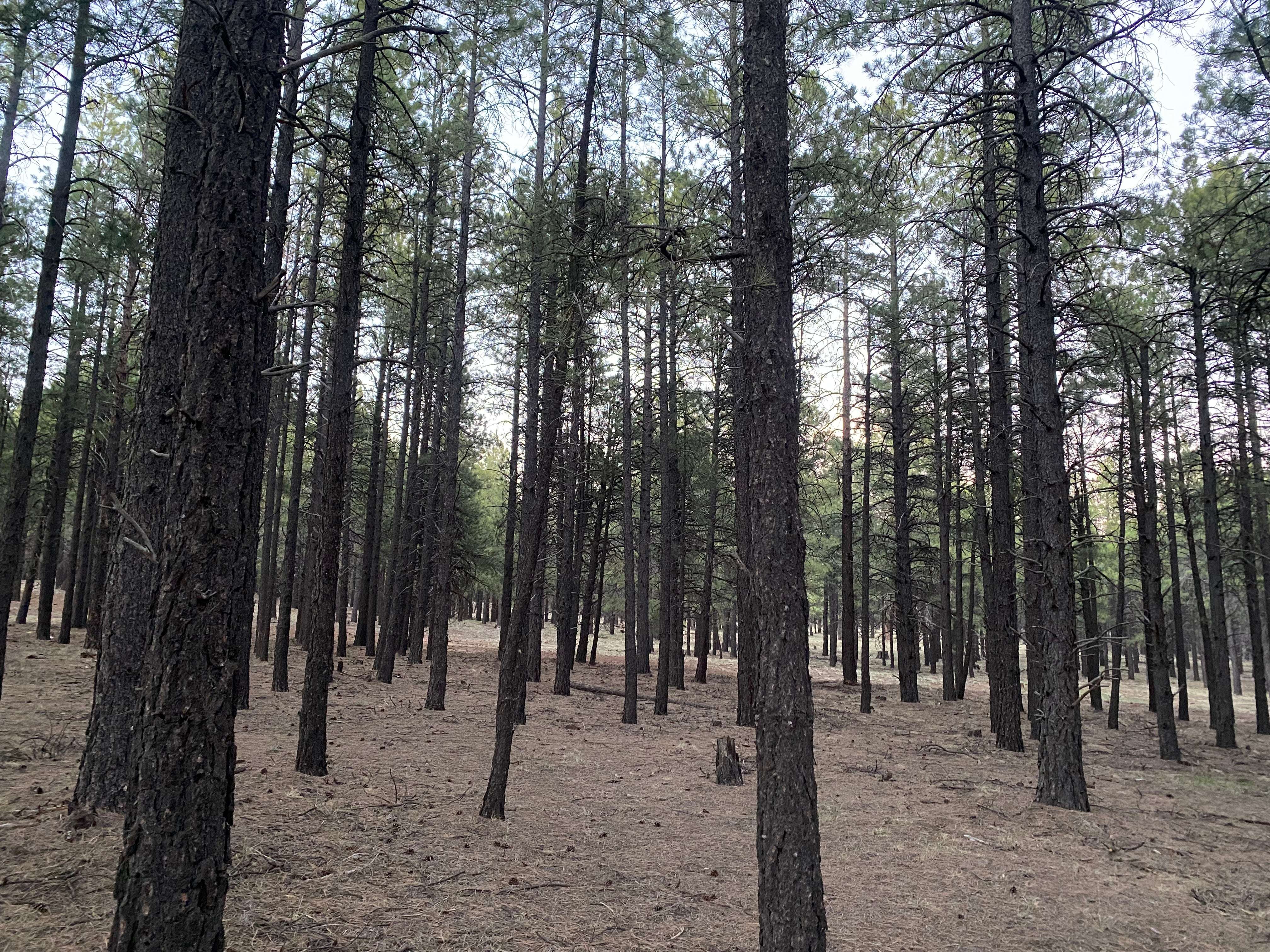
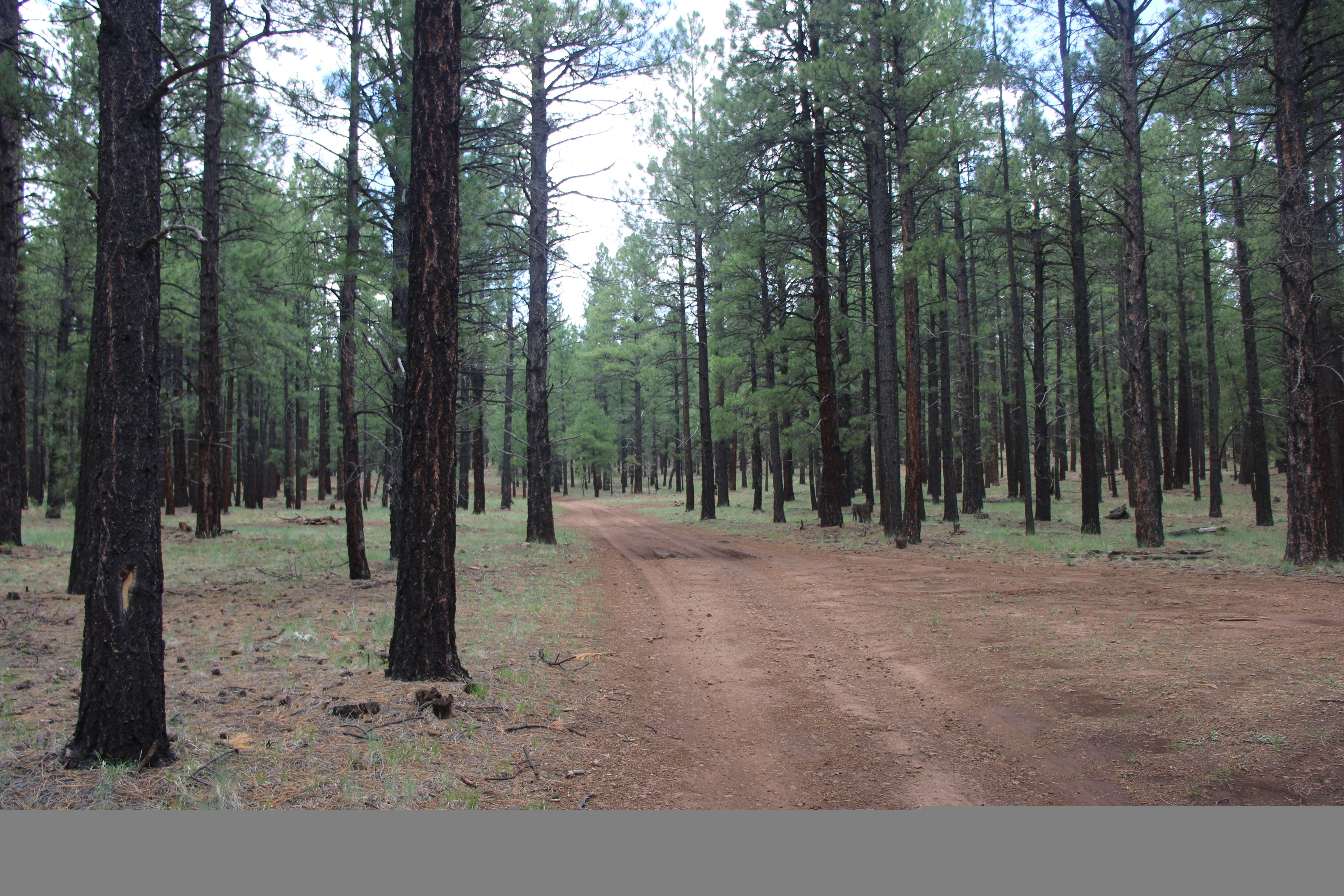
* **Flagstaff to Forest Road 222 via US 180 ([ **map**](https://goo.gl/maps/q6imv3TAy8G2)):** Drive north on US 180 for 8.7 miles. Turn left on FR 222 (1.3 miles past Snowbowl Road). The dispersed camping area begins here and extends most of FR 222 (6.5 miles), and along FR 171 between FR 222 and FR 222A (to the south).

* **Flagstaff to Forest Road 171 via I-40 ([ **map**](https://goo.gl/maps/VvZkuBRbFcq)):** Drive east on I-40 for 10 miles from the I-17/I-40 interchange. Take exit 185 toward Belmont. Turn right onto Transwestern Road, then left on Brannigan Park Road. Drive for 0.8 miles and turn right onto Forest Road 171. Drive 1.1 mile to the southern end of the dispersed camping area at the junction of FR 171 and FR 222A. The dispersed camping area extends up FR 171 for two miles to FR 222, and most of the lenghth of FR 222.

There are also additional dispersed camping corridors along FR 171 north of FR 222 in the Lava River Cave area.

**Click on map thumbnail to open a larger view in a new window** [PDF, 4.2 MB]:

[](http://www.fs.usda.gov/Internet/FSE_DOCUMENTS/fseprd557745.pdf)

Access

Drive-in
Walk-in

Accommodations

Dispersed

Features

Free

Essentials

Alcohol Allowed
Fires Allowed
Mobile Service
Pets Allowed

Location Map

More Details

Featured Videos


Reviews Ratings

Average ratings

4.0

5 Reviews
5
3
4
1
3
0
2
0
1
1
Showing 1 - 5 of 5 Reviews
more_vert

Scott Brand

3 years ago
1/5

Was disappointed by the lack of wings

Helpful
0
Comments
0
more_vert

Buckwild Arizona

10 months ago
5/5

Perfect camping spot in Arizona!

Helpful
0
Comments
0
more_vert

Rahul Kumar

8 months ago
5/5

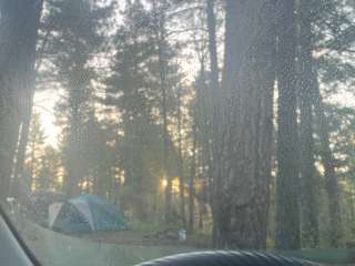
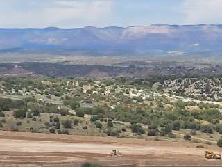
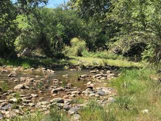
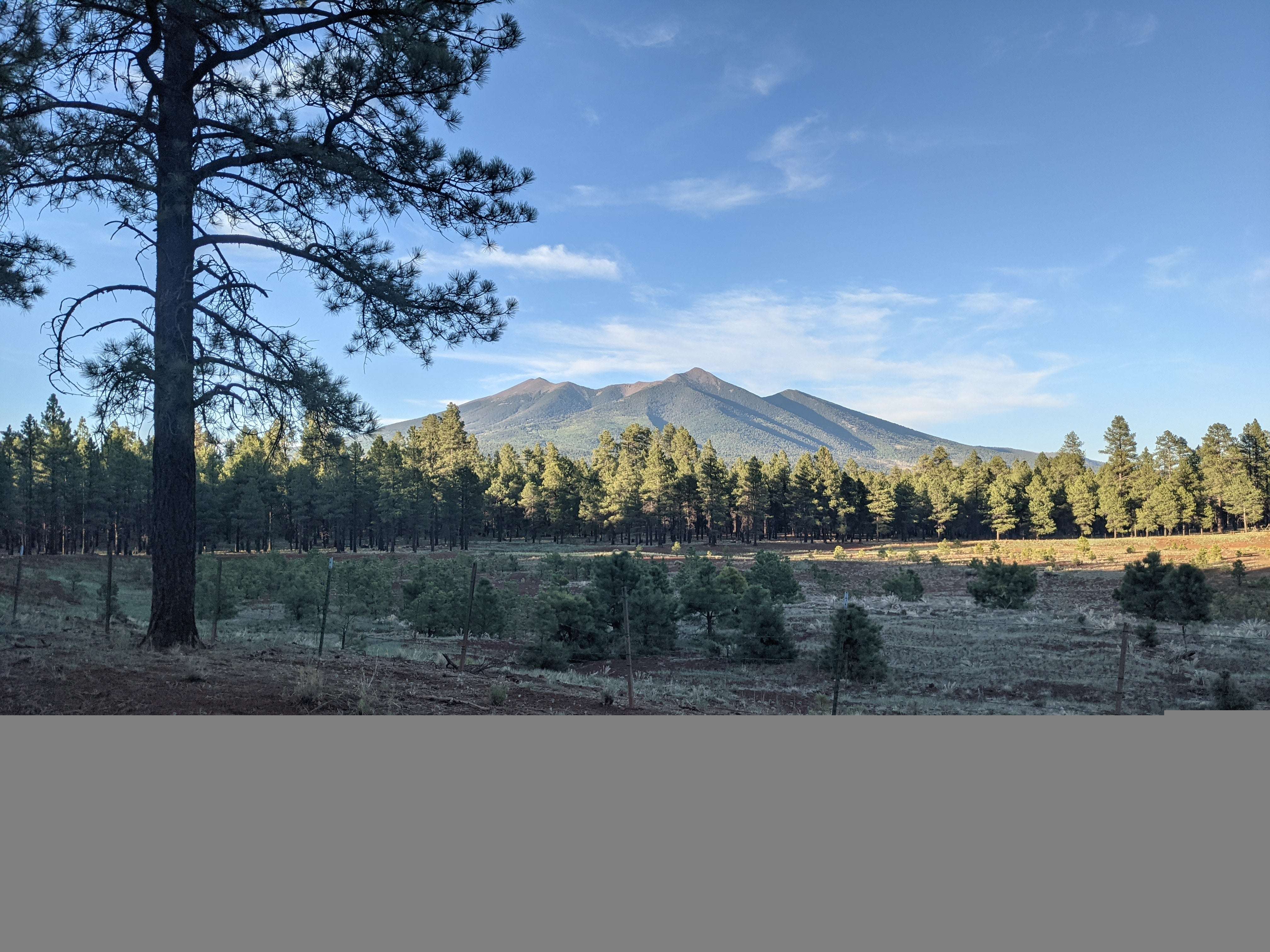
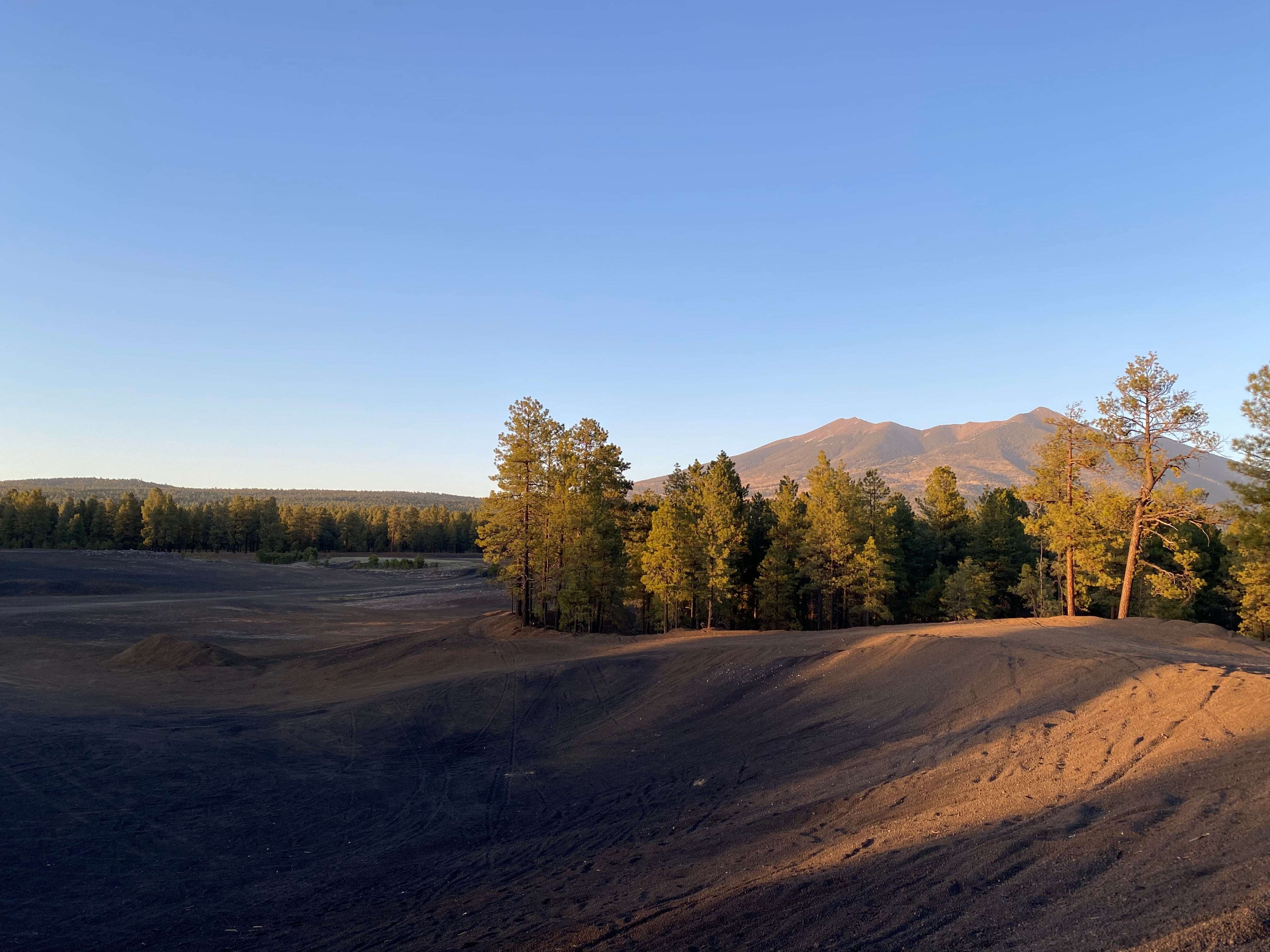
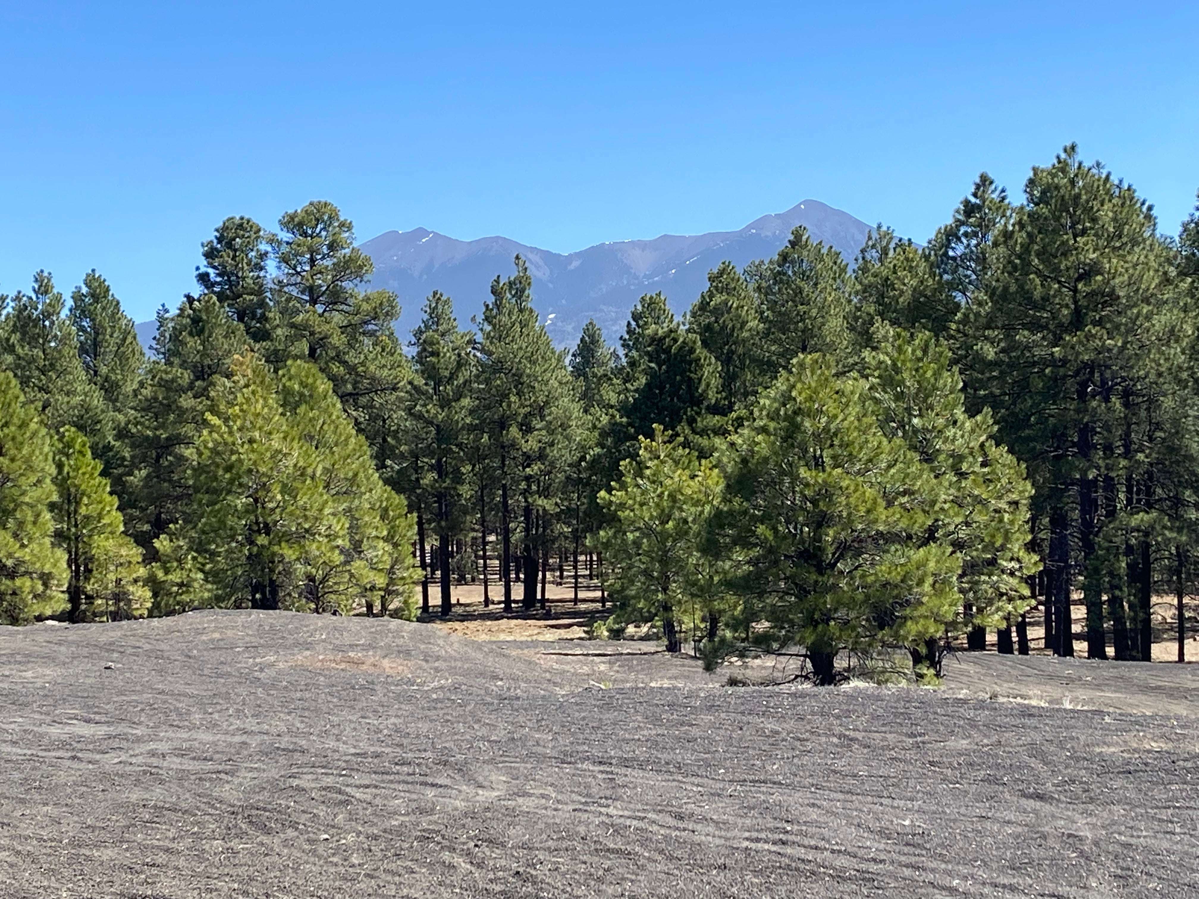
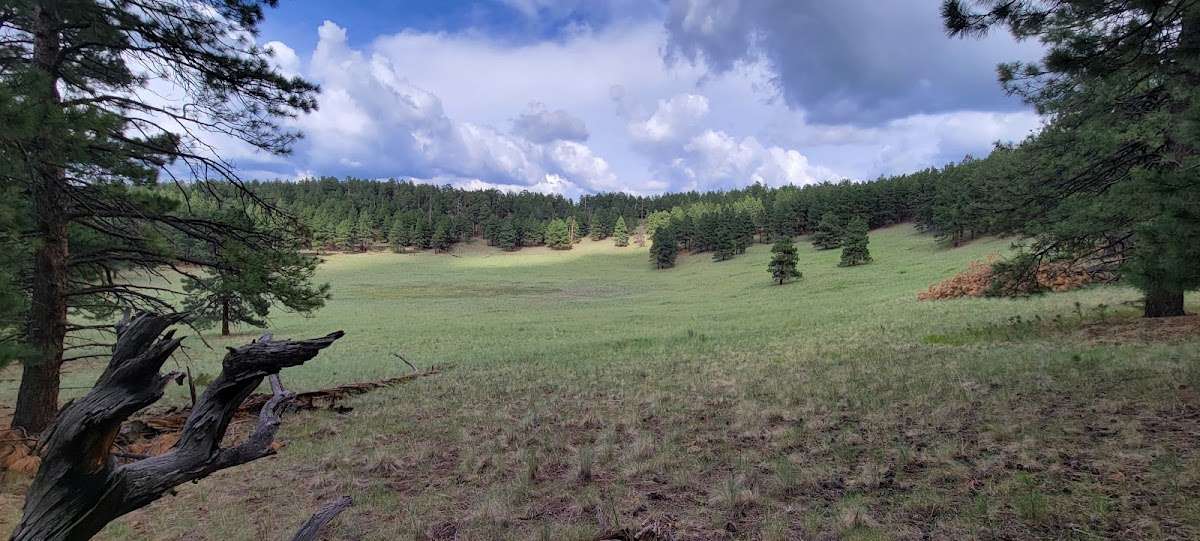
Lovely place in Arizona completely changed landscapes as soon as you reach here from Phoenix

Helpful
0
Comments
0
more_vert

David Croasmun

3 years ago
5/5

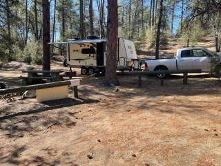
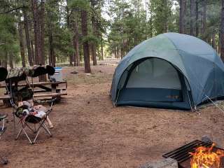
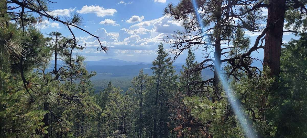
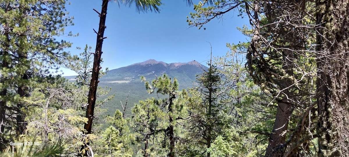
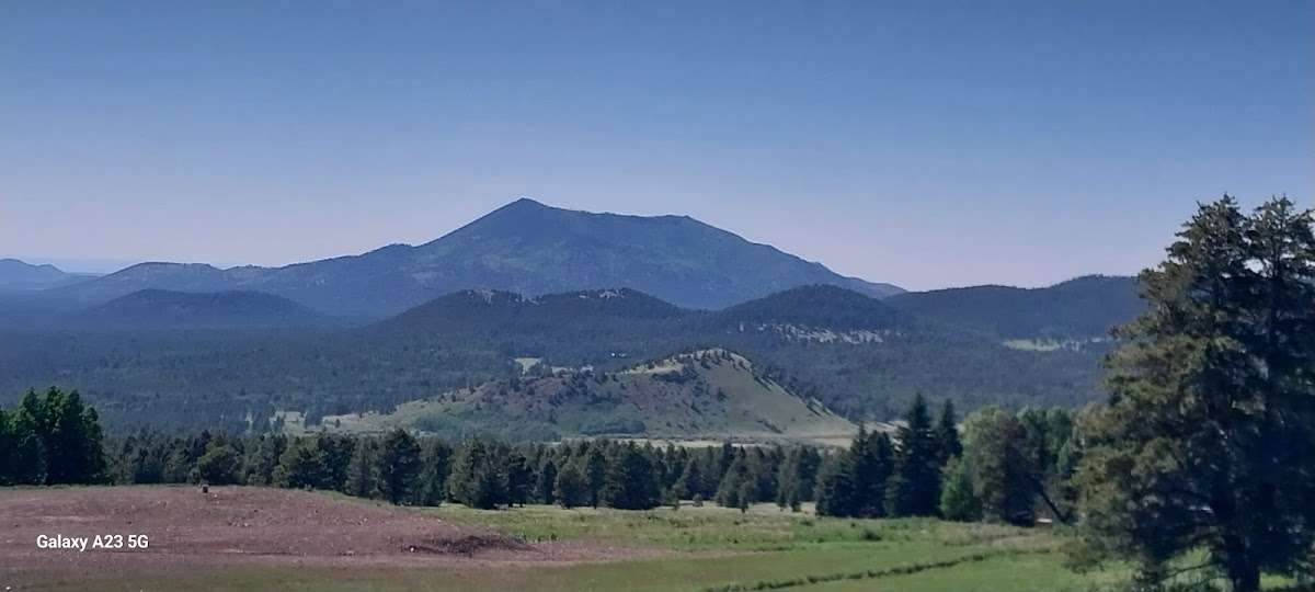
Nice camping spots! For mountain bikers, nice trail along side of mountain.

Helpful
0
Comments
0
more_vert

Mr and Mrs Stallings

2 years ago
4/5

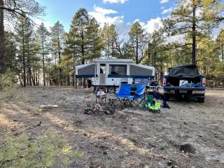
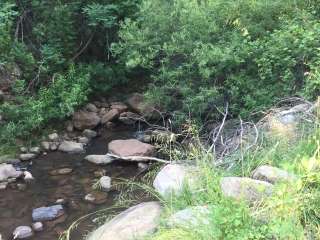
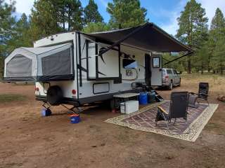
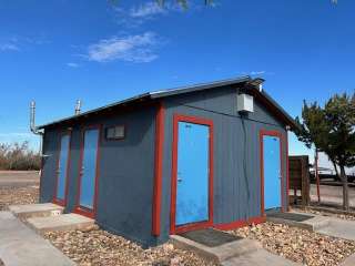
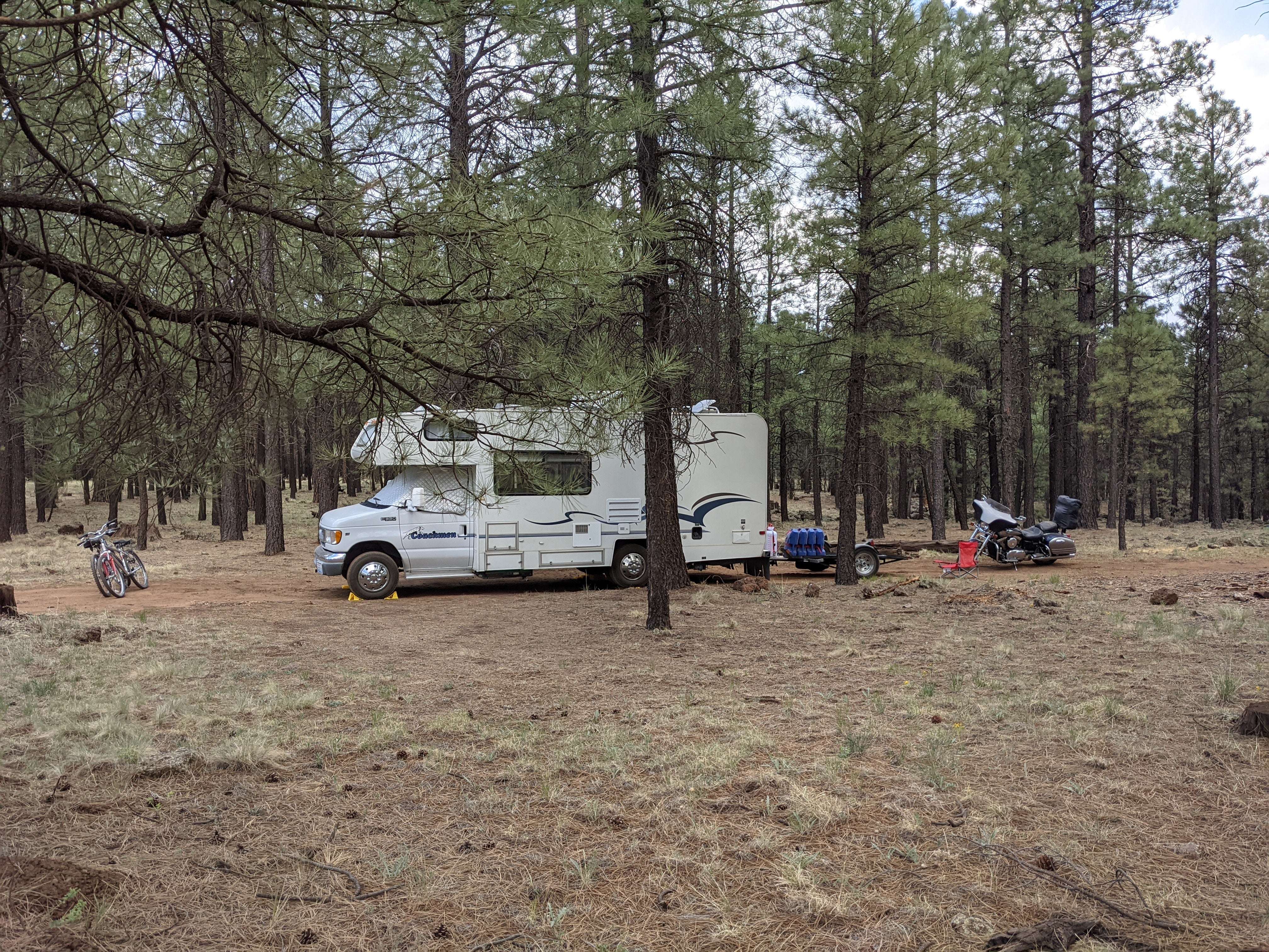
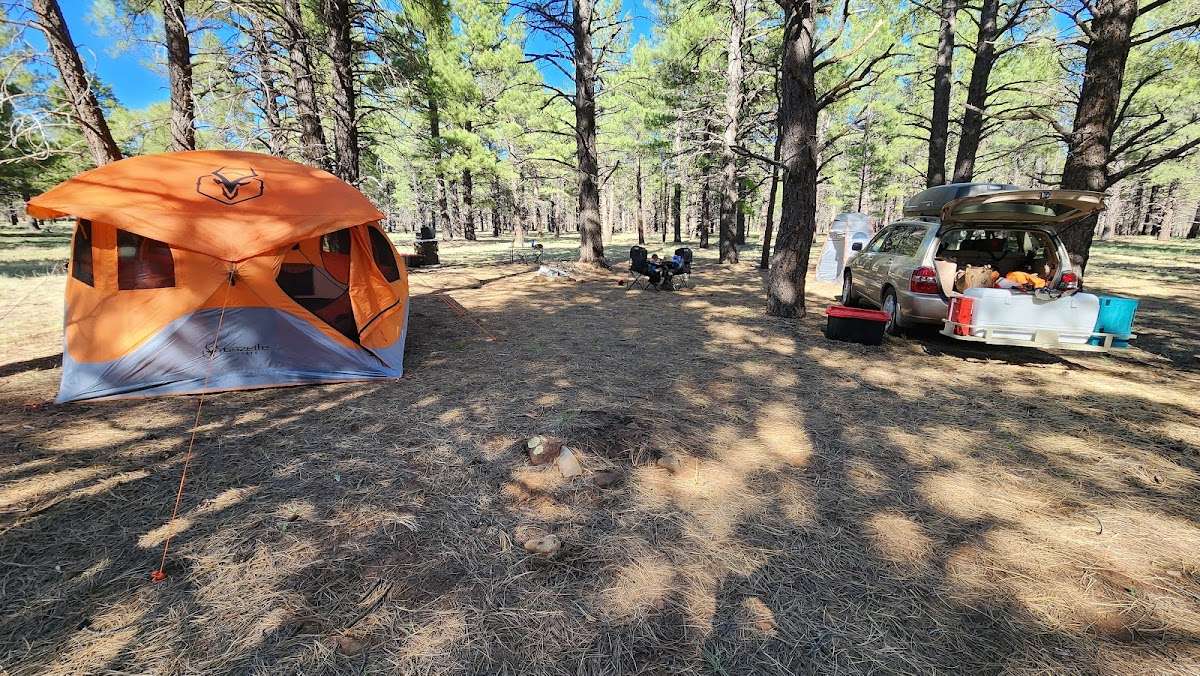
Couldn't find the wing but did find stellar dispersed camping.

PSA: Coconino Forest Service is impossible to reach, and their road and fire info on their many messages (via prompts) are outdated. Fortunately, their website is also not always current and poorly organized (at least they are consistent).

I recommend having a plan B and C mapped out in case of road or site closures. Fortunately their are plenty of great spots off 171 and it's adjoining FS roads.

Temps are quite a bit cooler than Prescott, Sedona, Pine n such, but nights can dip in low 30s in May/June, so pack accordingly or freeze. I've done both and wouldn't recommend the latter.

Helpful
0
Comments
0

Write a Review

Drag & drop files here or click to upload
More in

arizona