By:
Submission
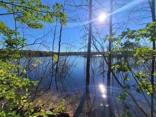
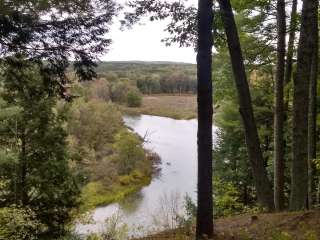
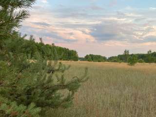
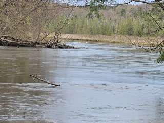
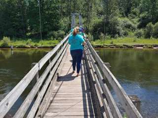
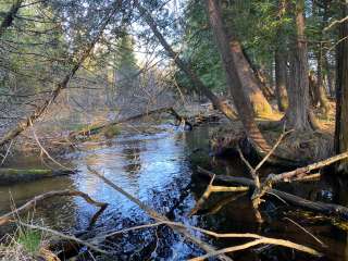
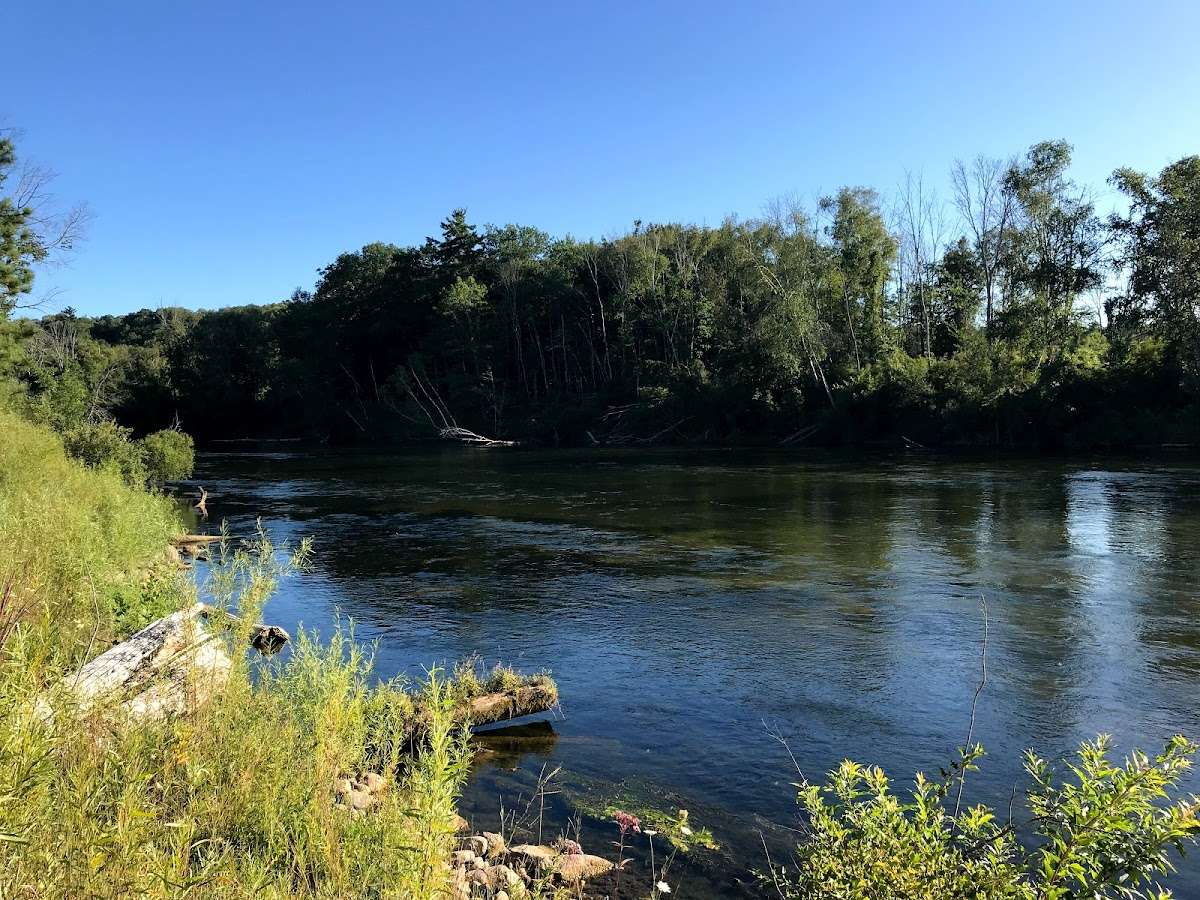
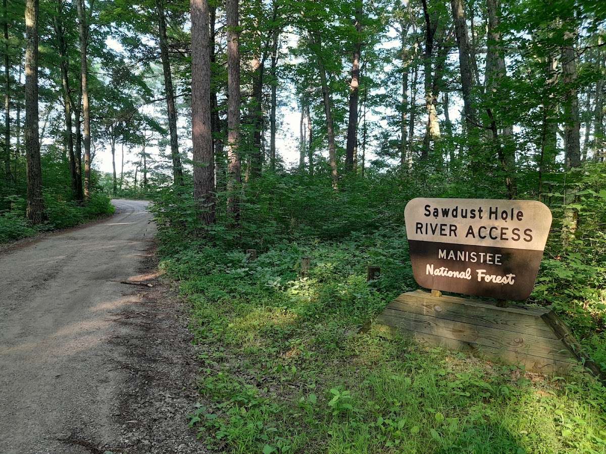
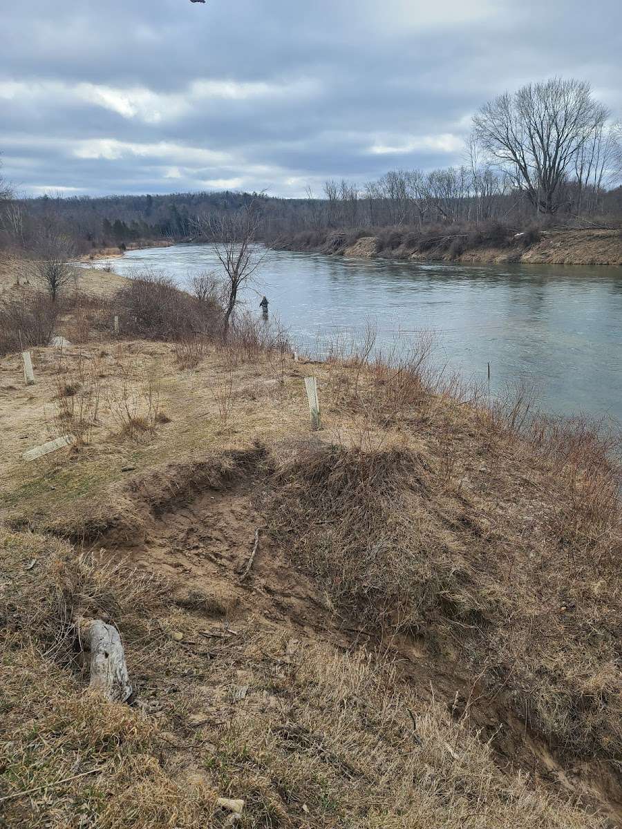
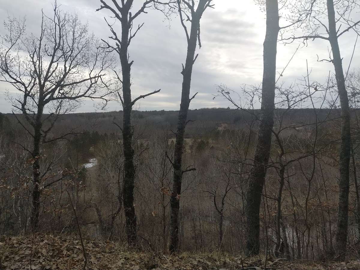
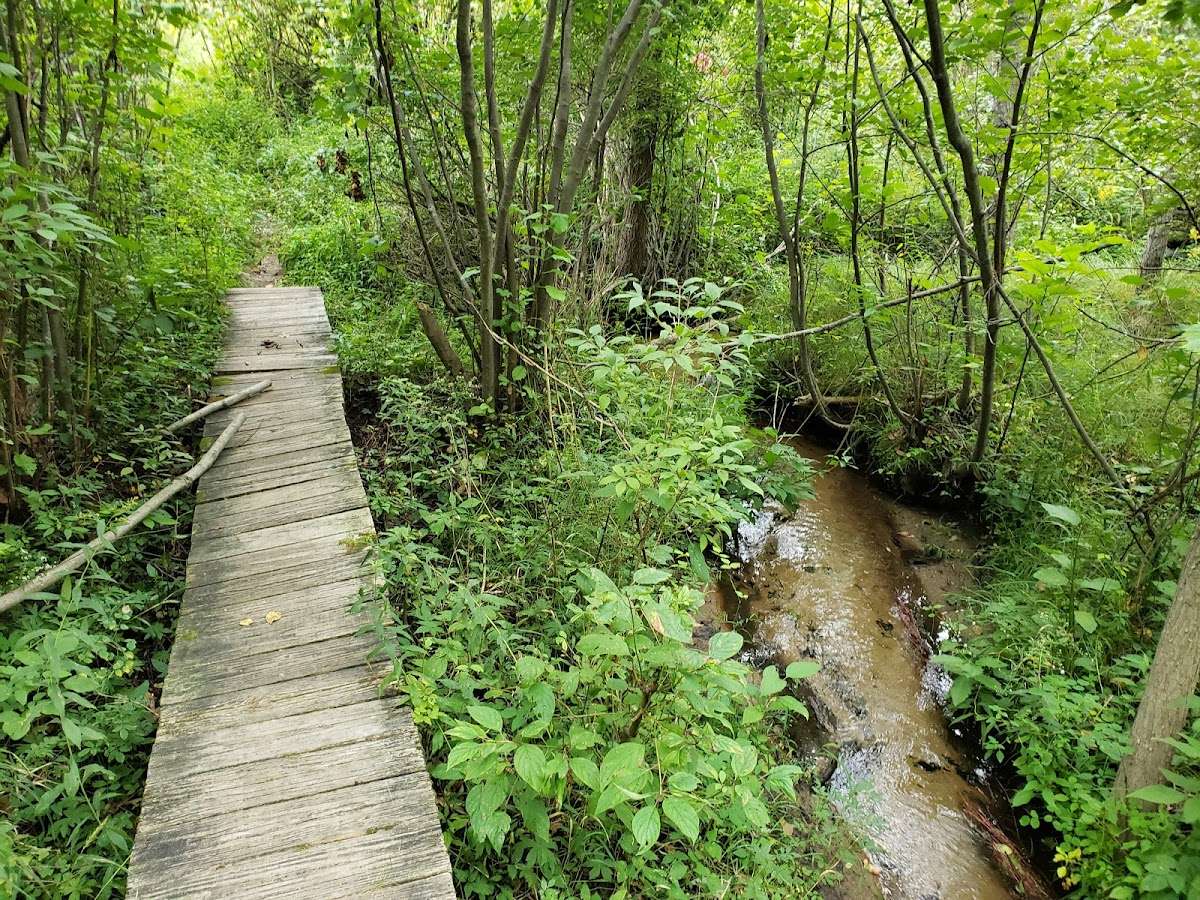
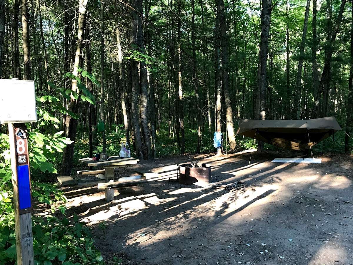
Manistee National Recreation River Lumber operations and river log drives of the 1800s abandoned many logs in the river. In the early 1900s salvage operations retrieved the abandoned logs which were then milled at the site. The original name of the site, Sawdust Pile, comes from the sawdust piles that used to be found near the sawmills. The sawdust flats were large open fields on the north side of the river were sawdust was piled until it was removed. There are multiple foot paths down to the river from the camping area. The North Country National Scenic Trail passes below and west of the site. Brochure with map : Manistee River Manistee River Trail This brochure is set to print on 11 x 17 paper, landscape (wide) orientation. To print on 8 1/2 x 11 paper set the print area to "shrink to printable area", this will make the text on the page smaller. Flickr Photo Albums Manistee River Manistee River Trail
From Manistee - Travel east on M-55 for 15 miles. Turn left and travel north on High Bridge Rd. for 6 miles. Turn right and travel east on Coates Hwy. for 3.5 miles. Turn right and travel south on Dilling Rd. for 2 miles. Turn right and travel north on FR 8799 to the site entrance.


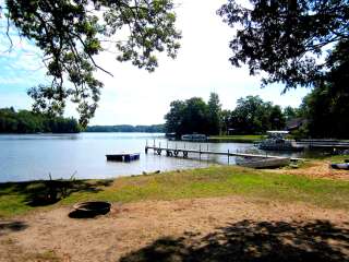
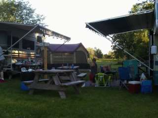
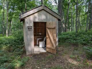
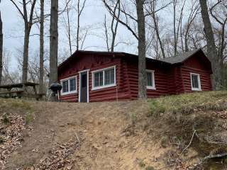
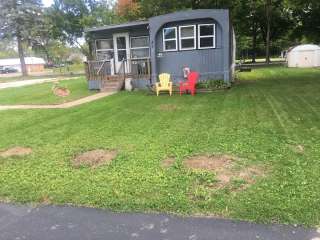
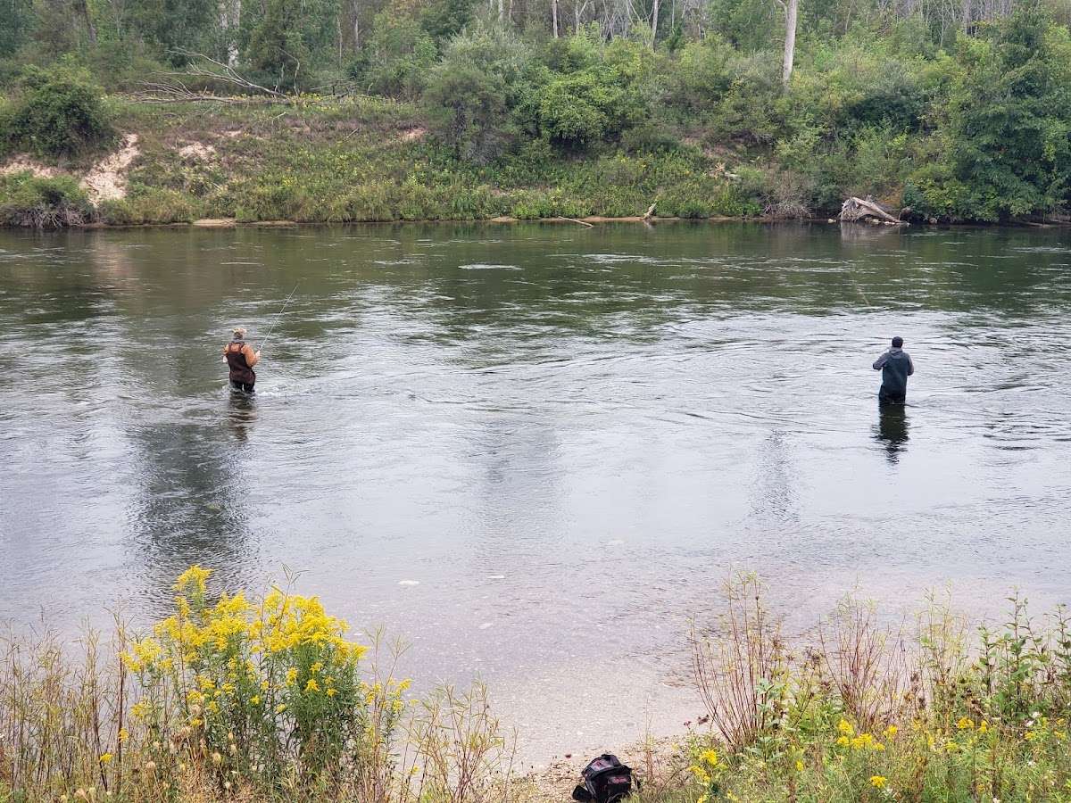
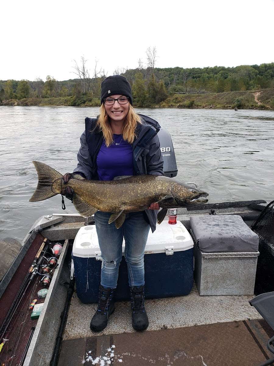
Eight rustic sites. Very secluded and quiet. Primary fish camp.


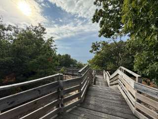
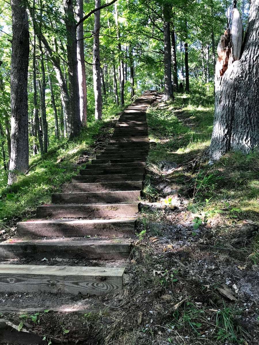
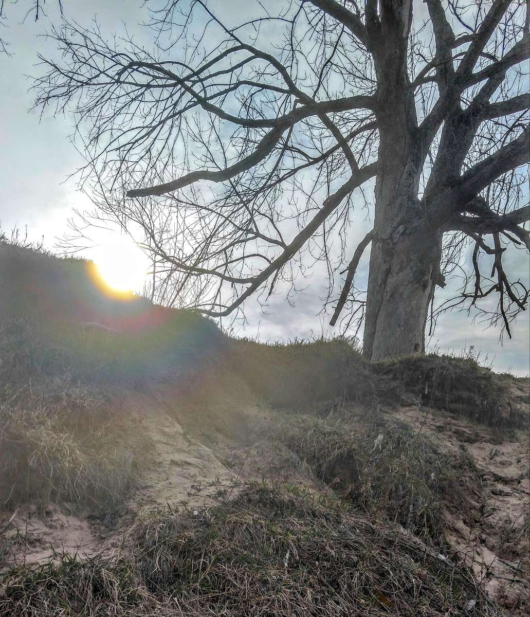
Being unfamiliar with the area, my husband, toddler, and I saw the a sign stating that there was "river access". However, when we got there, we were unaware that "river access" meant two options: either about 100 steps down or a pretty sharp path with no steps but a greater incline. Having just injured my knee and accompanied by a stroller and fishing supplies, there was no way we could possibly make the journey down to the river. Beautiful area, just be warned about the steps!

The trails are good. Go straight and take the 192 steps or go right and take the path. Both are beautiful.