


By:
Submission


It's real beautiful after a short rain. It's been unseasonably warm (March 2023) lately so the weather is nice with little to no flying insects.

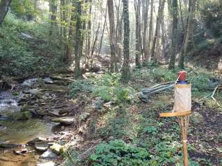
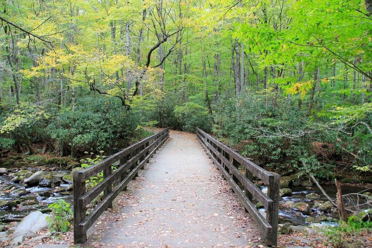
My wife and I enjoyed the trek up to the shelter. There are 4 log bridges to walk over. It’s pretty to walk along side the gentle flowing water and hear the sounds of stream. It does incline up the whole way. The path is pretty flat at first but gets a little more stony as you progress. It was a nice way for us to end the day!

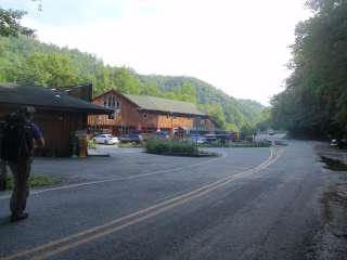
Its a easy pullout from the highway and a nice little bridge with the Oconaulftee River underneath. The trail turns uphill to the left and you follow the road and the river for a bit. It's an easy uphill slope, and the trail is nice and wide at this point. I didn't go so far this time round. The downside is, you are close enough to hear the road noise and the traffic on the highway.
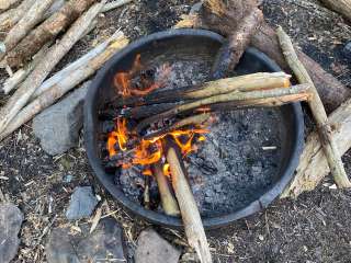
I uploaded a picture of it, and I'm pretty sure, a bear scratched one of the trees right on the trail. That was very interesting to see.

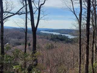
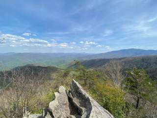
The early morning pic was taken at the Balsalm Bunches Overlook on the BRP.
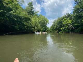
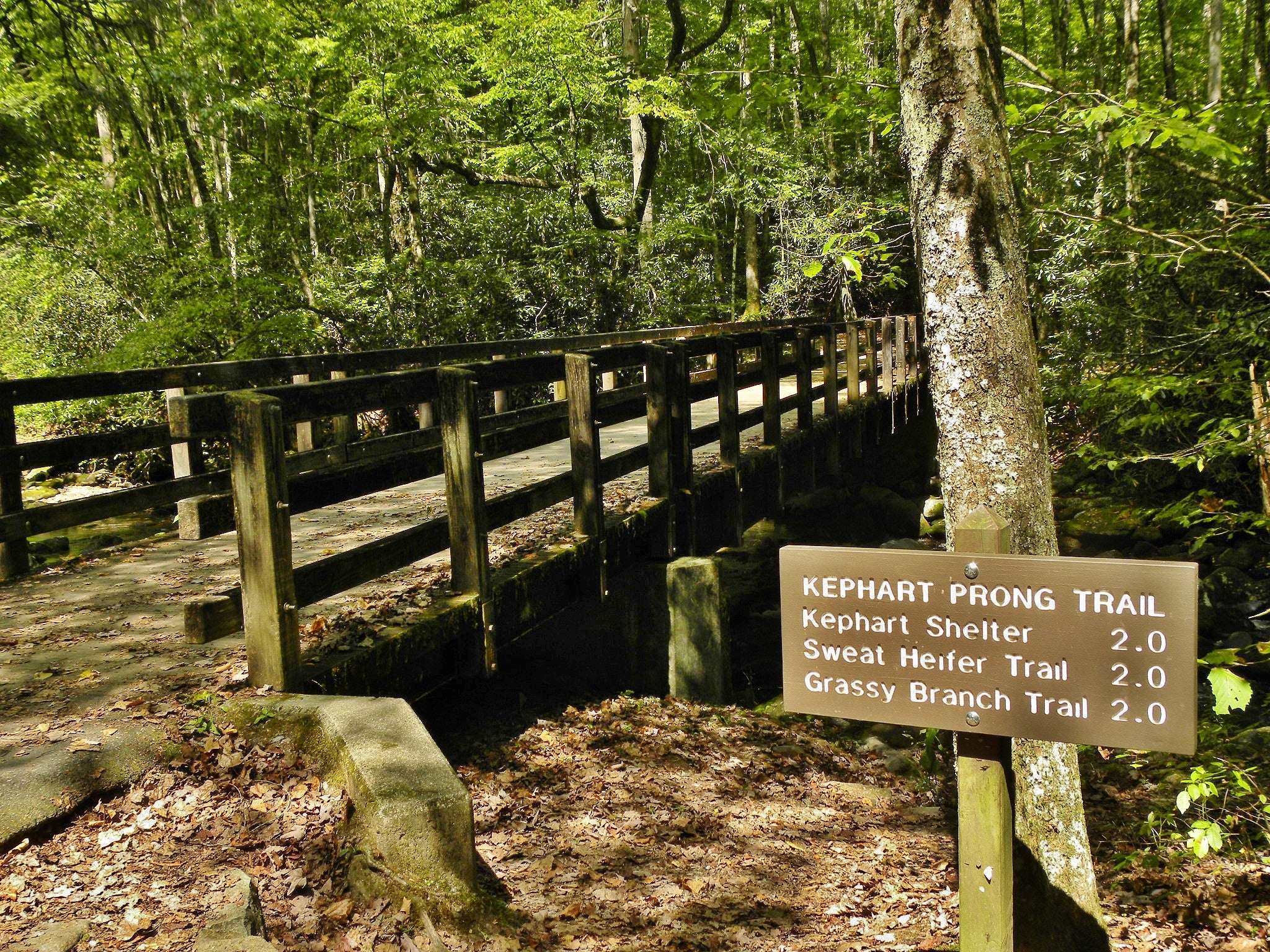
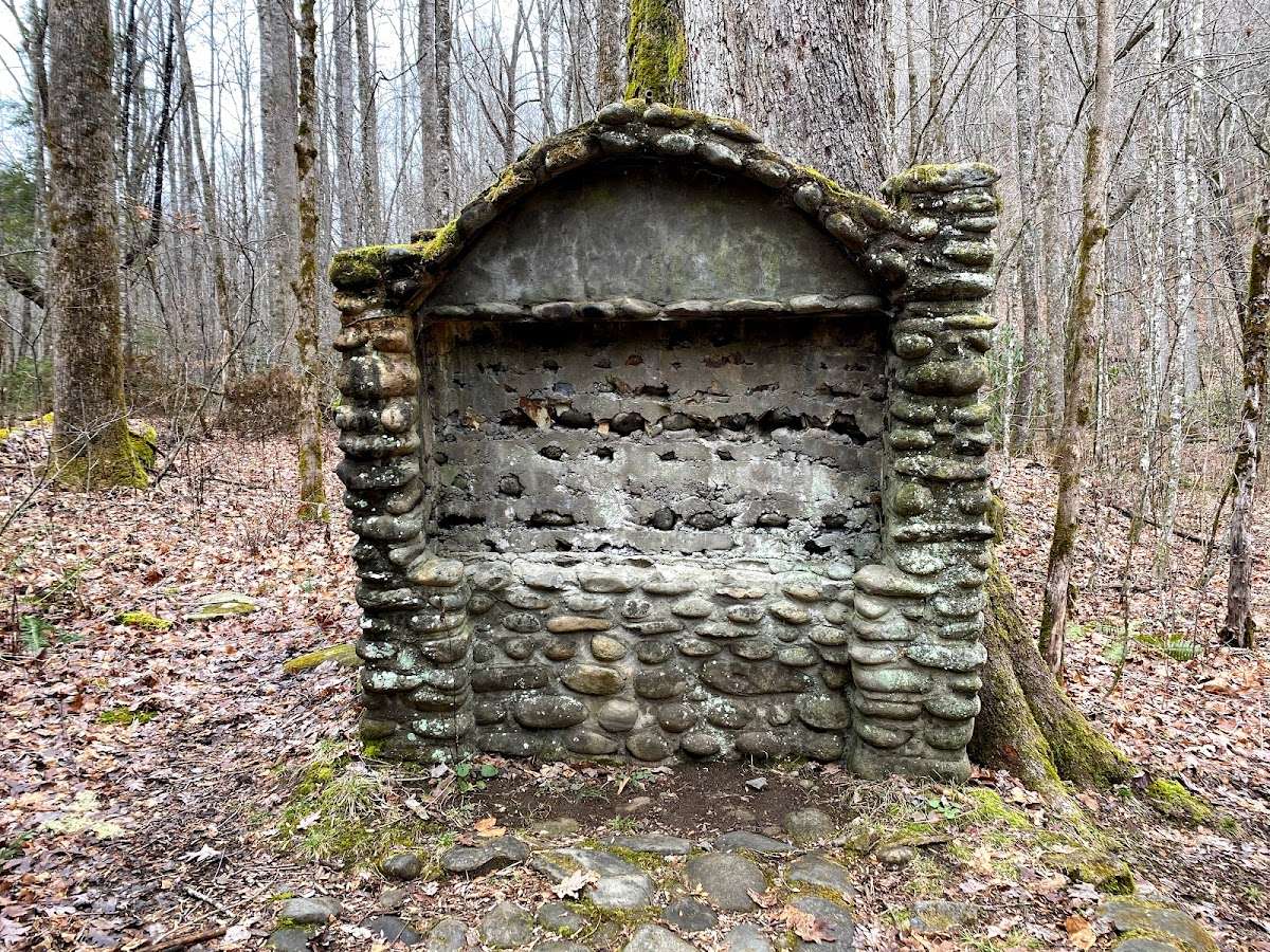
Our hike this week in the GSMNP started at Kephart Prong Trailhead, about 4 miles outside of Cherokee, and finished up at the Smokemont Campground in Cherokee. This hike required 2 vehicles. We parked one in the front parking area at the campground and the other one at the trailhead. Total distance was 15.2 miles. Lots of Waterfalls and water crossings on this hike. While hiking up Kephart toward Grassy Branch, you will pass the remnants of a CCC Camp and hike by the Kephart Shelter. Grassy Branch continues the upward climb toward Dry Sluice. At Dry Sluice Gap, the trail begins a downward descent toward the 0.6 mile Cabin Flat Trail Spur, where back country campsite 49 is located. It's a good place for a meal break with a great view of the river. While eating lunch, we had several deer to come down the trail. After lunch we hiked back down the spur and picked up the Bradley Fork Trail. It's an old road bed and follows the river. Bradley Fork led us to our last section of our hike, Smokemont Loop. The back section is 3.9 miles long with a strenuous (i.e. 🥵🤬 ) uphill climb the first 1+ miles, with the rest of the trail being downhill and ending toward the front of the campground. A short walk will get you back to your vehicle. A challenging hike for sure with all the water crossings and changes in elevation. Until next time. Safe Hiking 🥾 everyone.

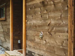
This is a great walking/sauntering trail in the GSMNP. Roadside parking pullouts are available nearby. Cute bridge at the trailhead and you will encounter 4-5 narrow log walkway bridges throughout the trail to cross the river. The sound of the river stays with you throughout the hike. Truly serene, beautiful, and completely relaxing!! Especially as the leaves have begun to explode with all the sunshine they have stored up through the previous summer months! At the end, there is a backpacker's shelter where you turn around. I would say it’s typically an easy hike, but has some steep sections that could be classified as moderate. Please remember to get your parking pass as there were numerous cars with parking tickets attached to the window when we came off the trail.