By:
Submission
Recreation
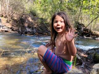
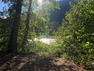
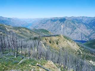
Enjoy Teanaway Community Forest, a beautiful recreation destination situated at the Yakima Basin watershed headwaters. Since Native Americans first inhabited the area 11,500 years ago to the present, people have thought this 50,241-acre forest to be special. Whether you’re planning to take your horses out along the West Fork Teanaway River or explore the incredible geologic formation of Cheese Rock, Teanaway Community Forest offers striking views, recreation opportunities, and a chance to see conservation and sustainable forestry in action.
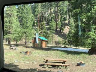
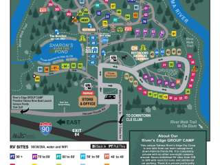
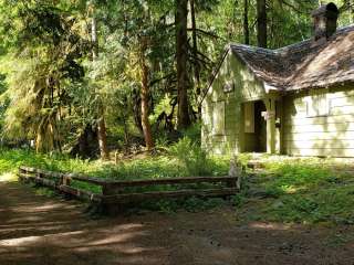
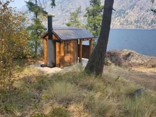
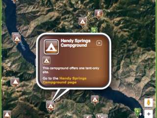
Kiosk maps within the forest help to guide visitors to trails campgrounds found within the scenic Teanaway. Hikers, horseback riders, and mountain bikers may use the existing, unmaintained trails and gated roads at their own risk until sanctioned trails are established through the Teanaway Community Forest implementation Recreation Plan (page 75). Nearby national forests also have several multi-use trailheads within the community forest. Visitors should follow the rules set by the U.S. Forest Service when using these trails.
TEANAWAY COMMUNITY FOREST TIPS
Please respect private property inholdings by using our map to avoid trespassing.
To protect the landscape, visitors may not construct new trails or change existing trails. Motorcycle, ORV, and ATV riders are reminded that they are not allowed on gated roads closed to motor vehicles and are asked to honor posted off-limit areas; it is illegal to drive around berms or other barriers intended to inhibit motorized use.
Cutting firewood is not allowed.
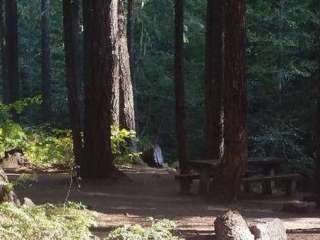
Stays are limited to seven days in a 30-day period.
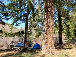
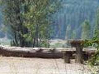
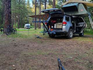
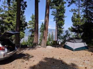
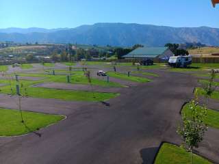
Enjoy equestrian camping in Indian Camp and Teanaway Campground only.
No dispersed camping, or camping outside of a designated campground, allowed.
Hunting and fishing are allowed in the Teanaway under WDFW regulations.
Please honor county parking signs when accessing the groomed trail system. Parking for 47 miles of groomed trail is available at the Teanaway/ 29 Pines Staging Area located on the North Fork Teanaway Road. For more information, click here.


Very beautiful place to visit. Camp grounds were fun and the joking great yet not too far from town

This is one of my go-to places to hang out and unwind. Plenty of spruce grouse to hunt. Usually there's a lot of deer here, but come general season, you won't see a single one. I would know however highly recommend coming up here in fall. It is absolutely stunningly beautiful, hands down!

Great little get away! Still too much snow for a good hike but we still went on Iron Bear Trail for about 3.5 miles. It was beautiful. Wild flowers are starting to bloom.

Very pretty forest with lots of different hikes to choose from. We did Earl Peak from the Bean Creek Trailhead. Trail was pretty much fully snow free. Round trip was 7.4 miles and 3,386 feet elevation gain.

Did a hike that I heard about from a friend called cheese rock? there's no Google maps location for it, we used coordinates. Overall really cool hike!
Some things to know:
This area seemed to have a lot of roadkill on our trip from ellensburg. Drive cautious and keep your eyes peeled for deer, elk, cow, and anything else that might be an issue.
We did not have cell phone service where we were at. If you don't know the trail, bring a map! I simply looked on the WA Trails Association website and took a few screenshots of the map from there. There are several roads and forks, so you'll want a map.
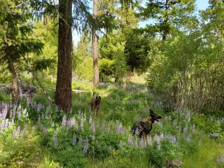
Really plentiful in wildlife and wildflowers! We had a great time :)
I wouldn't bring kids on the cheese rock hike unless they're experienced and/or really good listeners. The top of the hike drops off really far from easily climbing rocks and one loose foot could mean an airlift to the hospital.