


By:
Submission
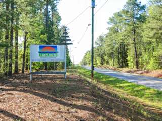
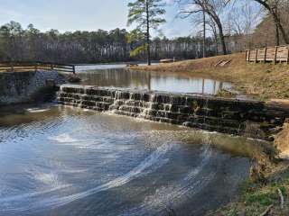
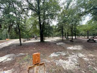
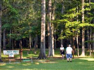
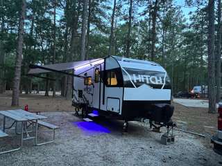
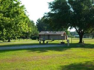
The Alston trailhead park provides parking, picnicking, camping, and canoe access on the Broad River.
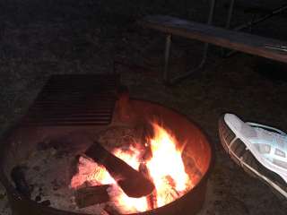
3 night maximum for camping.
Alston Trailhead: From Columbia: I-26, exit 97, take US 176 west 11 miles; turn east on SC 213; drive 3.1 miles, turn right onto Alston Road (1st road after the bridge); road changes to unpaved, take right fork, cross RR track and go under the trestle; parking is on the left at the top.
From Spartanburg: I-26, exit 82, take 773 to Pomaria, east on US 176 to SC 213; turn east on 213; follow directions above.


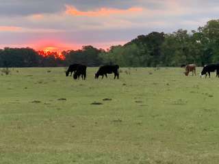
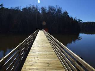
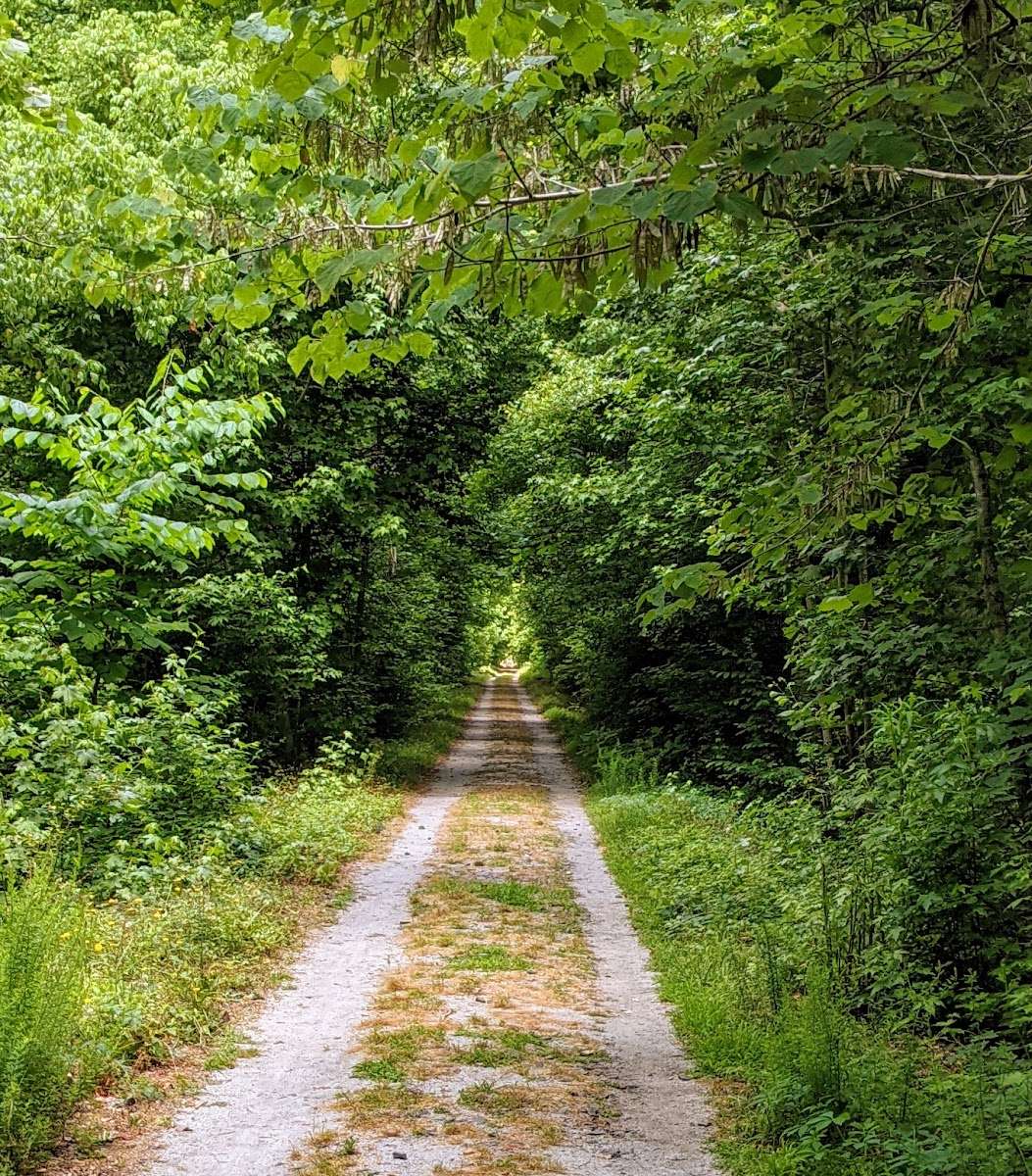
Nice mix of surfaces (wood bridges, pine straw, gravel, sand, and a little pavement). Paths are wide enough for runners and bikers to share. Mostly shaded with some sunny areas and occasional wildlife. Longer runs do involve crossing paved roads, but the first one is at three and a half miles.

There aren't any trash cans or restrooms at this trailhead, but that is not a problem, just insight. The bridges could use a little more upkeep ( soft spots in the wood and loose boards). I'm sure they are maintained for safety, but sometimes, a step on these areas of the bridges can be startling. You can go point to point.. or loop around at certain points usually near trailhead access.

This is one of the prettiest, flattest trails in the area. The trail is technically 10 miles long (which makes it a 20 mile, out and back trail). But you can walk to wherever your hearts desire and turn around.
I tend to take my dogs out there. The trail is wide enough to have several people walking side by side. It's a great place to start biking, too. There are plenty of cyclists.
There is one steep area within the first mile, after a bridge that can be tricky if it's wet ground.
The bridges can be a bit soft, too. So watch your step.
I did almost trip and fall on my run today for it. But they seem to have a good handle on replacing the boards quickly.
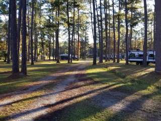
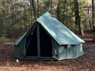
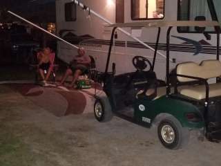
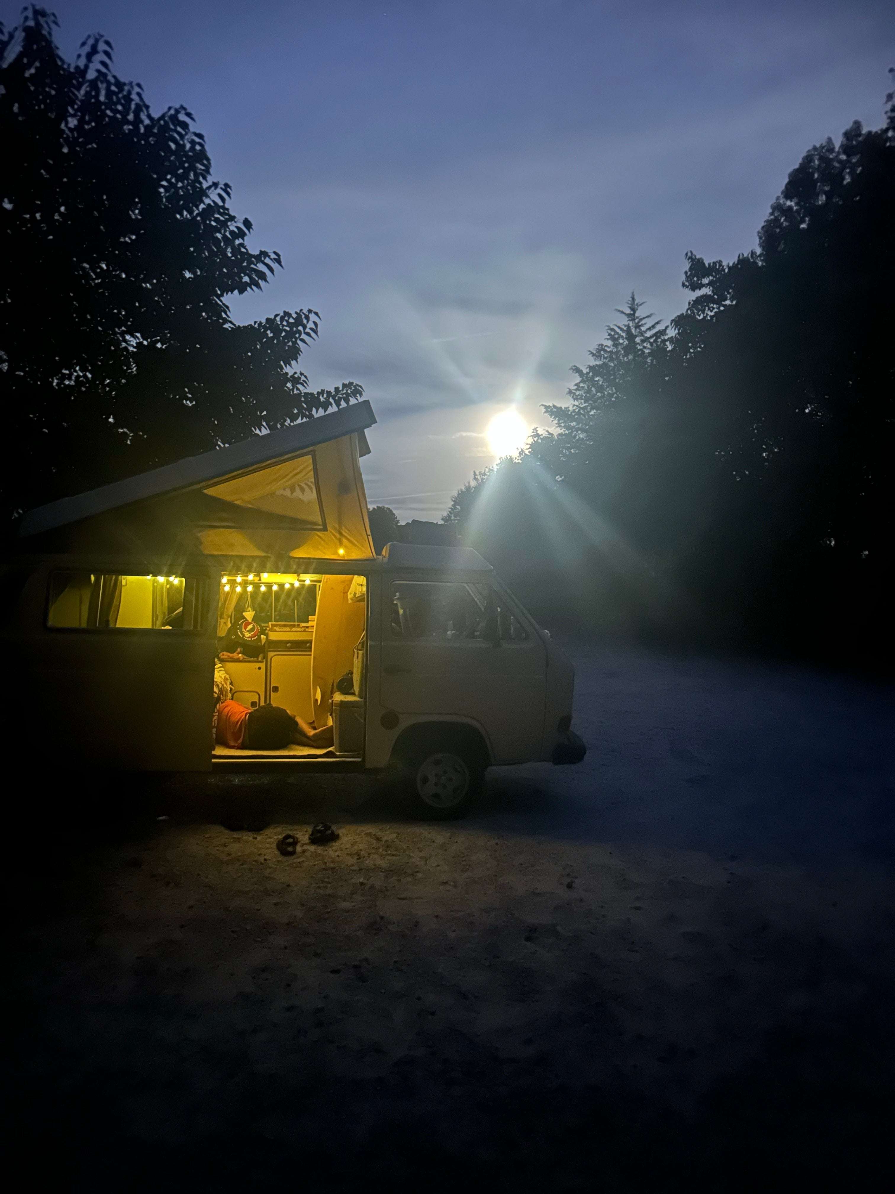
There are plenty of places to camp along this trail, too.
There are two other trail heads along this trail (Peak to Prosperity trail).
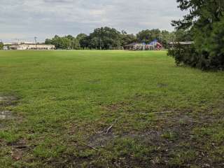
The parking lot can hold a decent amount if everyone parks respectfully. You could easily get 15 to 20 cars.