


By:
Submission
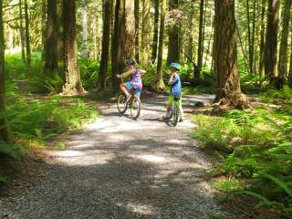
With views into Canada, fiery fall color and sweeping wildflower meadows, the trail to Yellow Aster Butte is one of the most popular in the North Cascades. Located in the Mount Baker Wilderness, the trail traverses the south-facing slopes of the High Divide. As you climb, you are treated to spectacular wildflowers shows in spring and early summer. Come autumn, the hillsides are vivid in orange, reds and yellows. This is a breathtaking area at any time of year, and so understandably popular. Expect plenty of company on trail and arrive early if you plan on camping.
The trail descends on narrow, steep switchbacks to the camping area. Day hikers will want to head right, to the summit of Yellow Aster Butte. From here, the views are stunning, with Baker, Shuksan, Tomyhoi, and many other jagged, snow-covered peaks lining your horizon.
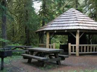
Due to its popularity, the camping area is likely to be full by midday. Please only camp on snow, rock, or bare ground – the meadows here are as fragile as they are beautiful, and even a short overnight stay can seriously damage them.
From Glacier, WA travel east on Mt. Baker Highway SR 542 for about 12 miles. Then turn left ontoTwin Lakes Road (Forest Service road 3065). The road is located at the east end of the Department of Transportation's Shuksan maintenance facility. After 4.5 miles on Forest Service road 3065, reach the Tomyhoi Lake/Yellow Aster Butte Trailhead and parking area.
Day-use and overnight visitors to the the Alpine Lakes Wilderness will need to fill-out a free, self-issue permit available at ranger stations and trailheads. Carry a copy of the permit with you and deposit a portion in the box at the trailhead. Overnight visitors to the Alpine Lakes Wilderness Enchantment Lakes area in the Okanogan-Wenatchee National Forest June 15 - Oct. 15 must obtain a special overnight Wilderness permit.


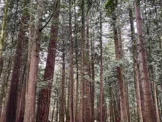
The first 300m of elevatiom are quite boring in the forest. But as you get out the view apears and only gets better and better. In fall the colors are increadible with yellow and red everywhere!


One of the most amazing trails for fall colors. Easy hike with easy access to the trailhead. Highly recommend.

I really enjoyed this hike! And, I'm hoping to provide some more information here for you, in case you're looking into it as well.
Drive: From highway 542, you'll turn onto Twin Lakes Road, which is a 5-mile long, single-car-wide, gravel road, littered with potholes and rocks. Take it slow and gently, and be sure to time your trip so you're following traffic up or down to avoid running into a 2nd car. It is slightly frightening if you're scared of heights or cliffs, but it's generally not horrible. There is no guardrail. And once you get to the trailhead, the road does widen to fit 2 cars so that you can park on the side.
First 1/2 mile: This is mostly switchbacks up the side of the mountain through grass and plentiful wildflowers. There's a ~400 ft elevation gain, so it is tiresome.
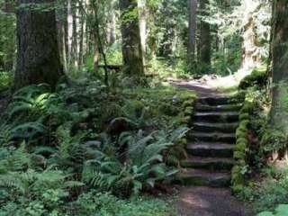
0.50-1.25 mile: You're hiking through woods. Still around a ~600 ft elevation gain, but it's cool in temperature with the shade and does have some short, flat, wide areas for breaks.
1.25-2.25 mile: You're hiking through brush, grass, and wildflowers alongside the mountain. You'll see some rockslide areas. This is where the views open up, and you can see the neighboring mountains. ~500 ft elevation gain.
At 2.25 mile, this opens into a wide, flat area, perfect for a lunch break. Here, the views are spectacular.
I didn't make it past 2.50 miles, as the trail narrowed more, and being scared of heights (and having terrible balance), we turned back, but I'm looking forward to trying this trail again! I want to see the tarns at the end.

An excellent hike, and has lots of “choose your own adventure” type of trail offshoots/and options, so you can be really hardcore or keep things casual based on your preferences.