Contact Info
Camping Style
About Campground
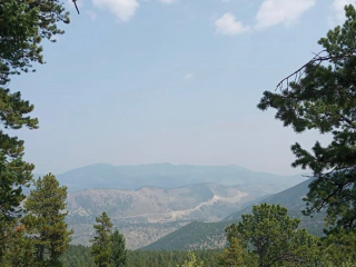
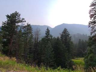
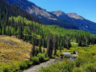
The South Platte Ranger District is located east of the Continental Divide in the central Rocky Mountains and lies adjacent to the Denver metro area in Park, Jefferson, Douglas, Clear Creek, and Teller counties. The South Platte District is 450,000 acres in size with elevations ranging from 5,800' along the South Platte River, to over 14,000' at Mount Evans. Feel free to stop by our visitor center on Highway 285 in Conifer to inquire about current conditions, find out what's going on, and get maps you may need to enjoy your visit on our District. We have Devil's Head Fire Lookout and Smokey Bear T-shirts available for purchase. Note: For camping near Morrison or Red Rocks Amphitheatre, contact Bear Creek Lake Park at (303) 697.6159, or Chatfield State Park at (303) 791.7275.
Directions
South Platte Ranger District Office : From Denver, CO take C470 to Highway 285 South (toward Fairplay, CO). Travel 17.5 miles along Highway 285 to Kings Valley Drive. The office is located to the right, on the upper/north level of the building.
Access
Accommodations
Features
Essentials
Location Map
More Details
Featured Videos
Reviews Ratings
The folks here are awesome and the info and support available from is vast. I don't love the new location - it's tiny, and it feels like there were more so many resources and artifacts at the old location.
A bit hard to see from hiway, but new office has friendly, helpful staff. Free stickers, maps, and a stuffed lynx.
Office not open! Someone inside did come out, but didn't know much about camping in the area. A big waste of time to go here.
Thanks for the help, Hannah! With maps in hand and stickers for kids, the trails can be yours!
Tip: Sneak behind the strip mall to the back corner to find the entrance!
Located in a strip mall. It's a little hard to find. Lots of information used to get our permit for cutting out a Christmas tree this year.


