By:
Submission
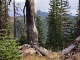
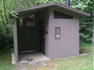
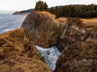
This site provides primitive campsites along the South Fork of the Coquille River. Facilities 5 campsites with picnic tables, and fire pits No drinking water Vault toilet No garbage disposal - Please pack it out ACTIVITIES Auto Touring: Forest Road 33 Camping: Not recommended for RVs Daphne Grove Campground Island Campground Hiking: Nearby hiking opportunities include the Elk Creek Falls Trail #1151, and the Big Tree Trail #1150. Hunting: Recreation sites are adjacent to a variety of hunting opportunities. Hunting/discharging a firearm is NOT allowed in or near recreation sites. Reference: 36CFR 261.10(d) See Oregon Department of Fish and Wildlife for hunting regulations. Picnicking Recreational Vehicles: Daphne Grove Campground Wildlife Viewing Swimming
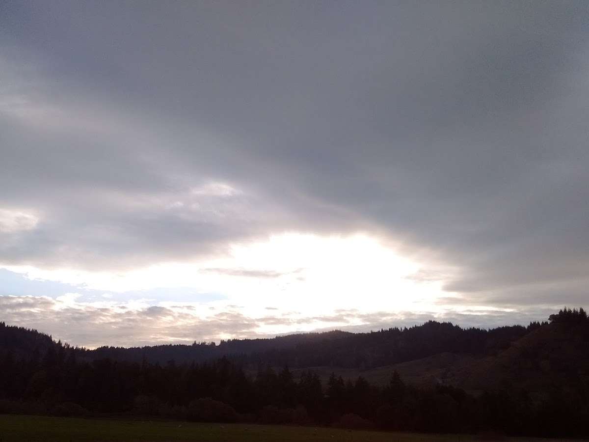
Located 8 miles south of Powers on Forest Service Road 33


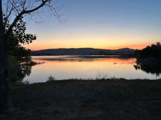
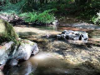
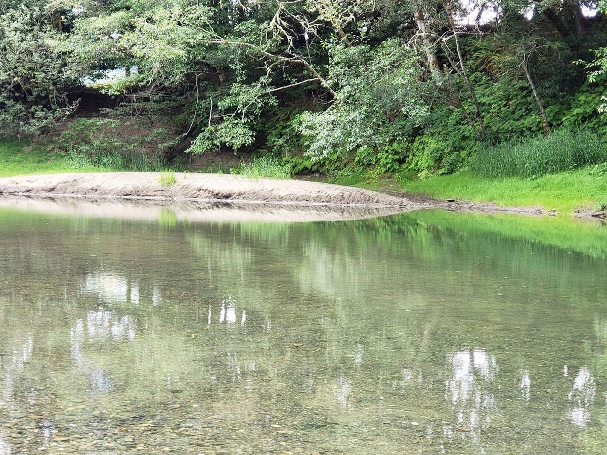
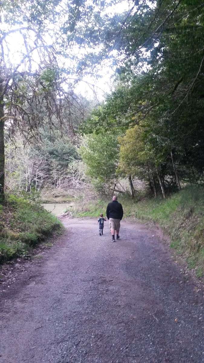
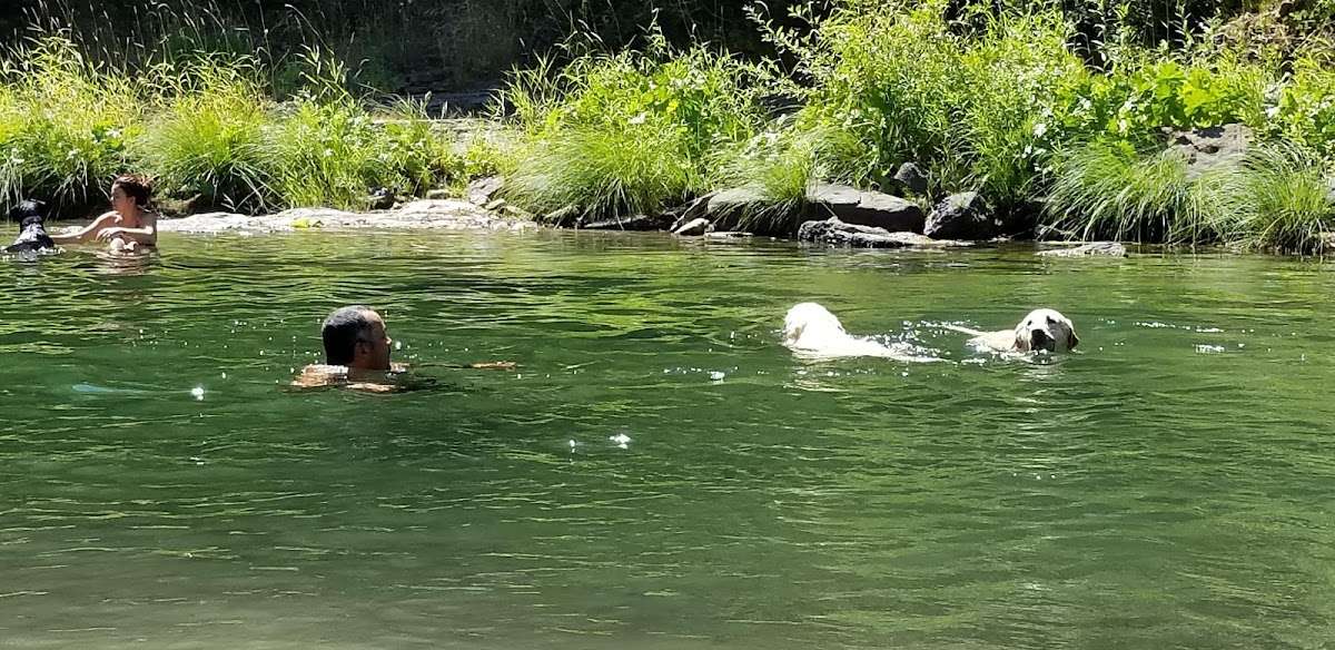
Great place to take the kids. Water was calm and not too cold


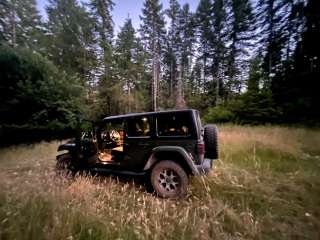
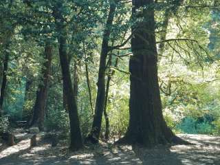
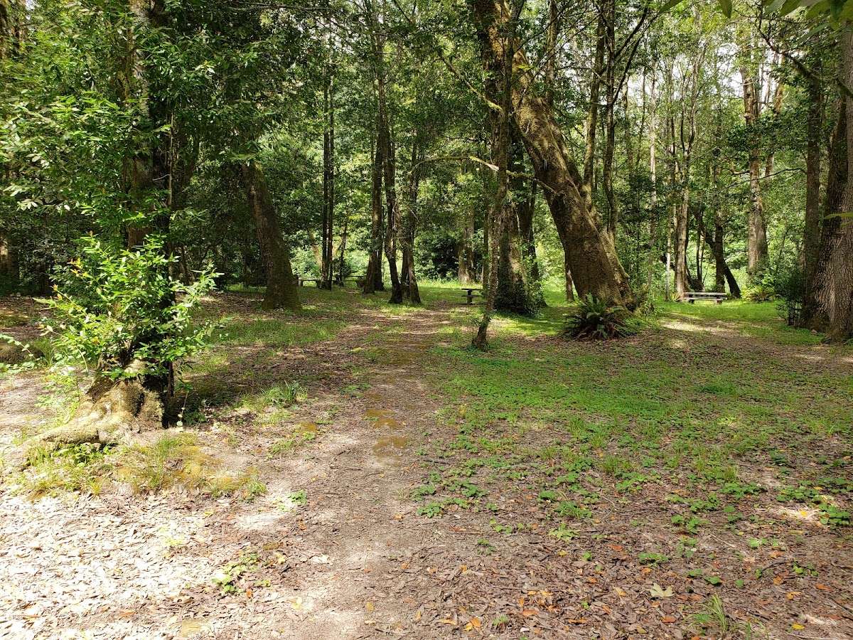
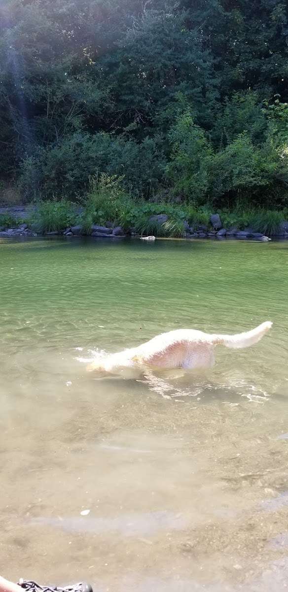
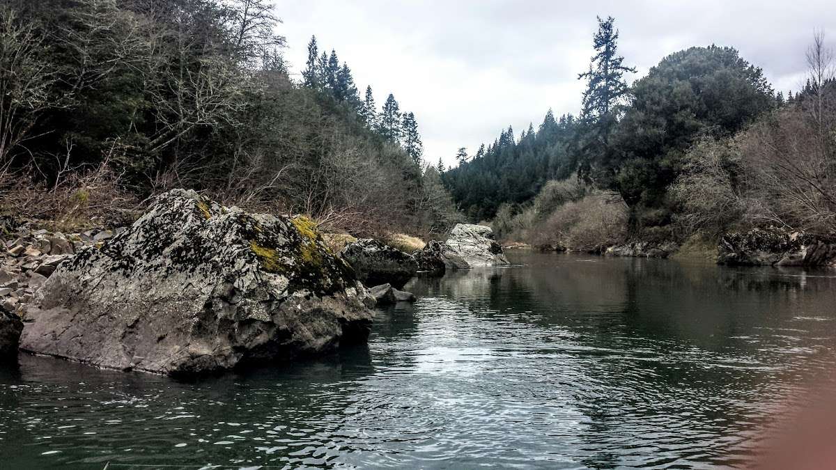
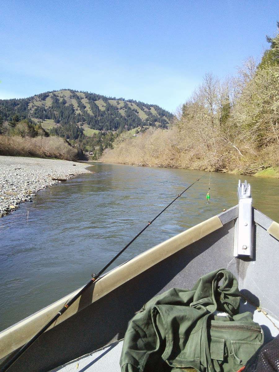
Small picnic park with river access. Picnic tables provided and spaced nicely apart in the upper area, near the gravel parking area. Grounds around the tables could use some trimming love. There is a short gravel 'road' to the river below the picnic areas. (The road has a couple of nice ruts at the bottom and outlets onto the river gravel bar that is not tightly packed. Four wheel drive and a few inches of clearance recommended!). There is a swimming hole (unmarked) along the opposite side of the river and enough area for several groups to hang. If there are vehicles involved, I could see the area getting crowded in a hurry as the drivable area is limited to the left of the road across. To the right is fairly steep loose gravel. Some pretty rocks in and along the river and pretty river scenes to be enjoyed. Writing this at the end of May 2021 and still saw lots of +®um¶ signage on the road to the park.