By:
Submission
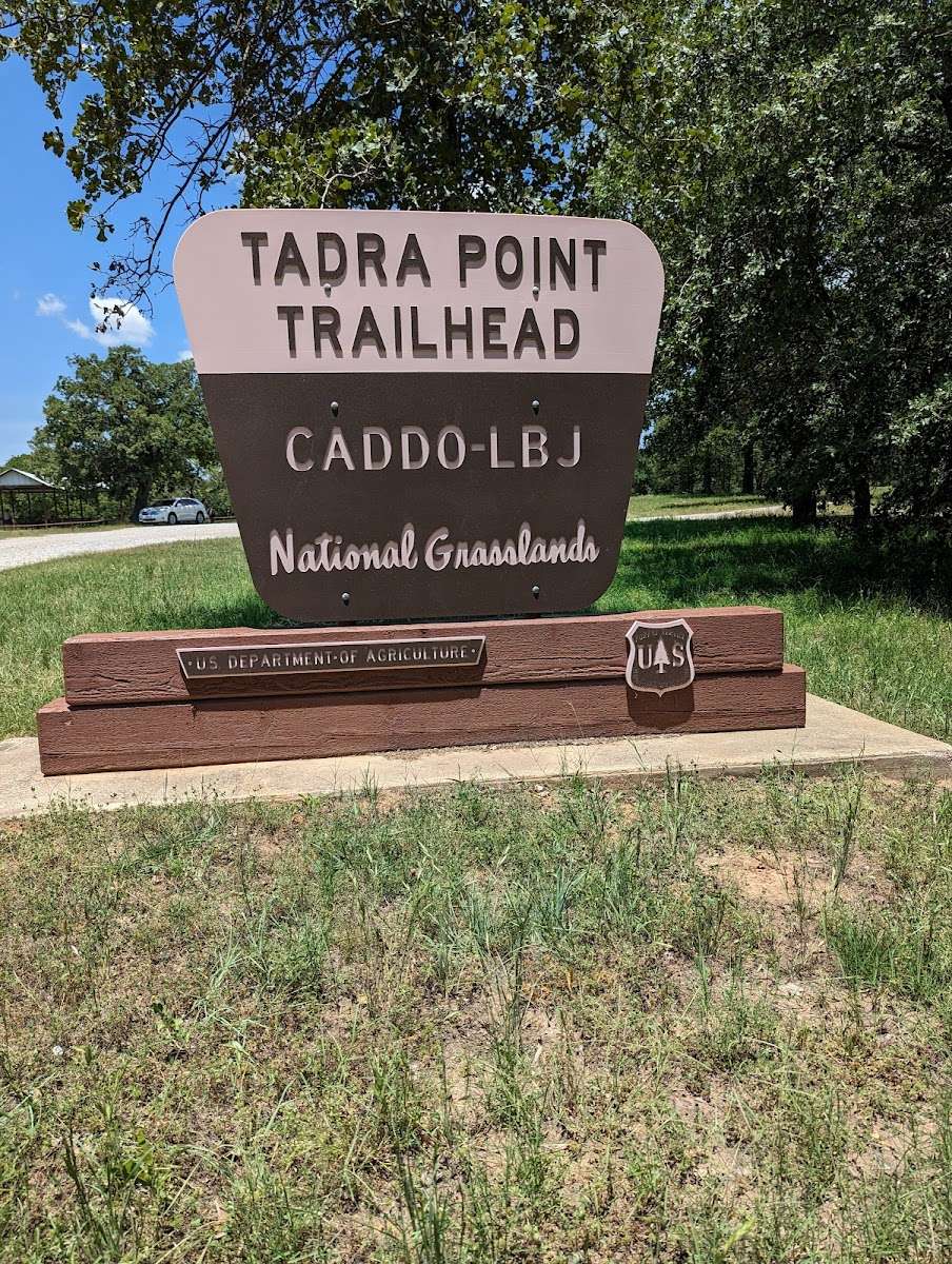
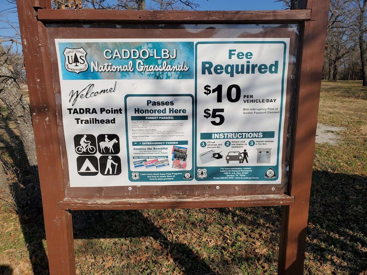
Directions from Decatur For vehicles with trailers over 12 feet: Travel FM 730 north 10 miles; turn left on CR 2461 and at the fork, turn right on FS Road 904 and right at FS Road 900 and follow signs to TADRA. For vehicles with trailers under 12 feet: Travel FM 730 north 10 miles; turn left on CR 2461 and bear to the right on to CR 2560 for 3 miles and turn left on FS Road 900. TADRA Point Trailhead is on the right at 2 miles.


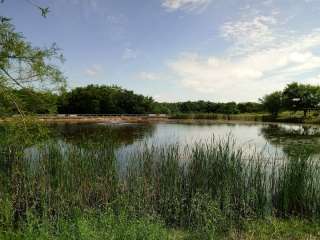
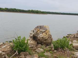
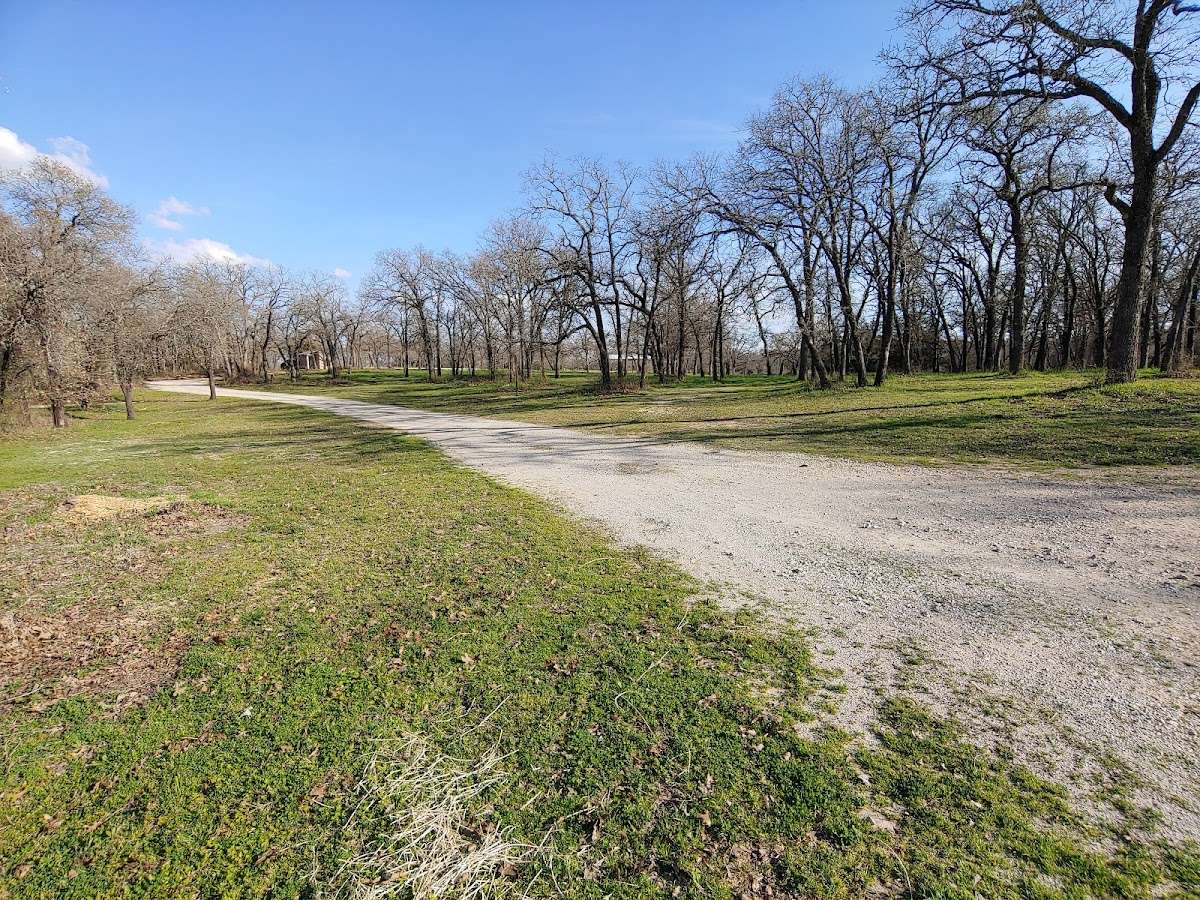
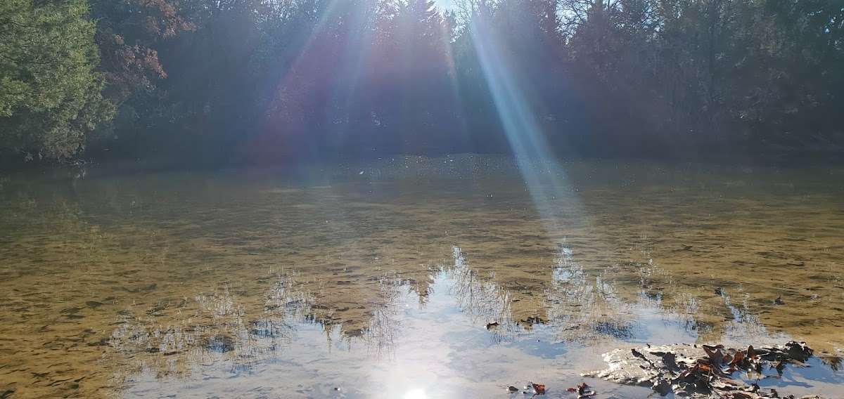
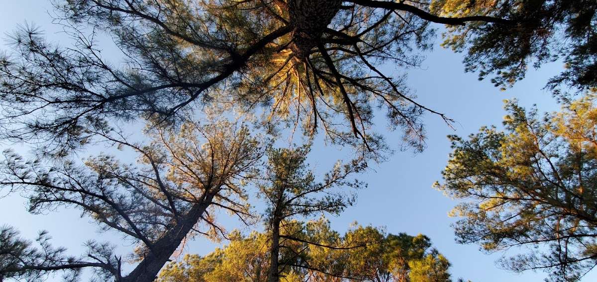
Nature in it's natural form. Plenty of trails, small lakes, elevation change and ecosystems. Some sections of trail are poorly marked, suggest taking maps/ download offline as signal is hit or miss. Lots of wildlife and grazing cattle. Good footwear essential.

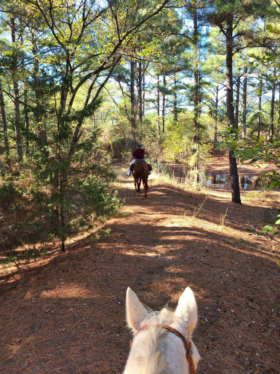
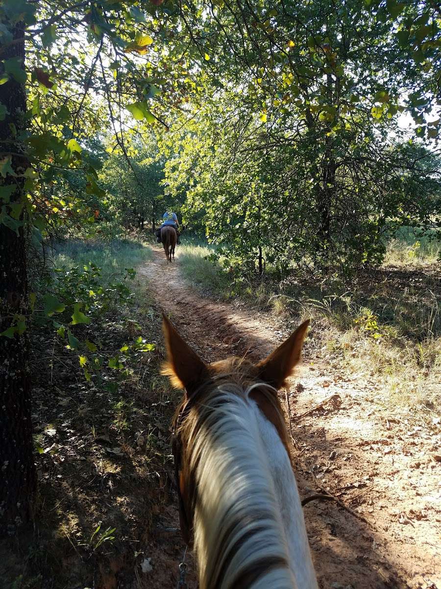
It's not a bad hiking trail at all, except we ran into some hunters and they explained that it is a hunting area and we should be wearing orange. I definitely do not consider it safe for hiking. The place is beautiful though and there are wonderful trails for horse riding.

Two miles of pretty bad gravel to get to the trail head off the main road. Parking seems to be limited. The trails are broken by the 🐴 hooves and it is hard to hike; however, it is a nice area and well worth the time.

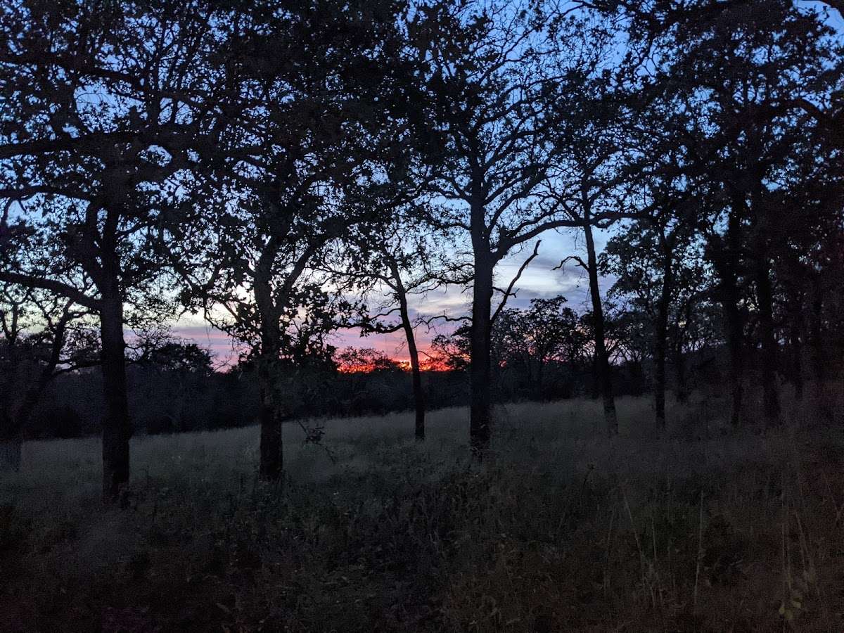
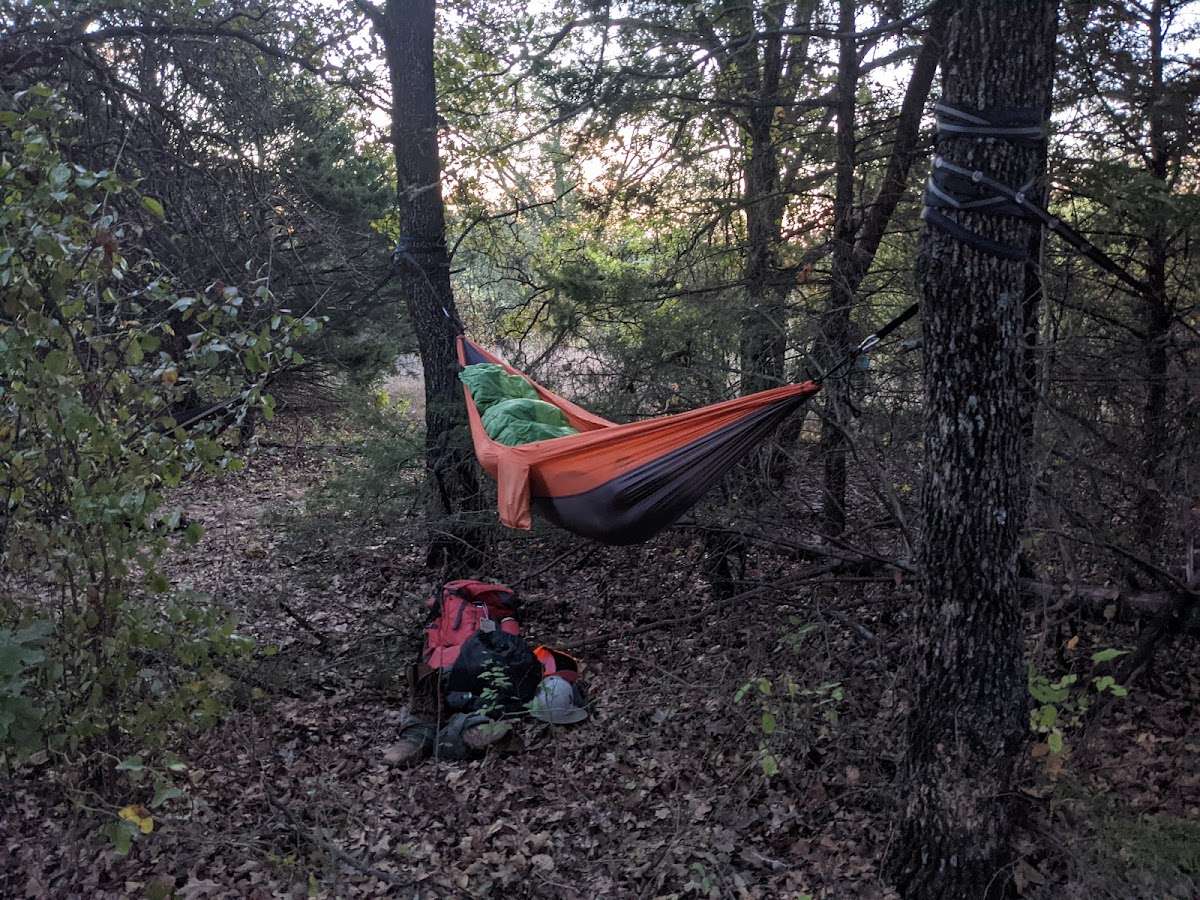
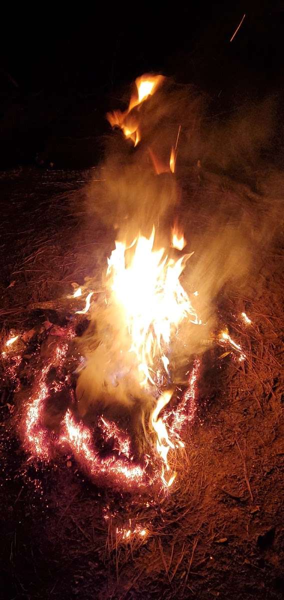
First time here and we loved it. We used this as a starting point for a backpack trip through the grasslands. Unfortunately we had to evacuate for a fire in the piney woods, but we'll be back to check out more trails.

I mostly stuck to the yellow and red trails. They are marked by wood markers, colored ribbons, and spray paint on trees. However, these markers are fairly sparse. Parts of the paths were overgrown. It is also easy to take a side, parallel path that leads to nowhere. I had to back track several times to get back on track. I think this is great for horseback riding, but not necessarily for hiking. I only checked out a fraction of the trails, so maybe other areas are better marked and easier to stay on track.