Contact Info
Camping Style
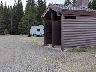
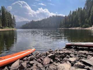
About Campground
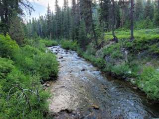
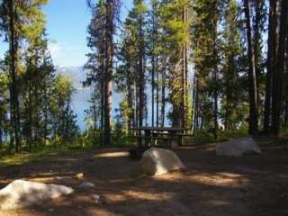
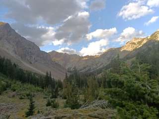
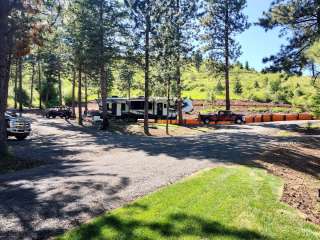
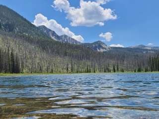
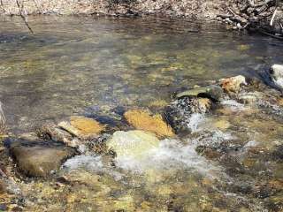
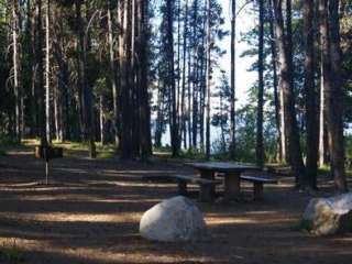
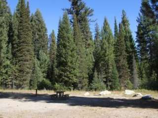
Overview: Little Roaring River Lake Campground hosts 4 campsites and is located between the Upper Roaring River and Little Roaring River Lake in the Trinity Recreation Area. No motorboats are allowed on the lake. Near the Campground is the Trailhead for the Little Roaring River trail, which heads north. This trail is open to two-wheeled ATVs. An information kiosk at the campground offers information about resources and natural history of the area. Natural Features: The campgounds in the Trinity Recreation Area are located in a dense lodgepole pine forest close to the East Fork Roaring River at an elevation of 7,900 feet. They're nestled among four subalpine lakes: Big Roaring River Lake, Little Roaring River Lake, Big Trinity Lake and Little Trinity Lake. The peaks of the Boise Mountains surround the cabins, and Trinity Mountain, the tallest in the range at 9,700 feet, is just to the south. Snow can make this area inaccessible until early July, but soon afterward, the land is blanketed by colorful summer wildflowers. This area is a haven for elk and deer, but wildlife watchers may also spot an occasional black bear. Recreation: Hikers can access the 4-mile Rainbow Basin Trail System from Big Trinity Lake. The William H. Pogue National Recreation Trail and Lava Mountain Trail are for off-road vehicle enthusiasts, mountain bikers, hikers and horseback riders. Both of these trails can be accessed near Big Roaring River Lake. The Little Roaring River Trail at Little Roaring River Lake is also open to mountain bike, off-road vehicles and hiking. Click here for an Idaho OHV Safety Message. Anglers can fish in any of the nearby lakes for rainbow and cutthroat trout. The lakes are also ideal for exploring by canoe or kayak.
Directions
From Boise, Idaho, travel east on Interstate 84 (I-84) to Mountain Home, Idaho. At the I-84 and State Highway 20 junction, take State Highway 20 east for 35 miles to the Pine/Featherville turnoff. Then travel north on Forest Highway 61 for 29 miles to Forest Service (FS) road 172. Proceed 15 miles northwest to FS road 129 and continue 3 miles to the Guard Station junction. The roadway is paved up to the junction of FS road 172. From there, the road is native material (dirt) and trailer traffic is not recommended. There are signs noting each of the junctions.
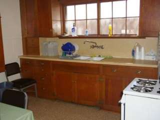
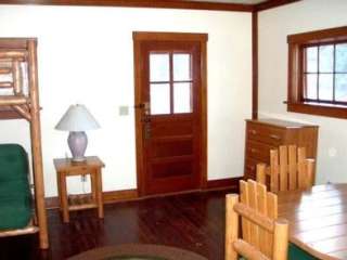
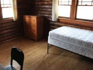
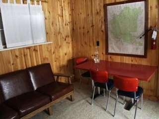
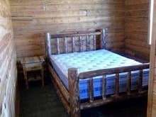
Accommodations

Location Map
More Details
Featured Videos
Reviews Ratings

Cool place to camp out lots of snow still there gonna be a bit before there's any campin there this year. 113" there still.