


By:
Submission
Wilderness permits are required. The self-issuing permits are free and are available at trailheads.
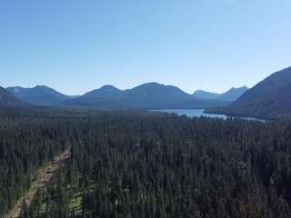
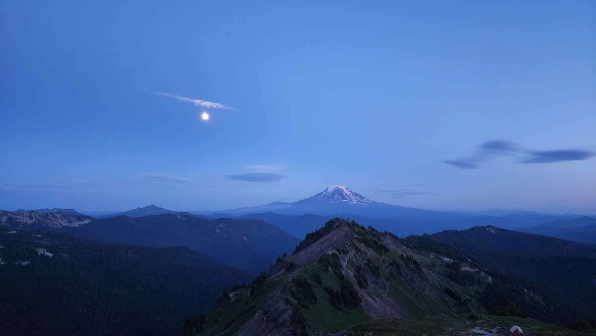
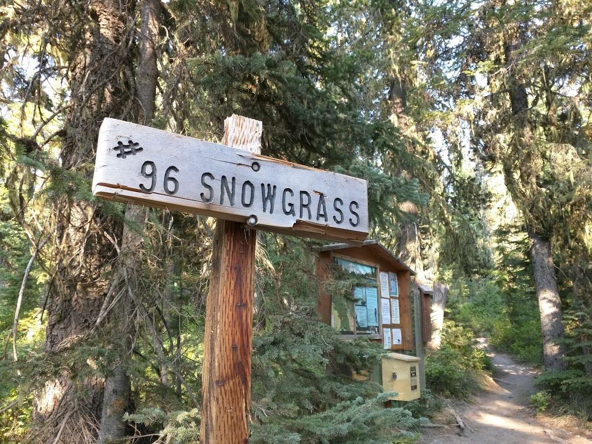
This trail begins at the Berry Patch Trailhead and may also be accessed via Snowgrass Hikers Trailhead. It ends with its junction with the Pacific Crest Trail #2000 within Goat Rocks Wilderness. The trail is part of the Klickitat Trail system used by Native Americans traveling over Cispus Pass to the Klickitat River drainage.
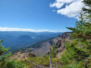
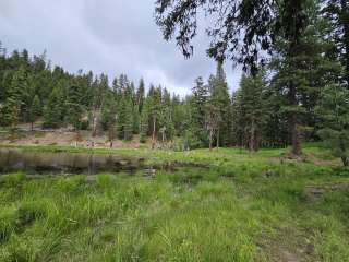
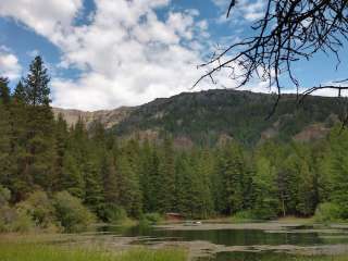
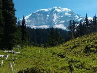
From Forest Road 2150.040 at Berry Patch Trailhead the trail heads northeast through a conifer forest until crossing Goat Creek. It continues up switchbacks, through talus and timber, to a junction with Bypass Trail #97 (at mile 4). Snowgrass Trail #96 continues to intersect with Lily Basin Trail #86 and ends on the Pacific Crest Trail #2000. This trail is part of the Klickitat Trail system used by Native Americans traveling over Cispus Pass to the Klickitat River drainage. Snowgrass Flats is a 10-plus acre subalpine meadow in a bowl near the headwaters of Snowgrass Creek. The area was named for a type of plant that stockmen called snowgrass.
The Snowgrass Hiker Trail #96A is designed for hikers. It begins on Forest Road 2150.405, enters the Wilderness, then connects with Snowgrass Trail #96 within a short distance from Chambers Lake.
ALERT: Please be advised that the Snowgrass/Goat Lake/Old Snowy area is the most crowded area in the Goat Rocks Wilderness, in the summer months. Expect to see a hundred or more people on the trails. Parking lots at the Snowgrass Trailhead and Berry Patch Trailhead fill early even on weekdays as do places to camp along the trail.
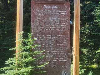
The fragile alpine meadows in the area are being heavily impacted by human use. Please help us in preserving the Wilderness character of the Goat Rocks by observing closures listed in the Wilderness Regulations and on your Wilderness permit, and by following Leave No Trace ethics.
If you value solitude as part of your Wilderness experience, please consider trying an alternate hike. There are many scenic hikes in the area that are less crowded.
For current weather conditions, please follow National Weather Service: https://www.weather.gov/
From Packwood, WA head west US-12 for 2.7 miles then go left on Forest Road 21. Stay on Forest Road 21 for 13 miles then take a slight left towards Forest Road 2150. Follow 2150 for about 3 miles to the Berry Patch Trailhead off Forest Road 2150.040.
Wilderness Permit Required. Permits are free and available at trailhead.


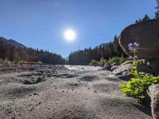
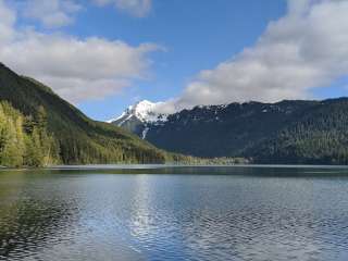
Beautiful hike, not too crowded and well maintained trials. There were several small logs you had to step over

No restroom in parking lot. The first miles are pretty boring but you have to wait to see the stunning valley with waterfalls and gorgeous picks.

Great hiking up into the Goat Rocks. Old Snowy and Mt Ives make a great day trip.


One of the best hikes ive ever done. 12 miles of incredible views. Pictures speak for themselves although the pictures already found online do not do it justice