By:
Submission
Deep Creek Trailhead not accessible due to Deep Creek Road being washed out during the 2006 flood. **Closed to ALL MOTORIZED VEHICLES at the Mt. Aix Trailhead.**
From Naches, WA travel west on Highway 12 for 4.4 miles. Continue straight onto Highway 410 W for 27.5 miles. Turn left onto Bumping River Rd / Forest Road 1800 and travel 13.5 miles then stay left on Forest Road 1808 before crossing Deep Creek to travel another 7 miles to reach the trailhead.


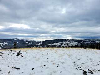
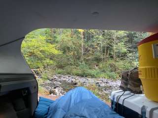
Scouting the back country. Saw one cow on our first night and many vicious mosquitoes. Great time.

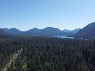
I've riden horses all around the American Ridge trial area frying pan mountan, Bumping Lake & Pear Lake and Blankenship Meadows is a good ride
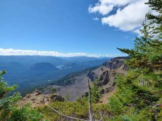
Rimrock mountain Soda Springs horse camp ties in with white pass horse camp close by.
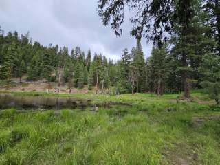
twin sisters lakes a favorite exited down the St Joseph
Trail 2 Highway 410 To Pleasant Valley Campground I've ridden in this area many times I hope to get to ride in there again

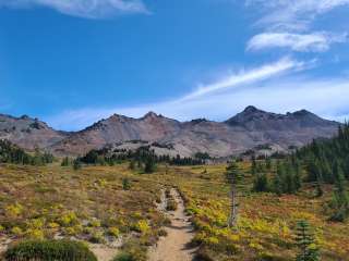
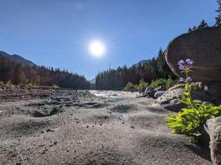
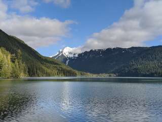
Nice trail to Pear Lake and other destinations. It is a no fee parking area which is nice. Bring your mosquitoe spray though.