


By:
Submission
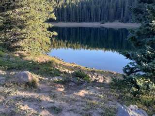
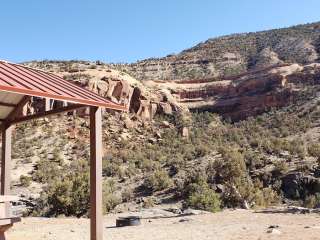
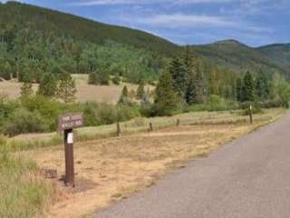
May Queen Campground is located at the far western end of Turquoise Lake in a shaded lodgepole pine forest. Conveniently perched near the Charles Boustead Memorial Tunnel, May Queen offers easy access to boating, fishing and hiking.
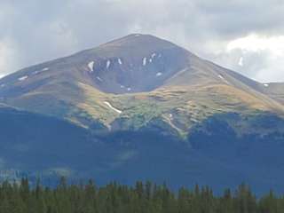
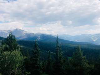
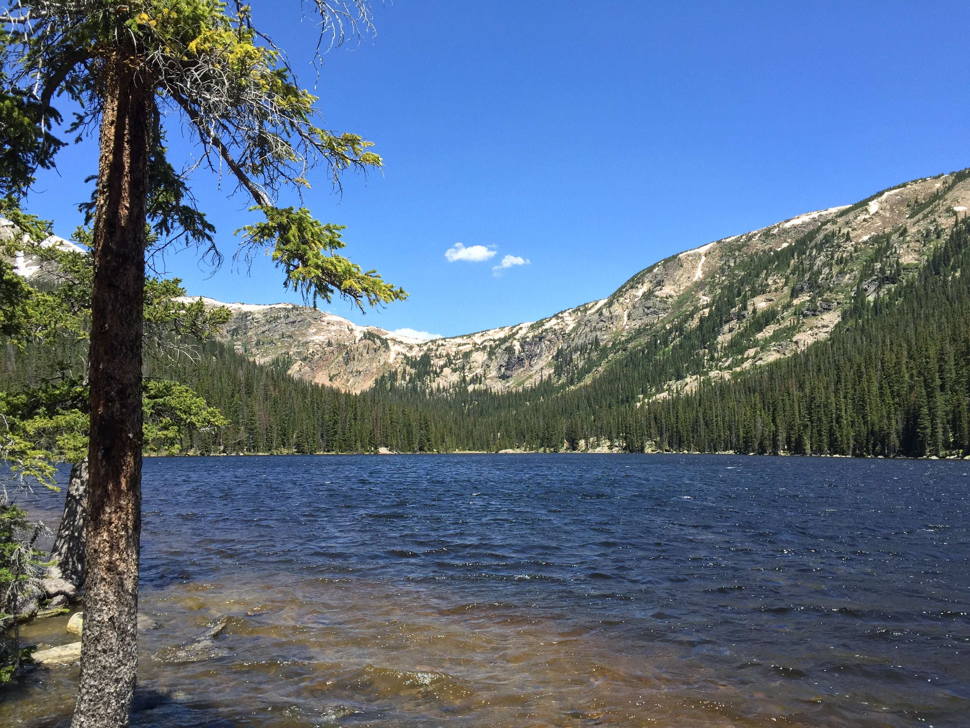
Incredible views of the Holy Cross and Mount Massive Wildernesses can be seen from the area, and visitors are likely to see native wildlife like chipmunks, beavers and porcupines.
The Charles Boustead Memorial Tunnel is a 5.5-mile tunnel that transports water from the Fryingpan and Roaring Fork River Basins through the Continental Divide to the Arkansas River Basin by emptying water into Turquoise Lake.
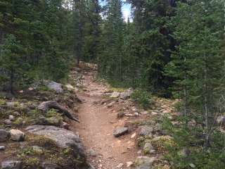
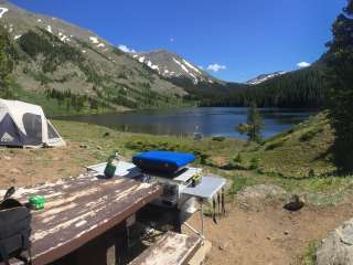
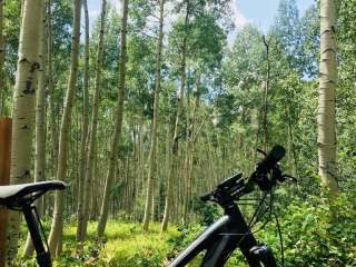
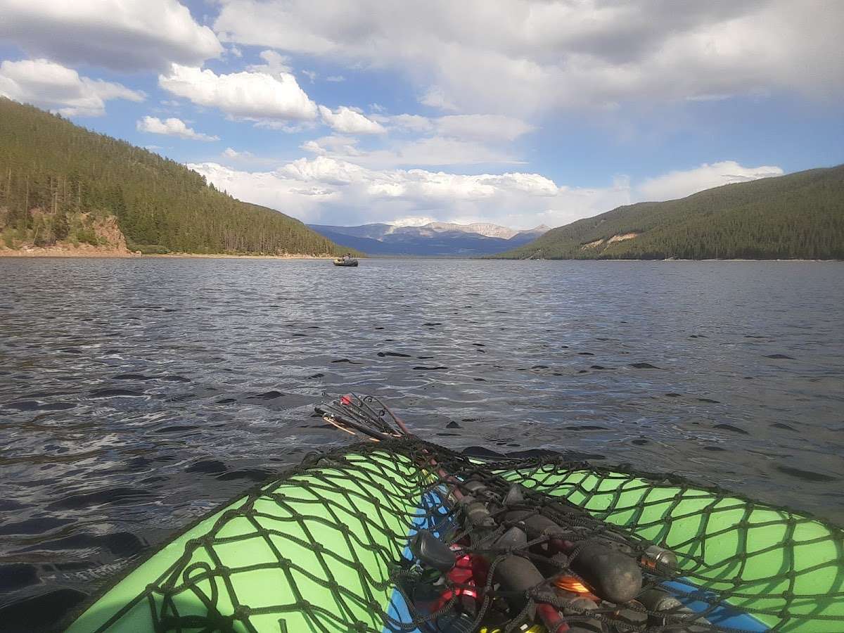
Explore the 6.4-mile Turquoise Lake Trail, which parallels the shoreline of Turquoise Lake from May Queen Campground to the dam. The trail offers moderate hiking with spectacular views and a variety of flora and fauna, as well as remnants of old mines. The Timberline Lake trailhead is 1/2 mile up the road. A 2-mile hike to this lake is rewarded with stunning views and high alpine lake fishing. The Colorado Trail can also be accessed from this trailhead. On Turquoise Lake, sailing, boating and canoeing are enjoyed. Anglers seek out mostly mackinaw and rainbow trout.
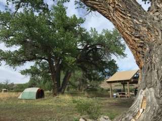
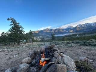
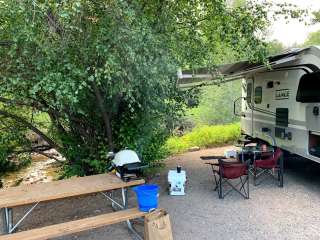
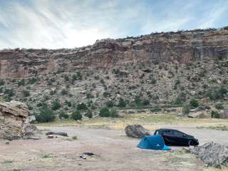
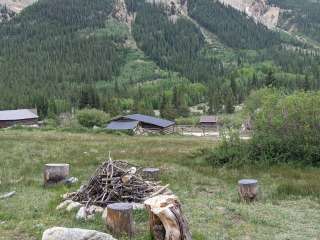
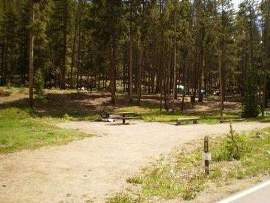
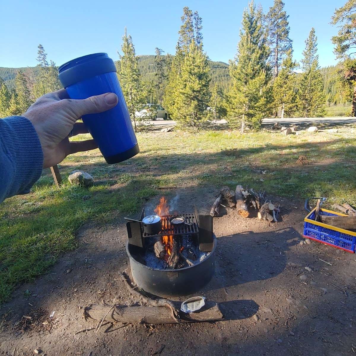
Campground offers single family sites. Each site is equipped with a campfire ring and picnic table. Vault toilets, drinking water, and trash collection are provided. Easy access to the lake is provided for canoes and other hand-carried boats. Trailered boats can use Matchless Boat Ramp located on the east side of Turquoise Lake.
The campground sits at an elevation of 9,900 ft. on Turquoise Lake. Most campsites are situated on a level, open field along a creek, feeding into the lake. Six first come-first, serve-sites are perched on the wooded hillside above the creek.
Nearby is the Mount Massive Wilderness area, a 30,540 acre expanse encompassing Mount Massive, Colorado's second highest peak at 14,421 feet. Much of the wilderness is above timberline with many alpine plant communities and permanent snowfields.
Nearby is the abandoned bed of the Colorado Midland Railroad, built in the 1890s. The trail is hard to trace, but visitors may find artifacts in the gulch it once crossed.
The town of Leadville, a historic gold and silver mining town, is a fun place to explore with the family.
Drive on the Top of the Rockies Scenic Byway to Independence Pass, one of the highest paved passes in Colorado. Continue over the pass to the town of Aspen, a well-known ski resort town.
Cancellations
Individual Campsites: Cancellations up to 2 days before a reservation start date incur a $10.00 cancellation fee.
A visitor who cancels a reservation the day before or on the day of arrival will pay a $10.00 service fee AND forfeit the first night's use fee including tax and applicable add-on for a campsite.
Cancellations for a one-night reservation will forfeit the entire amount paid and will not be subject to an additional service fee.
No-Shows
A no-show visitor is one who does not arrive at a campground and does not cancel the reservation by check-out time on the day after the scheduled arrival date. Staff will hold a campsite until check-out time on the day following the arrival date.
No-shows are assessed $20.00 service fee and forfeit the first night's rate, taxes and applicable add-on for a campsite.
Refunds
Visitors may submit a refund request through their Recreation.gov profile within 7 days of the end date of their reservation. Refunds will not be issued after the 7 days has ended.
Refunds for debit or credit card payments will be issued as a credit to the original bank or credit card used to pay.
For check or cash purchases, Recreation.gov will mail a Treasury check for refunds of cash, check, or money order payments to the address associated with the reservation. Treasury check refunds may take up to 6-8 weeks to arrive.
In the event of an emergency closure, the Recreation.gov team or facility manager will refund all fees and will attempt to notify you using the contact information within the Recreation.gov visitor profile.
From Leadville, Colorado, head west on County Road 4. Continue on the paved road about 9 miles to May Queen Campground on the right.
Extra Vehicle Fee $8.00


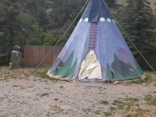
Fantastic place to camp in the summer and fall. It's on the water and your dogs can play. It's a lovely location.

The tent sites inland from the lake and stream on the hill side are very private. Some of the sites in the center or closer to the water are more exposed. Overall, camping at Turquoise Lake was a great experience. Even better if you can bring a boat to explore the lake. Sunset over the lake from a boat is something everyone biding should experience. The May Queen campsite does add significant travel time if coming from the Denver area. It’s at the far side of the lake from Leadville. Add an additional 30 minutes of driving to get around the lake from Leadville.

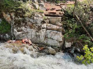
I hate to share a little secret, but this is probably the best campground in Colorado. Not very big, no traffic noise, sky full of stars and just the roar of the river to fill your ears.
The is a great hike along the south side of the river, easy enough for a three year old and long enough that you can make it as challenging as you want.