
By:
Submission
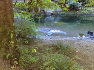
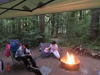
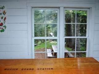
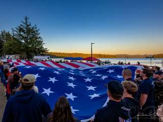
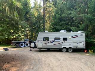
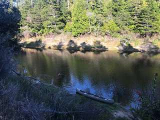
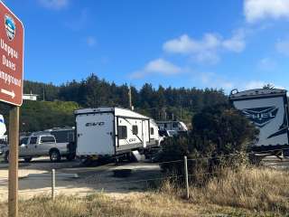
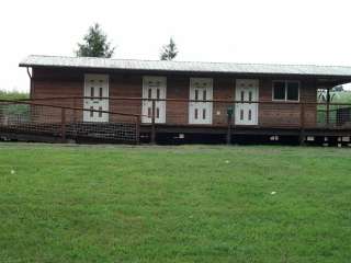
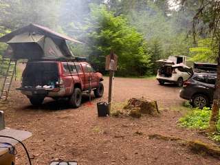
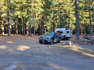
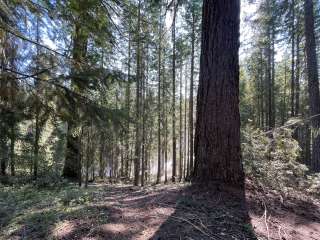
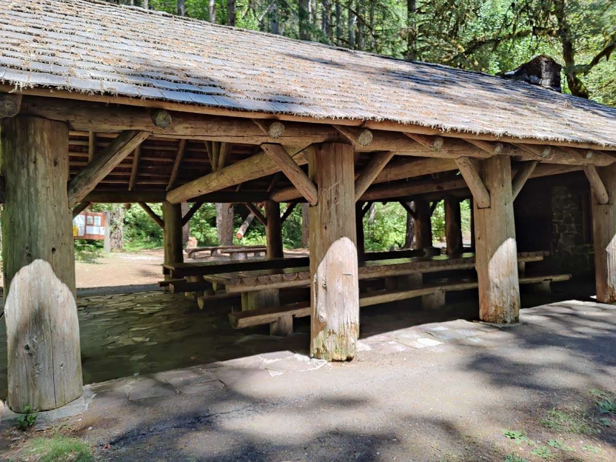
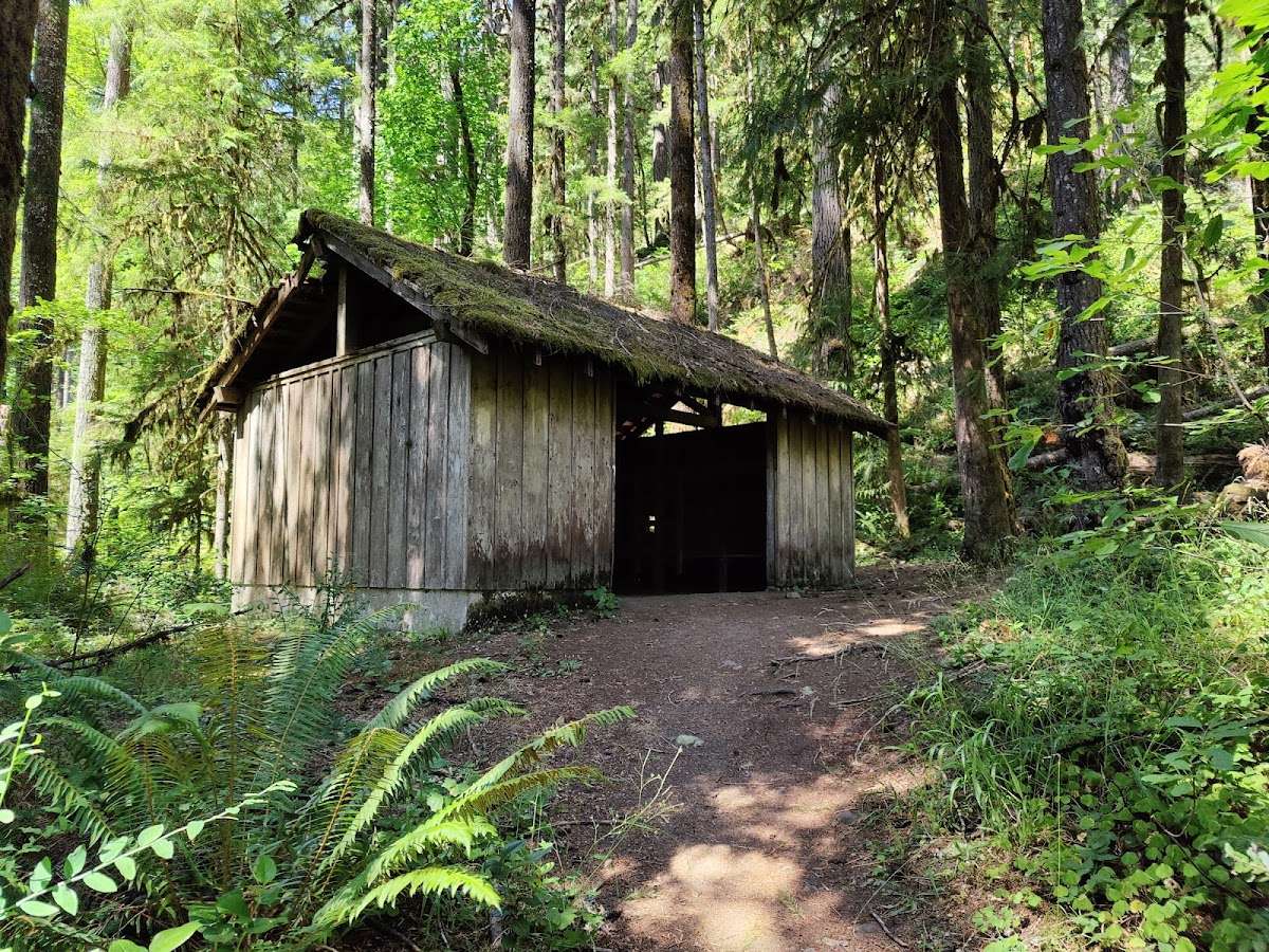
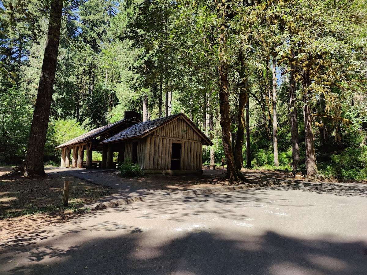
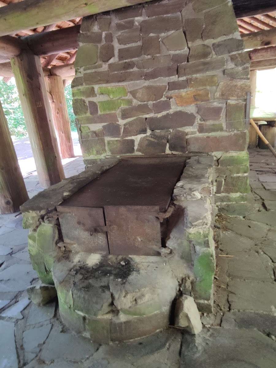
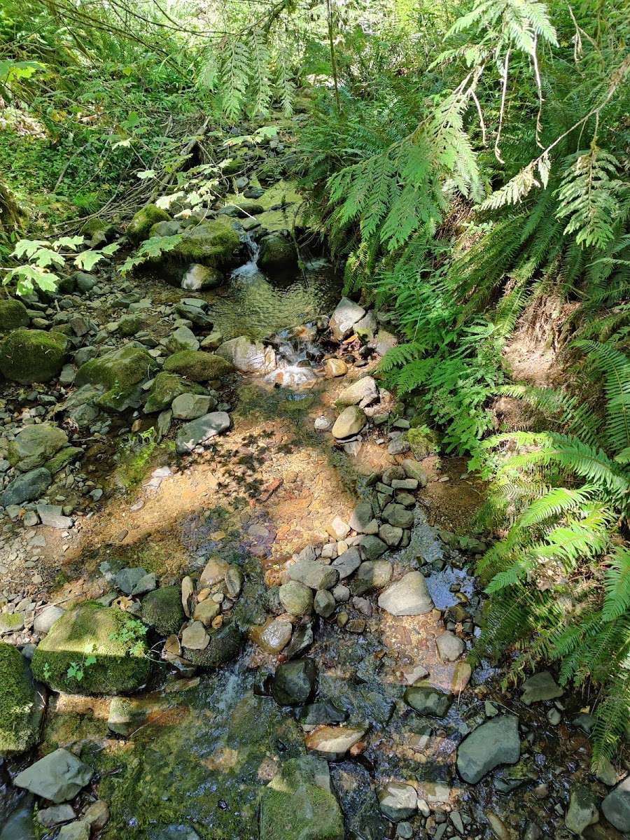
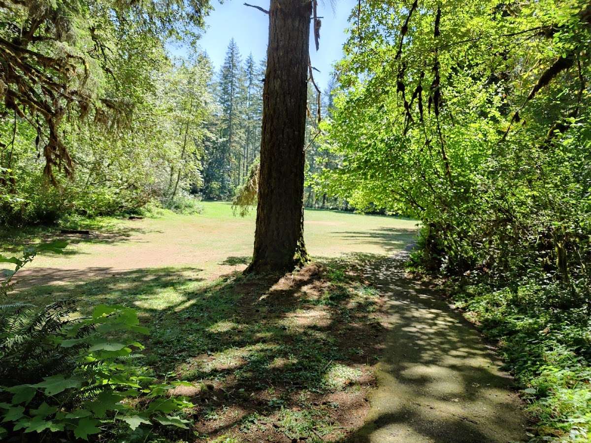
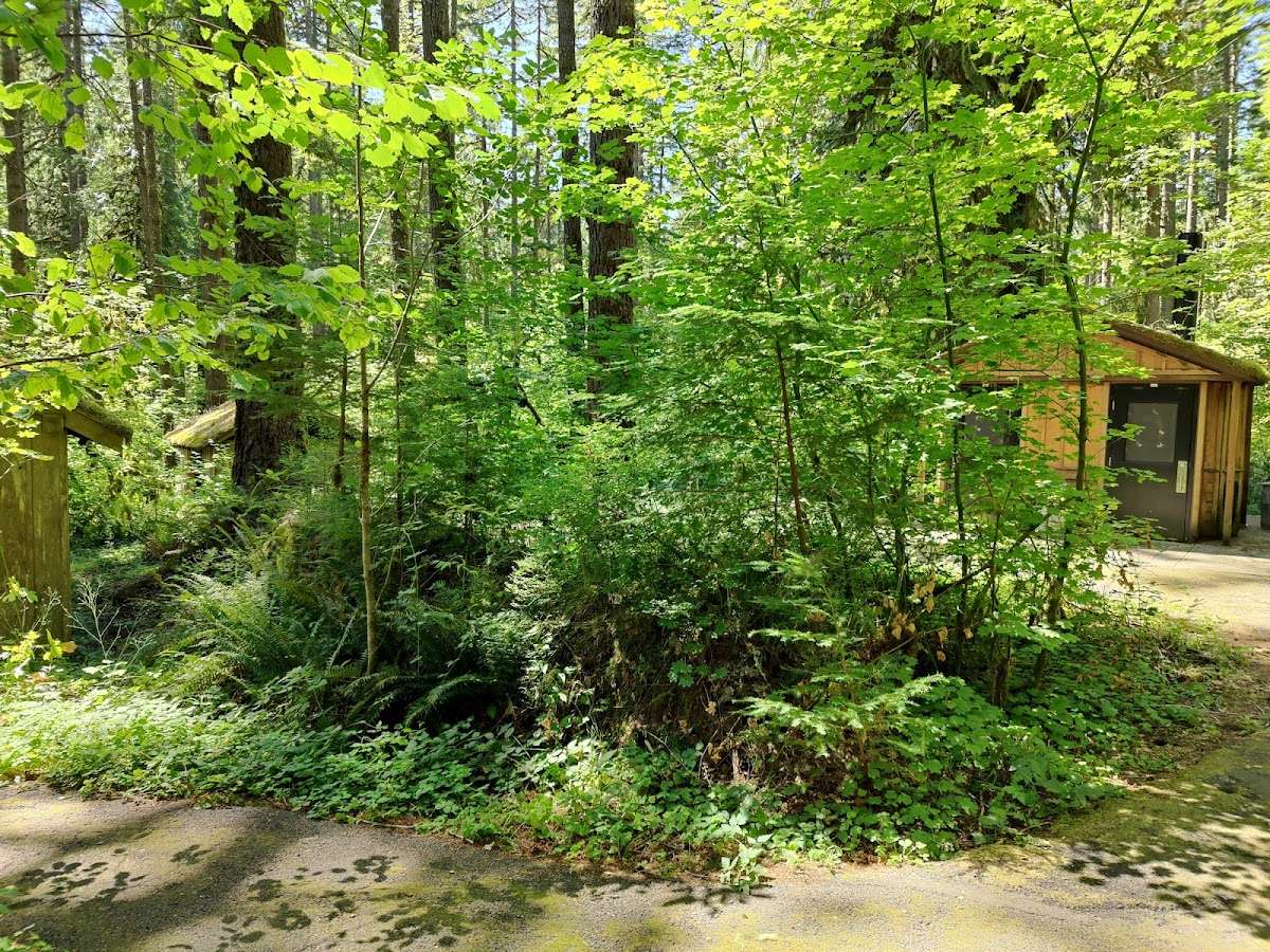
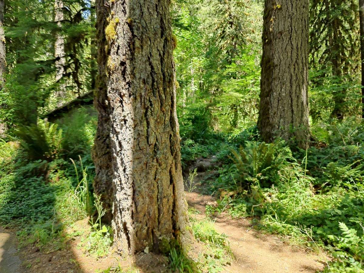
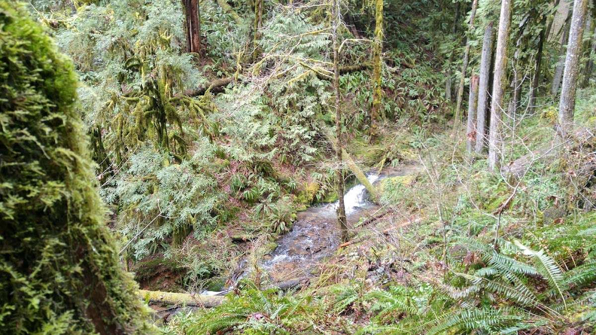
Clark Creek, located 12 miles northeast of Lowell, Oregon, is a fantastic group campground built by the Civilian Conservation Corps. It features five sleeping structures with platform sleeping bunks, plus a large field to pitch tents, play baseball and volleyball or throw a Frisbee. Several hiking and biking trails, swimming areas and open fields offer fun opportunities for large groups with varied interests. Recreation The campground offers a baseball field and horseshoe pits, and a volleyball net can be set up on the field. A few footpaths meander through the recreation area. One connects the sleeping shelters to Big Falls Creek and another links to the Ta-Wa-Si Chapel. The Fall Creek Trail Area is worth exploring, including the Clark Creek Nature Trail. Facilities The day-use area and sleeping shelters, which have eight bunks each, are separated by Clark Creek. Access is over a foot bridge. Up to 125 guests can make use of the group area during the day time, but only 80 guests are allowed to camp overnight. Five sleeping shelters, vault toilets, drinking water, a picnic shelter, campfire circles and an amphitheater are included. Campers can pitch tents in the field as well. Natural Features Clark Creek runs through the campground and connects with Big Fall Creek in the Willamette Valley. Willamette National Forest spans 1.6 million acres on the western slopes of the Cascade Mountains. ADA Access: N
From I-5 south of Eugene, take State Highway 58, east exit. Travel on Highway 58 for 25 miles to the town of Lowell. Take Big Fall Creek Road east 10 miles to the campground. Beginning at the Lowell Junior/Senior High School at 65 South Pioneer Street, head north for 0.1 mile. Turn left at the 2nd cross street onto North Shore Drive. Travel for another 0.1 mile and turn right at the first cross street, which is South Moss Street. In approximately 0.8 miles, South Moss Street becomes the Jasper-Lowell Road. Continue for another 1.0 mile until the four-way stop (opposite covered bridge). Turn right onto Big Fall Creek Road. Approaching the base of the Fall Creek Lake dam, bear to the left after passing Winberry Creek Road (on your right). Note that Big Fall Creek Road becomes Forest Road 18 after crossing the National Forest boundary. Travel for 12.7 miles and the destination will be on your left.