By:
Submission
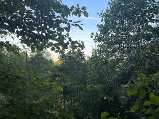
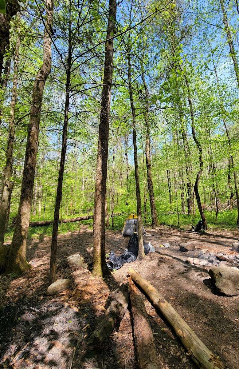
Savage Gulf offers over 70 backcountry campsites across the park. A Permit must be obtained through the park for all backcountry hiking. Sawmill Campground offers eight backcountry campsites with a max occupancy of six per campsite.
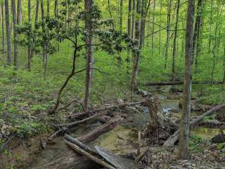
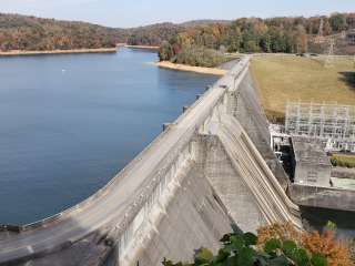
Entering from the Savage Gulf North parking lot; campground is 5.0 miles via the Stone Door, Big Creek Gulf, and Connector trails. Entering from the Savage Gulf South parking lot; campground is 4.2 miles via the Collins Gulf trail. Water is available from Schwoon Spring.
Coordinates listed on CampingInUSA are reflective of park entrance and not the trailhead.


It's a great campsite. FYI, Those who say it's an awful trail should stay home.
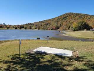
There's no drinking water source close by, take your own water. There's a toilet as well, but no water/paper either.
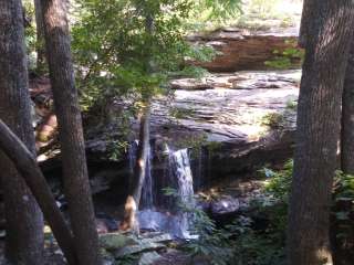
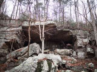
But, if you take right and walk some 3/4 of a mile right after crossing the bridge at the entrance of the campsite, you'll see a signpost, there's a cave with a spring(drinkable water by filtering) coming out. We even walked inside the cave some 50ft, take shoes to walk in the water if you go, cause the rocks are like blades.
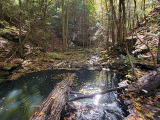
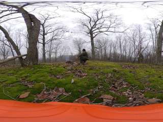
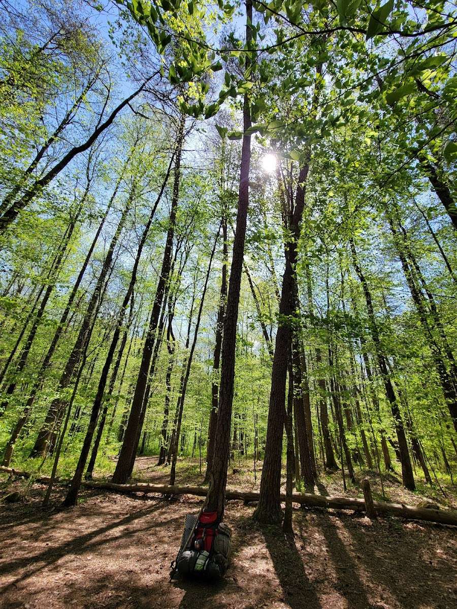
I was backpacking there from Stonedoor Ranger Station to Savage Falls Ranger Station. So for water, I drank from the streams by filtering.
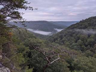
This campsite is about 5 miles(some apps say different but by experience it's 5) from Stonedoor RS and about 12 miles from Savage Falls RS.
If you want to go to Savage Falls/RS from there, there's a path as good as for a 4 wheeler on the North-West of the campsite, do not take that to the get on the Connector trail, we went 3 miles off the trail with our heavy backpacks that way. Walk towards the North from the campsite and find the trail, it's a one-person narrow trail, right next to the campsite, which leads to Stagecoach RH trail to South Rim to Savage Falls to SFRS.
There's no cellphone signal, use Maps.me, an offline map, very precise actually.