


By:
Submission
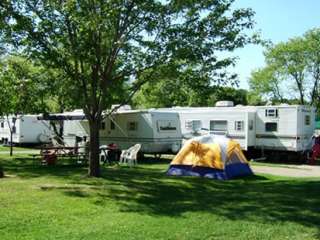
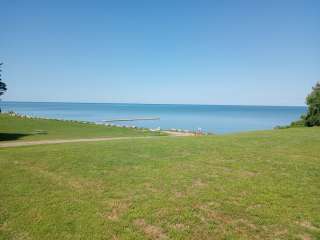
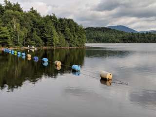
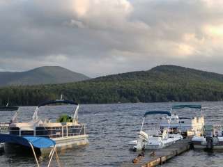
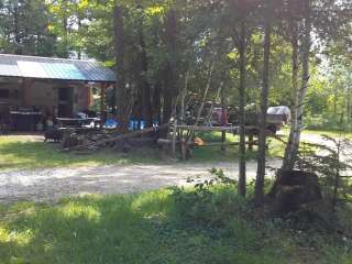
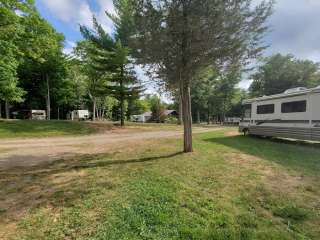
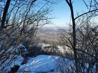
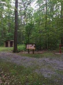
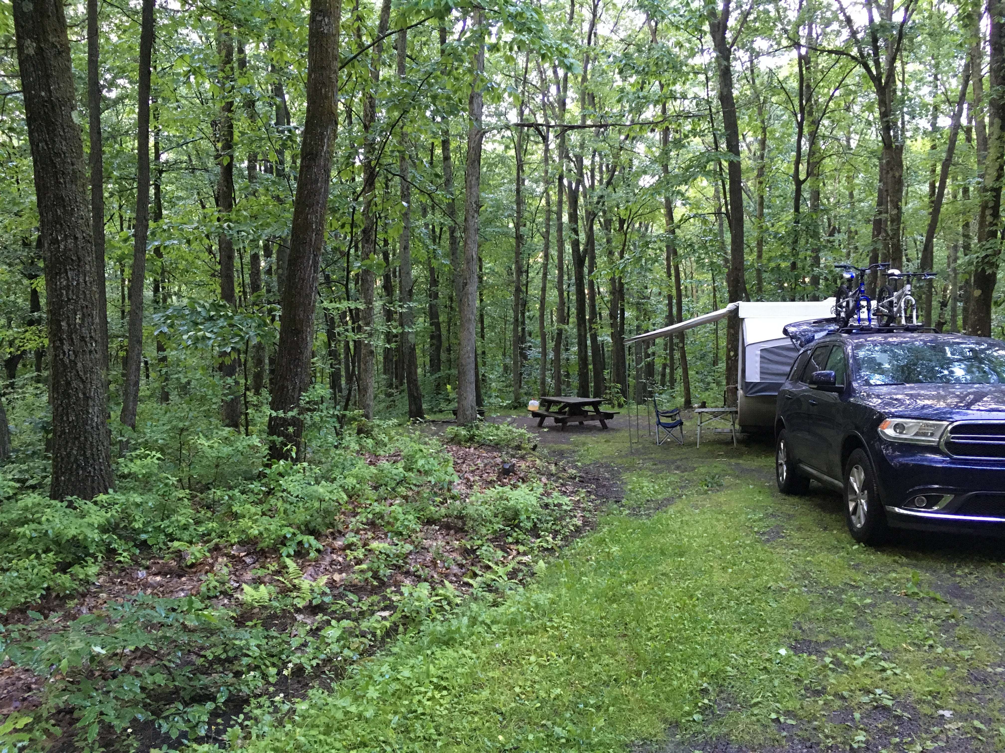
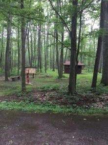
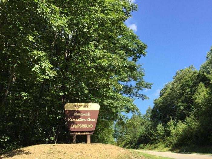
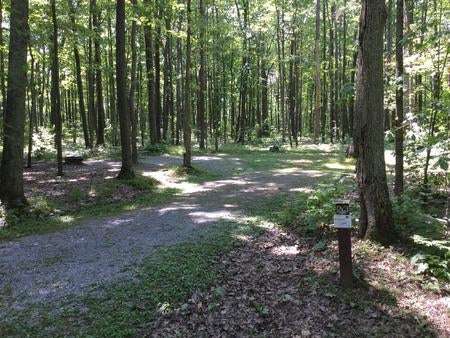
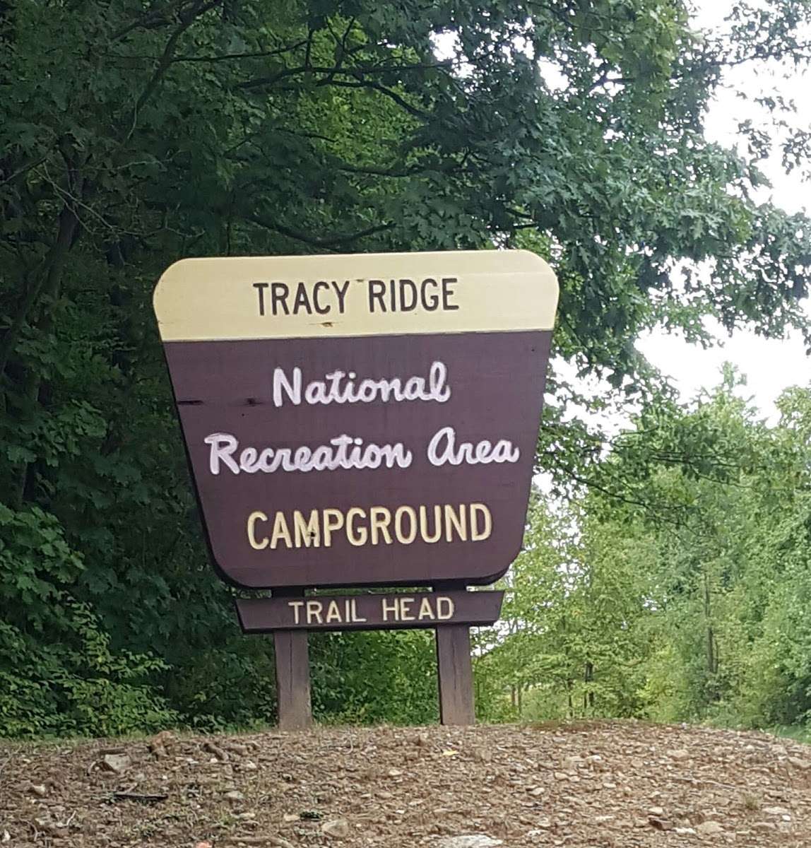
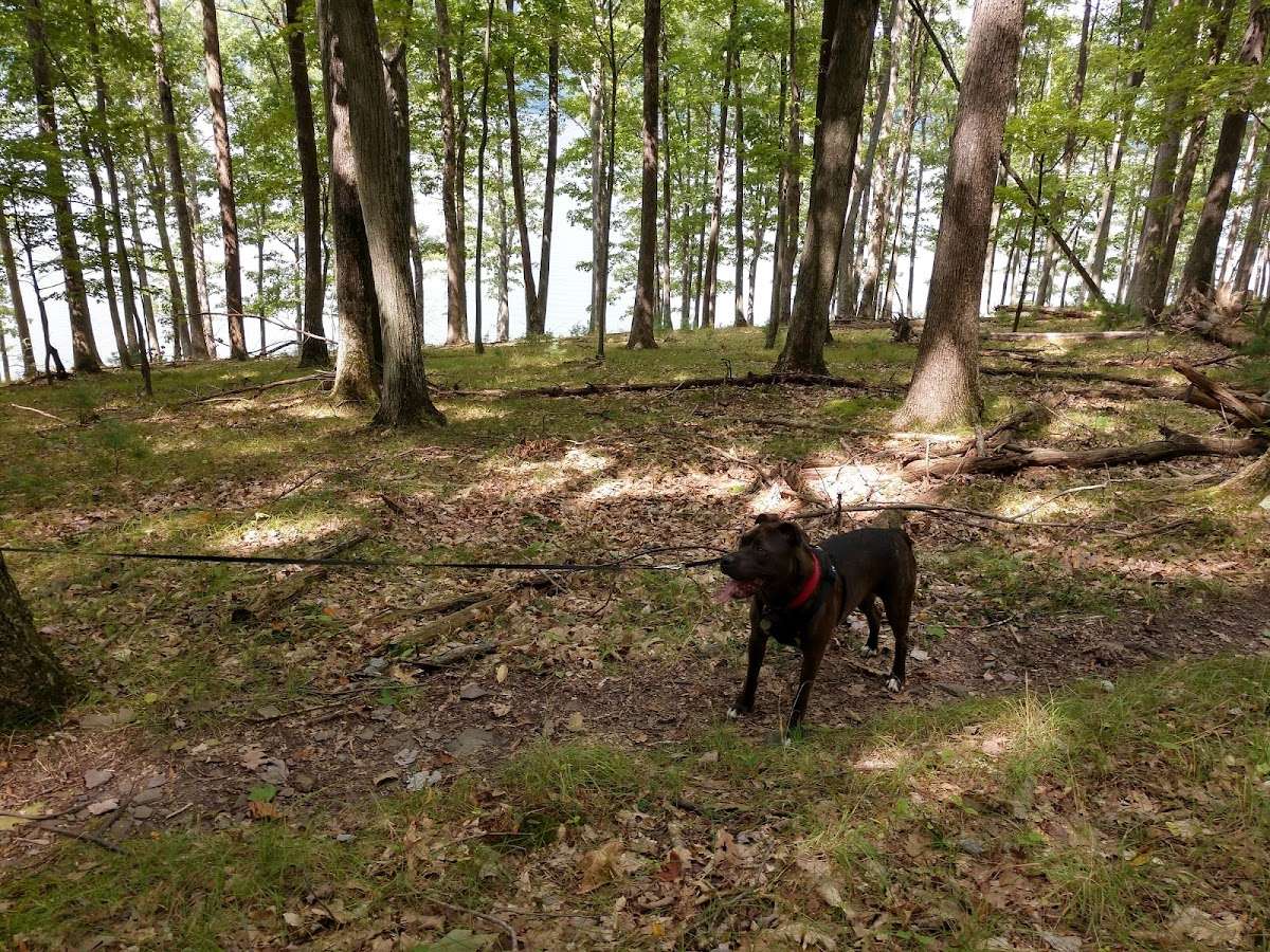
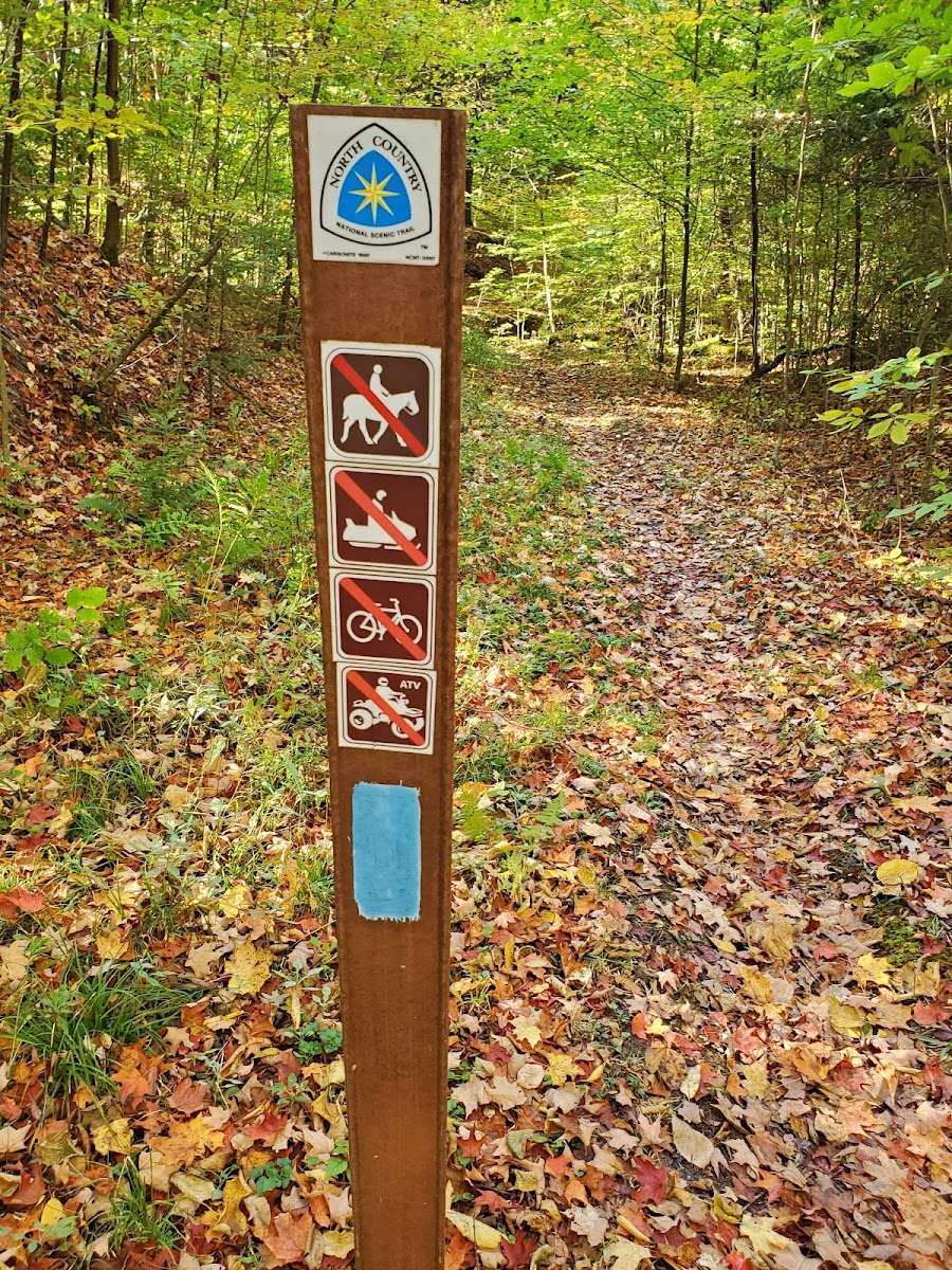
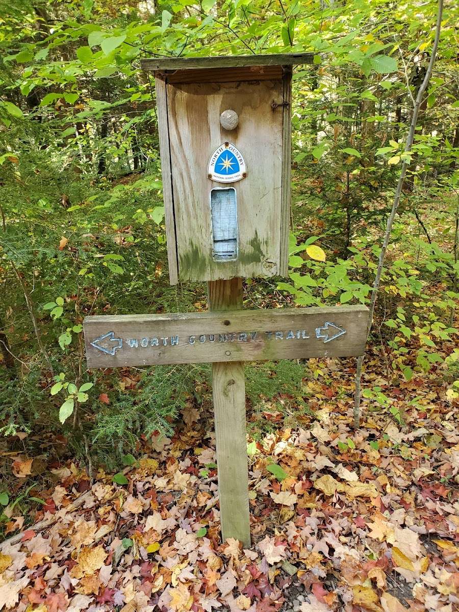
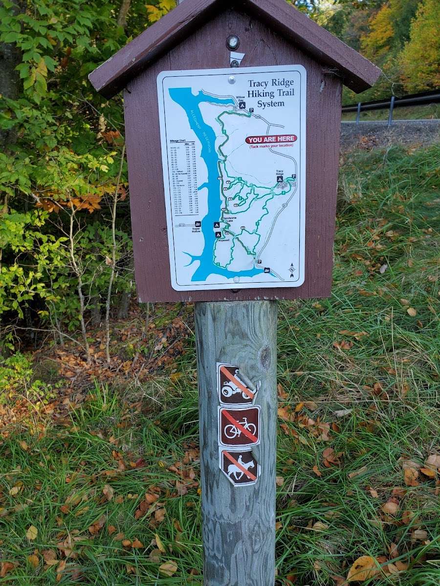
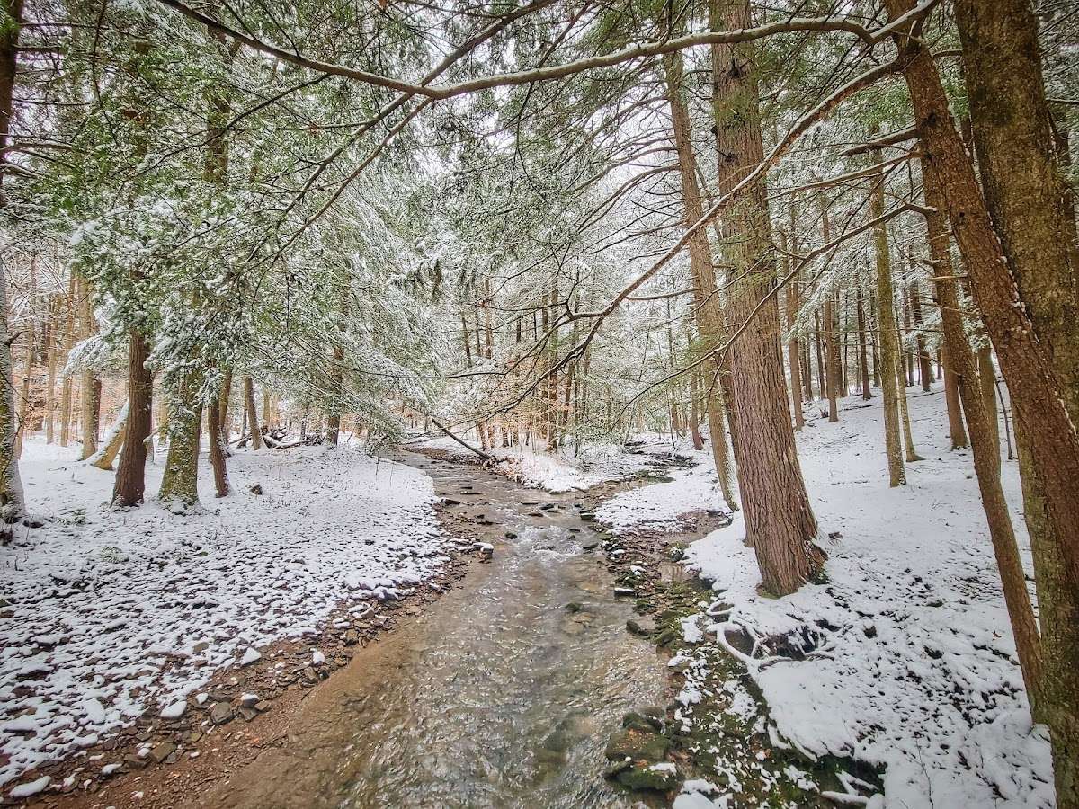
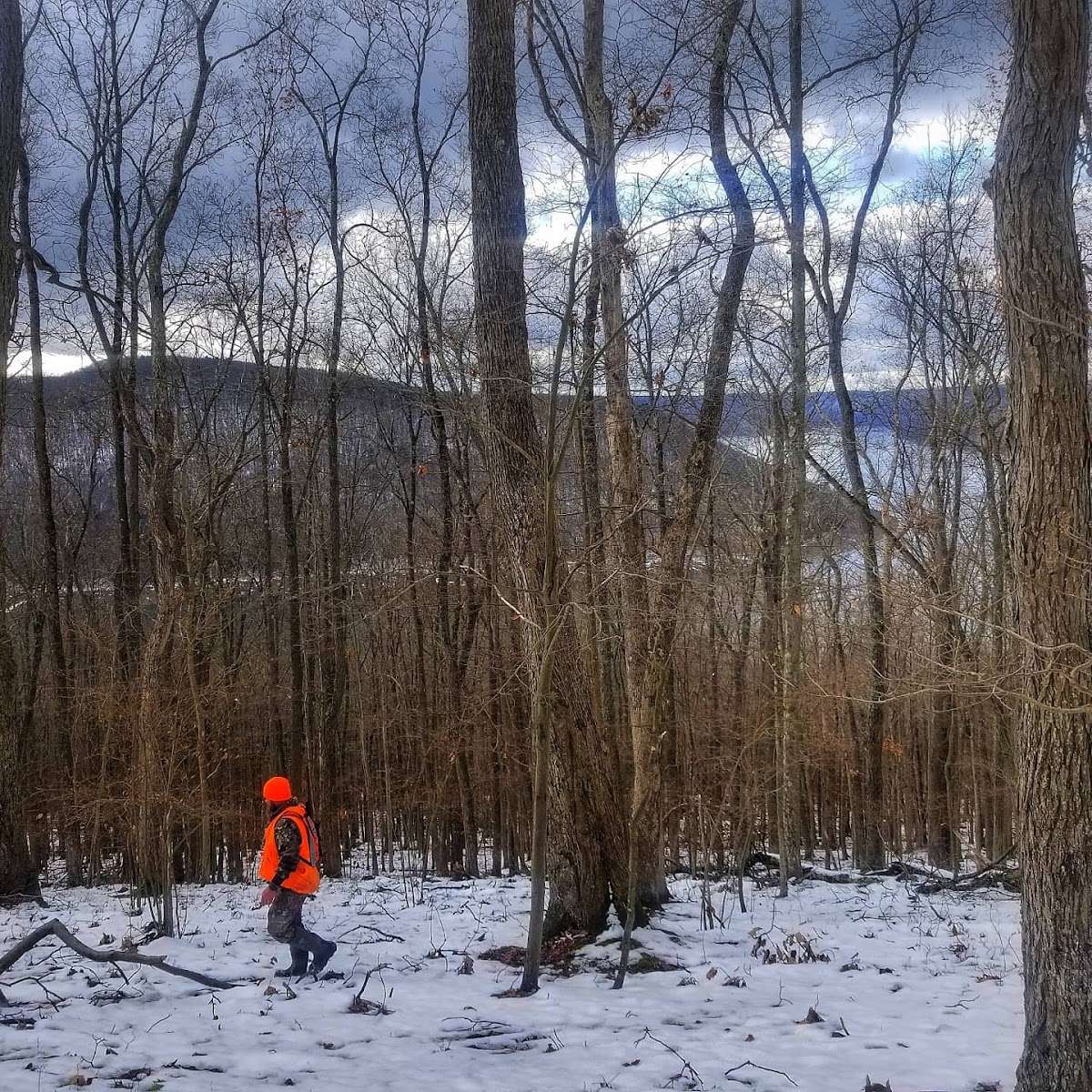
Tracy Ridge Campground is located within the Allegheny National Recreation Area, approximately 15 miles from Bradford, Pennsylvania. Allegheny Reservoir is just minutes away. Hikers enjoy exploring the 33-mile Tracy Ridge Trail System, which inclused 10 miles of the North Country National Scenic Trail. Tracy Ridge campground is operated by Allegheny Site Management under a concession permit. Recreation Hiking and backpacking possibilities abound in the Tracy Ridge Recreation Area. The trail system of interconnecting loops begins at the campground, and offers offers excellent day hikes. The main trail in the system is the Tracy Ridge trail, which circles the campground and drops down to the North Country National Scenic trail before climbing up the ridge back to the campground, making an approximate 16-mile loop. On the ridge above Tracy Run, there are two shorter loops for the less intrepid, and a connector to Johnnycake Trail, which goes from the loop around the campground down Johnnycake Run to the North Country Trail along the Reservoir. Connector trails off the North Country and Tracy Ridge trails lead to two primitive campgrounds on the Reservoir's shores: Handsome Lake and Hopewell. These two campgrounds are only accessed by foot or boat, and - with 3 other boat access campgrounds - are the only legal way to camp along the shore of the reservoir. The Bullis Hollow Trail leads east of the Tracy Ridge Recreation Area, heading for the city of Bradford and the Marilla Trail System on the Bradford Water Authority property approximately 8 miles away. Boat access to the Allegheny Reservoir is nearby at Willow Bay Recreation Area, for developed access, or Sugar Bay for primitive access. Facilities Over 70 spacious, shaded campsites are available, each containing a picnic table, campfire ring, and tent pad. Hand-pumped water, vault toilets, and a dump station are also available. Group sites are available by reserving entire camping loops. Natural Features The campground is situated in a mature oak stand on top of a hill, surrounded by streams and rock formations, at an elevation of 2,245 feet. The Allegheny Reservoir is approximately 5 miles from Tracy Ridge. The Allegheny National Forest covers nearly half a million acres and is populated primarily with black cherry, maple, and other hardwoods. The Kinzua Dam, built in 1965, impounds the Allegheny River to form 25-mile-long Allegheny Reservoir. ADA Access: N
Take State Route 321 north off of State Route 59, or south off of State Route 346.


Miles of hiking trails ranging from easy to quite a workout. It has a large nice campground, and as the name suggests, it is on a ridgetop. Hike all the way to the reservoir (down and up), or join the North Country trail near the reservoir.

Tracy Ridge is a large, well marked, trail system that offers a lot of options. I've done the 20 mile outer loop in the spring and winter.
A great spot to camp is where the trail runs along the Sugar Run inlet of the lake.
Listen for the coyotes howling at each other in the evening.

The trail head is easy to find. The parking lot was level and clean. The trail head was easy to locate.

Having hiked in North America, South America, & Europe, I have not encountered a more unnecessarily convoluted, cumbersome, trail marking system. The trail map is complex if you are trying to hike the various loops. You must be a able to interpret the map & it's absolutely necessary to have a hiking app. We used maps me. Most of the trails are horribly overgrown. No trail maintenance has been done here for years. A chain saw is really necessary. If all you are doing is hiking the main trail down to the water, then it is a straight shot down & back for about 8 miles r.t. This is a guess a there's no map to advise you.

The lake is beautiful. Went swimming. The outer loop was tough and steep. Lots of water to resupply. A bit overgrown in areas. Very surprised we didn't get a tick. God is good.