By:
Submission
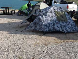
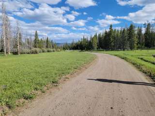
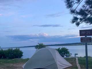
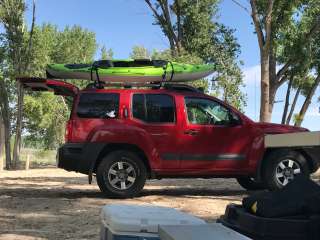
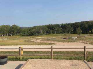
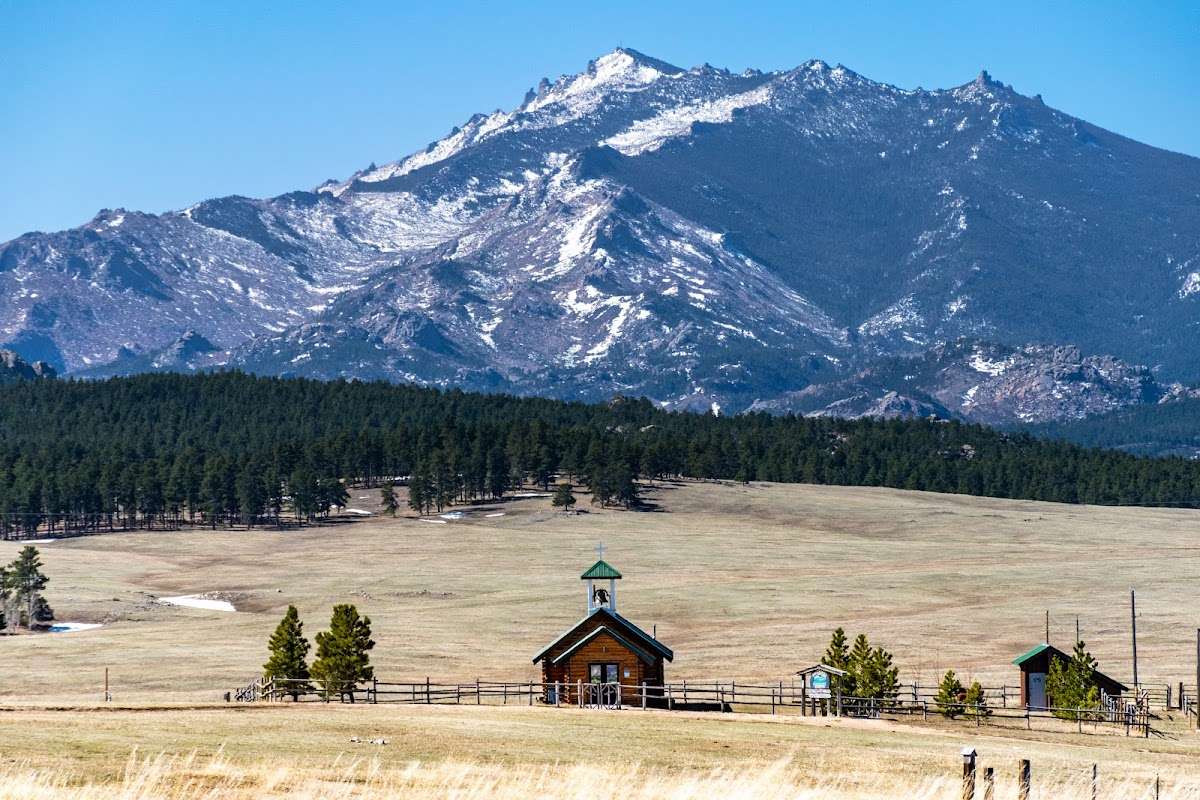
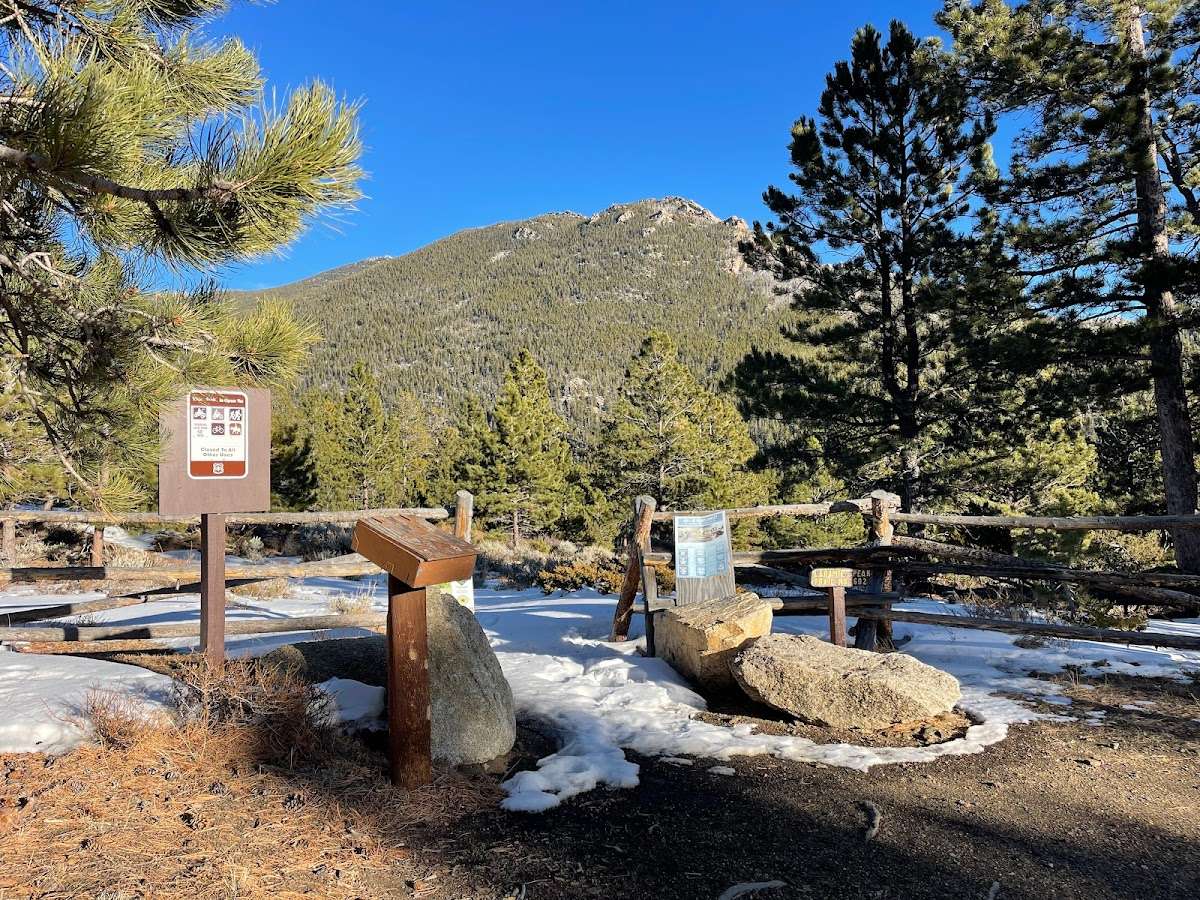
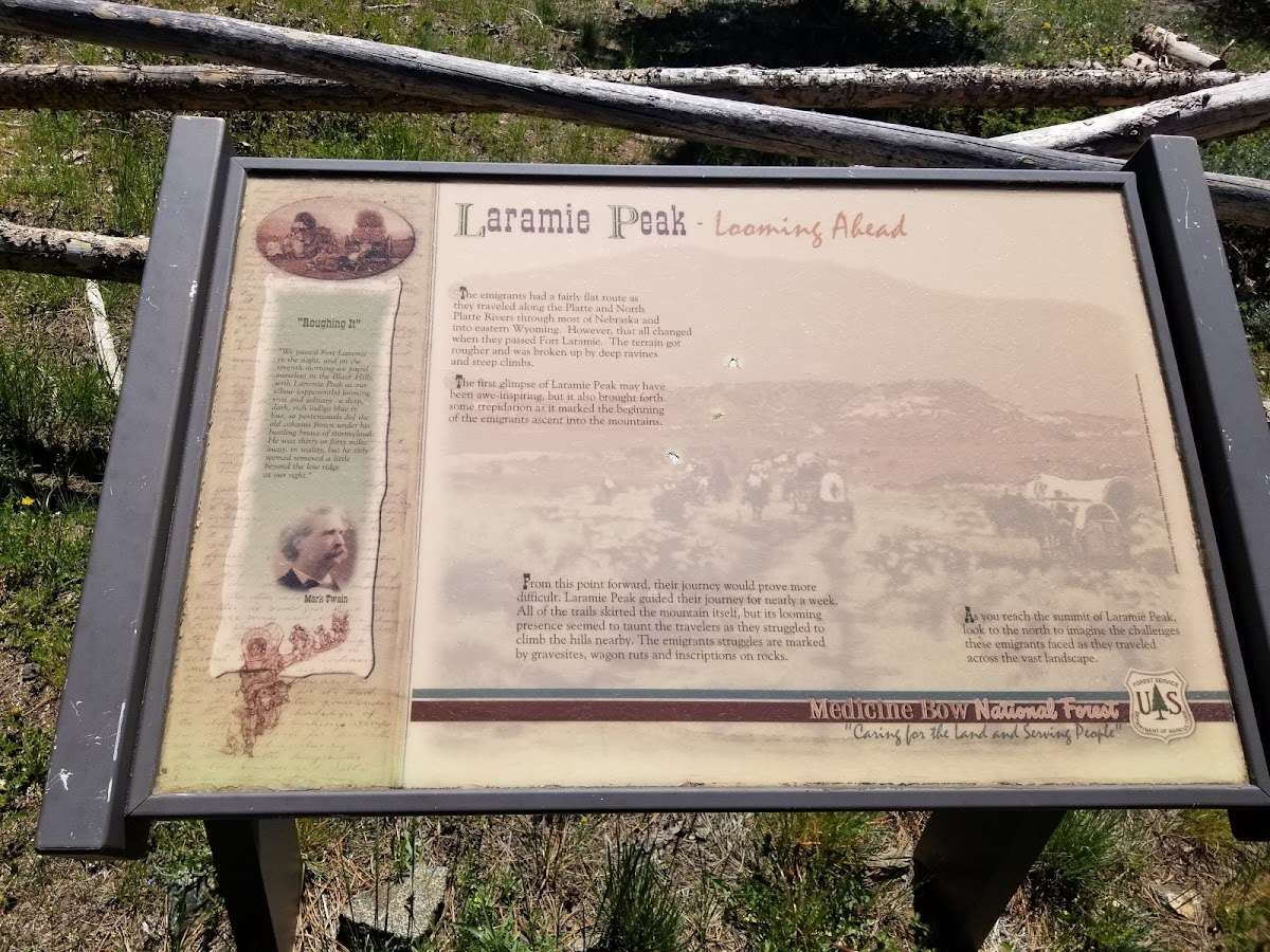
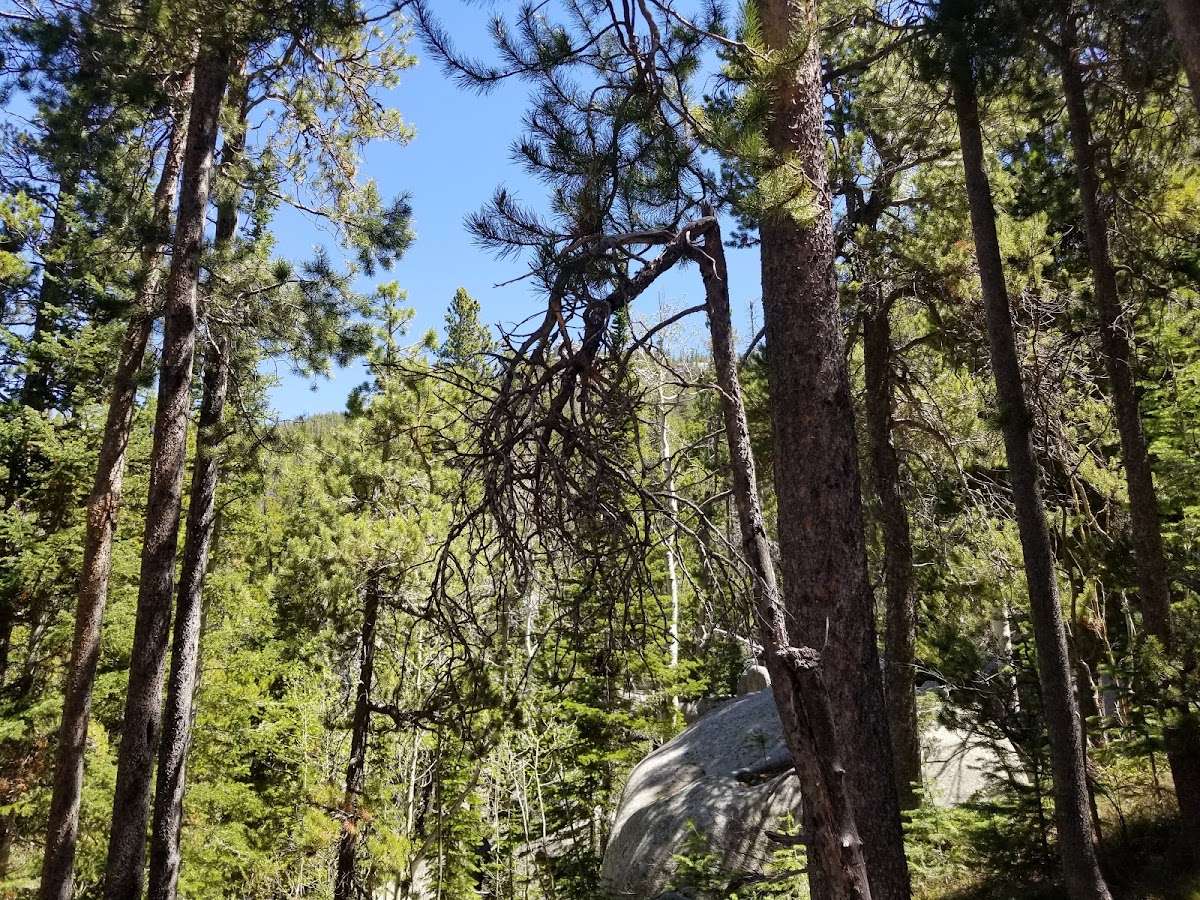
The Laramie Peak area is located in east central Wyoming, stretching from southeast of Casper to west of Wheatland. This portion of the Medicine Bow National Forest is part of the Laramie Range and is dominated by the jagged 10,274 foot crest of Laramie Peak. The Laramie Peak area is managed by the Douglas Ranger District. With nearly 180,000 acres on the Medicine Bow National Forest, the Laramie Peak area offers many public uses and recreation opportunities such as hunting, fishing, hiking, OHV riding, and many others. From I25 at Douglas or Glendo, expect to drive one hour just to get to the National Forest boundary and another half hour to an hour to get where you are headed. Dispersed Camping is allowed on all Forest Service Land in the Laramie Peak Unit, the restrictions are on motor vehicle parking and road access. The Motor Vehicle Use Map (MVUM) identifies what roads are open to the public. From there, you can camp along open roads and trails, parking 1 to 2 car lengths from the road and in selected areas up to 300' from the road (see MVUM) and in either case, you cannot cause habitat damage. After the Campgrounds close (Esterbrook, Friend Park, Curtis Gulch and Campbell Creek), they can be used for dispersed camping. The vault toilet will be open but water and trash services are not available. Please pack in and pack out, limit stays to 14 days and bear in mind that many of the county roads have limited maintenance from November to May.


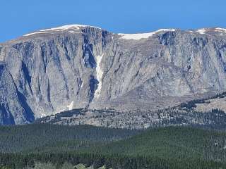
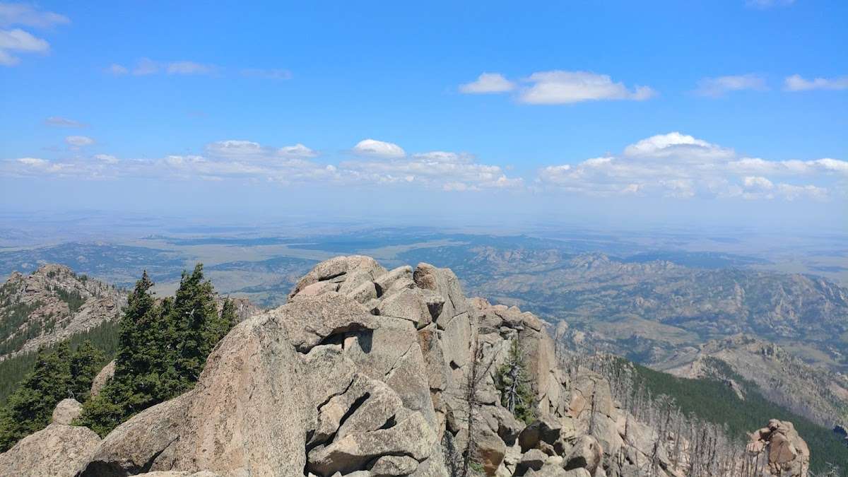
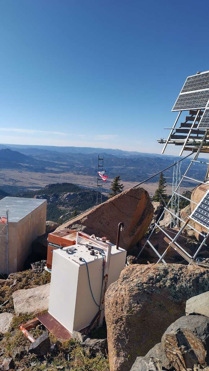
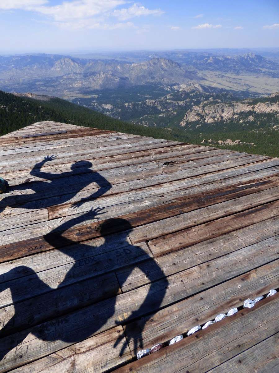
My first time up but it won't be my last. Well worth the 9 Miles in and out. ☺ 10,276'

Incredible hike! The dirt roads to get to the trailhead aren’t too bad, a little bumpy, but any pickup or SUV can easily make it. The climb up is moderate for experienced climbers and probably hard if you’ve never climbed a mountain with over 2,500ft of elevation gain. Saw no other people on trail on a Monday morning. I did see a black bear cub at the summit so be aware of bears in area

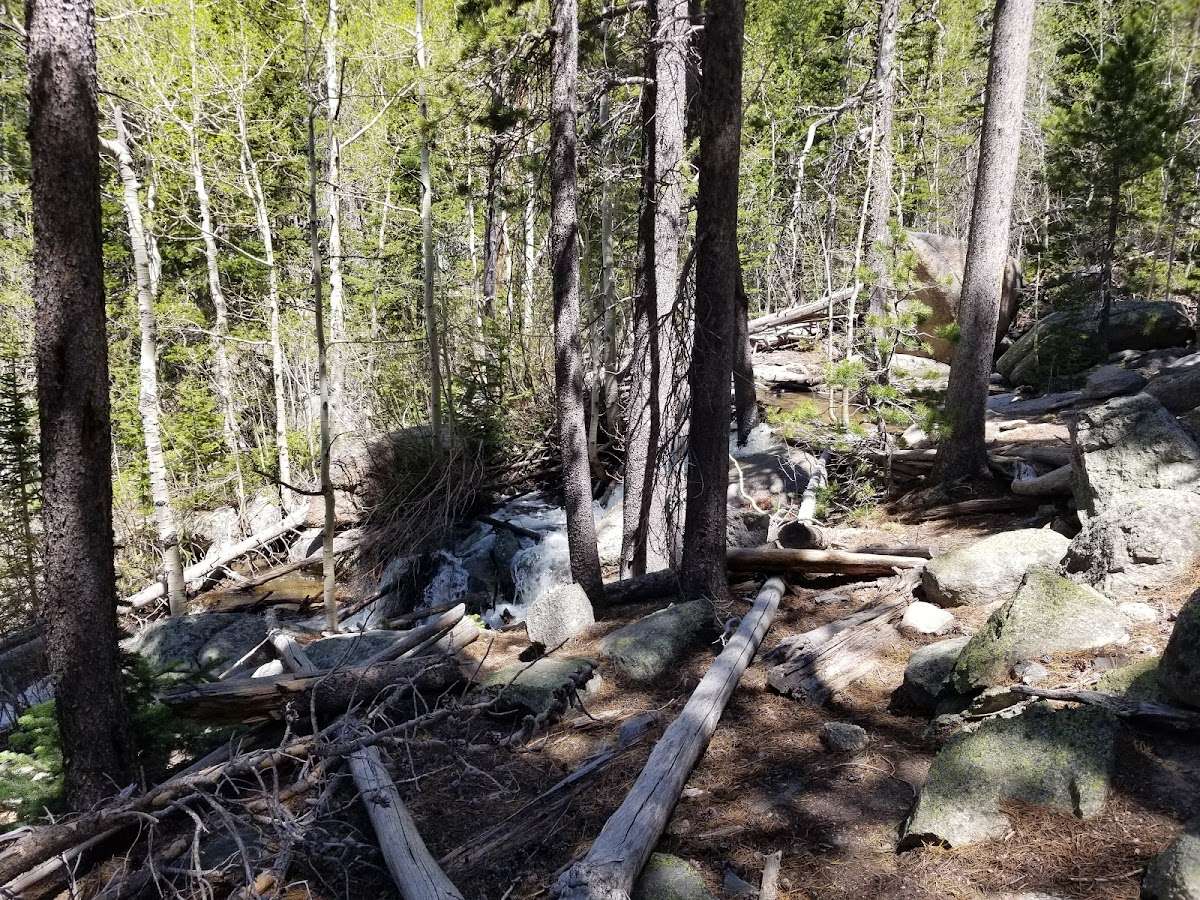
Trail is very easy to follow!
My gps said it was 9.5 miles total with 2,500 elevation gain.
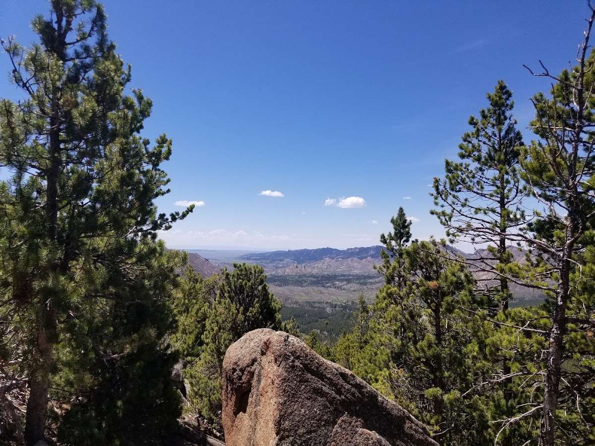
Lots of smoke from forest fires when I did it. Would love to see the views on a day without so much smoke.

An out of the way peak to get to. I did not make it to the summit this time due to snow and daylight but will go back in the spring. Trail easy to follow.

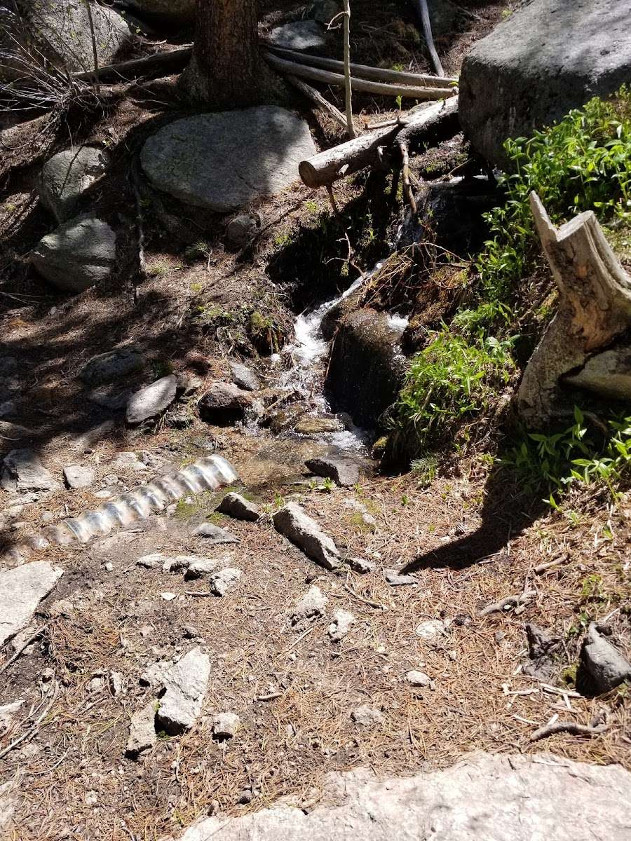
The road to this area is very remote I would not attempt it without a high clearance vehicle as there is a Rocky Road and a creek to cross. The trail is wide and easy to follow but you will def get a workout but the views are great so I think it's an even trade off! It is over 5 miles up and of course same back down. Not for amateur hikers.