Contact Info
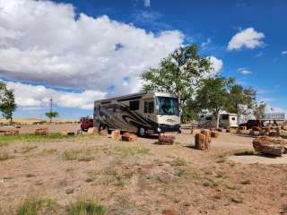
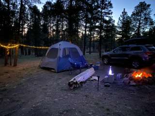
Camping Style
About Campground
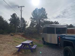
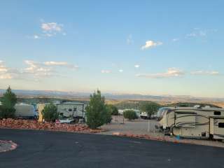
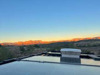
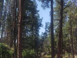
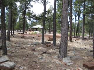
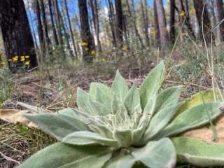
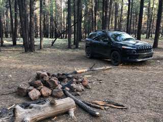
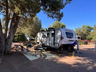
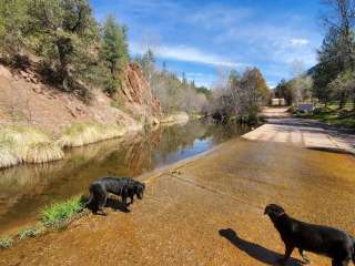
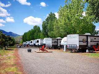
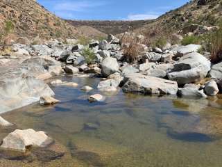
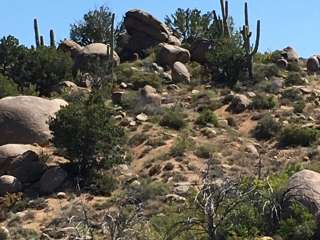
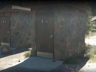
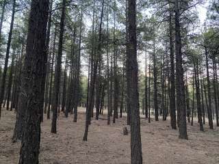
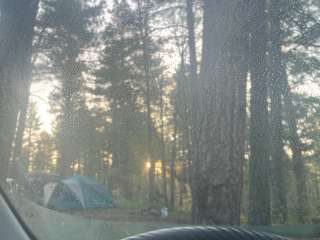
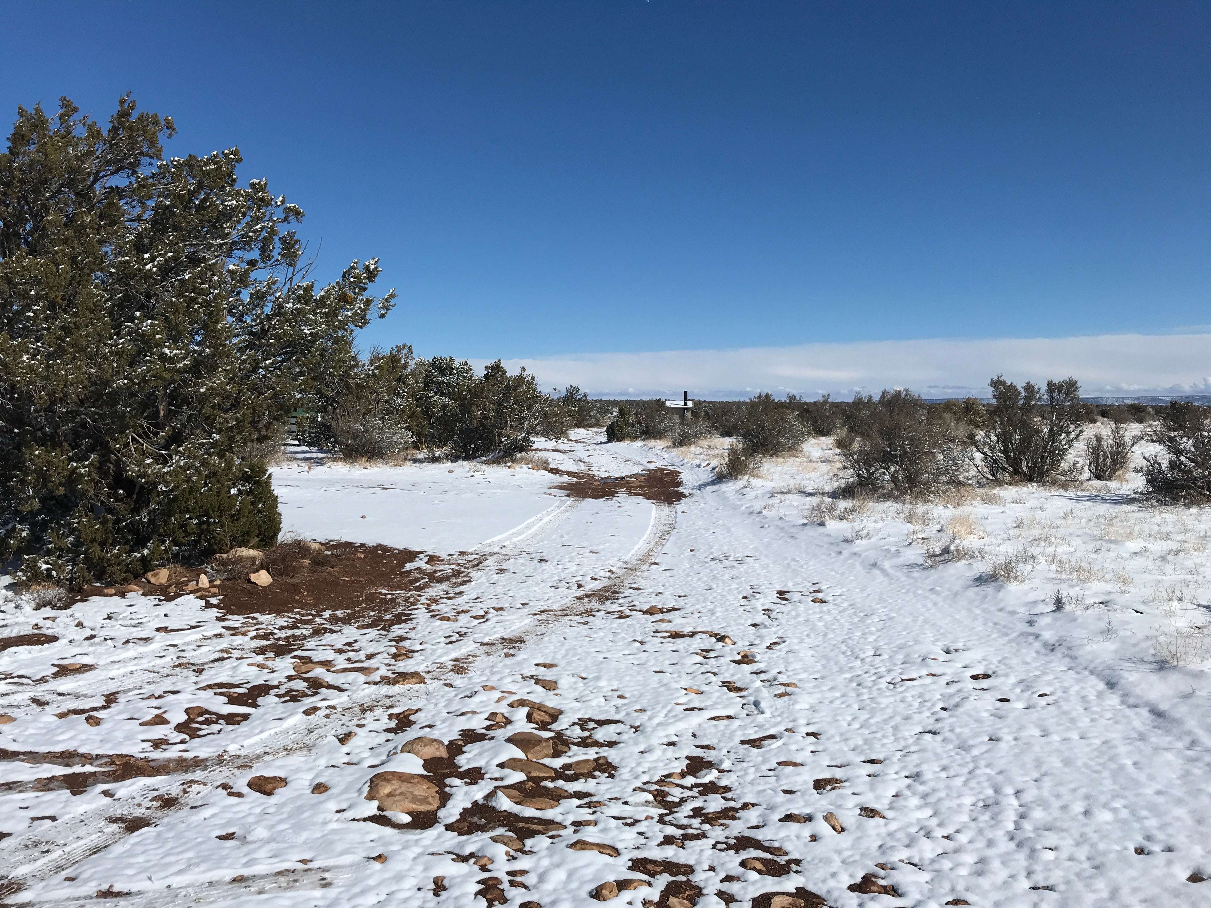
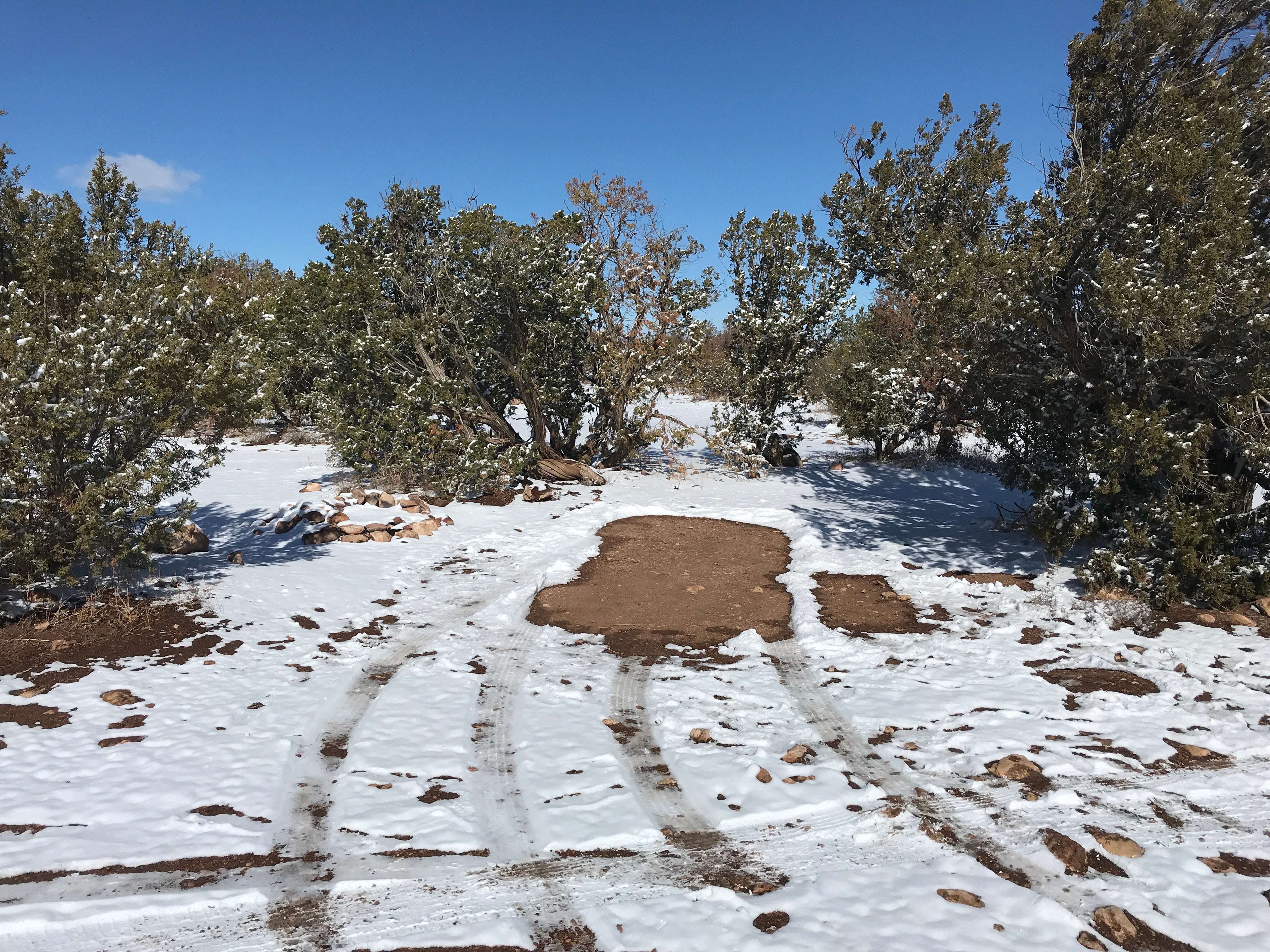
[](http://www.fs.usda.gov/Internet/FSE_MEDIA/stelprdb5305682.jpg) Situated in a beautiful canyon where water has carved the rock, Jack’s Canyon offers vertical to wildly overhanging routes on compact stone. The majority of the climbing is characterized by steep highly pocketed limestone/sandstone mix cliffs. Route length varies from short “bouldery” twenty foot routes to long “pumpy” routes around seventy feet. On vertical walls, the rock can be bubbly with edges and blocks. If you want to find fun and safe sport climbing on the Coconino National Forest, this is your place. Sport climbing, focused on movement and safety offers the opportunity for large dynamic moves on well protected routes. Fixed anchoring systems here keep climbers safe while minimizing impact to the rock compared to traditional anchoring systems such as pitons and trees. Jacks Canyon boasts 300 routes of what some consider being some of the best sport climbing in the country. Jacks Canyon is a great collaboration between the National Forest and the rapidly growing user group of rock climbers. The roll-over photos here are from the top of the rim overlooking climbing areas and at the bottom at the creek. **Camping** : The camping is free and unimproved at the canyon rim, where a 10 minute trail gets you to the routes. Please camp at obvious sites. **Weather** : The Weather is great year round with spring and fall offering the best conditions. In the summer you’ll be chasing the shade with temperatures rising to the 90’s F. During the winter, temperatures can get down to freezing and can be snowy, but the sun warms the rock. Chase the sun and you’ll be climbing in tee-shirt and shorts. Watch out for late spring and summer monsoon floods. **Attractions** : Climbing, Hiking, Wildlife viewing **Facilities** : Toilet (vault type), NO water or trash services (Pack-it-In, Pack-it-Out)
Directions
**Location** : 30 miles south of Winslow. Elevation approximately 6,100 feet.
**GPS** ([Map](https://goo.gl/maps/OjIrj)): 34°45'20.2"N 111°03'41.3"W
**USGS Map(s)** : Dane Canyon, Blue Ridge Reservoir
**Access** :
* **From Winslow:** Take SR 87 south from I-40 approximately 30 miles to mile marker 314. Continue 0.3 mile to dirt road on right. Close gate behind you and follow directions below.
* **From Phoenix:** Take SR 87 north towards Payson. From Payson, continue on another 60 miles (approximately) towards Winslow to mile marker 313. Continue on 0.7 miles and turn left on dirt road. Close gate behind you and follow directions below.
* **Gate Directions**
1. Drive 0.3 mile and turn left at the obvious fork
2. Drive 0.2 mile and turn right
3. Continue 0.7 mile to trailhead and campground (total 1.2 miles from gate). You'll see gravel parking and the camping spots will be to your left (same side as toilet)
_**Click map thumbnail for larger view.**_
[](http://www.fs.usda.gov/Internet/FSE_MEDIA/stelprdb5305673.jpg)
Access


Accommodations


Features

Amenities

Essentials