


By:
Submission
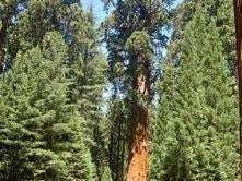
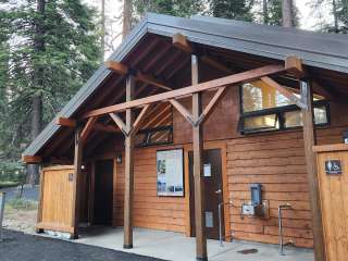
Many people enjoy the solitude and primitive experience of camping away from developed campgrounds and other campers. Dispersed camping is the term used for camping anywhere in the National Forest OUTSIDE of a designated campground. Dispersed camping means no services, such as trash removal, tables, or toilets. There are extra responsibilites and skills that are necessary for dispersed camping. Camping rules and regulations apply to make your experience safe, and to keep the natural resources scenic and unspoiled for other campers.
Most of the land in Inyo and Mono counties is publicly owned. Dispersed camping (camping outside of designated campgrounds) is allowed throughout much of the area. If you plan to backpack into a wilderness area to camp, you will need a wilderness permit, issued at Inyo National Forest visitor centers. If you wish to camp outside of developed campgrounds/sites, there are a few things you need to know:
Land Ownership: The three major land-owning agencies in the Eastern Sierra are the Forest Service, the Bureau of Land Management, and the City of Los Angeles. Dispersed camping is allowed on most Forest Service and BLM land. However, camping is prohibited on land owned by the City of Los Angeles.
Maps: Anyone planning a dispersed camping trip should invest in a copy of the Inyo National Forest map, which depicts land ownership as well as roads, streams, trails and other features. The map also shows “restricted use areas” where dispersed camping is not allowed.
Restricted Use Areas: Certain high-use recreation zones, including those along paved roads leading into the mountains, are not open to dispersed camping (see Inyo National Forest map). Dispersed camping is not allowed in the following areas: Horseshoe Meadow, Onion Valley, Big Pine Creek, Bishop Creek, Rock Creek, McGee Creek, Convict Lake, Mammoth Lakes, Reds Meadow Valley, June Lakes Loop, Lee Vining Canyon, Lundy Canyon, Ancient Bristlecone Pine Forest, and any research area.
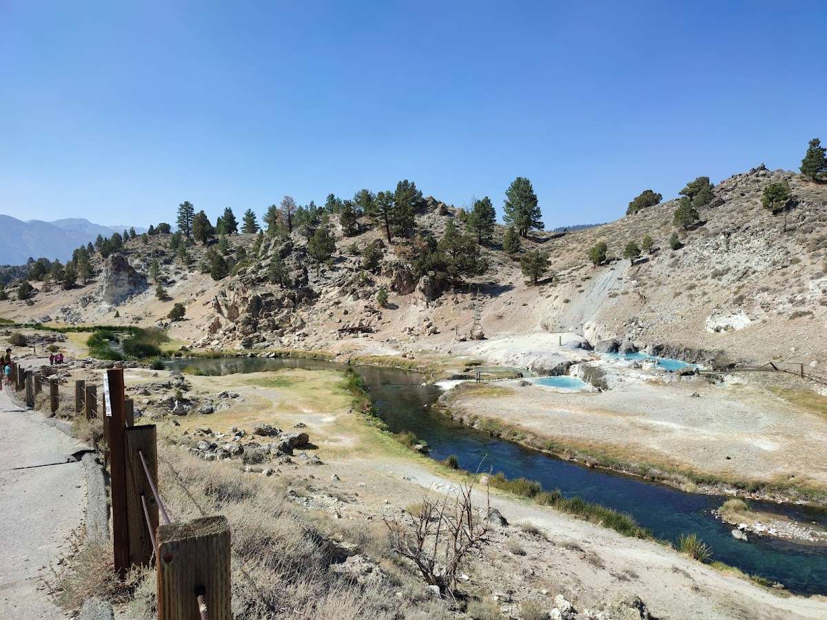
Owens River: All land along the Owens River is owned by the City of Los Angeles, and is closed to camping.
Length of Stay: On Inyo National Forest land, you may camp up to 28 days per six months on any one ranger district (there are 4 ranger districts on the Inyo –Mt. Whitney, White Mountain, Mammoth, and Mono Lake). Always check with your local ranger station.
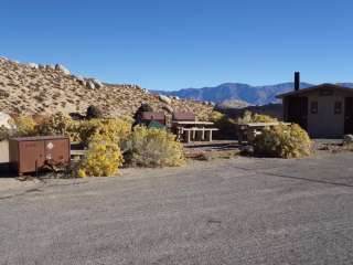
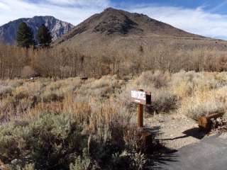
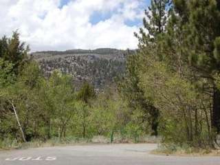
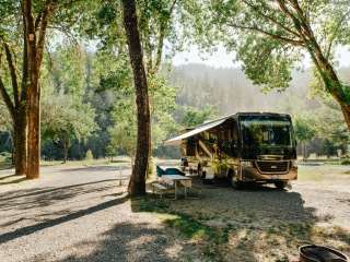
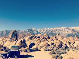
Locating a Dispersed Campsite: Look for an area at the end of a spur road or a pullout that is clear of vegetation and has a hard, compacted surface. These sites might have a primitive fire ring. Stay on established roadways; do not drive off-road to camp. Try to select a campsite at least 100 feet from lakes and streams.
Campfires and Fire Permits: If you plan to build a campfire or use a barbeque or camp stove, you must obtain a campfire permit from a Forest Service, BLM, or CalFire office. You must have a shovel and a container of water (for drowning the fire). Clear an area least 5 feet wide all the way around your fire ring down to mineral soil. During times of high fire danger, camp fires are prohibited; always check with the local fire office or ranger station for fire restrictions.


💥Oct 17, 2023《Misty Falls & South Lake 1👍 peek 》
💥 Oct 18, 2022 《North campground 👍 peek》
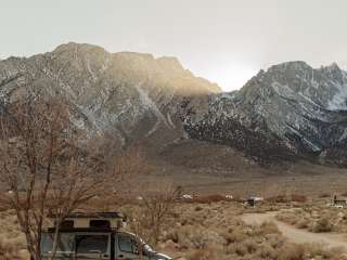
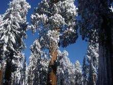
💥 Oct 12, 2021 《Sabrina & North 👍peek》☃️ I didn't expect it, but last night (10/11) the first snow fell. 📸
🎰 The situation right now is dreamlike luck. 🍁👍☕
🗻🍁The white snow and yellow leaves are fantastically beautiful
🗻 North Lake. 🍁 Sabrina Lake.
🐟🛶 Intake To. 🏡 Aspendell.
🧥🥾 South Lake. 💧Misty Falls.
🍁🚘 I think the maple leaves will be pretty until the end of October. 📸☕☃️🌈🍂...‼

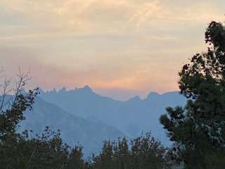
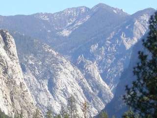
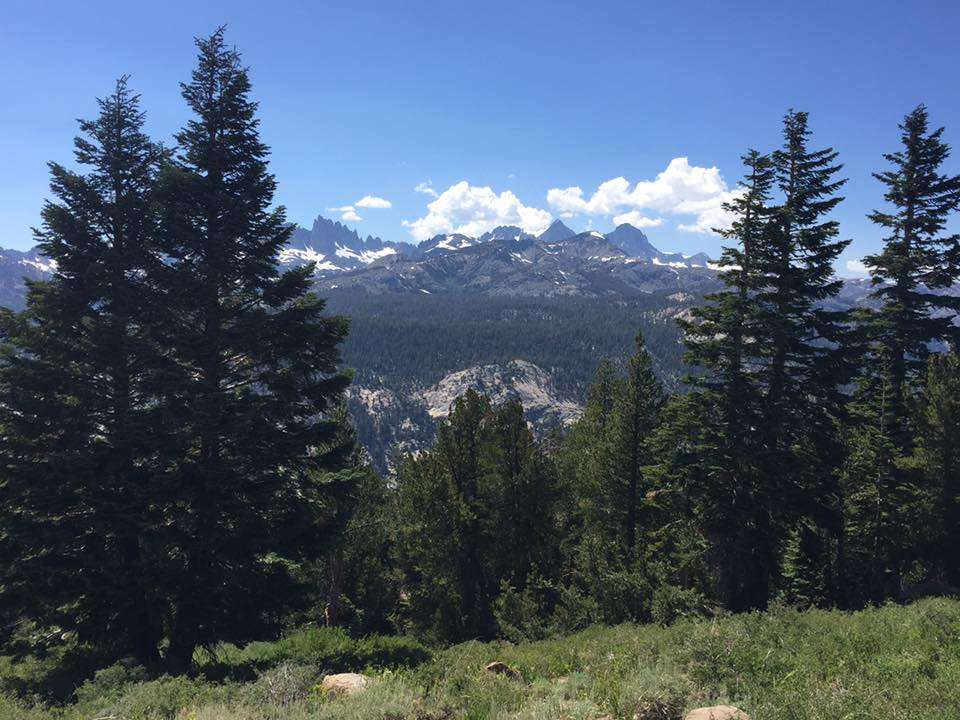
Gorgeous area. Has it all: beautiful mountains, raging snow melt "rivers," abandoned mines, birds, animals, canyons, sunsets.. Perfect to explore with lots of space. Some roads were still closed when I was there end of May/first bit of June due to snow. Lots of camp and RV sites, & pulloffs for taking photos.

Enjoyed it tremendously. So much snow. Nice fresh air. Very relaxing. Couldn't go to any lakes at higher elevation, everything was closed. So beautiful, had a good time showing a co-worker around.

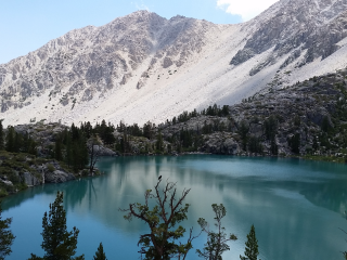
We did the Little Lakes Valley trail and highly recommend it for those looking for a moderate hike. The trail was well maintained and easy to follow. It wasn't too crowded. However, you still had enough people so that you didn't feel isolated. We were able to complete the hike in one day making a few stops at the lakes to take in the view and have a few snacks. Definitely recommend a visit!!

Beautiful locations we have seen in the past 8 years over several visits. I got engaged here as well as spent a beautiful morning atop the peak of mountains. If you get the change please take the time and visit. The stars are beautiful from the wilderness out here.