


By:
Submission
Grayson Lake Dam Site Shelters are just seven miles south of Grayson, Kentucky on state Route 7 on Grayson Lake. Recreational activities abound on and around this 20-mile long lake. Boating, fishing, hiking, horseback riding and hunting are the areas most popular draws.
Grayson Lake is known for its sculptured sandstone cliffs that rise 30 to 200 feet above the lakes surface, providing many narrow, scenic canyons just waiting to be explored.
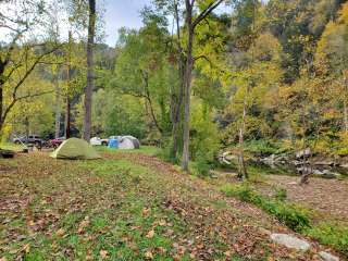
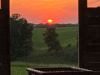
The gently sloping landscape around the lake is forested with a mixture of oak, white and yellow pine, elm, and Kentuckys state tree, the Tulip Poplar. Fall colors are particularly impressive at Grayson Lake.
Visitors flock to Grayson Lake for its numerous recreational opportunities, including boating, canoeing, swimming, and fishing for bass, crappie, catfish and bluegill. A marina is located at the dam site for convenient boat storage.
Hikers enjoy the Api-su-ahts Trail, with four loops totaling over 22 miles. The trail offers scenic views of the lakeshore and mature hardwood forests as it winds through creek bottoms, hollows and ridgetops in the more secluded region of the Wildlife Management Area east of Grayson Lake.
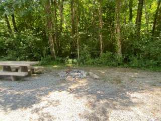
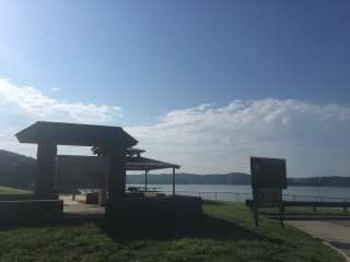
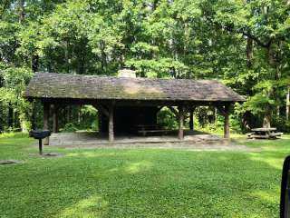
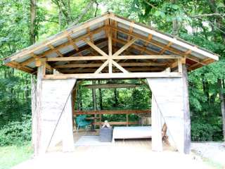
This site contains four group picnic shelters with water and 15-amp electrical hookups, large grills and picnic tables. Accessible vault toilets are provided, though the toilets near Shelter #2 are not accessible.
A playground for family-friendly entertainment is located near Shelter #2.
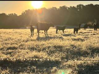
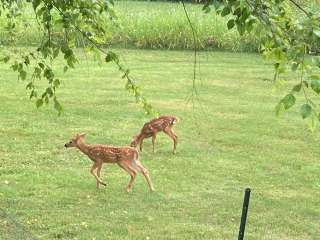
The Grayson Game Refuge Area and Wildlife Management Area are both nearby, offering hiking, hunting, birding and fishing.
Grayson Lake State Park is just a few minutes away, with an 18-hole golf course, camping, hiking and more great water activities.
From Huntington, WV, travel west on I-64 approximately 28 miles to Exit 172, or from Lexington, Ky, travel east on I-64 approximately 93 miles to Exit 172.
From Exit 172, proceed south on KY Route 7 approximately 8 miles. KY Route 7 passes over Grayson Dam; after passing over dam, take the first right onto lower access road to go to Picnic Shelter 4. To reach Shelters 1, 2, and 3, take the first left onto Launch Ramp Road.


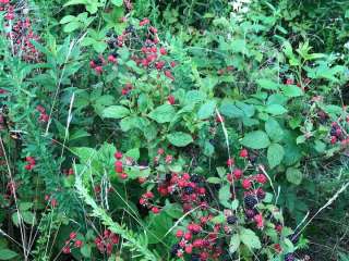
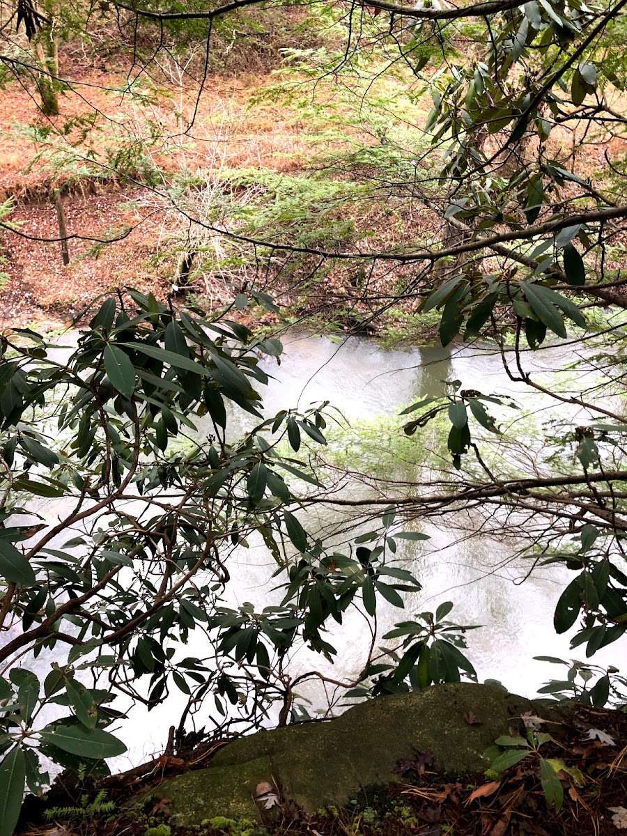
This review is for the trail across the road from the Marina near the spillway. The trail provides great access to a protected area with a lot of biodiversity. There is a vernal pool in the environmental education field that harbors spotted salamanders during their spring migration. There is a Great Blue Heron rookery near the standing water. Hikers can do a smaller section if they like. There is a huge Sycamore close to where you first take the steps next to Little Sandy. A nice mix of trees and native plants in the field. Lots of wildflowers, mushrooms, and wildlife. Mushrooms include oysters, milkies, chanterelles, hedgehogs, puffballs, beefsteak, chicken of the woods, hen of the woods, cauliflower, and plenty others. I’ve even seen a bear! Easy access from I-64 for anybody coming through Grayson.

Great spot for kayaking BUT lock your stuff up, last time I was here someone stole my trailer while on the water and we had 8 of us with our kayaks. Locals say this happens ALL THE TIME here. Just prepare and be smart!

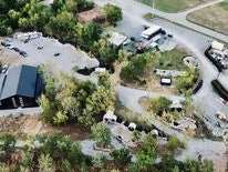
Below the dam is a very nice area to picnic, fish, play some outdoor games, or walk the nearby trails. I am posting this review to make a correction to the map. Some online maps show this area near the dam to be where the campground is located. It is not. The campground is located farther up the road along Rt. 7. You will pass the Clifty Creek boat ramp and cross one bridge over Clifty Creek as you drive. Look for the campgrounds on the right, in the area of the Hidden Cove golf course. Turn in at the golf course. If you cross a second bridge over the lake and come to the Bruin area boat ramp, you’ll see a sign for the Elliott county line and know you have went too far. The campground and golf course are between those bridges.