By:
Submission
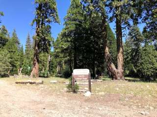
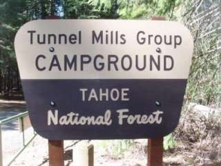
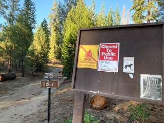
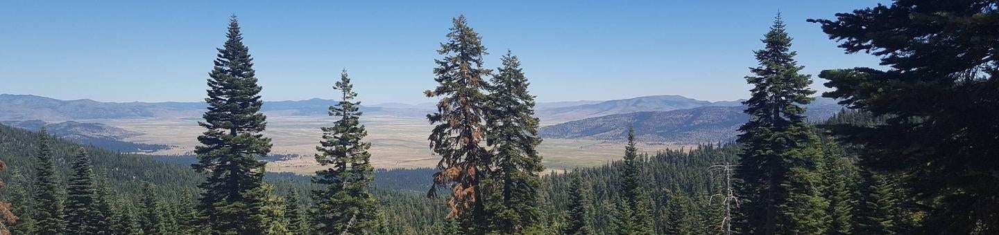
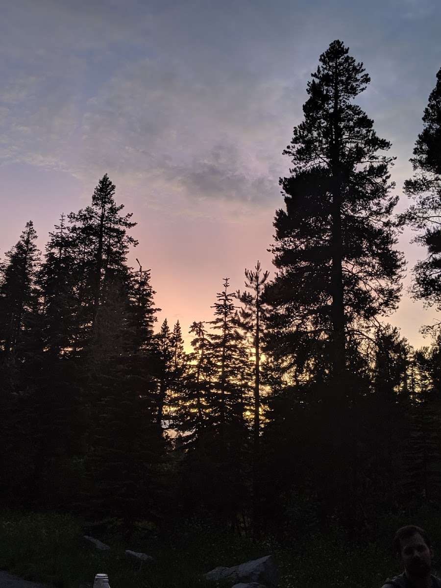
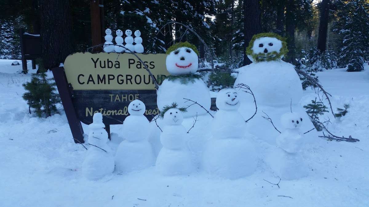
Yuba Pass Campground is located in the North Yuba River area, atop Yuba Pass on Highway 49. Visitors enjoy a wide variety of recreational activities in the area, including birding, hiking, biking, hunting, and fishing. This facility is operated and maintained by the Tahoe National Forest
Bird watching is a favorite activity on Yuba Pass. The peaceful and scenic surroundings attract a wide variety of birds, including sandhill cranes, hermit warblers, black-backed woodpeckers, sapsuckers, calliope hummingbirds, sooty grouse, northern pygmy-owls, mountain quail, bald eagles, osprey, hawks and geese. A large network of trails is available in the area, including the Pacific Crest Trail in the Lakes Basin area.
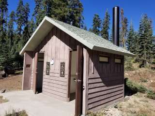
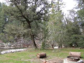
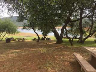
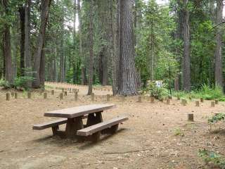
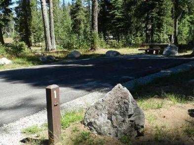
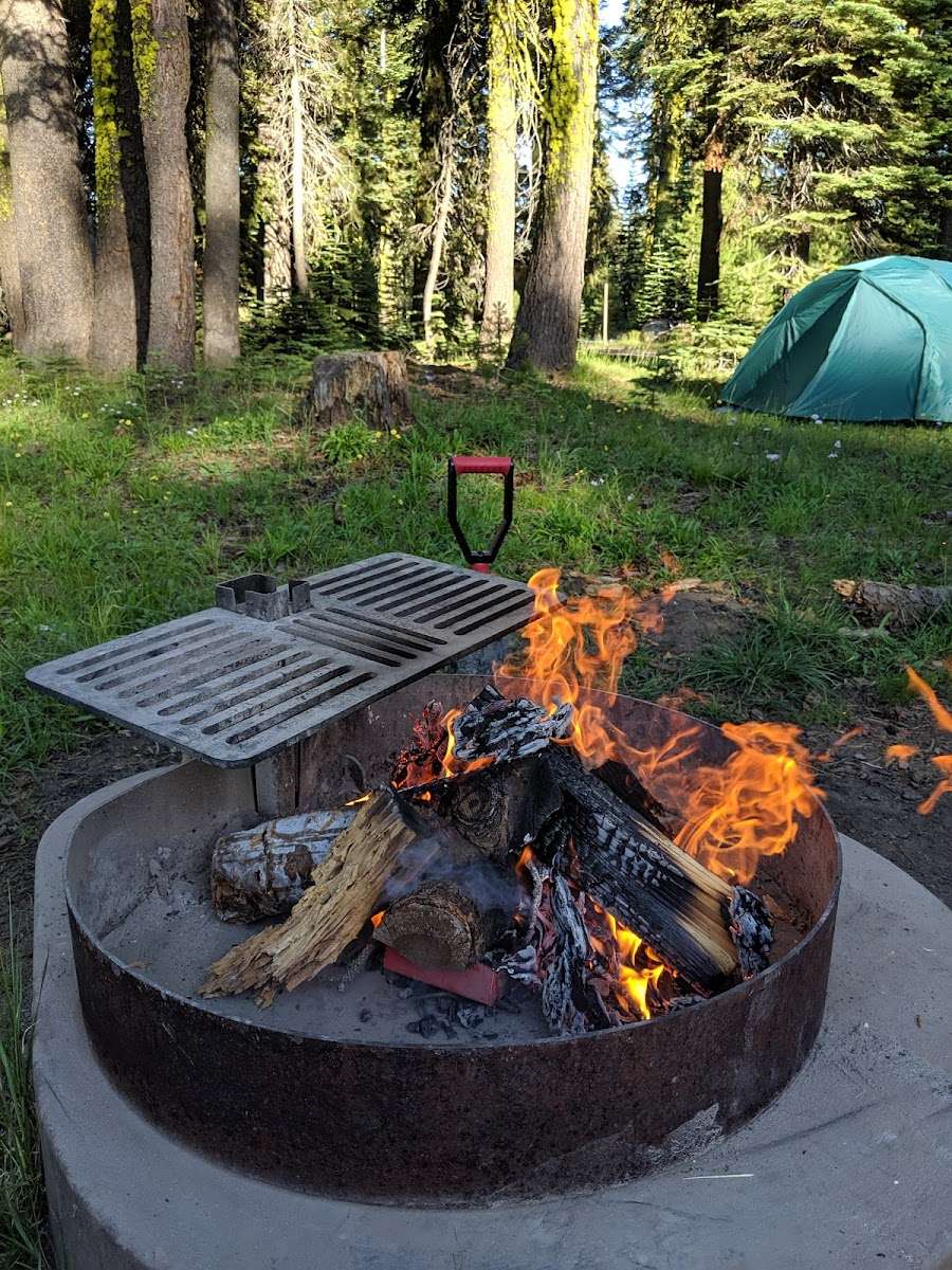
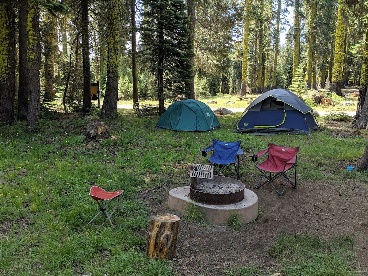
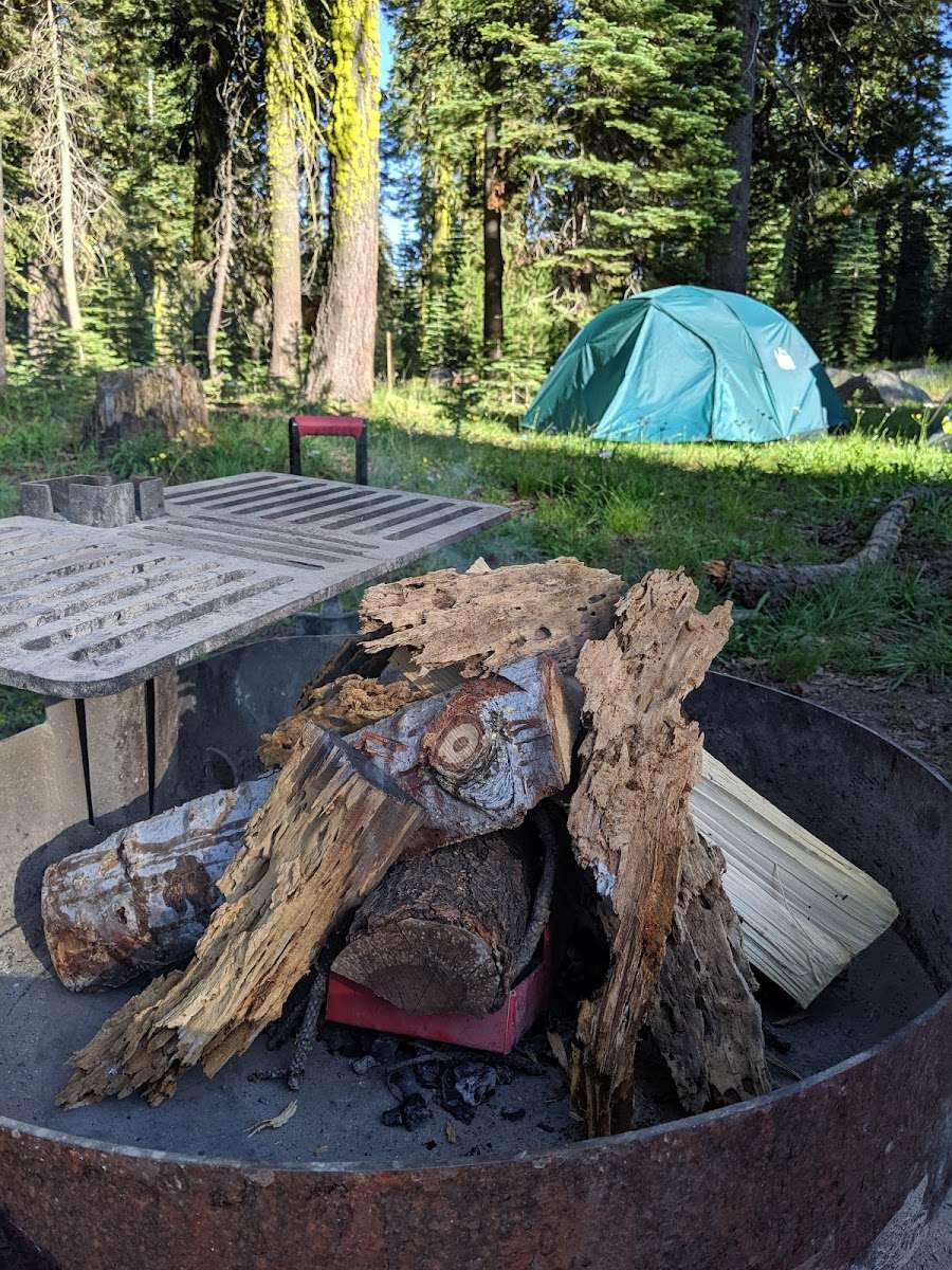
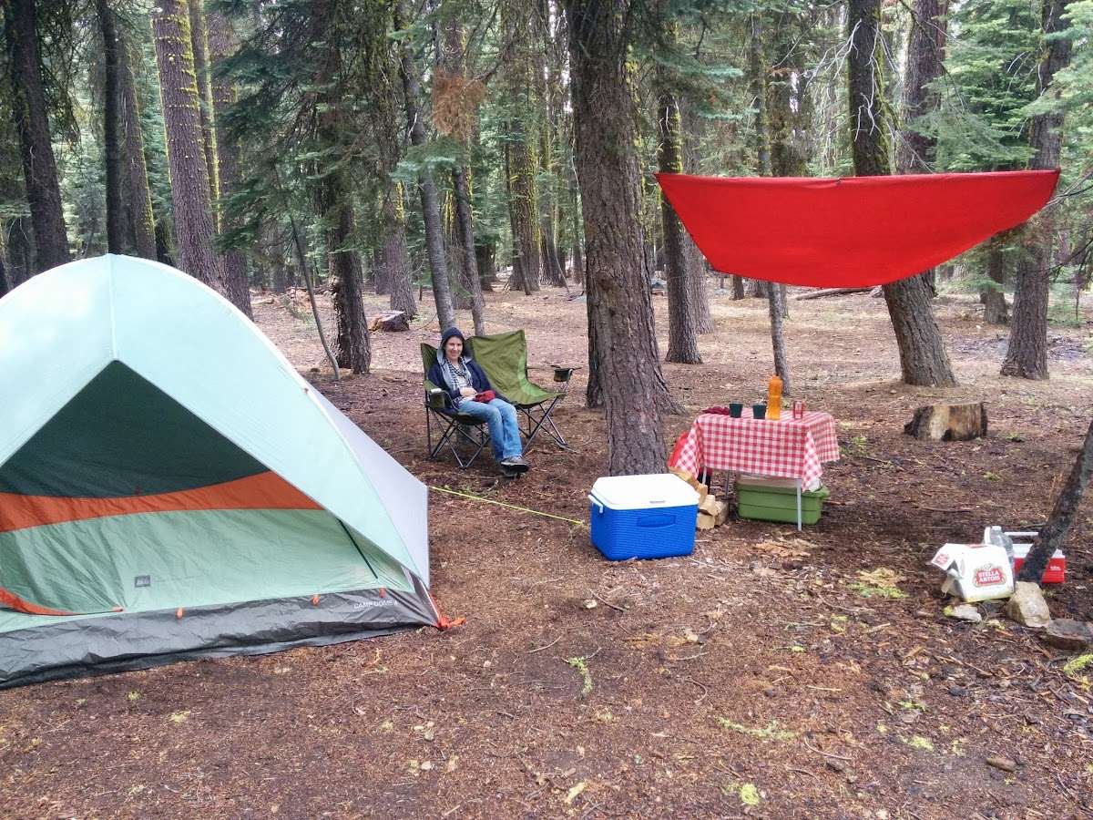
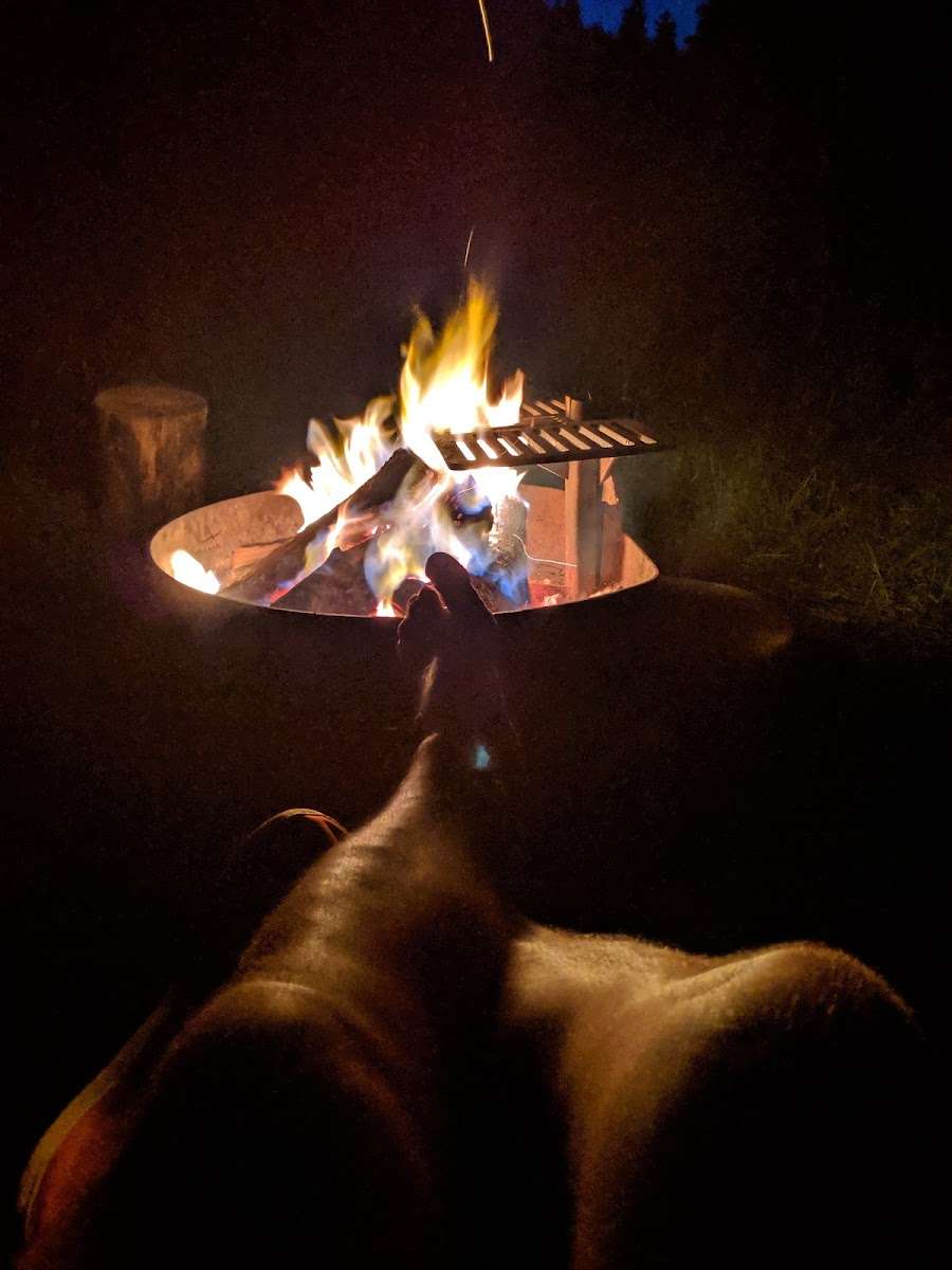
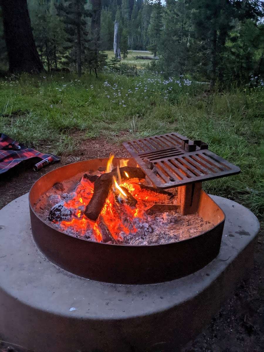
The campground offers several single-family campsites. Each site is equipped with a picnic table and campfire ring. Vault toilets and drinking water are provided.
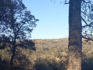
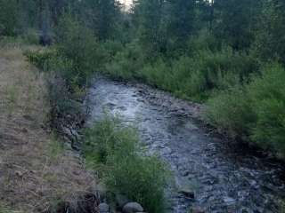
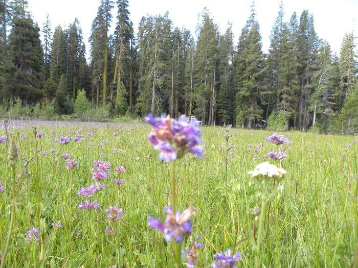
A forest of old-growth red fir provides ample shade for campsites. A variety of wildlife make its home in the area.
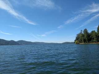
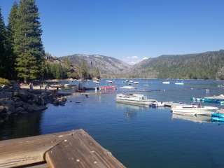
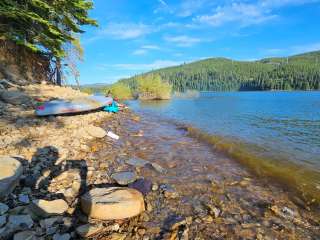
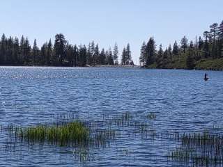
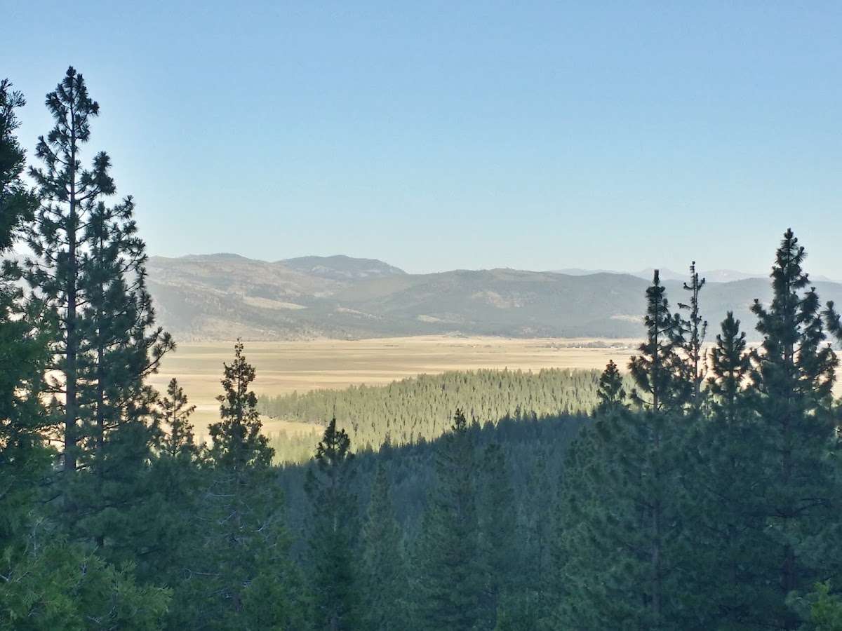
Yuba Pass Campground is located on the Yuba Donner Scenic Byway (Highway 49) near many gold rush era historical sites and scenic mountain vistas. Many points of interest lie along Highway 49 and are part of the 49 miles of Highway 49 driving tour; look for interpretive signs and other historical sites along this tour route. Gold Lakes Basin offers boating, fishing, biking, and hiking. Boating, fishing and swimming are available at nearby Sardine Lakes, about nine miles west of the campground. Sardine Lakes Resort offers boat rentals. Anglers will find rainbow and brook trout in many of the lakes, streams, and rivers throughout the basin. Over 30 miles of maintained trails for hiking, mountain biking, and motorcycle singletrack branch out across the area and the Pacific Crest Trail can be accessed at a few spots in the Lakes Basin area. The historic towns of Sierra City and Sierraville offer historic and cultural attractions, restaurants, shops, churches, and vistor information.
From Sierraville, travel south (west) on Highway 49 for 11 miles. Turn left at the entrance to the snow park and continue about a quarter-mile to the campground entrance on the right side of the road.