


By:
Submission
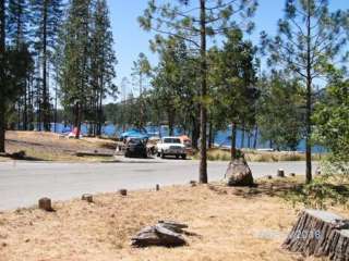
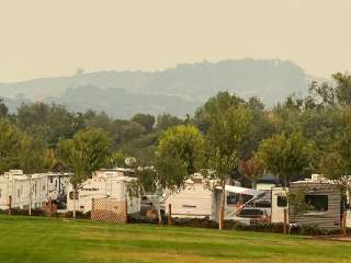
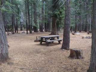
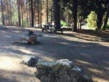
Gorgeous views of the Table Mountains surround this campsite and trailhead. Camping is available on a first come-first serve basis, reservations are not accepted for this campground of six campsites with picnic tables, fire pits, and vault toilet (a maximum of 8 people per site; double sites are also available). Campsites are accessible and reached via a primitive hardened path, located close to the paved parking area. Drinking water and garbage receptacles are available at this campground (electricity is not).
* Day Use (per vehicle)………..$5
* Annual Pass…………………..$25
* Individual Campsite…………..$10
* Double Campsite (2 tables)….$15
* Equestrian Campsite…………$25
* Group Campground*…………$175
* Nuckahee Learning Center*…$300
* Interpretive Programs………..$10
*The Group Campground and Nuckahee Learning Center require reservations. Please contact the Bakersfield Field Office for more information.
The Dumna and Kechayi Native Americans once called the Gorge home and are still active in the area, practicing their cultural traditions which include ceremonies on site. It is from their language that we derive the names of the trails contained within the Management Area. All trails are multi-use, shared by hikers, mountain bikers and equestrian users. Motorized use on trails is prohibited.
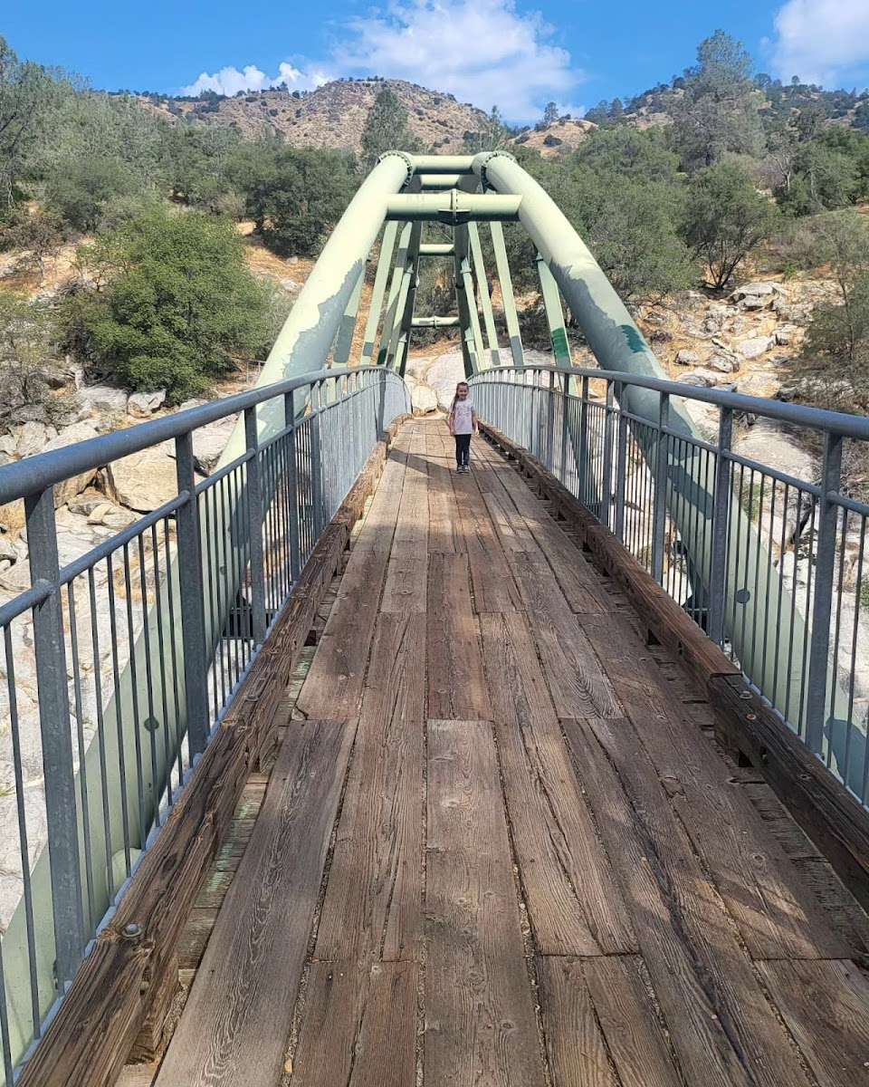
* **Foot Bridge Trail**
* Distance: 1 Mile to Foot Bridge
* Round Trip from Ya-Gub-Weh-Tuh parking: 2 Miles
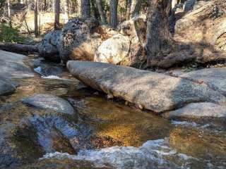
The Foot Bridge is one of the most sought-after sites here at the San Joaquin River Gorge. Please remember while the slope is gradual downhill to the Bridge, it is up-hill on the way back. Be sure to plan accordingly and bring plenty of water!
* **Pa'san Ridge Trail**
* Distance: 6 mile loop (begins across the Foot Bridge)
* Round Trip from Ya-Gub-Weh-Tuh parking: 8 Miles
The Pa'san (pine nut) Ridge Trail is a six-mile loop trail. This trail takes one into the chaparral clothed uplands where they will encounter mountain lilac (ceanothus), manzanita, mountain mahogany, and many other shrubs and wildflowers.
* **Wuh-ki'o Trail**
* Distance: 4 miles
* Round Trip from Ya-Gub-Weh-Tuh parking: 11 Miles
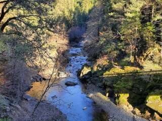
The Wuh-ki'o (Dumna/Kechayi word for San Joaquin River) Trail starts from the west side of the loop on the Pa'san Ridge Trail. About four miles long, it connects with Millerton Lake State Recreation Area on the Madera County side of the reservoir. The trail follows along the river and leads the traveler through oak woodlands with their mixture of foothill pines, shrubs and numerous wildflowers.
* **San Joaquin River Trail**
* Distance: 2 miles (to BLM boundary)
* Round Trip from Ya-Gub-Weh-Tuh parking: 4 Miles
A portion of the San Joaquin River Trail (SJRT). Access to the trail is across the road from the Ya-Gub-Weh-Tuh parking and guides you into the Millerton Lake State Recreation Area. When complete the San Joaquin River Trail will eventually connect Highway 99 to the Pacific Crest Trail near the Devils Postpile National Monument. Portions of the trail cover prehistoric trade routes of the Mono Indians.
* **River Access Trail**
* Distance: 1/2 mile
* Round Trip from River Access Parking: 1 mile
A short switchback trail leading down to the San Joaquin River's edge through the oak woodlands and grass understory. Day use parking is available at this trail head.
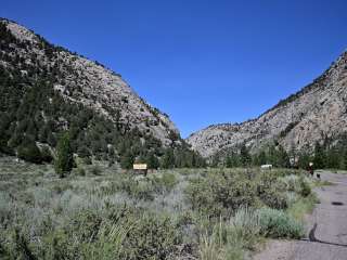
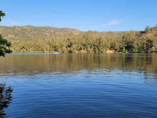
The San Joaquin River Gorge is located approximately five (5) miles northwest of the town of Auberry. The visitor center is located at 40060 Smalley Road, Auberry, California. Google Maps accurately locates the visitor center at it's actual location. From Fresno, take CA-168 north. One mile after the town of Prather, turn left onto Auberry Road. Follow Auberry Road 2.9 miles through the town of Auberry and turn left at the Y onto Powerhouse Road. After 1.8 miles, turn left onto Smalley Road and follow it into the SRMA.


A very nice trail with places to picnic and have a BBQ. Wildlife can sometimes be seen on the hike, such as bobcats. You can jog or bike the trail as well. The trail leads to a beautiful bridge overlooking the San Joaquin River. There are lots of cow's in the area so watch out!

It has been some years now that I actually went down the trail. In the next two weeks the wildflowers will begin to bloom and there will be a riot of color.
I am not able to hike now so I went to the visitors center to find the gate locked and I was not able to see any of the exhibits my friend said was there. I have been there on three or four occasions and always on the wrong day apparently because I've never seen it open. I'll try and include a picture here of the cedar bark houses the Indian tribes used. You can see that they were mostly enclosed. I think keeping them open is for our edification so that we can see what was there. The granite rock behind the structures also has a number of pounding holes I don't know what else to call them.

Great hike, good scenery.
Don't wear Crocs, wear good hiking/running shoes and wear a Camelbak style water poach with at least 2.0 gallons. There's no place to fill up for water.
Not that you will drink that much, just a good idea for inexperienced hikers. Who wants to carry a bottle around?
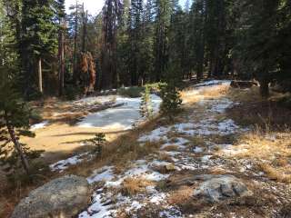
Great scenery in Spring and Fall as nature intends to always please.
There is a place you have to pay a fee for parking. Otherwise, you will get a ticket.
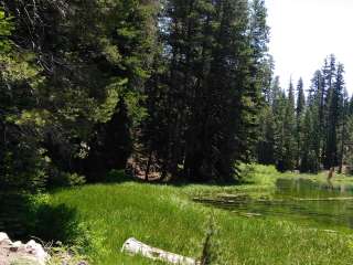
Great views.
There are picnic benches near the parking areas.