By:
Submission
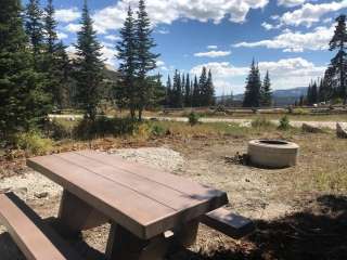
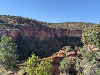
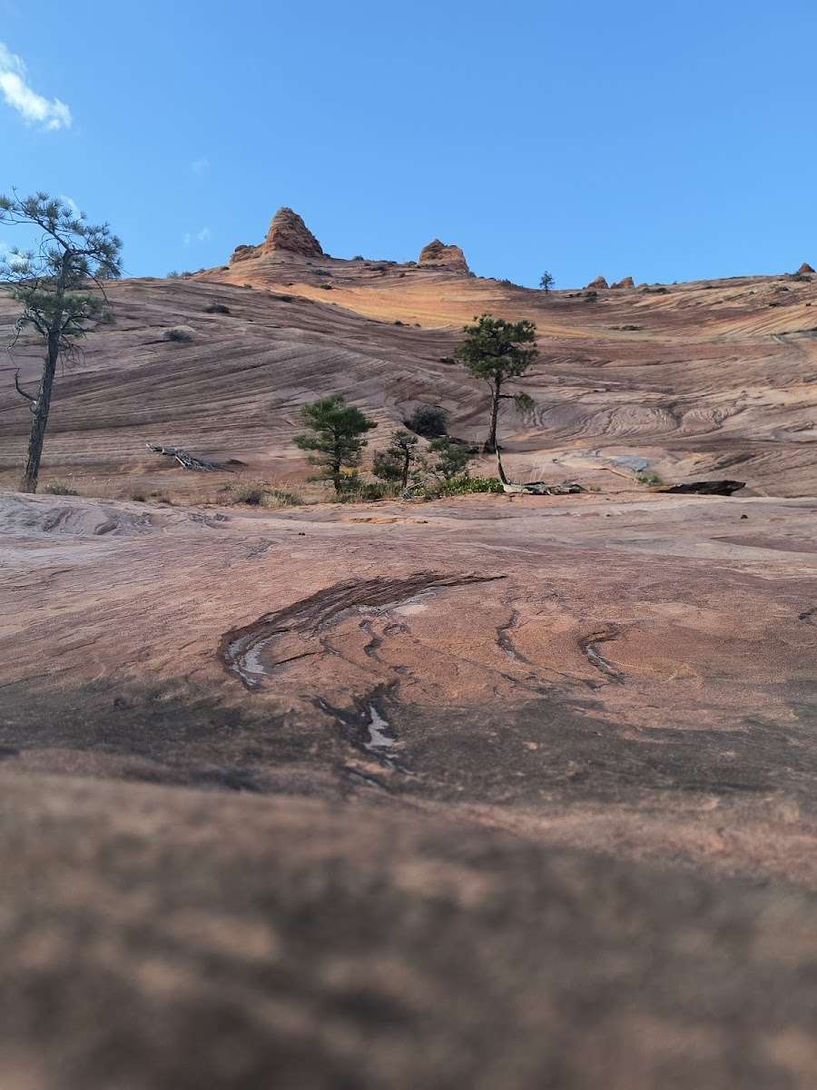
Recommended Users: Hikers. Route. 6 total miles in length. Difficulty: Moderate. This hike goes to the the top of Canaan Mountain. This hike contains slickrock and an area know as the beehive. It offers great views of Zion National Park and surrounding area.
Take I-15 N. Take exit 16 for state Hwy 9 toward Hurricane/Zion National Park. Keep right at the fork and merge onto State Hwy 9 E/W State St. Turn Left at the 1st cross street onto UT-59 S/E 100 S. Continue to follow Ut-59 S. Continue. Continue on Utah Ave. Drive to Water Canyon Rd. Follow dirt road to Parking area.


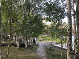
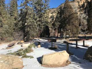
Came here right after snowfall. Beautiful. Had a running creek and snow covered mountains and trees. We didnt go far, as we did not want to cross the creek. But this trail hugs the mountains and will surely provide awesome views. There is a small parking lot, and it is very easy to spot taking the dirt road in.

Beautiful walk. Part of the trail are sandy and at one point you have to go through a wash. Unfortunately there are a bit too many OHVs disturbing the science.

On the edge of giving this 4 stars. We had this trail all to ourselves on 6/18/20, bonus. The sand... While never too deep there are sections and pockets all the way to the intersection with Canaan Mountain trail which is about 3.3 mikes each way, 1100'+ elevation gain. Most of the gain is fairly strenuous in the last mile or so. Sand and steep rock sections.
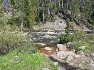
I used Maps.me to locate where we were on this trail, especially at about 2 miles in where the hiking trail diverges from the ATV tracks. I was also able to stay in the creek bottom longer, about 1/2 mile or so in from the trailhead, in order to avoid the sandy dirt road that parallels the creek bottom. We stayed in the wash for maybe 1/4 mile avoiding the first 2 ATV tracks that left the creek bottom to the right, second exit was maybe 200 yards from where we first hit the creek bottom.
We're full time RVr's focused on hiking, blog link in bio.

If doing the loop make sure to GPS you way up to white domes. Going down water canyon is steep and hard for some to find the way to go down. Trail isn't marked. Just make sure you have waypoints. Lots of sand.

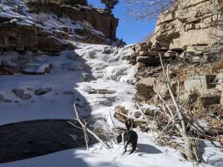
Did the loop parked at squirrel for an easy ending. Such a beautiful trail. Up the waterfall is amazing coming down the canyon and back up gets a tad tricky but other than that pretty straight forward. Def did twelve miles instead of nine