


By:
Submission
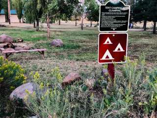
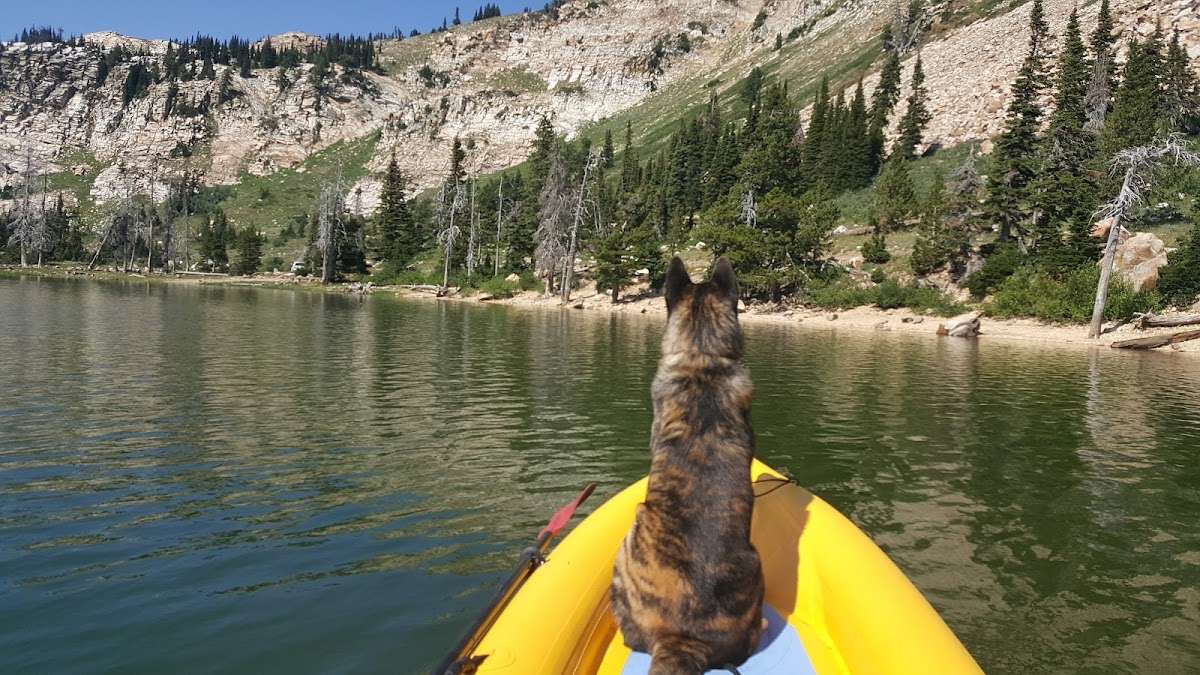
Lake Cleveland Campground is a very popular summer recreational facility. Located next to its namesake, the campground is divided into the East Side and West Side loops. Very popular with residents of local communities, the campground is often full every weekend from early July to Labor Day.
Natural Features:
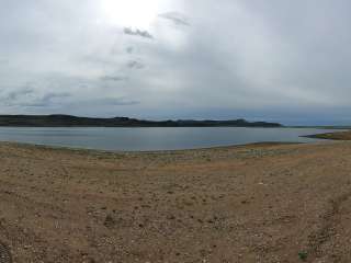
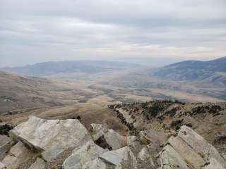
At an elevation of 8,300 feet, the campground facility is located in an alpine lake basin below Mt. Harrison which has an elevation of 9,240 feet. Late season snowdrifts often block access to the campground until early to mid-July. The campground is near the timberline and alpine wildflower meadows. Expansive views north across the Snake River Plain and south into Utah and Nevada can be found near the campground.
Recreation:
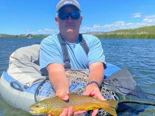
Fishing, hiking and swimming are all popular activities within the Lake Cleveland area during the summer months. Non-motorized boating and floating is allowed on Lake Cleveland. Motorized recreation is limited to system roads and trails; no cross-country motorized travel is allowed.
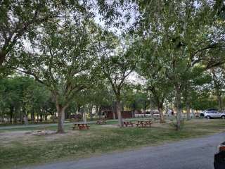
Facilities:
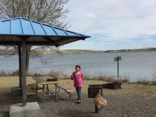
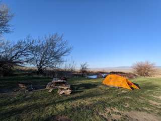
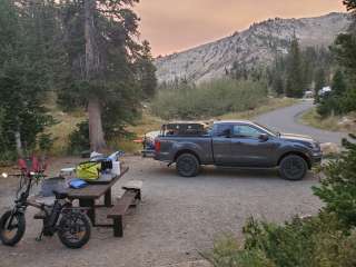
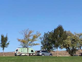
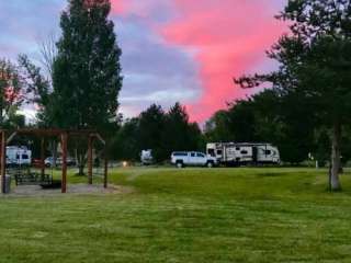
Seventeen camping sites are located in the East campground loop, seven of which are reservable, the remaining ten are first-come, first-served. The East side of the lake is best suited for large RVs and trailers. Nine campsites are available on the West side of the lake on a first-come, first-served basis. Trailers are not advised on the West side of the lake because the turn-around is very tight (limited space due to steep terrain).
Nearby Attractions:
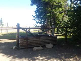
Two miles from Lake Cleveland, Mt. Harrison has a fully functional fire lookout tower which is open to visitors on most weekends. Nearby Pomerelle ski area offers lift-served access to mountain bike and hiking trails. Two miles away, Twin Lakes Campground offers equestrian facilities and access to the Skyline Trail which is open for hiking, horseback riding, mountain biking and motorcycle riding.
From Interstate 84, take exit 216 and follow State Highway 77 south approximately 18 miles, through the towns of Declo and Albion, to Howell Canyon Road. Turn west at the Pomerelle Ski Area sign and drive up the canyon on Howell Canyon Road another 7 miles. The road is steep and winding. Look for an entrance sign on your right. Use caution with travel trailers and RVs, as not all campground loops are suitable for trailer turnarounds.