


By:
Submission
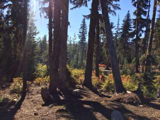
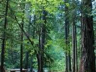
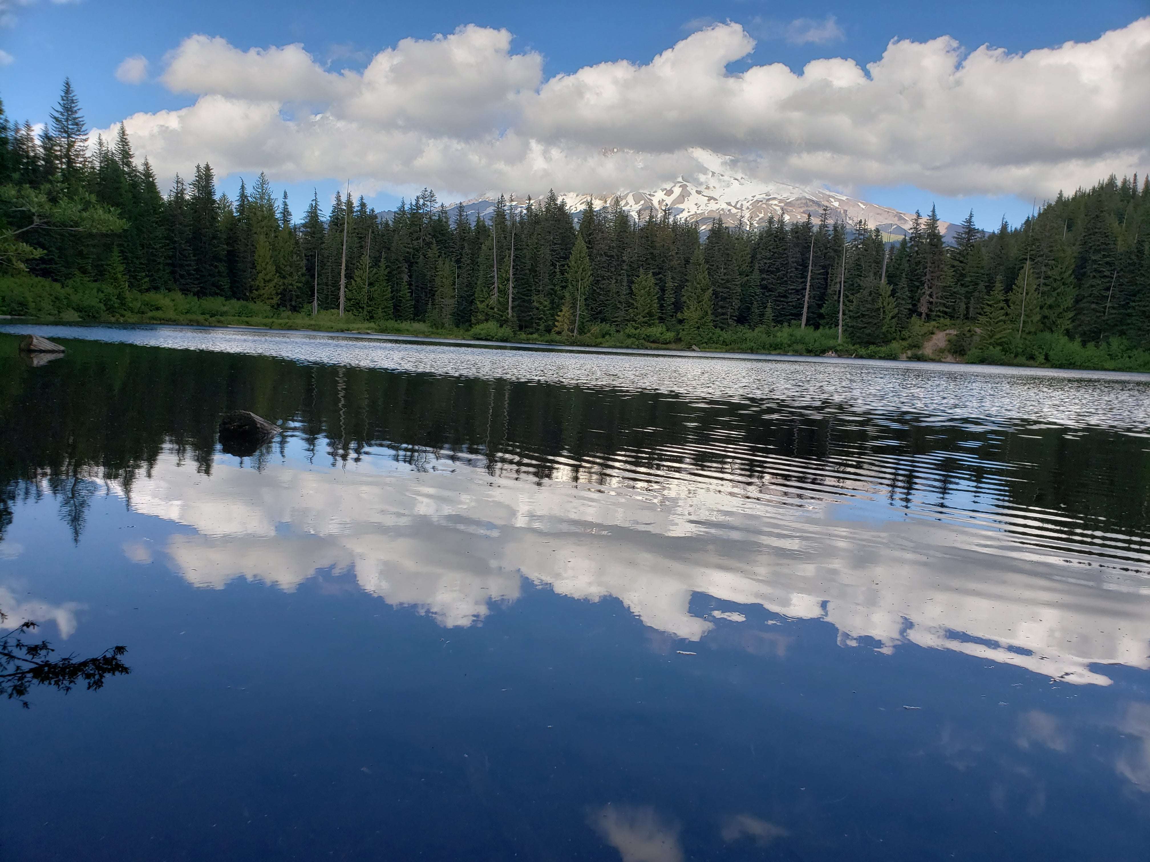
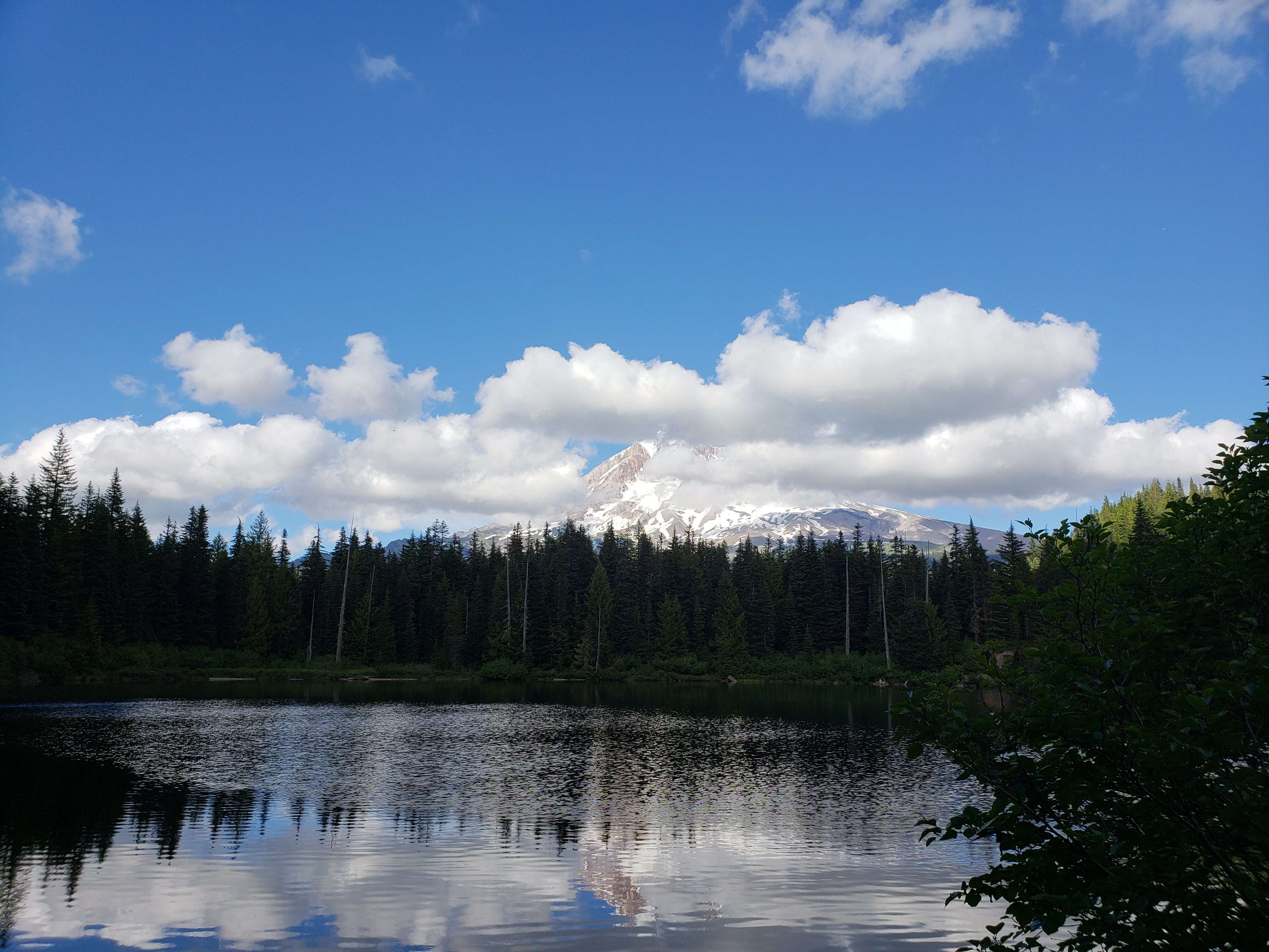
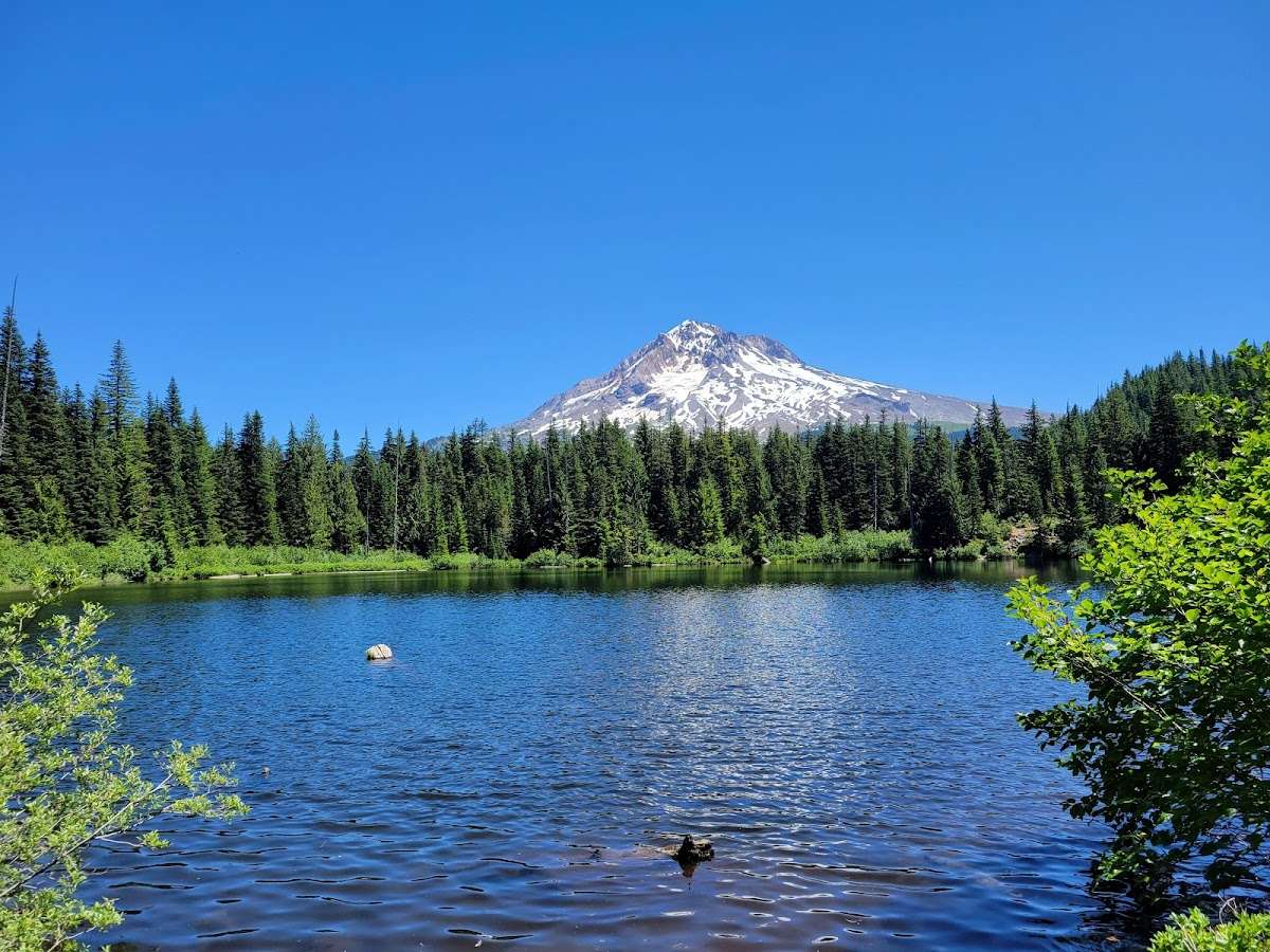
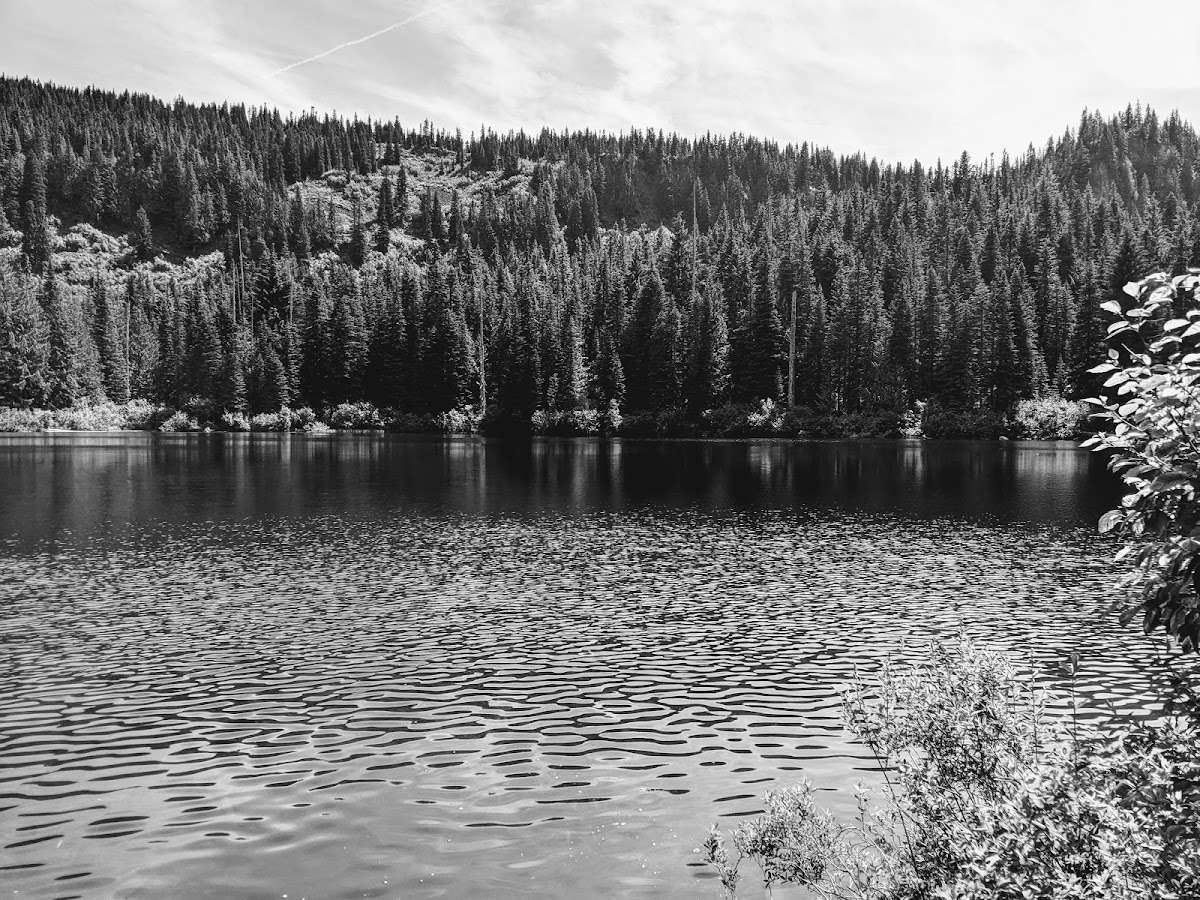
This trail enters the Mt. Hood Wilderness on the west side of Mount Hood. This trail accesses Burnt Lake and Zigzag Mountain with views above treeline. The north side also has wonderful old cedar snags showing remnants of a wildfire that came through around 1900.
Starting from the north Burnt Lake trailhead, this trail begins at Forest Road 1825-109 (2,680’) and ends at Forest Road 2627-207 (3,320’). From Forest Road 1825-109, the trail climbs steadily up to Burnt Lake (4,120’). There is a nice loop trail around the lake accessing several campsites. From the lake the trail continues up a steep climb 0.6 mile and reaches Zigzag Ridge (4,720’). Soon after, the trail reaches Zigzag Mountain Trail #775. Turn right onto Zigzag Mountain Trail #775 and follow the ridge westward 0.3 miles until Burnt Lake Trail #772 drops over the south side of the ridge descending to Devil’s Meadow area. From Devil’s Meadow the trail follows an easier grade down an old roadway to West Zigzag trailhead at Forest Road 2627-207.
North Burnt Lake trailhead:
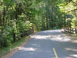
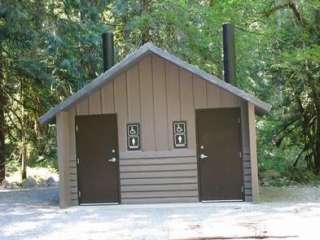
From Portland, OR - follow U.S. Hwy 26 17.5 miles east of Sandy to Zigzag. At Zigzag, approximately 0.4 mile past milepost 42, turn left (north) on Lolo Pass Road (Forest Road 18). After 4 miles, turn east at Forest Road 1825 and continue 0.6 miles. Turn right across a bridge and continue another 1.1 miles to a fork in the road. Stay right at the fork and continue a 0.7 mile past Lost Creek Campground to Forest Road 1825-109. Turn right onto Forest Road 1825-109 and travel 1 mile to the trailhead at the end of the road. (A Recreation Pass is required at North Burnt Lake trailhead)
South access to Burnt Lake Trail is from West Zigzag trailhead.
From Portland, follow US Hwy 26 for 20.2 miles east of Sandy and turn left (north), approximately 250 feet before milepost 46, at Zigzag Mountain Road (Forest Road 2627) . Follow this road for 4.3 miles to its end (the road eventually becomes Forest Road 2627-207). The trail begins 100 yards before the end of the road on the left (west) side of the road.


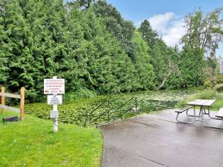
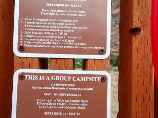
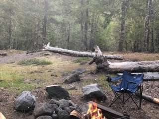
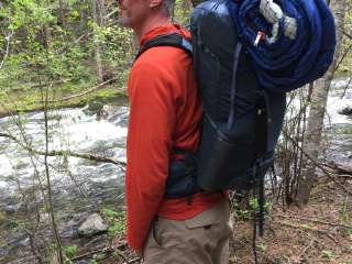
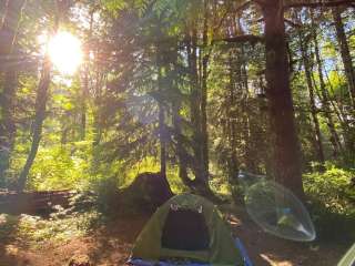
Great one day hike. There’s an opportunity for overnight camping at the lake too.

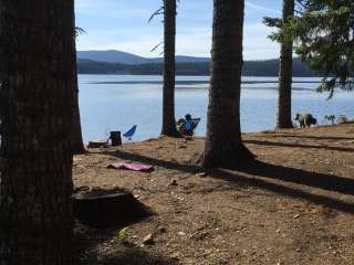
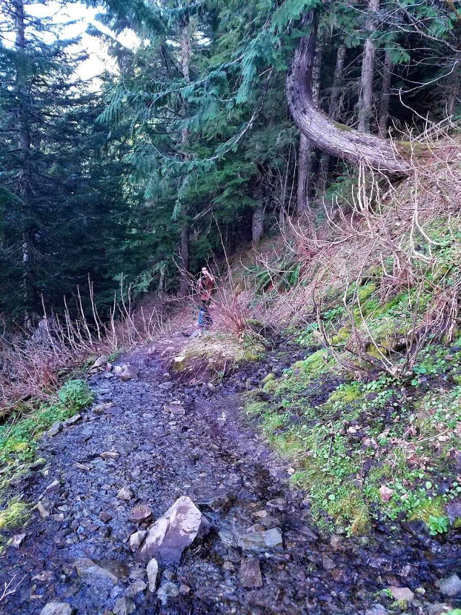
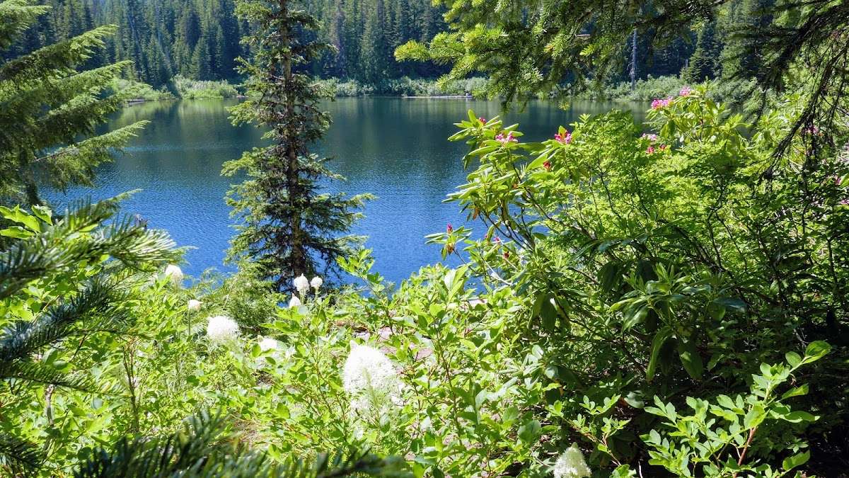
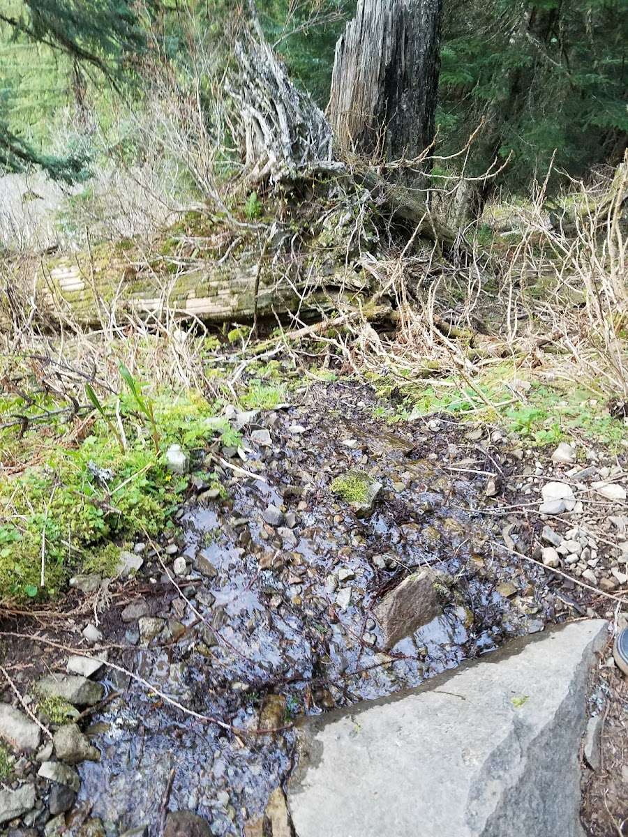
Hiked mid Nov. 2021 on a dry day. There were lots creek crossings that you will have to find a way across using rocks or logs. There were several spots where the trail itself was full of running water as well. I did not go all the way around the lake, because other hikers warned it was very muddy. There's a beautiful view of Mt. Hood from the lake!

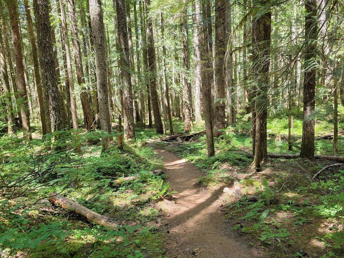
Beautiful forest hike through older trees. A gradually ascending trail in most parts that is well maintained. A very picturesque lake from the right spot. As with most mountain lakes, there are a few small mosquitos. The access road has deep potholes, but is passable.

Great hike with not a lot of people can swim on a hot day or not so hot. Quiet and peaceful. Some campsites outline the lake but plenty of room to have own space.

Have made the hike in both ways, North and South. The view from the top of East Zigzag Ridge above the lake is inviting. Had years of Fun up there, so many wonderful people were about, clothed and Unclothed.