


By:
Submission
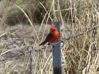
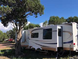
Formerly a small campground, Salt Flat Trailhead is a remote site located at the boundary of the Pine Flat Wilderness Area. Provides access to: * Pine Mountain Trail #14 , Pine Flat Trail #165 , Willow Springs Trail #12 , Verde Rim Trail #161 , Beehouse Trail #165, and Nelson Trail #159 Facilities * Picnic tables * Fire rings * No drinking water * No toilet * No garbage disposal - Please pack it out
One hour from I-17, exit at Dugas and head east on County Road 171 to Dugas. From there take Forest Road 68 southeast for 18 miles to Salt Flat. (Rough road; recommended for high clearance vehicles only. Not recommended during wet weather.)


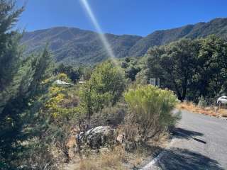
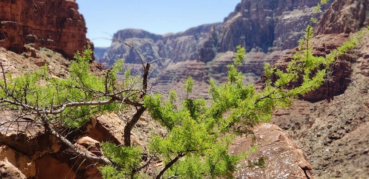
Beautiful place but be ready for extreme conditions. The trail is extremely rough. Watch for the many cairns. The trail is very steep and rocky the entire way. There are a couple of short downclimb sections.

This is a Warning!
This trail is not for the faint of heart, the trail is impossible to find at times, even with the stone cairns other hikers have created.
The trail is very technically, requiring hikers to Climb, shamble, and guess at portions. There is no established one trail.
I recommend packing as lightly as possible but making sure you've got at the very least 2 liters of water with you on the down hike.
I will say that I wasn't able to complete the hike, turning around after 2 miles down. This is certainly a trail meant for an experienced and prepared hiker.
If you're looking for a cheaper less traveled way to the grand canyon, this is it! BUT be prepared, know your limits, and don't push them.

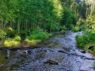
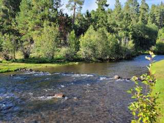
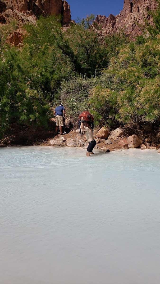
Definitely the most rugged backpacking trail I have ever been on. This hike is not for those who are not fit. Here are some tips for the hike: 1. The water, even in the springs has a strong salty taste after being filtered 2. There are very few spots for a decent campsite 3. The water is quite warm and there is a decent current and it can get deep in places 4. The trail has little to no shade during the late morning through late afternoon. Overall I would definitely do this hike again we had a great time, loved how quiet it was and had fun getting creative for a campsite.

A permit is required, you get that at the Cameron Park Office which is about an hour south of the trailhead. The Navajo Nation Park Rangers/National Park Rangers will ask for it. The main reason why? The rangers want to keep count of people in the area, since this trail is in a very remote area. The Navajo Nation Park Rangers have been doing rescues about 2x a day lately. Know your limits.
One of the toughest hikes i’ve ever done. As others have said in these reviews, it’s life changing. This trail can test you mentally and physically. I do an in and out hike, the same day. I do not recommend this. Especially if you are not from the area.
The trail says it’s 4 miles, it’s more of 6.2 miles each way, with all the turns you have to do. There is no shade on this trail, the only shade is at the river. This is really important during warmer days. Sun will make itself known. In the Spring/Summer months that time is usually from 930a to 3p. The canyon does create a nice natural shade, during hours before and after.
Carry plenty of water. at least 6-8 liters per person. Electrolyte is also important. Salty snacks are a must.
There is no real in trail, until you get closer to the bottom. The entire trail is up and down, there isn’t really any flat areas. Watch those ankles. As well as for cactuses, they’re everywhere.
During monsoon season just be aware that flash floods will happen, which will also turn the water brown.

Permit required, very difficult hike, trail not marked very well. Not many hikers out there and no cell coverage once you start descending. No shade throughout the hike. There is a helicopter landing pad, but not sure who provides travel service. River is absolutely amazing with the turquoise color. Keep an eye on weather as rain within a week can turn water brown. I did this in a day, but would recommend staying the night to recuperate. General recommendation is to do this hike with at least one other partner, make sure you are in good shape, and bring plenty of water and electrolytes. Also bring a headlamp in case you get stuck in the dark. Worth the effort, just be safe out there.