


By:
Submission
From Tucson, take I-10 east 72 miles to US 191. Turn right (south) and drive 12 miles to Ironwood Road. Turn right (east) on Ironwood Road. From Douglas, take US 80 two miles to US 191. Go north approximately 45 miles to Sun Sites, then turn left (west) on Ironwood Road. Continue on Ironwood Road (which becomes Forest Road 84 at the Forest boundary) for 8 miles to Cochise Stronghold Campground.


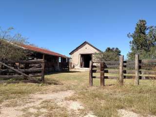
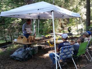
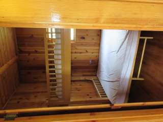
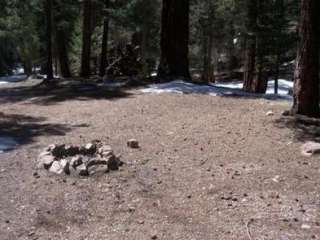
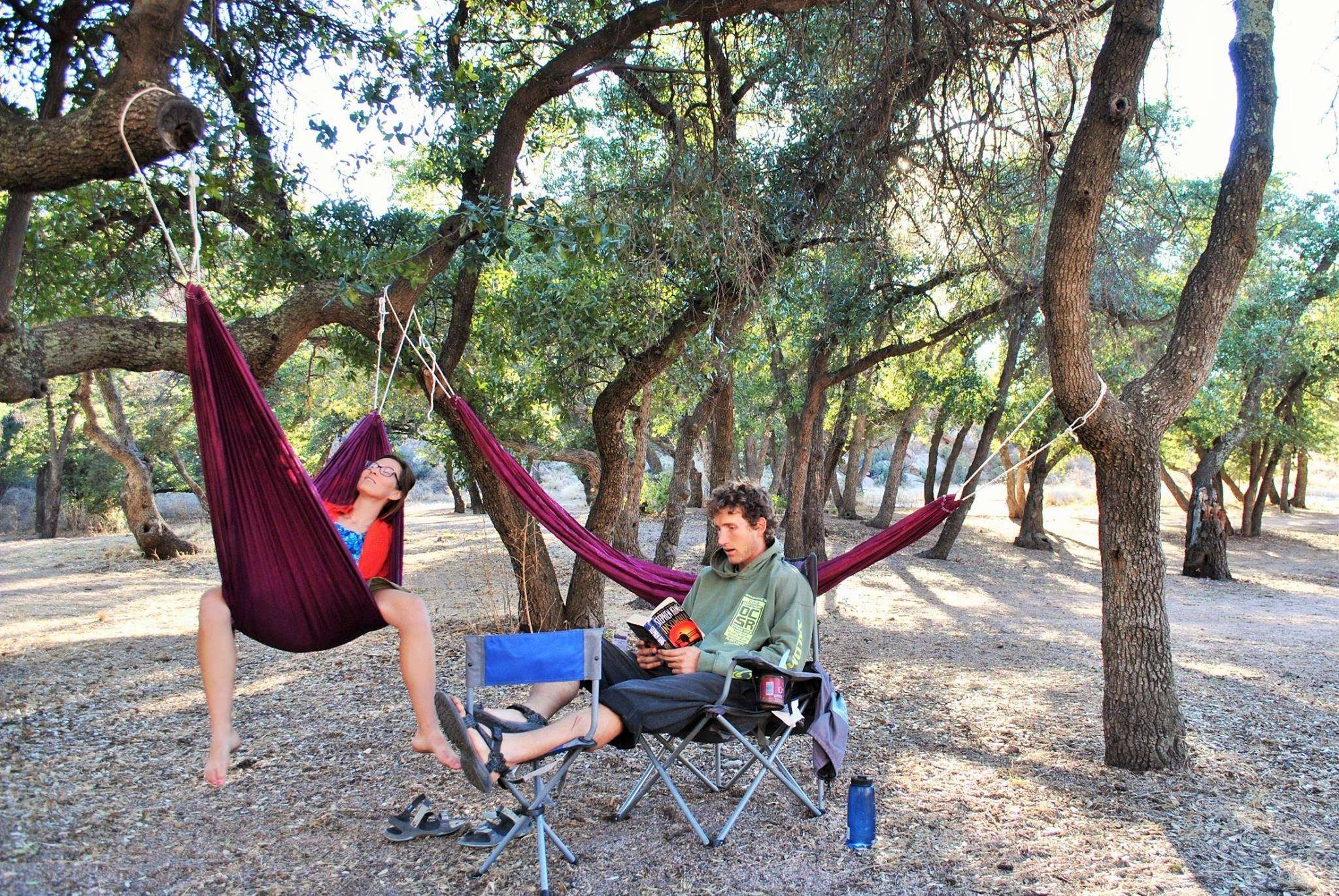
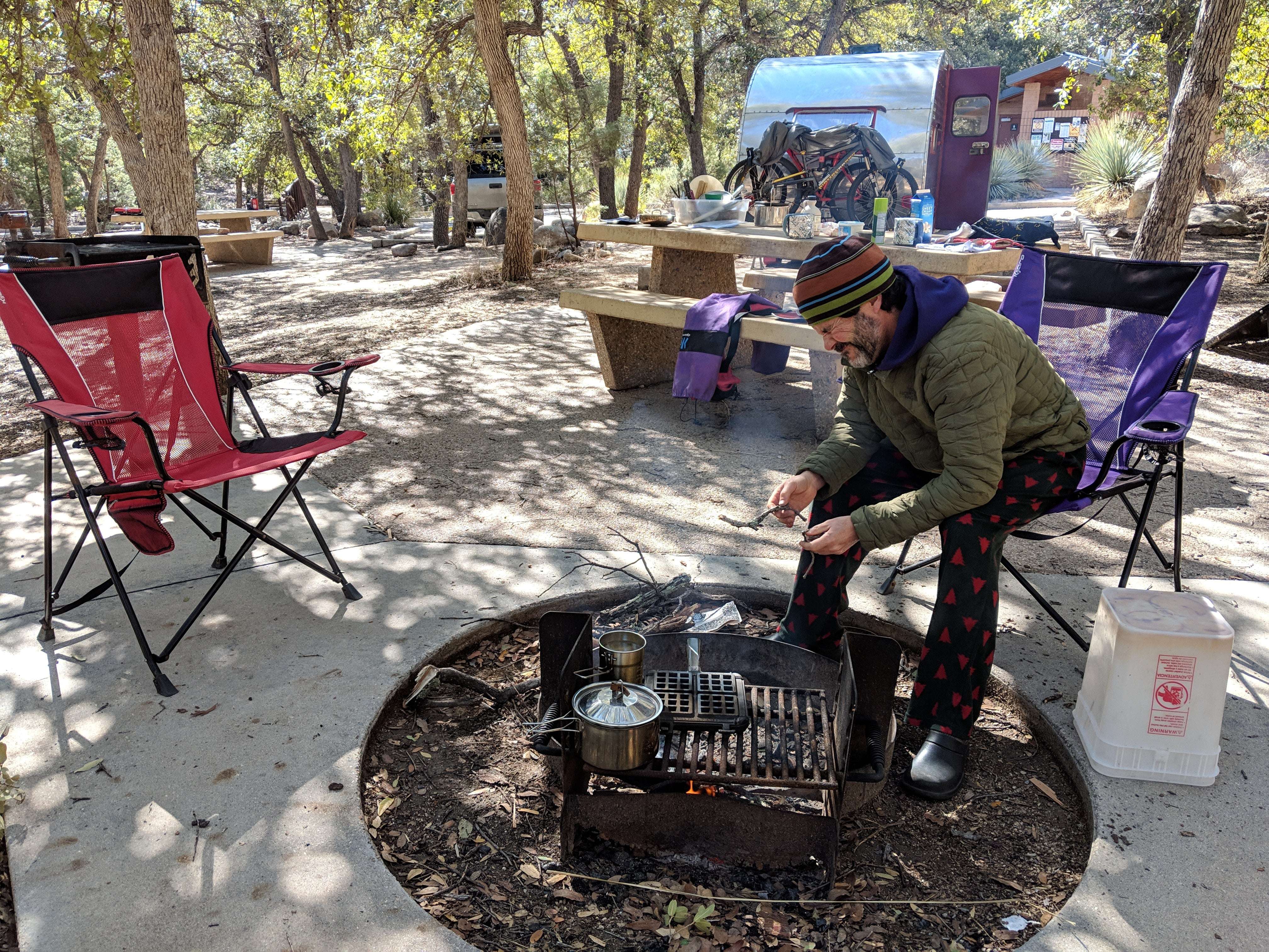
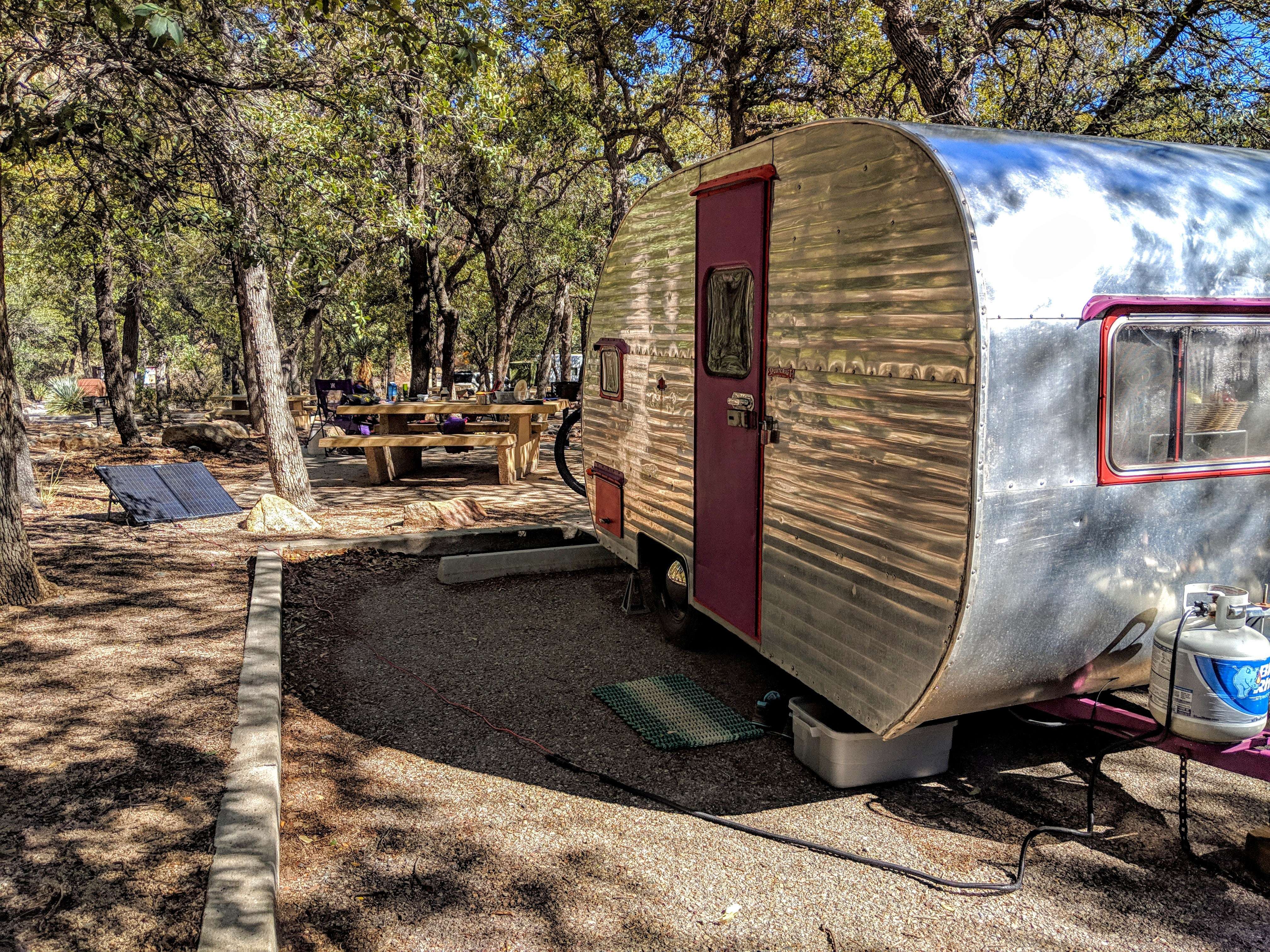
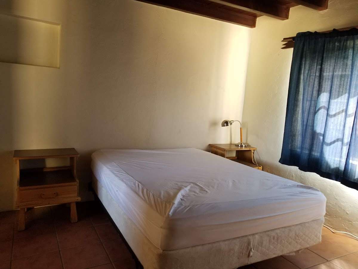
We rented the Shaw House for two nights. The house has three bedrooms - one with a double bed, one with a double futon and one with two sets of bunkbeds with full size beds on the bottom. There are two additional futons in the living room so it can sleep a lot of people. There are two bathrooms each with a shower. The weather was nice so we didn't need the space heaters or fans. We spent a lot of time outside. During the day we moved our camping chairs to shady areas and at night we sat at the picnic table and around the fire ring where we roasted marshmallows. Wood was provided and can be used in the indoor fireplace or outside. There is also a propane grill. The house had a broom, mop and shop vac hidden away in the closet. The kitchen was pretty well stocked with plenty of plates, silverware and lots of pots, pans and kitchen utensils. There aren't many coffee mugs so bring your own if you need more than a couple.

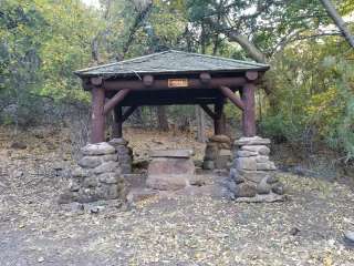
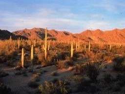
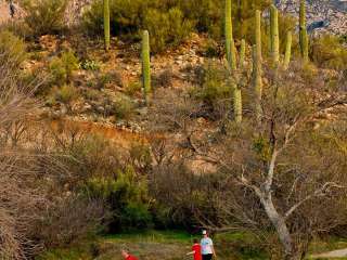
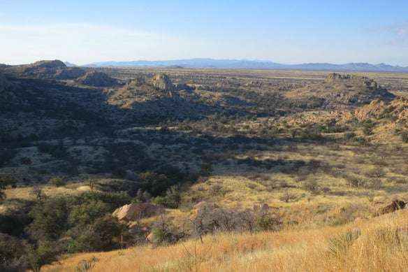
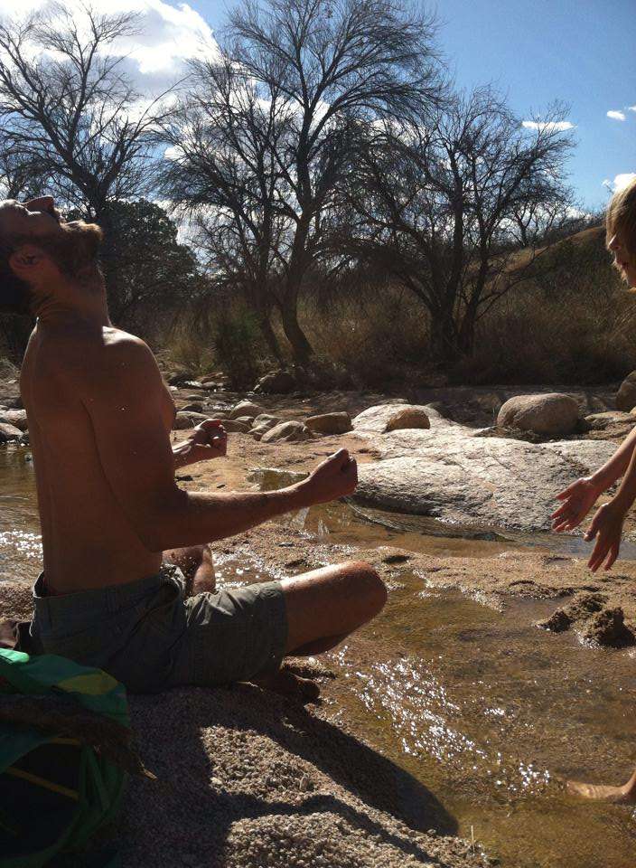
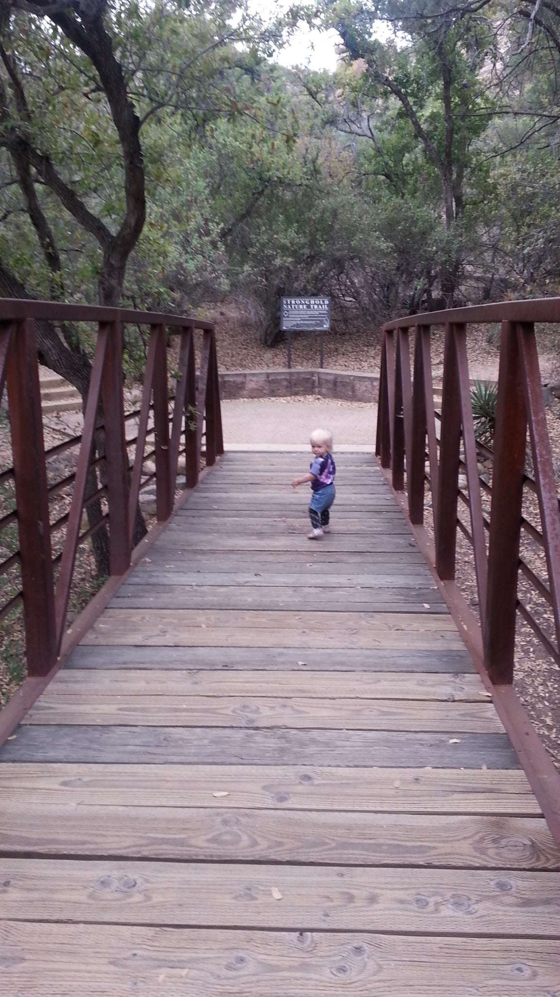
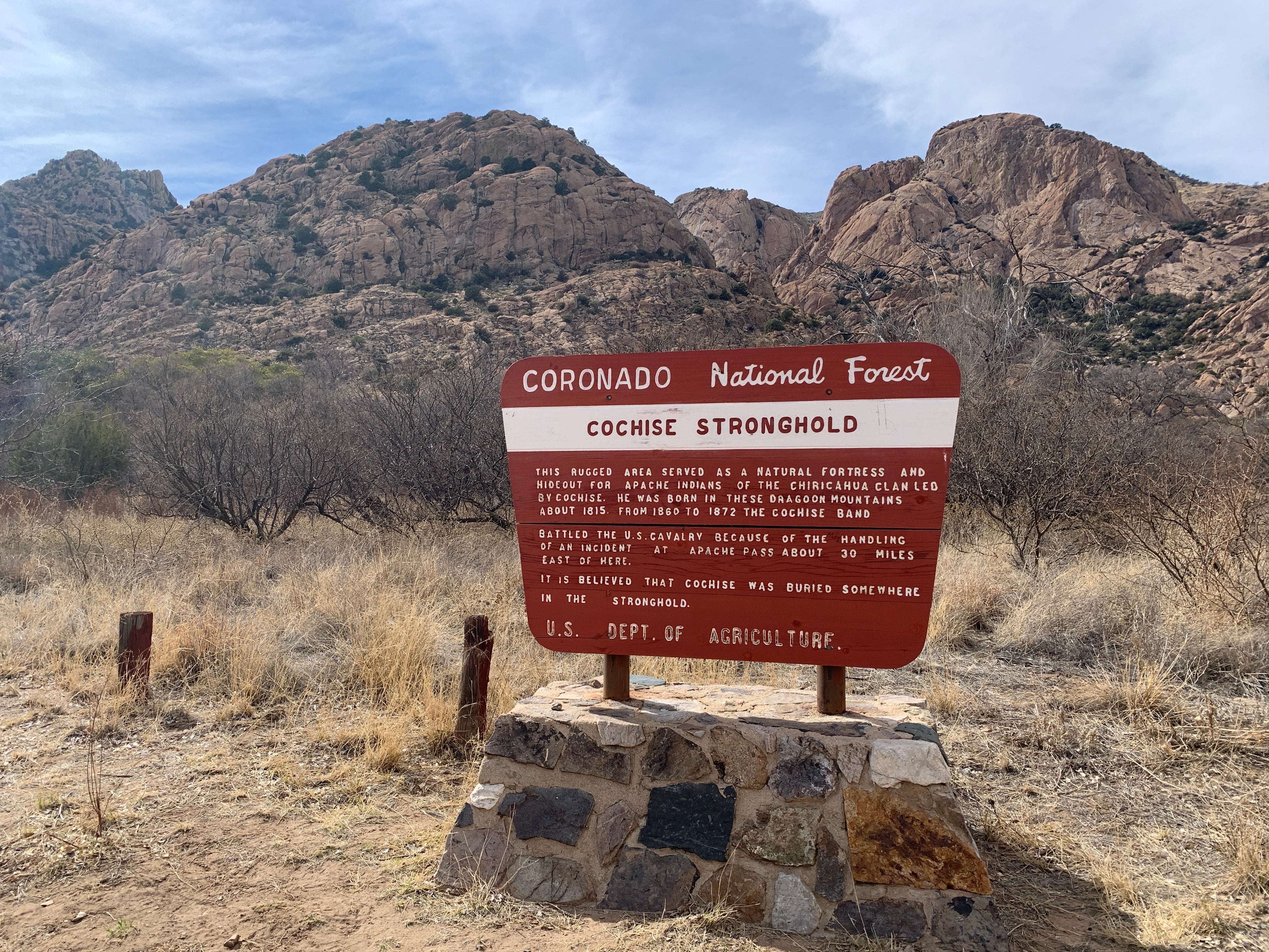
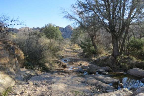
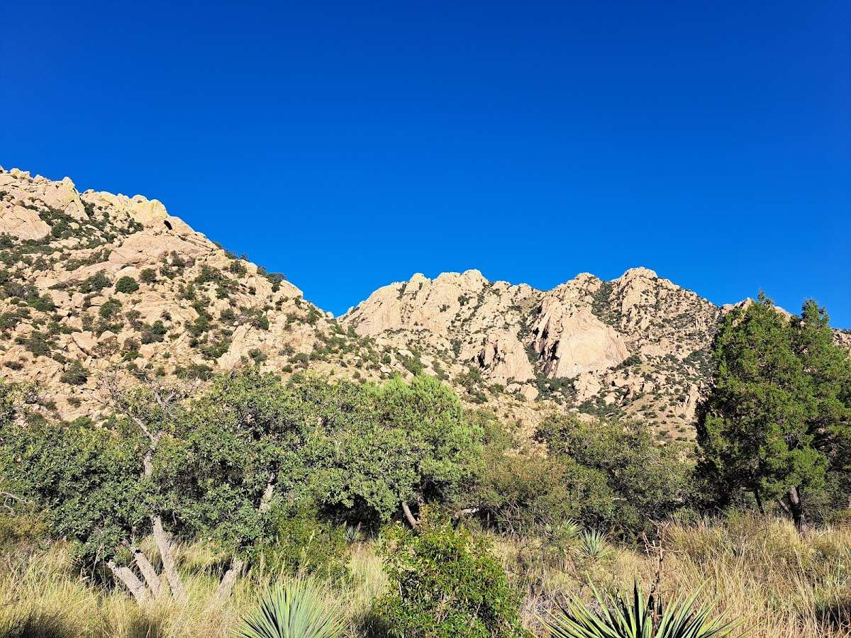
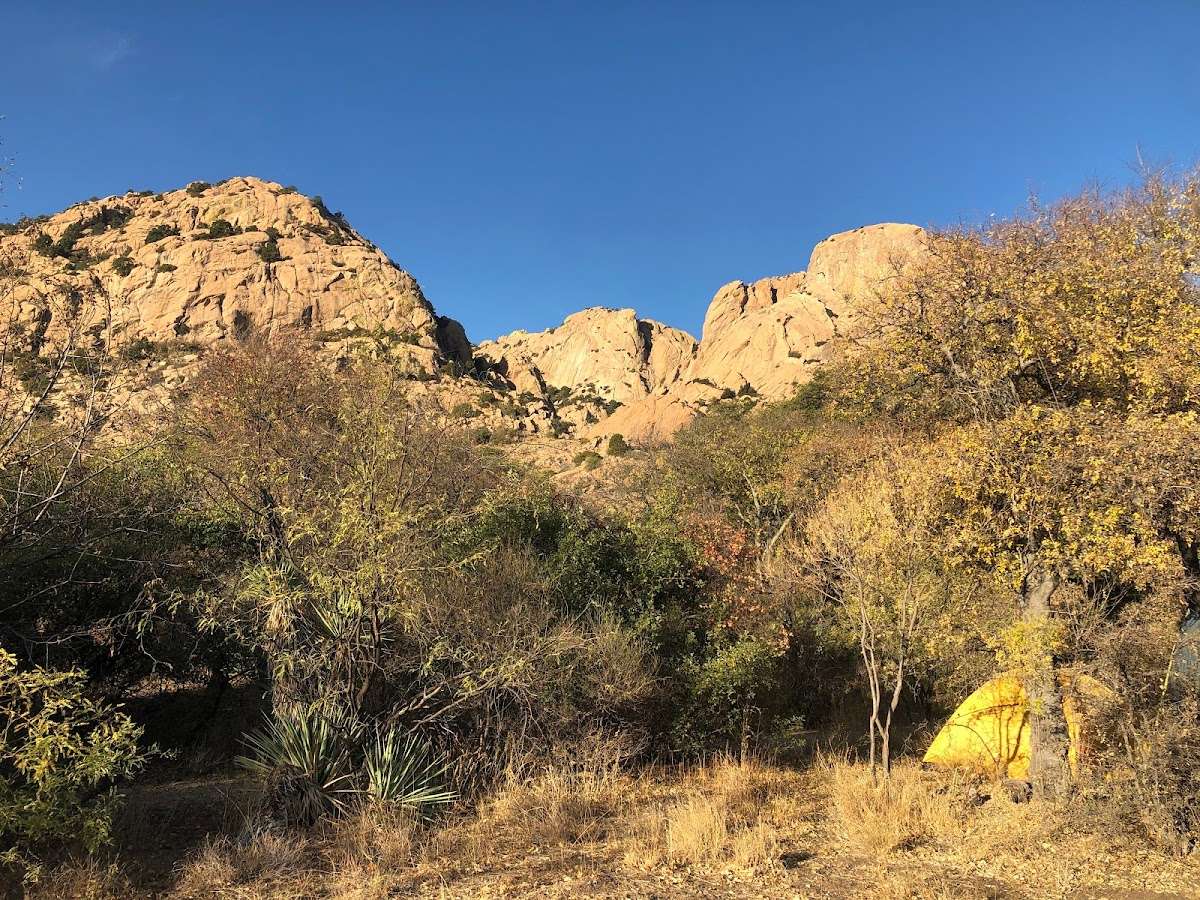
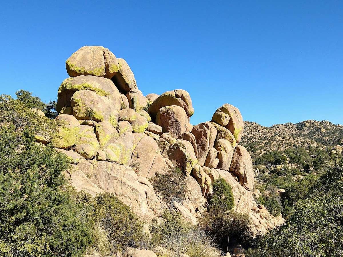
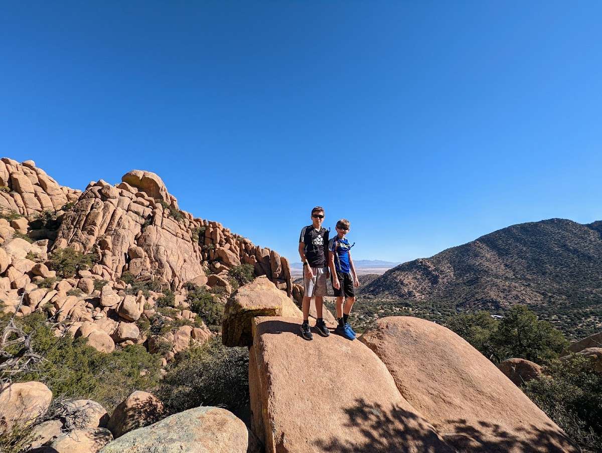
Very scenic. The road going in is rough, so be prepared, but it is well graded. A creek runs throughout the area so don't drive here if it has recently rained or the road is flooded in several spots. The campground is small and well maintained. Not suitable for large rigs. There are choices if walking trails. One is a concrete walkway trail, about .25 miles long with information kiosks and lovely views. There are also concrete walls with sitting areas. Great for anyone with walking challenges. The Nature Trail begins to the left of the restrooms with a monument to Cochise and a pretty walking bridge spanning the creek. The trail is easy but has steps so not suitable for wheelchairs or walkers. It is beautiful! Off of that trail is a much longer trail that I am told is 5 miles round trip but is very challenging with steep grades. We saw a lot of couples with dogs hiking. Lots of history lessons here.

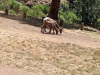
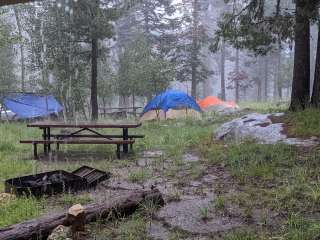
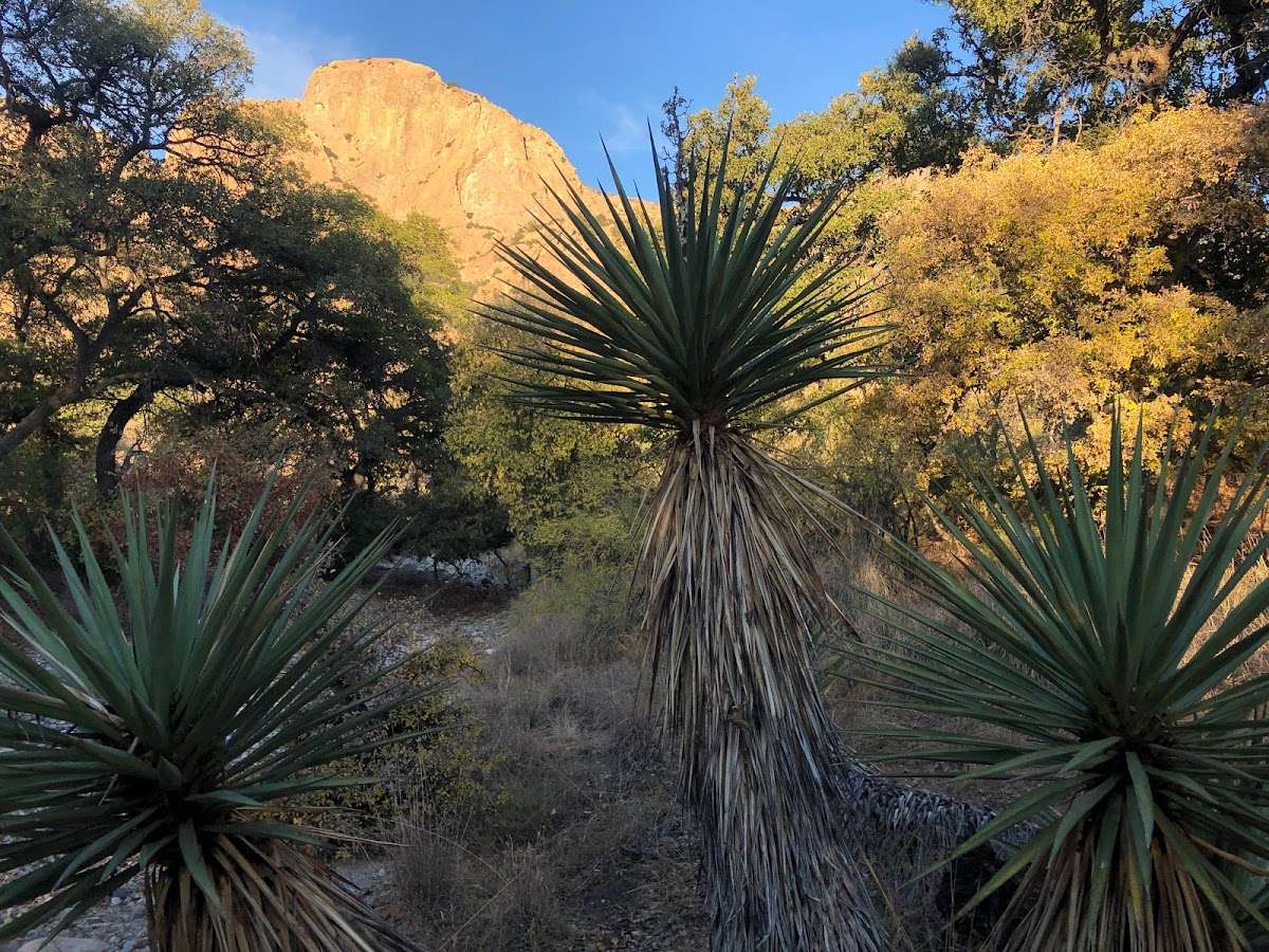
Very pretty. “Closed for the season”. Don’t know what that meant but we hiked around and found the plant identification trail. That was great. The road is rough. Not for RVs or very low cars. You will cross several “creeks”. It had rained the 3 days prior so there was some water in them. Saw a few deer. I can understand how Cochise could keep people safe there. Crazy terrain. TAKE LOTS OF WATER on the hike. If you have dogs, on leash should be observed.

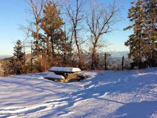
10 mile round trip hike to the road on the west side and back to campground on eastside. The trail to the top was in good condition with several stream crossings. The trail from summit to the west was overgrown with grass and weeds in places but passable. Nice views of several rock formations along the trail.

This hike is beautiful. If you are hiking from the east side, it is a little over 3 miles to the top. It is a climb up.... but nothing too crazy. Wonderful views and several stream crossings. If you go over the divide to the west trail head, it will add about 1.75 additional miles to your outbound trek. It is a steep climb from the west back to the top.