By:
Submission
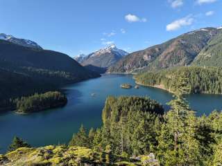
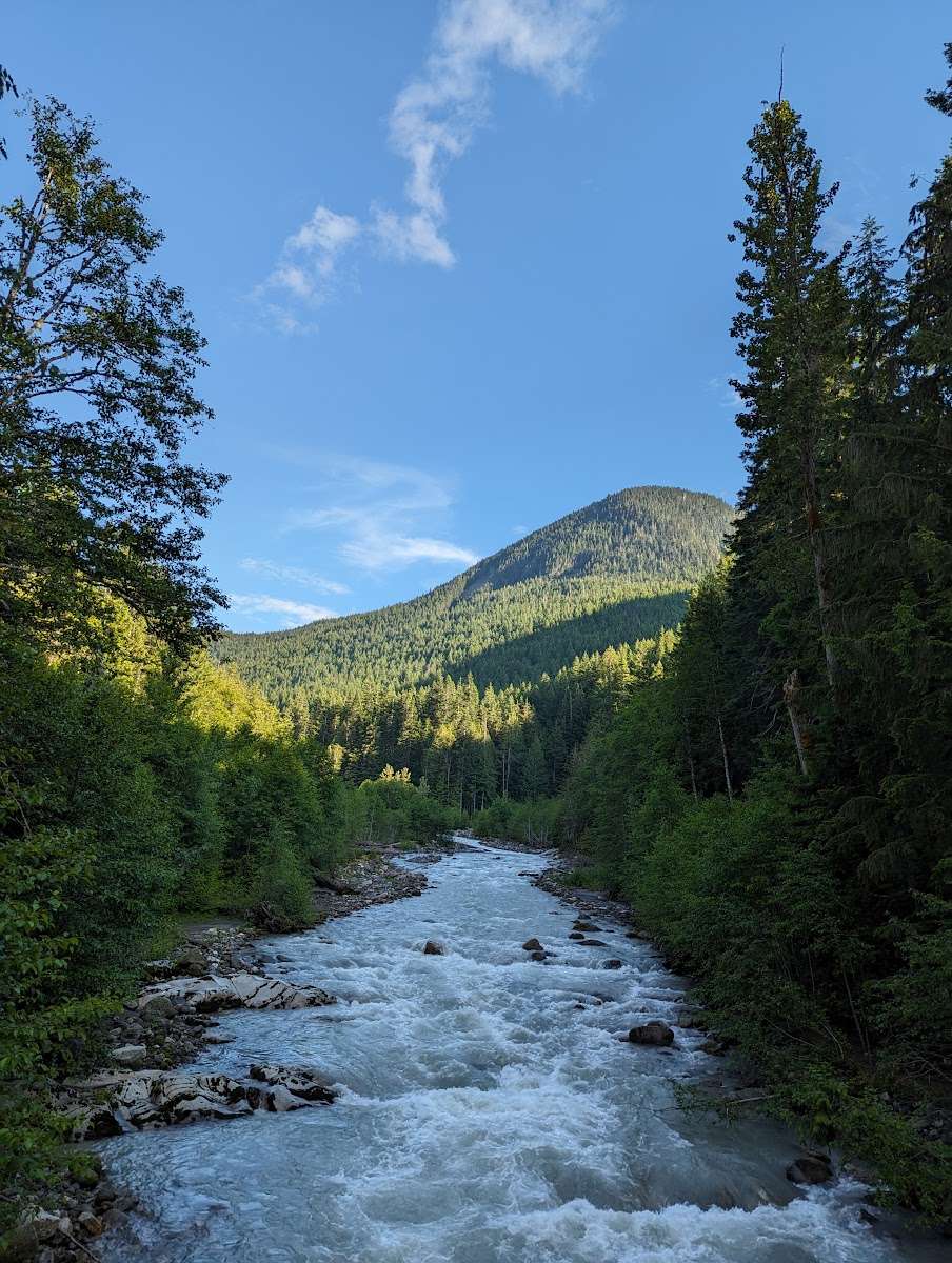
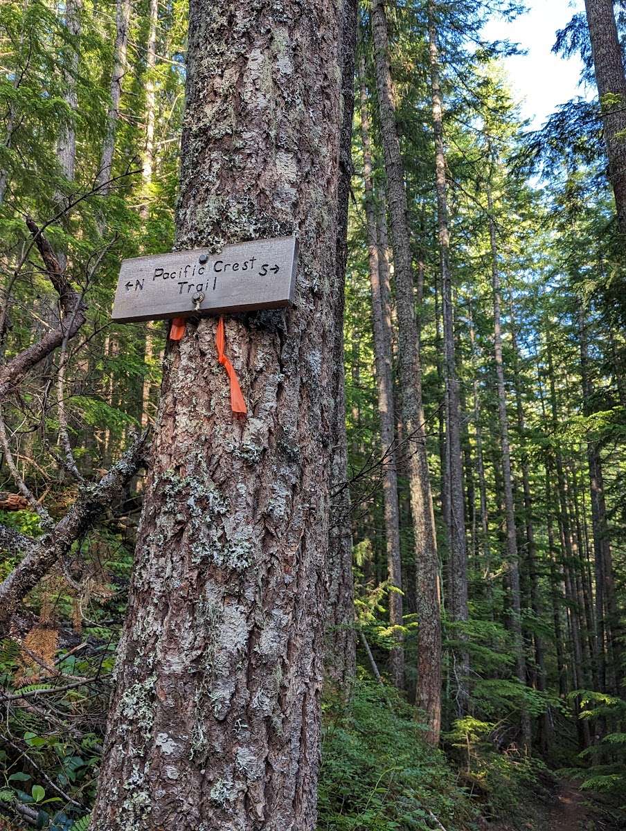
The Suiattle River Road is located northeast of Darrington and is a major route into the Glacier Peak Wilderness, accessing the Pacific Crest Trail and roughly 120 miles of hiking trails within the Suiattle River Watershed. The road provides scenic and pleasure driving and allows people to access areas to hunt, search for wild mushrooms, pick berries and gather other forest products. Tribal members use the road to reach areas and resources important for traditional cultural practices and exercise reserved Treaty rights. Suiattle River Recreation Area Map
Follow State Route 530 east and then north out of Darrington, turn right onto Forest Service road 26 after crossing the Sauk River.


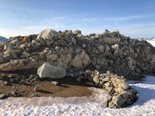
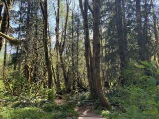
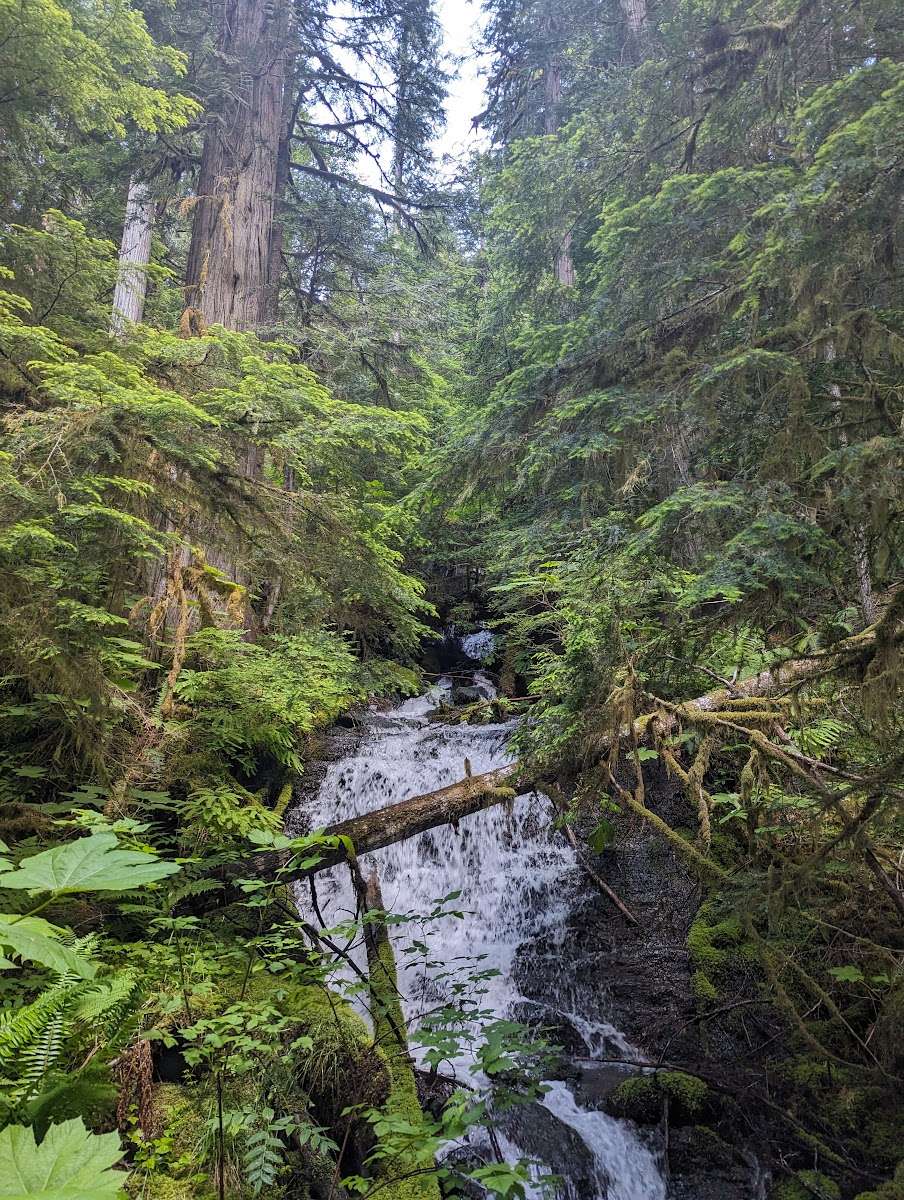
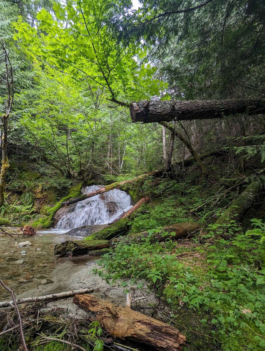
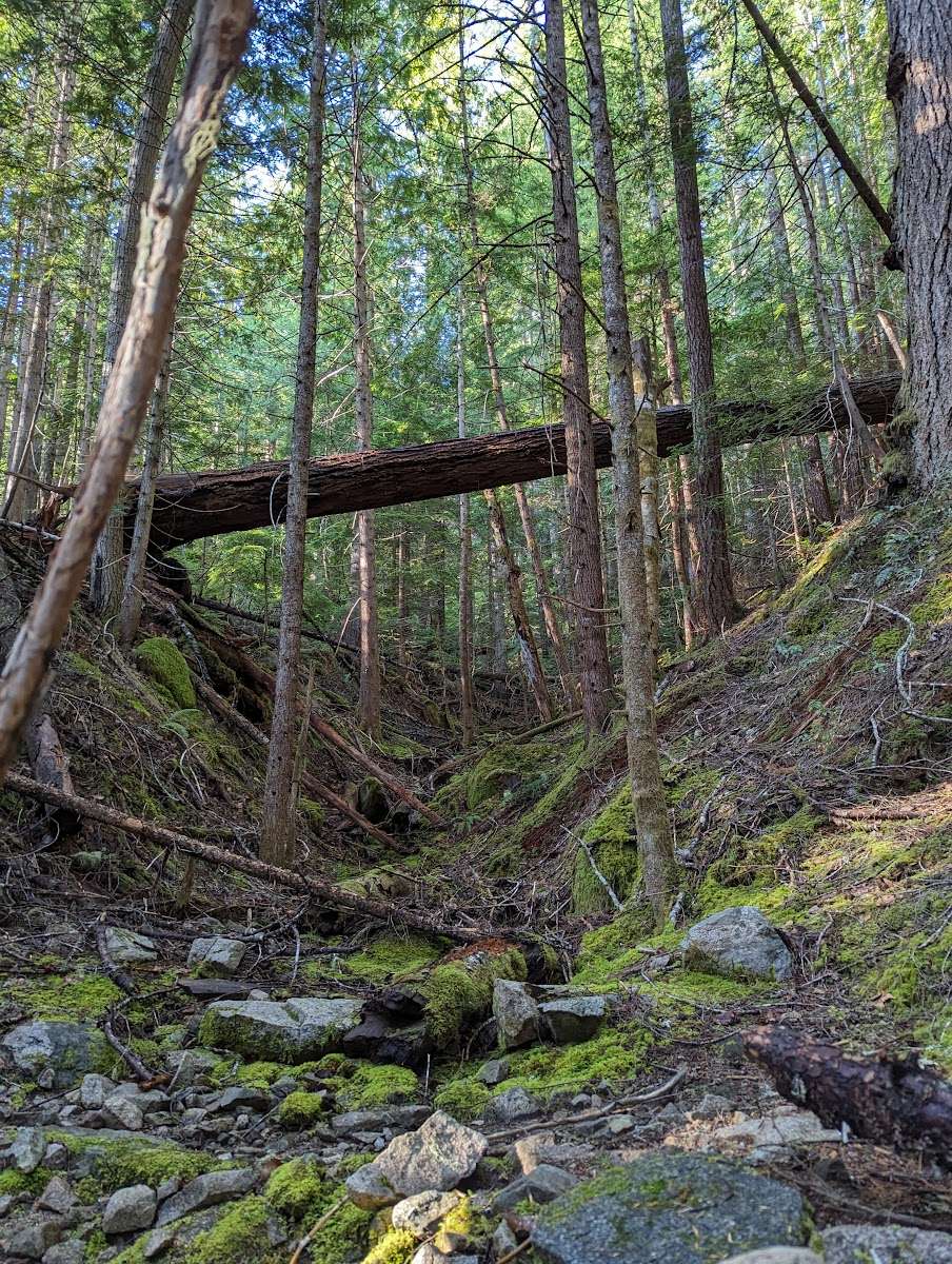
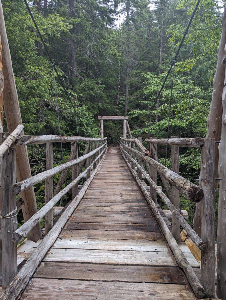
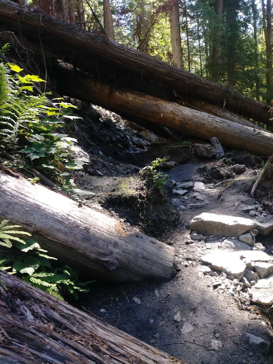
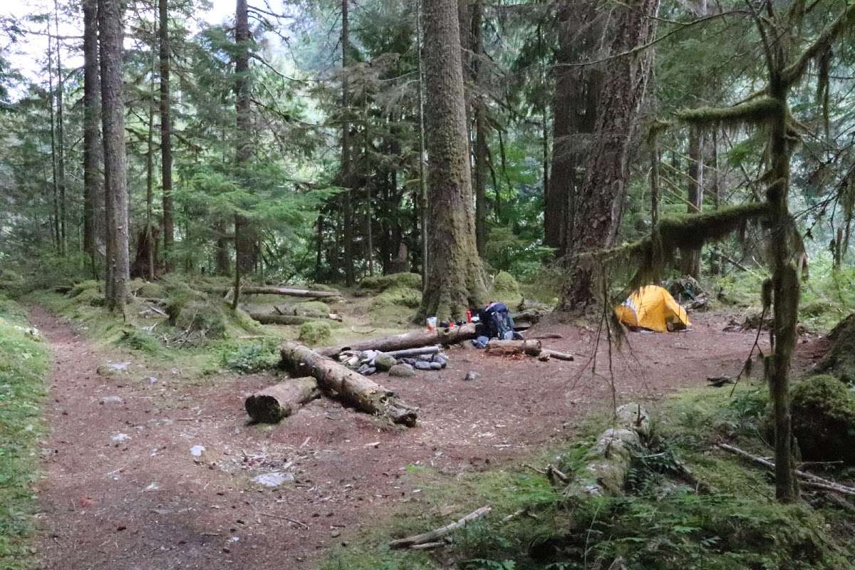
Hiked on the Suiattle Trail #784 East to the PCT Southbound. There's a log jam at N 48° 12.9323' W 121° 9.1120' elev 1857 ft blocking horse traffic. Have to crawl through a mud hole to get through. There are five usable camps along this trail. Green Trails Maps Mountain Loop Highway, WA 111SX map shows three of them. The other two are at: N 48° 12.8143' W 121° 7.9095', elev 1943 ft., and another at: N 48° 12.7449' W 121° 6.2244', elev 2654 ft. (Using an Inreach Explorer)

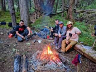
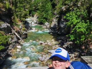
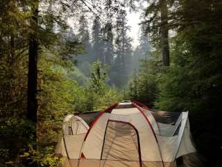
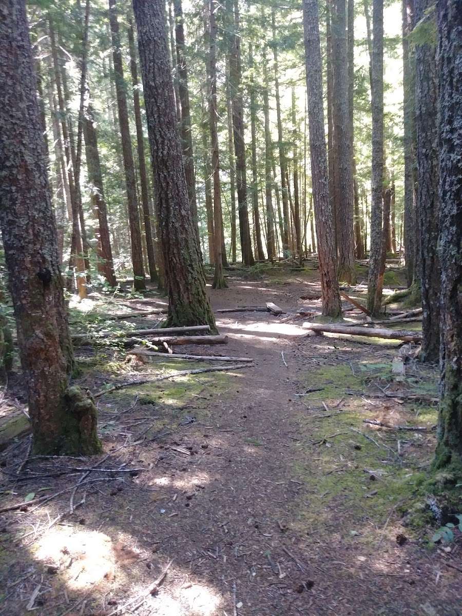
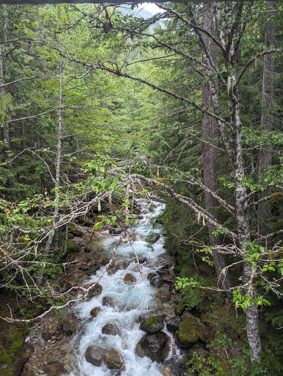
Had a great time. Took 2 brand new backpackers here. For the most part, the trail was well maintained (other than all the trees we had to climb over). Not too hard of a trail. Beautiful scenery. Overall had a great time!