


By:
Submission
Camping is NOT permitted at the Mee Canyon Alcove.
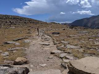
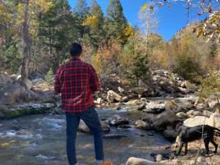
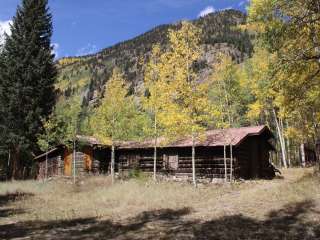
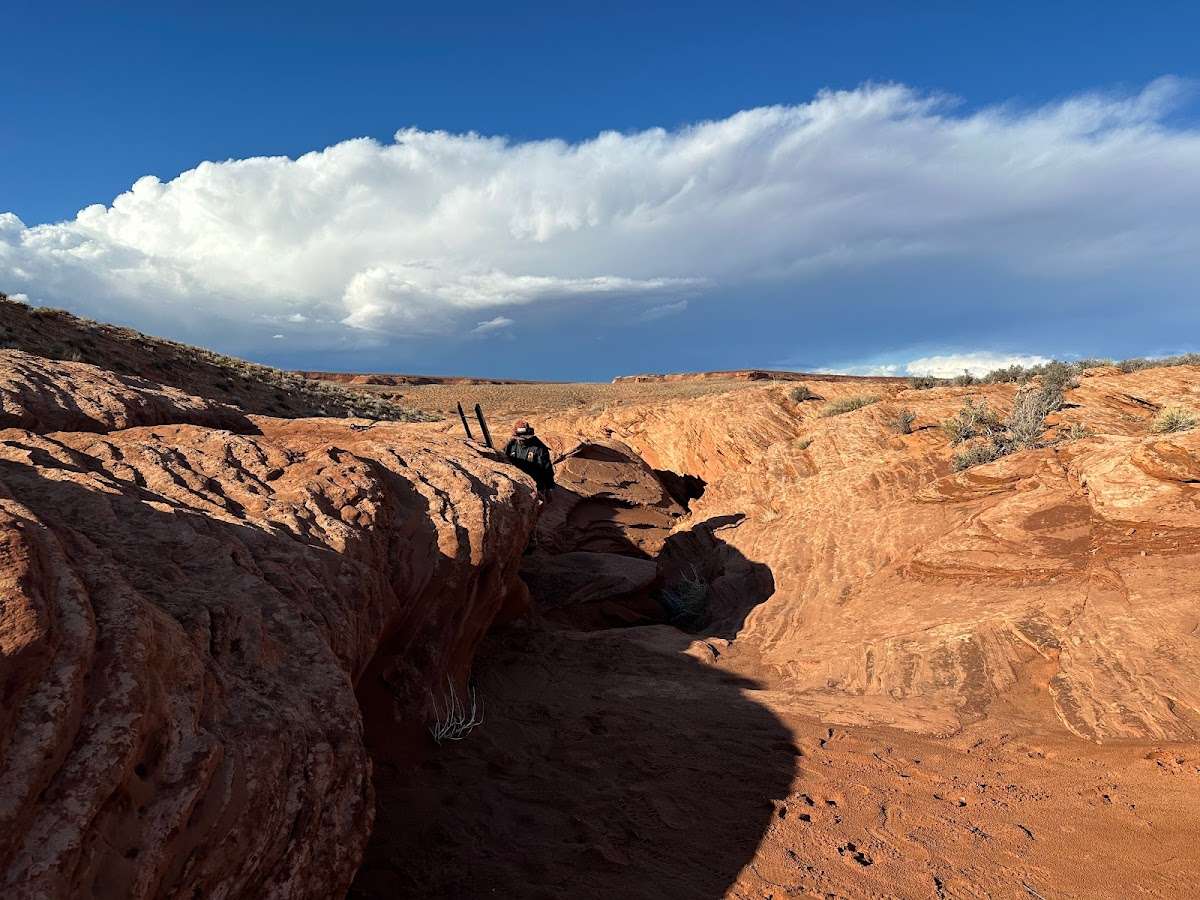
Rattlesnake and Mee Canyon provide outstanding opportunities for solitude and primitive recreation. Geologic features in this area include arches, spires, windows, giant alcoves and desert patina. Between these canyons are pinon-juniper covered mesas which slope downward to the Colorado River. RATTLESNAKE ARCHES: A short section connecting the top of the mesa to the bench below the arches is rocky and steep and requires extra caution - it is not recommended. From the trailhead travel 0.5 miles to an intersection. To the left takes you to an area where you can view the arches from above. To the right takes you to the Lower Arches Trail, which is 5 miles round trip (out and back). In 0.2 miles the trail splits - to the right goes to Pollock Bench Trailhead; stay to the left for the arches trail. Camping is NOT permitted within 1/4 mile of the Rattlesnake Arches Loop and along the access road to the trailhead. MEE CANYON: The trail into Mee Canyon is primitive and only marked with rock cairns. The route steeply descends sandstone layers with exposed cliffs. Camping is NOT permitted at the Mee Canyon Alcove. Leave No Trace principles:
Plan Ahead and Prepare
Travel and Camp on Durable Surfaces
Dispose of Waste Properly
Leave What You Find
Minimize Campfire Impacts
Respect Wildlife
Be Considerate of Other Visitors
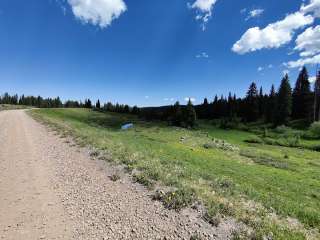
From Grand Junction take I-70 west to Fruita (#19). Turn left at the off ramp and follow the signs to Colorado National Monument. Enter the Monument and travel 11 miles to the Glade Park turn off at 16.5 Road on the right. Go 0.2 miles to Black Ridge Access Road on the right (there will be a kiosk and signage for McInnis Canyons National Conservation Area). It is 13 miles to the trailhead. CAUTION: a high clearance vehicle is mandatory and 4-wheel drive is highly recommended. The last 2 miles is very rough. The roads are impassable when wet. Weather permitting: The upper access road is open from April 15 to August 14. The lower road is open from August 15 to February 14. Motorized travel is prohibited from February 15 - April 15. IMPORTANT: the trailhead and trail are day use only. Overnight camping is prohibited. POLLOCK BENCH TRAILHEAD: Rattlesnake Arches can also be accessed from Pollock Bench Trailhead, which is 15 miles round trip (including the lower Rattlesnake Arches Trail).


Well worth the effort as the scenery and hike is amazong. However if doing it in winter and snow has fallen route finding can be a bit more difficult and it is best to start before dawn to ensure you reach the arches. Made two attempts due to initially mis-assessing the difficulty.

Great trail that I wouldn't recommend for novice hikers. Also, leave your dog at home. Depending on the route it's up to 16 miles with no water and very minimal shade.
Some route finding and scrambling to be expected. Have this loaded up in gaia GPS or the very good COTrex app.

Great hike! Took the lower trail around. Amazing series of arches! The colors of petrified sand dunes and layered cliff walls were breathtaking! After we hiked to the end of the trail, we hiked thru the arch to reach the upper trail.

Incredible landscape, just kind of a rough trip. We first tried to hike in from the CO river, (14 miles RT) but ran out of daylight. Then made the drive and yes, the last 2 miles you need high clearance. It’s worth it. We went in November when I is cooler.

We missed the parking lot. Google reroute us to private road, keep reroute us to other private road. As we were given up on the way out, we saw “Parking” sign, went in to find out it is Rattlesnake Arch trail.
The road to the TH was the worst. Small and midsize SUV can’t make it. Only very high clearance, 4WD truck, jeep or SUV make it. We chose upper trail, if you stay on the trail in the middle you probably missed out the arches. We kind of stay on the left side. Wow, discovered arches after arches. So many. I count, we saw 8 arches on the left side. We didn’t have time to explore the other side, due to lost of day light. Didn’t want to drive out in dark.
Benefit of upper trail is that We get to walk on top of the arches. Only encountered a small group of people and a man kind of lost. Next time I would explore lower trail.
One star off due to the horrible road