


By:
Submission
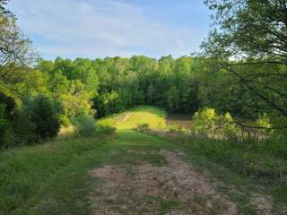
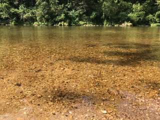
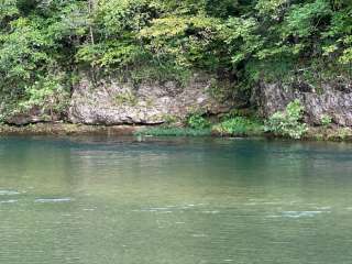
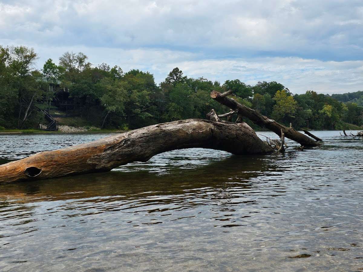
***Watercress sustained substantial damage to the pavilions during the 2017 flood, they are not reservable at this time, however the boat ramp is still open for public use.*** Watercress Campground lies on the banks one of the forest’s greatest treasures; the Current River. Floats on the river provide views of southeastern Missouri that otherwise can't be seen. The area is home to a variety of birds and wildlife and recreation opportunities are plentiful in the surrounding area.
Boating and canoeing on the Current River, as well as on other nearby rivers, are popular activities. A boat ramp for both motorized and non-motorized boats is available on the east bank of the Current River. Anglers enjoy fishing for bass, walleye, sunfish and the occasional catfish.
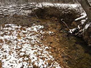
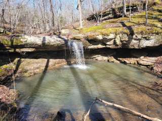
Big Spring, Missouri's largest spring, is just five miles from the campground. Hikers at Watercress area enjoy the Songbird Trail, a 1.2-mile loop that leads to Watercress Spring, passing remnants of Civil War-era earthwork that overlook the Current River.
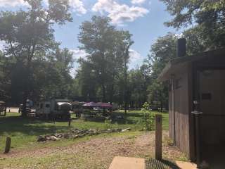
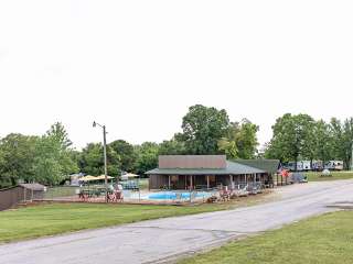
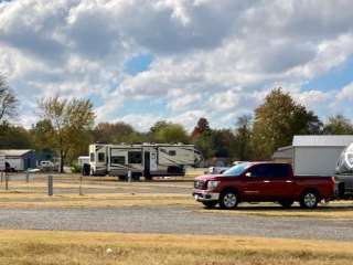
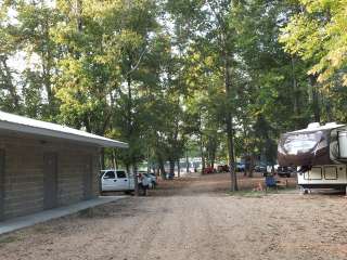
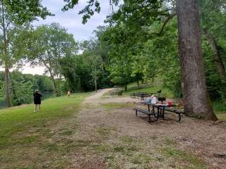
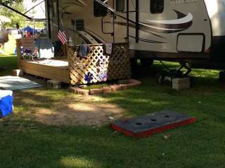
The campground offers 17 campsites for tent or RV camping and the sites are available on a first-come, first-served basis. Each site is equipped with a table and campfire ring. Vault toilets and drinking water are provided.
Two group picnic shelters which can accommodate up to 75 people each are located alongside the river. Each is equipped with tables and grills. A seasonal trash collection dumpster is also available between April 1 and October 1 at the campground entrance.
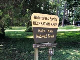
Located within the town of Van Buren, the campground and day use area are adjacent to the Current River, which flows past scenic bluffs, springs, caves as it meanders through the Mark Twain National Forest toward Doniphan, MO.
The campground is adjacent to the Ozark National Scenic Riverways, which is a series of protected rivers in the area managed by the National Park Service. More information about the National Park Service sites can be found [here](http://www.nps.gov/ozar/index.htm).
From Highway 60, drive north on Main Street to the National Park Service sign on Watercress Road. Turn north and drive just past the Park Service building complex, then make a left to Watercress Recreation Area. The picnic shelters are on the left toward the north end of the day use area.