


By:
Submission
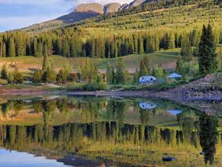
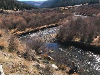
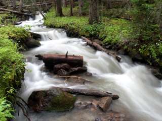
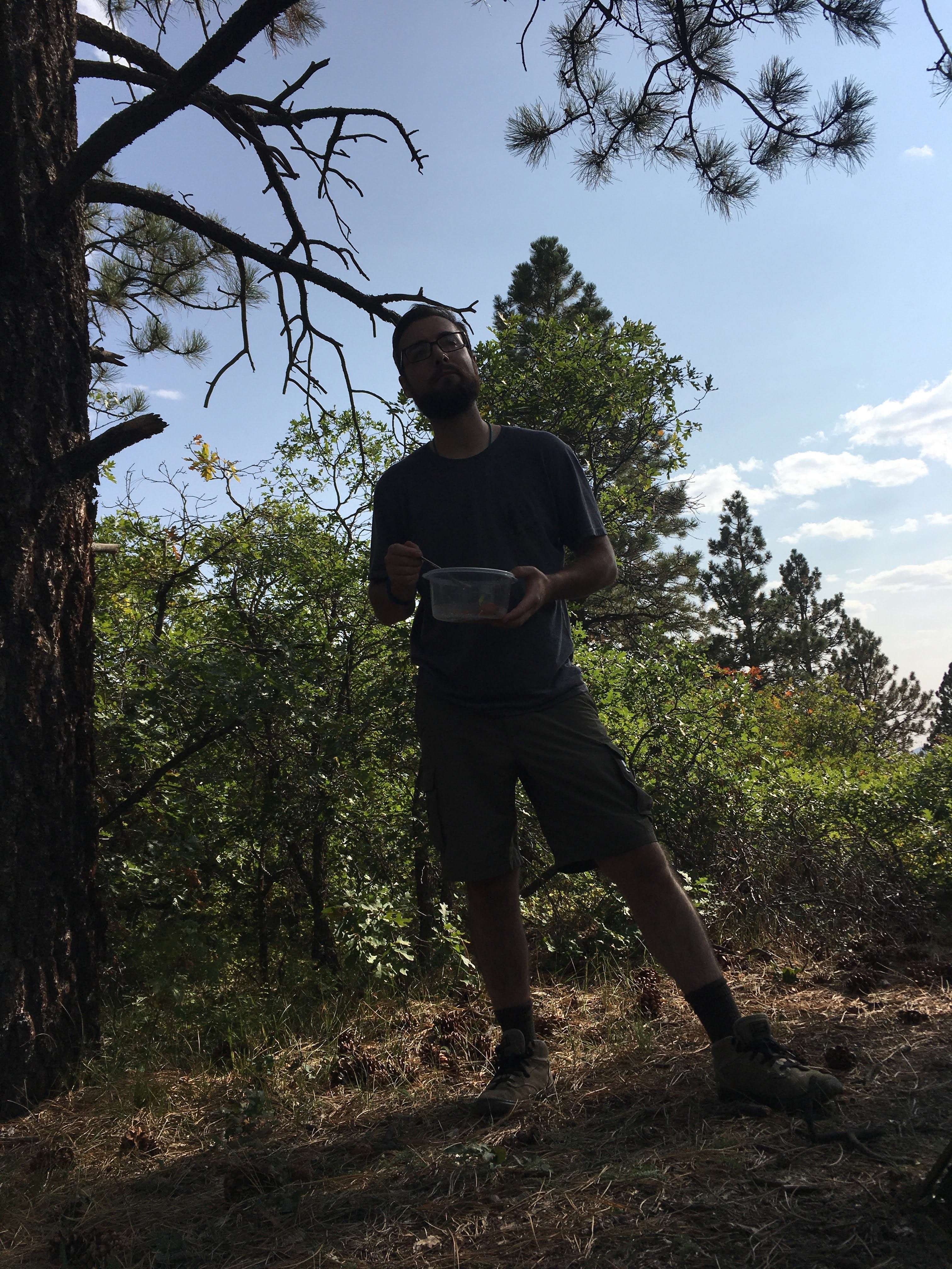
Dispersed camping along Forest Service Road 316
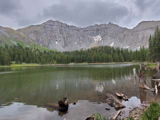
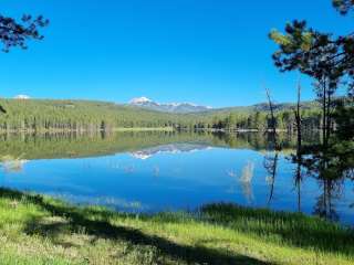
San Juan National Forest encompasses about 1.8 million acres in the southwestern corner of Colorado. From high-desert mesas to alpine peaks, these federal lands are managed for multiple uses and visitors are asked to respect each other and the natural resources. The San Juan National Forest Headquarters is located in Durango, Colorado, with district offices in Bayfield, Dolores and Pagosa Springs.


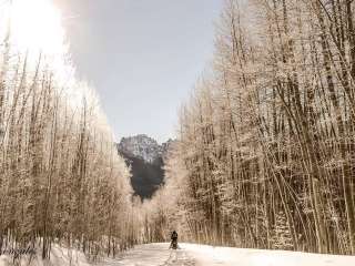
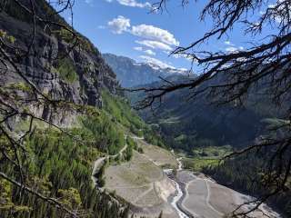
I hiked this peak in late April starting about 3 miles up FSR 316. I drive a low clearance 2WD vehicle, so I parked about 5 miles from the trailhead at the end of the road. I may have been able to drive further if I was motivated to do so. There was still a lot of snow cover at the time that I hiked (about 3ft deep in places). The trail at the end of FSR 316 is fairly well defined and even visible in google satellite images. It leads to the west ridge. The west ridge can then be followed to the summit. It is an easy hike with nice views. It’s a great introduction to the La Plata Mountains

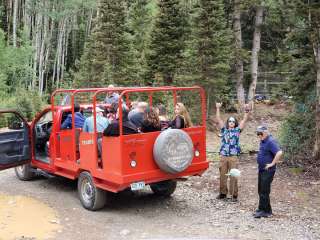
Camped down below. CR316 Free Dispersed camping. 🏕️😀👌
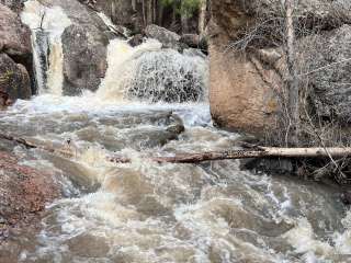
Drove 2 miles pass the 3rd cattle guard. That was some road with the 5+ huge pools of water. I'm happy I didn't drive into any traffic. Parked just a little pass the TR 168. (37.37058° N, 108.13454° W)
*Last time I parked before the 3rd cattle guard, so this time I wanted to see how far I could drive. Definitely need high clearance for some areas.
I kept left at the fork. (37.37465° N, 108.12584° W) I've never been right. Right trail looked more covered in snow.
Route finding was a little hard after coming out of the forest tree line into the Saddle tree line. (37.37507° N, 108.12000° W) patches of snow mounds in the shadows of the tree.
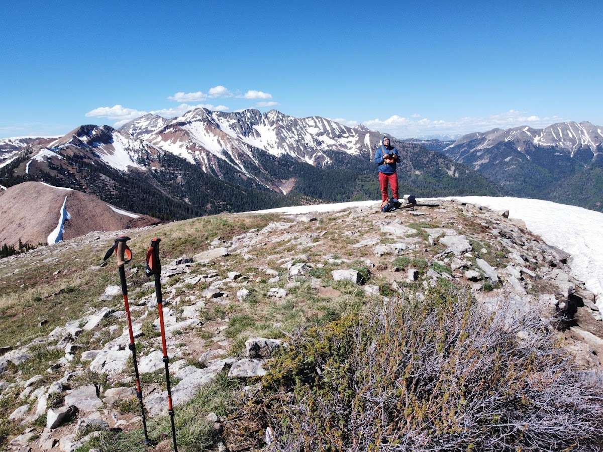
The Saddle before Madden I kept left out of the snow. (37.38098° N, 108.11146° W) but couldn't avoid the snow. So eventually you'll have to walk over the snow. I brought the crampons. I didn't use them till I came back down. I didn't post hole and snow was cold enough to walk on. Kept left of the snow hiking up the talus. Summit and enjoyed the snowy views. Parrot doesn't look doable for me. Ill try again in a month or so.
After coming down the talus I threw on the crampons and walked on the snowy saddle. I noticed there's wooden signs. I didn't get a chance to see what they read. Didn't come across any animals. Gnats were annoying all the way up till the snowy saddle. There's a glass jar at the top of you choose to sign / leave a note *One huge Carin.
Overall a beautiful hike would do it again. Parrot next time!