Contact Info
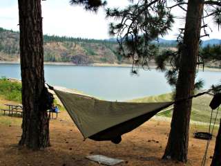
Camping Style
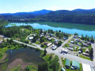
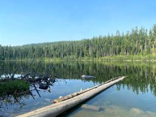
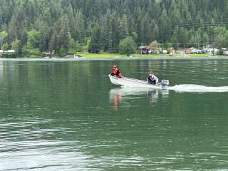
About Campground
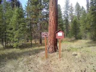
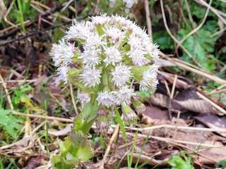
Abercrombie Trailhead is a small turnaround at the end of a high elevation single lane dirt road. There is an information board at the junction of the turnaround and the Abercrombie Trail #117 to let you now that you have made it to your destination. The 3.2 mile Abercrombie trail is primarily wooded until it reaches the ridge top. The ridge is open with scattered trees providing breathtaking panoramic views of the Pend Oreille and Columbia River valleys as well as the Kettle Crest. Wildflowers and huckleberries can be found during the late season and don't miss out on exploring the old Abercrombie Lookout that can be reached by going north where the established trail ends. Provides access to: Abercrombie Mountain Trail #117 North Fork Silver Creek Trail #119 South Fork Silver Creek Trail #123 Flume Creek Trail #502 See also: Northeast Washington Trail GuideAbercrombie Mt #117 Northeast Washington Trail Guide North Fork Silver Creek #119
Directions
From Colville, WA : At the intersection of highway 395 and highway 20 (Tiger Highway) travel east 3/4 of a mile and turn north on Aladdin Road. Travel 34 miles to the intersection with Deep Lake and Boundary Rd. Turn right onto Deep Lake - Boundary Road and travel 7 miles to Silver Creek Road. Go 1.9 miles. Turn left onto USFS Rd 7078. Drive 2.3 miles and turn right on USFS Rd 300. Drive 3.45 miles to the Trailhead. Google map directions from Coville, WA
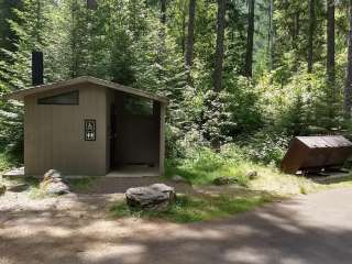
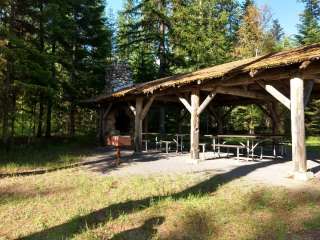
Accommodations

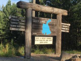
Location Map
More Details
Featured Videos
Reviews Ratings