By:
Submission
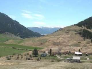
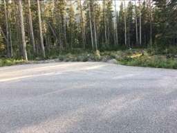
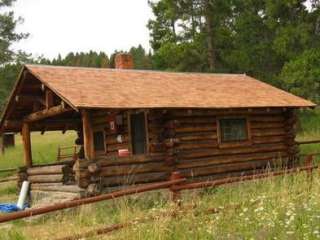
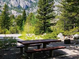
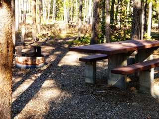
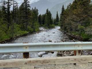
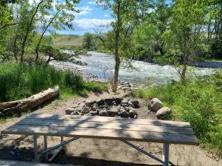
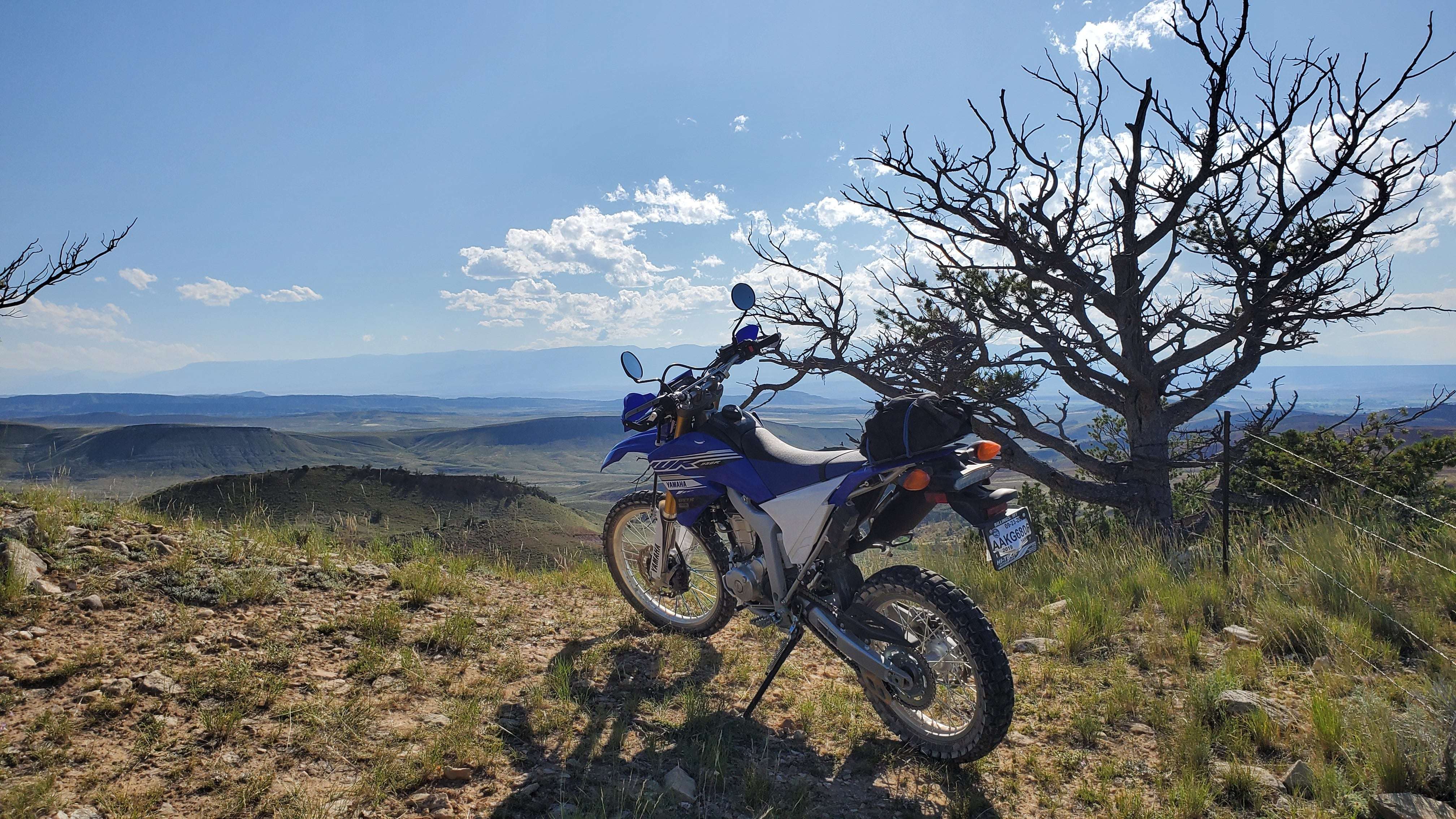
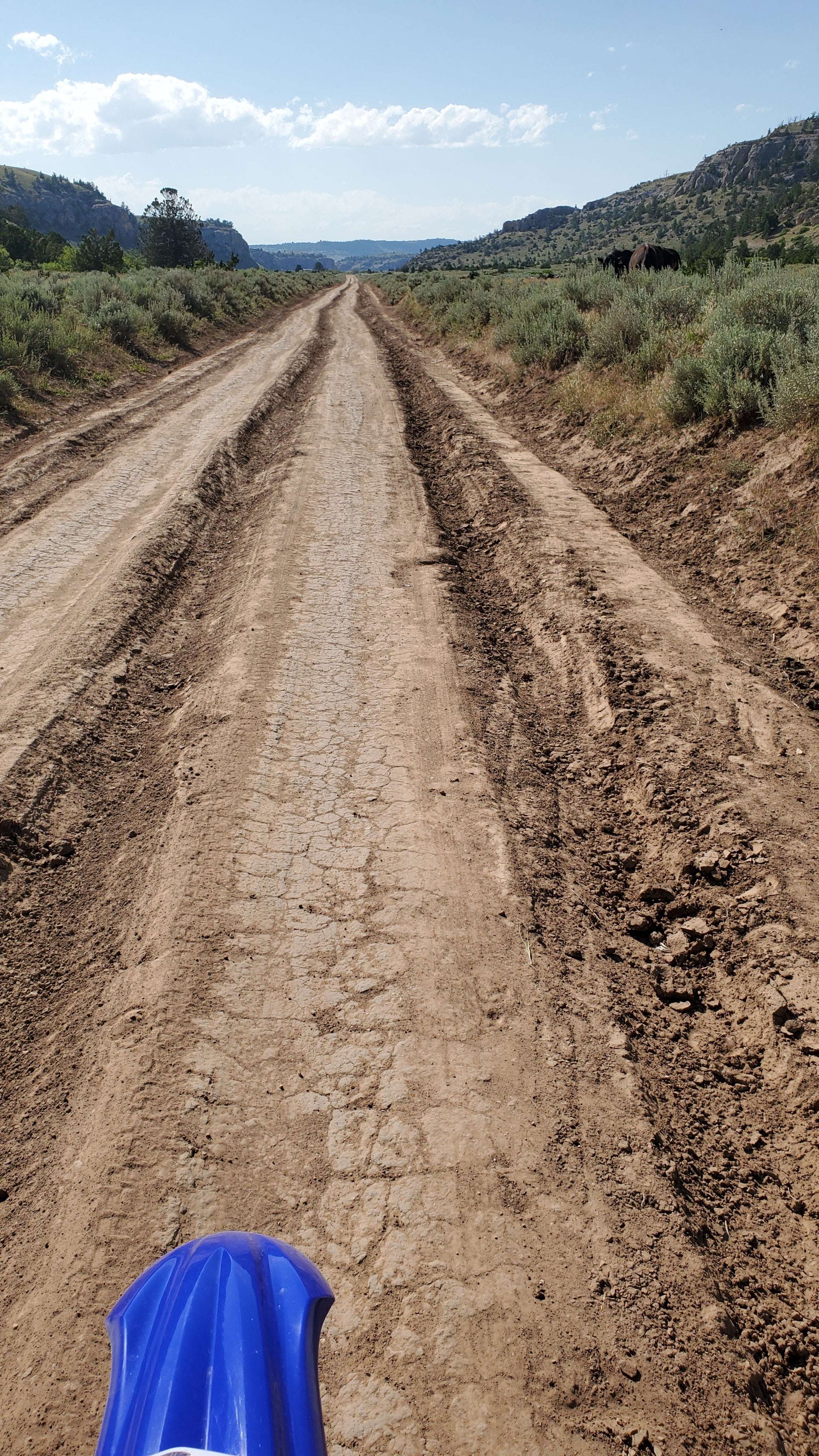
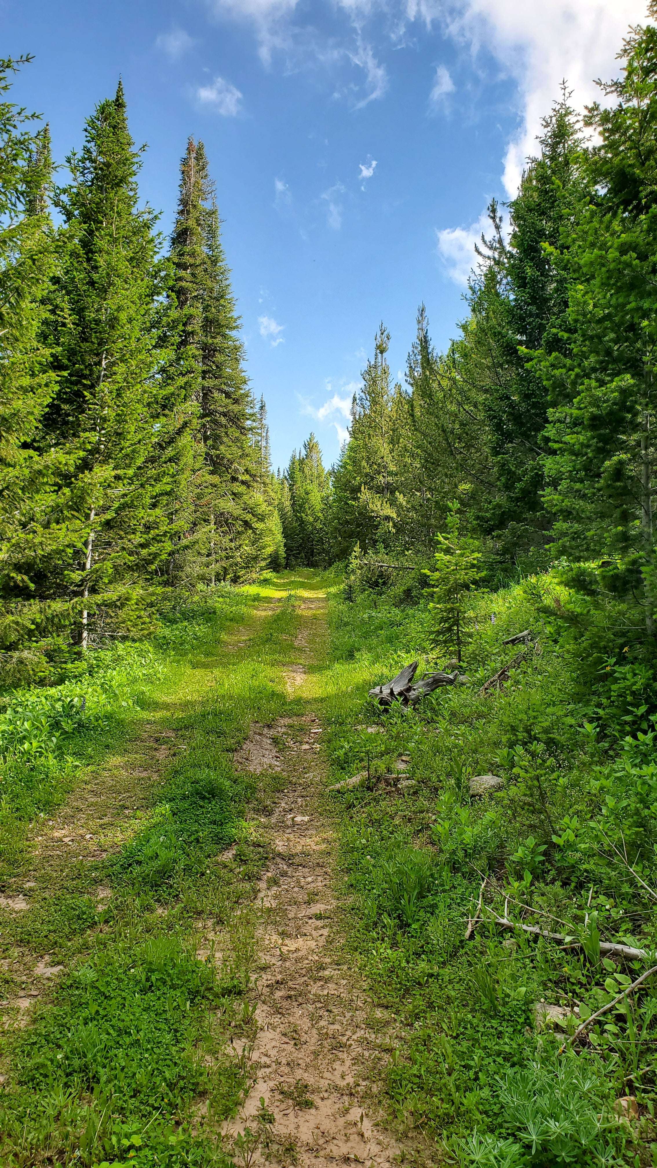
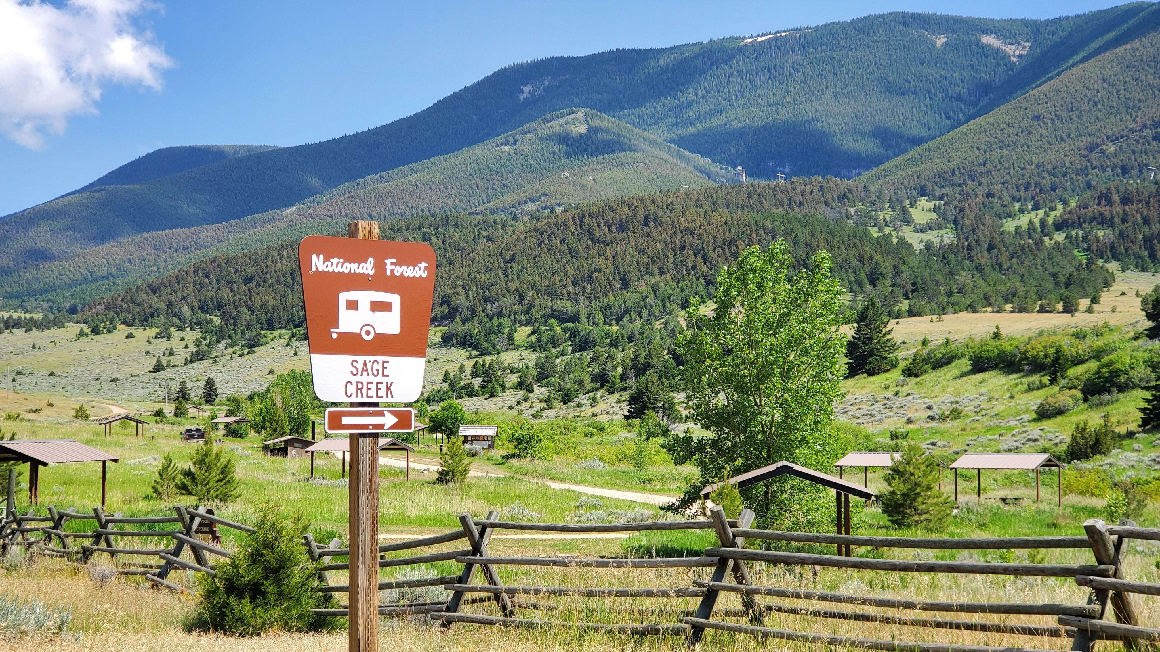
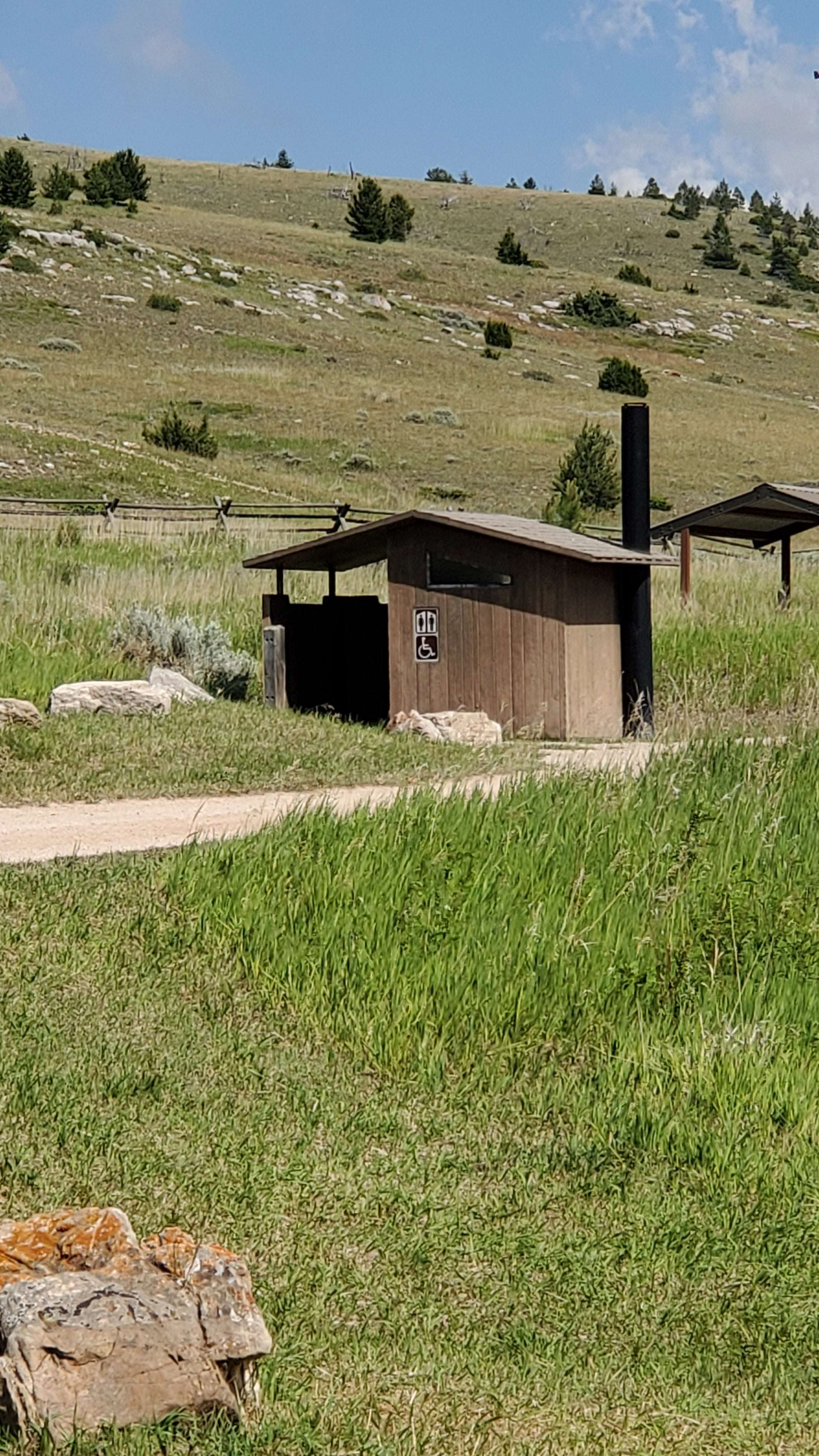
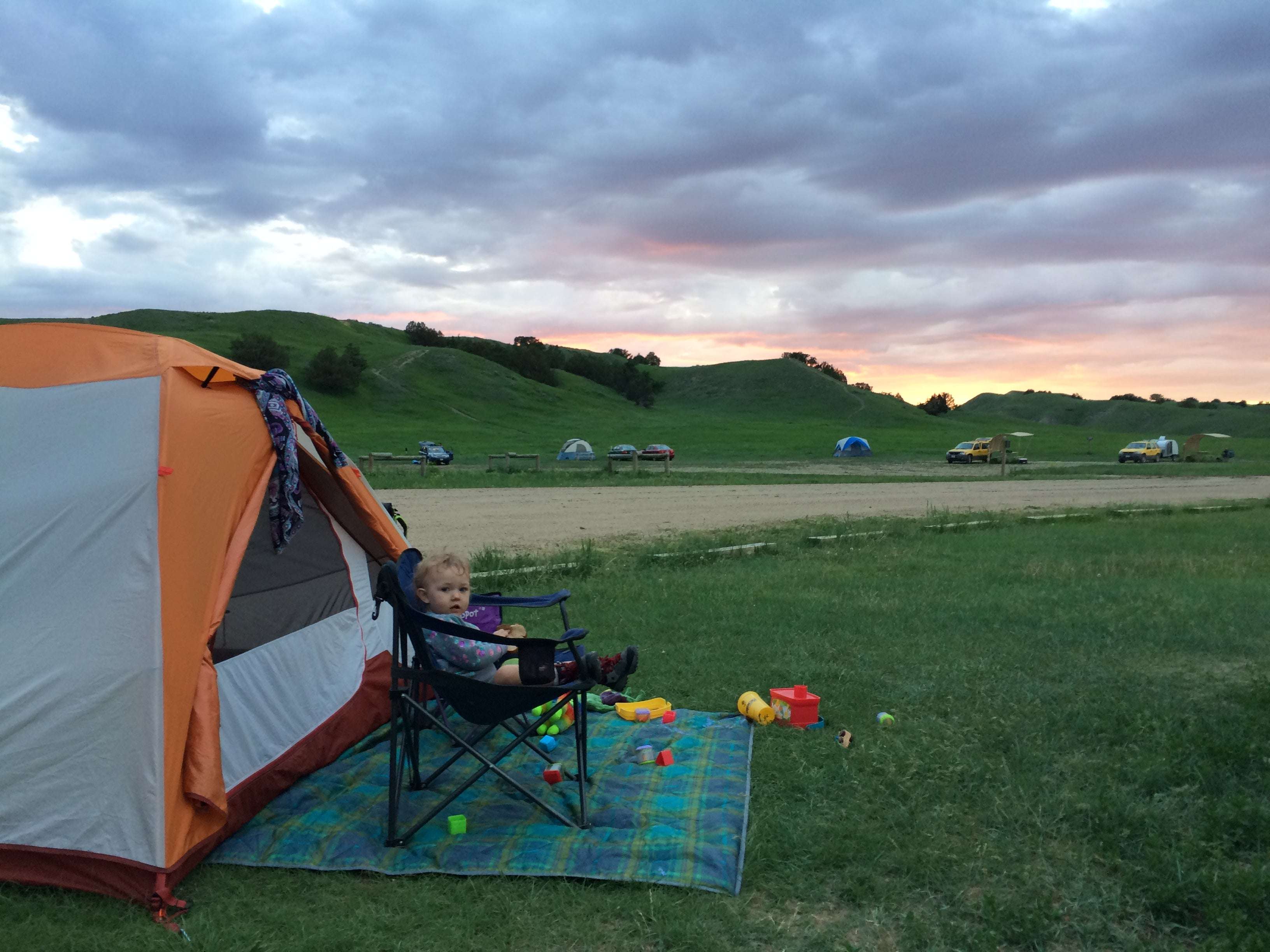
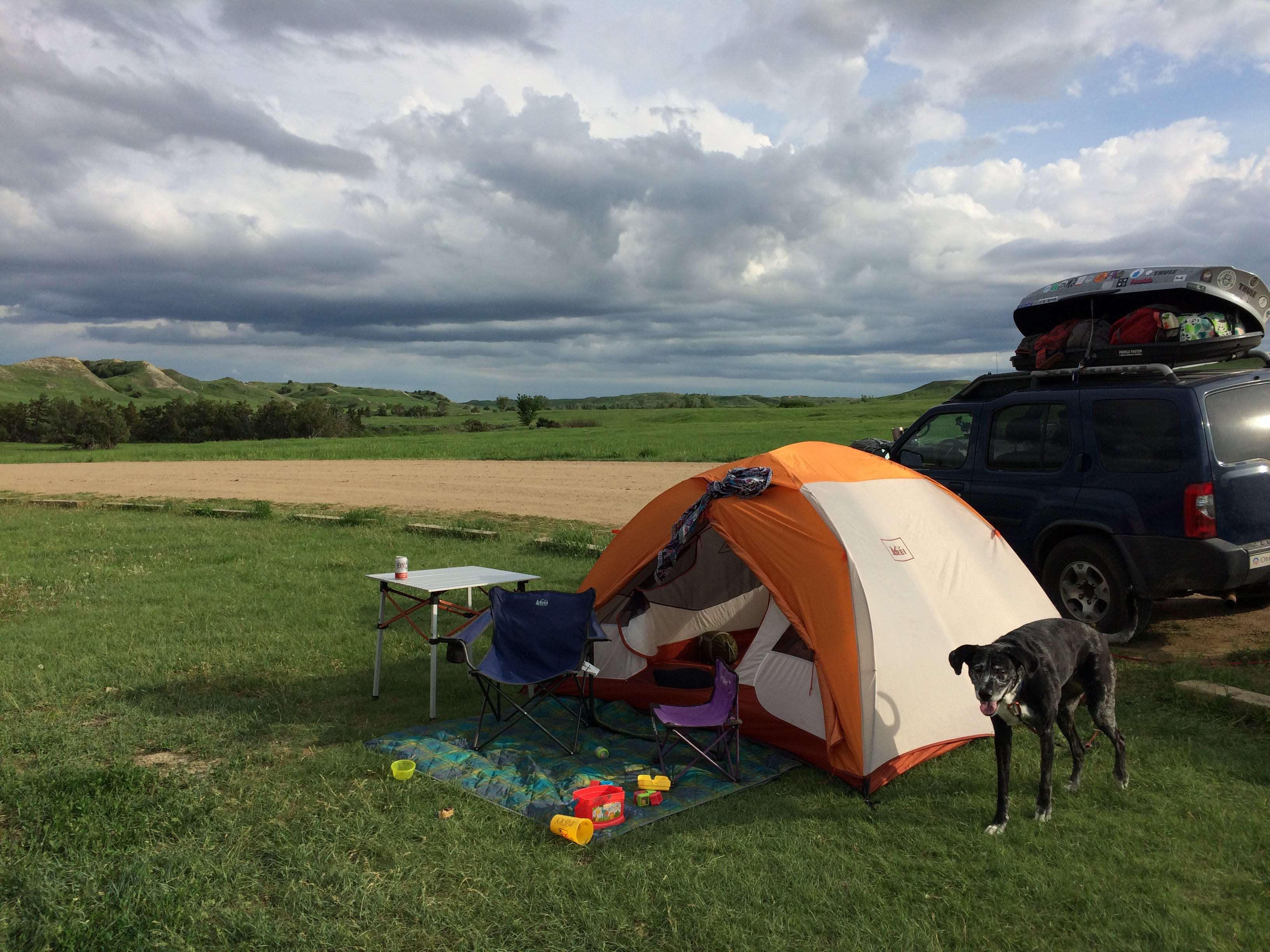
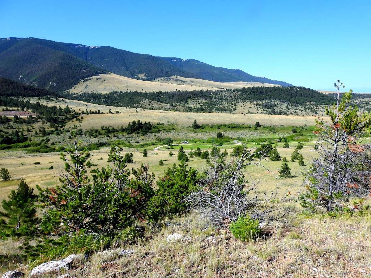
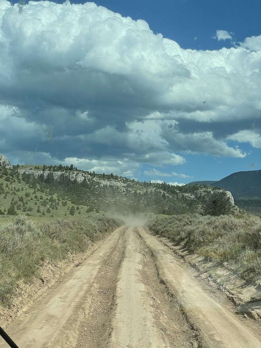
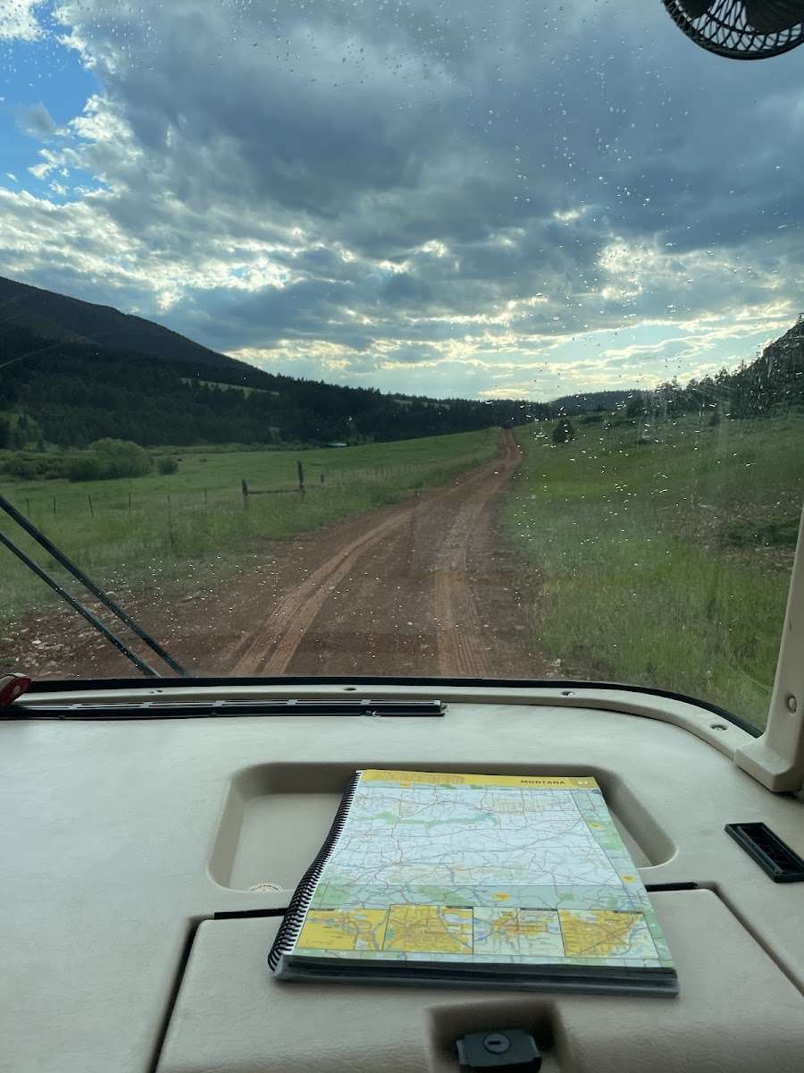
Sage Creek Campground is the only campground in the Pryor Mountains. It is located along the banks of Sage Creek. [ Big Ice Cave Picnic Ground](https://www.fs.usda.gov/recarea/custergallatin/recarea/?recid=60887), and the Bureau of Land Management Pryor Mountain Wild Horse Range are also located in the Pryor Mountains. Numerous motorized trails are located in the Pryor Mountains. See the current year's edition of motor [vehicle use map](http://www.fs.usda.gov/Internet/FSE_DOCUMENTS/stelprd3825418.pdf) (and [legend](http://www.fs.usda.gov/Internet/FSE_DOCUMENTS/stelprd3825420.pdf)) for the area and road closures. There is a _16 day maximum stay_ in all Beartooth Ranger District campgrounds * **Camp sites:** 12 * **Host** : No * **Max Trailer Length** : 30ft * **Accessible Facilities:** Vault toilets * **Trash Pickup:** No * **Firewood:** No. Don't move firewood to other areas or bring in outside firewood.Prevent the spread of tree-killing insects by obtaining firewood near your destination and burning it there. **Reservations** : No Reservations. This campground does not use a reservation system, it is managed on a first-come, first-served basis. * Please be advised that there is not consistent potable water here. Call the district office to learn if there is water, or plan ahead and bring your own. **Directions from the town of Bridger:** [ _ **This route is not advised for campers or horse trailers. High clearance vehicles are recommended**_ ] Drive south of Bridger for 2.8 miles and turn left on Pryor Mountain Road. Drive 12.2 miles until the road dead ends. Turn right to continue on Pryor Mountain Road/ Railroad Grade Rd. Drive 2.8 miles and turn left onto Pryor Mountain Road/ Railroad Grade Rd. In 2.2 miles, turn right onto Railroad Grade Rd. This becomes Forest Road 2500 (Powerline Road). We recommend high clearance vehicles for this section of road. It is rocky and a single track. Drive 6.9 miles and turn right onto Pryor Mountain Road/ Forest Road 2308. Drive 0.3 miles and turn left onto Sage Creek Rd. Drive 0.3 miles to Sage Creek Campground. Roads in the Pryor Mountains become impassable when wet. * [Powerline Road Access Map](http://www.fs.usda.gov/Internet/FSE_DOCUMENTS/stelprd3847064.pdf) **For access with campers or trailers** , it is recommended to access the Pryor Mountains from the south, via the Crooked Creek Road. From Bridger, drive 21.5 miles south on Hwy-310 to Warren (a conveyeor belt for a quarry goes over the road). Turn left onto Quarry Rd and drive 6.9 miles (at 4.3 miles, the road name changes to Helt Rd). Veer to the right onto Gyp Springs Rd and drive for 7.1 miles. Turn left onto Helt Rd and drive for 0.2 miles, then veer to the right onto Crooked Creek Rd. Drive 6 miles to the Forest Service boundary. Continue another 3.4 miles to Tie Flats. Turn left onto Pryor Mountain Rd (Forest Road 2308) and drive 7.6 miles. Turn right onto Sage Creek Road and drive 0.3 miles to Sage Creek Campground, on your right. [approximate driving time from Bridger, MT: 2.5 hours]. * [Pryor Mountain Access Map](http://www.fs.usda.gov/Internet/FSE_DOCUMENTS/stelprd3847033.pdf) **Information: Beartooth Ranger District 6811 Hwy 212 Red Lodge, MT 59068 (406) 446-2103**
From Bridger, MT, take US Rt. 310 south 2.4 miles to Pryor Mountains Access sign (Pryor Rd.). Turn left onto Pryor Rd. and go 12.4 miles to Pryor Mountain Rd. (Forest Rt. 3085). Turn left onto Pryor Mountain Rd. and go 4.4 miles to a crossroads. Continue straight and go 6.2 miles to first left turn (sign has been removed). Turn left and go 0.3 miles to campground.


Desolate campground in beautiful country. Cell phone service on top of the hill in front of the entrance


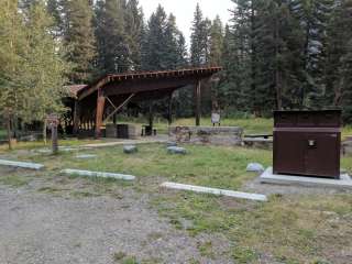
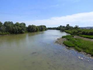
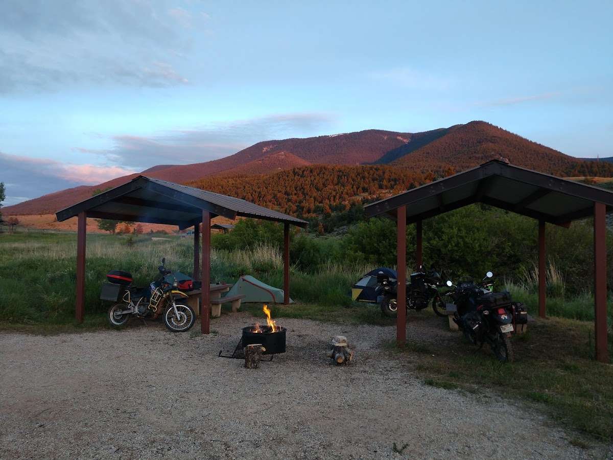
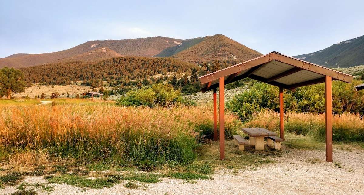
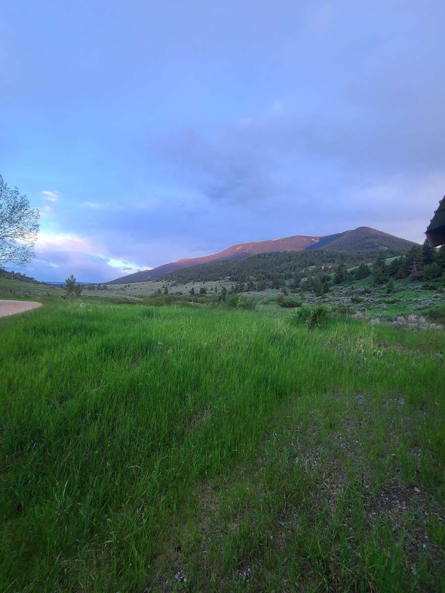
Some spots overgrown but it's nice open and has metal like awnings over the table. There's a creek but very muddy and when we were there it was very windy idk if that's all the time. But I'd go back

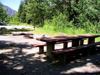
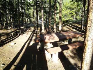
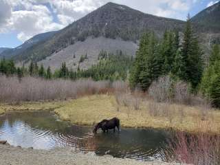
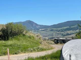
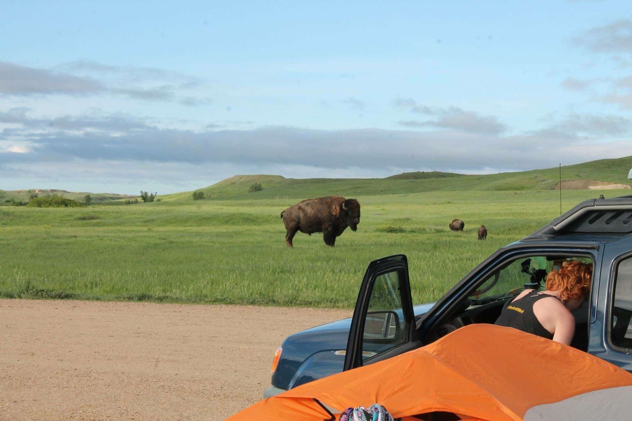
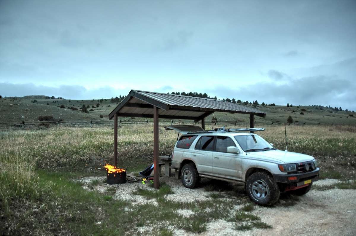
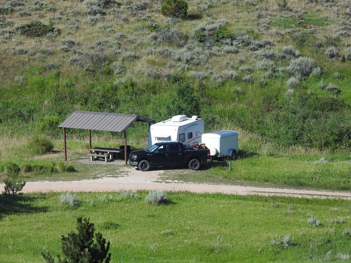
Kind of hard to get to through private road if you don't have a truck or off-road vehicle. Once on public land the roadwas a lot better. Each spot has a cover, table, and fire pit. 10 spots at least. Right next to a cold creak. Ground was level for tent. The drive was pretty and we even saw a bear cub.

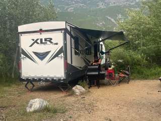
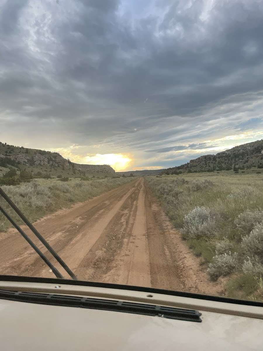
The actual rv site is pretty and looks like it could be enjoyable. However, to the get to the rv site is a nightmare. No exaggeration, it starts off on a gravel road and one is like okay, it can’t get worse than this, it mustn’t be much longer. NO!!! It gets worse and worse. The road turns into a nightmare of ruts!! Not just for a couple of hundred feet but for miles with no place to turn around. THIS is not a safe site for rvs because of the road in. The actual site is a ghost town. There was not one other person. We decided to leave. The cell service is minimal at best. We tried two different roads to get out and spend 5 hours to end up back on the same road we took in. There should be clear signs at the beginning and warning signs if someone happens to miss the first sign. TURN around, this is for off road vehicles only! No RV camping. If you are thinking of going to the Big ice cave or to see wild horses and have an rv, do not do it!!!!