


By:
Submission
Hager Mountain Lookout sits at an elevation of 7,195 feet, offering guests spectacular panoramic views of the surrounding area. It is one of a diminishing number of lookouts still staffed for fire detection annually during the fire season and is open to guests in the winter months. The site is available for rent from November 15 to May 15, offering a unique lodging experience for guests seeking a bit of solitude and relaxation. For the remainder of the year, it is staffed by Forest Service personnel. This rugged, winter destination awaits the most enthusiastic outdoor adventurers as it is only accessible by foot, snowshoes or cross-country skis. Skiing or snowshoeing can take from a couple of hours to half a day or more, depending on weather conditions and one's physical endurance. Travel into remote locations in the winter requires experience and advance preparation. Expect windy conditions.
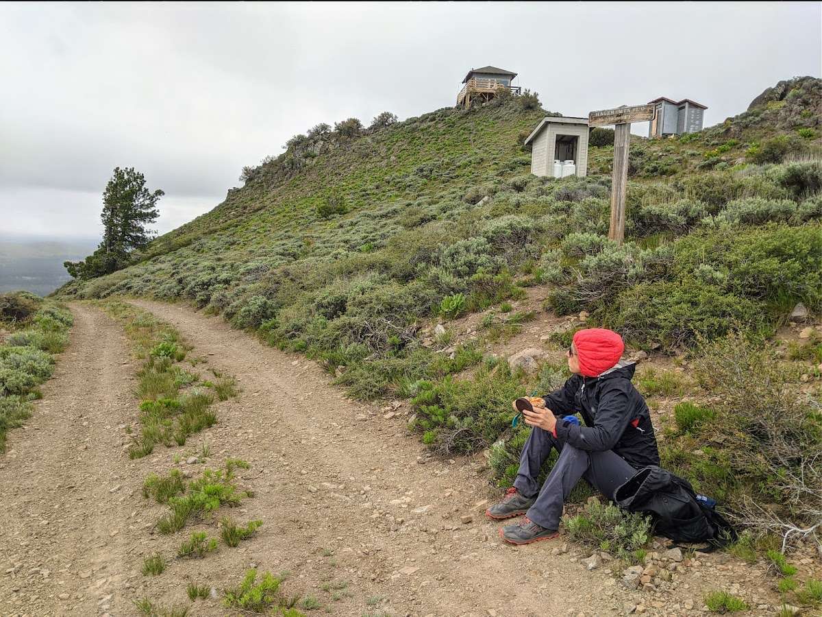
Hiking, wildlife viewing, stargazing, snowshoeing and skiing are popular activities. Hager Mountain is used during fire season to keep watch over the surrounding flat lands for any sign of smoke. During the winter, it becomes a winter wonderland and has one of the best snowshoeing climbs available in southern Oregon. The strenuous 4-mile hike up the west side of the peak leads to a panoramic view of the landscape. The lookout is a great spot for winter camping.
At night the lookout is an ideal setting for stargazing, as constellations and planets put on a dazzling display.
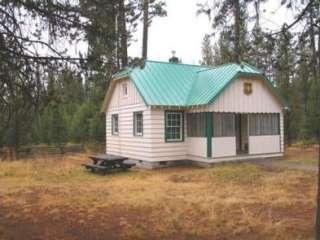
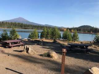
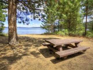
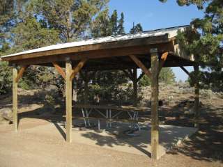
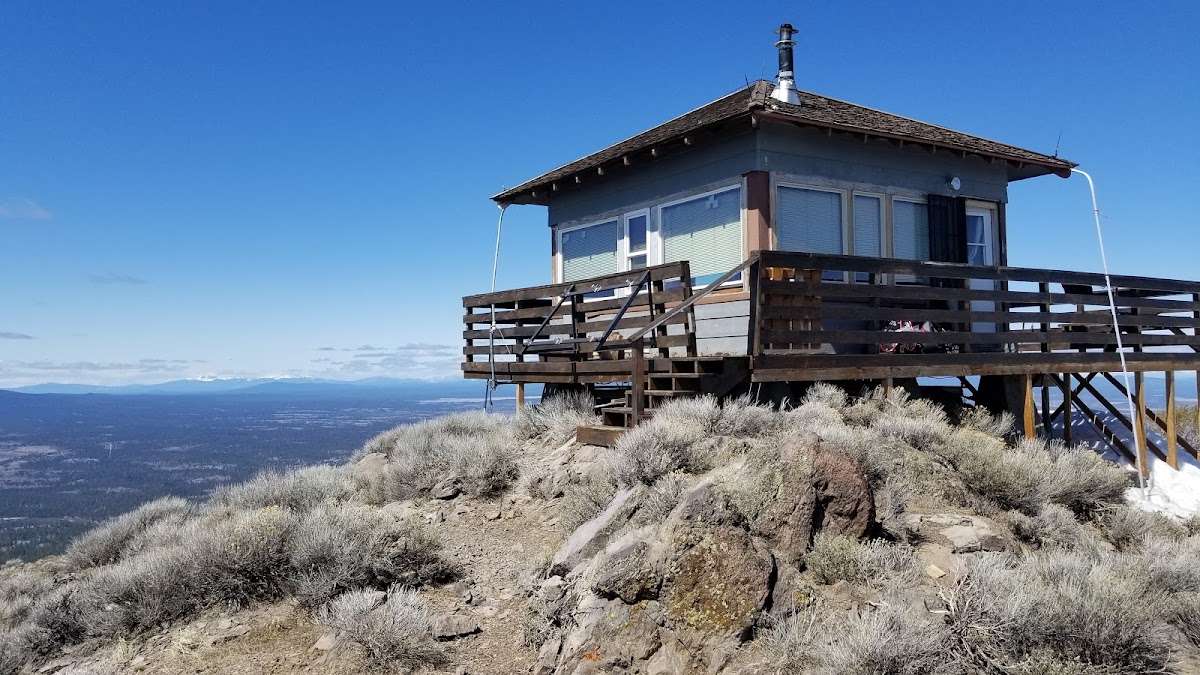
The fire lookout is a 14' x 14' room that can accommodate up to four people. It is furnished with three beds and mattresses. It is also equipped with a countertop, woodstove and propane stove. Firewood is provided. A picnic table is provided outside. A pit toilet is also located near the lookout. There is no water on-site, so guests must bring sufficient supplies for drinking, cooking and washing. Guests must also provide their own food, sleeping bags, sleeping pads, a light source, towels, dish soap, matches, cooking gear, first aid kit, toilet paper and garbage bags.
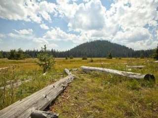
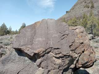
A series of dome-building volcanic eruptions occurring about 8 million years ago gave birth to Hager Mountain. The lookout is perched on the bald cap rocks that make up this mountain and offers 360 degree views as far as Mount Hood and Mount Shasta on a clear day.
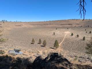
Surrounded by towering snow-capped peaks, volcanic landscapes and wide-open sage basins, the area is known for scenic vistas and wild places where guests can still find solitude.
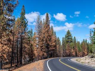
From Silver Lake, drive to County Road 4-12. Travel south on County Road 4-12, which turns into Forest Road 28. Continue south to milepost 9. The car pull-off is on the left. Walk, ski or snowshoe 4 miles to the National Recreation Trail to get to Hager Lookout. In the winter, please check with the Silver Lake Ranger District for Snow conditions to determine the best method of access prior to departure. The rental season begins and ends during periods when snow levels fluctuate, making walking or driving access questionable.


A short hike up to a well-appointed lookout tower, tremendous views and plenty of goats!

Summited first week of Jan 2019; snow drifts 4 feet deep. We chose snowshoes instead of skis and were happy as there were many downed trees to step over. We prepared for the worst as far as conditions go and were successful because of our planning. Wood supply was lower than normal due to gubbament shutdown so we used sparingly. Once above treeline, if in a snowstorm, expect to fight gale force winds on your way to the top. If you make it this far, DO NOT STOP! You are too close to turnaround. We followed the route I had preset via GPS as above treeline, the trail markers (Orange whip markers) are hard to see/ far and few between. We stayed two nights, thoroughly enjoyed ourselves, and will definitely return in a few years.